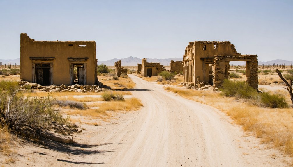
When you visit Agua Mansa, you’re tracing the ghost of California’s first inland frontier town — a New Mexican settlement built in 1842 and swallowed by the Great Flood of 1862. Almost nothing survived except a hilltop cemetery holding an estimated 2,000 graves. Pair it with nearby Rancho Jurupa Heritage Sites and Colton’s civic remnants for a full regional itinerary. Keep exploring, and the full story of what rose, thrived, and vanished here gets even more compelling.
Key Takeaways
- Agua Mansa, founded in 1842 by New Mexican colonists, was completely destroyed by the catastrophic Santa Ana River flood of January 1862.
- The hilltop cemetery, containing an estimated 2,000 graves, is the only surviving remnant of the original settlement.
- Nearby Rancho Jurupa Heritage Sites provide essential context for understanding Agua Mansa’s founding and the broader rancho period.
- Colton’s architectural and civic remnants serve as a complementary stop, enriching the regional ghost town road trip experience.
- Combining the cemetery, heritage sites, and nearby attractions transforms the visit into a comprehensive inland California frontier history journey.
What Is Agua Mansa: and Why Did It Disappear?
Though it barely registers on modern maps, Agua Mansa was once the largest town in San Bernardino County—a thriving agricultural settlement that New Mexican colonists built from scratch along the Santa Ana River in 1842. They brought cultural traditions from Abiquiú, New Mexico, establishing vineyards, orchards, and livestock operations across a frontier landscape that few outsiders had yet claimed.
Then the Great Flood of 1862 erased nearly everything. The Santa Ana River swallowed homes, buried farmland under gravel, and shattered whatever architectural remnants the settlement had carefully constructed over two decades. Rebuilding never took hold.
What you’re left with today is a cemetery on a hill—silent, persistent, and remarkably telling. That graveyard didn’t survive by accident. It survived because water couldn’t reach it, and history rarely lets useful ground go to waste.
The New Mexican Colonists Who Built the San Bernardino Valley’s First Town
Before you can understand what was lost in 1862, you need to know who built it. In 1845, Juan Bandini donated land from Rancho Jurupa to New Mexican colonists led by Santiago Martinez and Manuel Lorenzo Trujillo. These settlers had traveled from Abiquiú, New Mexico, carrying their cultural influences westward into Alta California.
Before anything was lost, something had to be built — and the builders came from Abiquiú.
They established two linked villages — Agua Mansa and La Placita — on opposite banks of the Santa Ana River. Together, these communities formed the first non-native settlements in the San Bernardino Valley.
The architectural styles they introduced reflected New Mexican frontier traditions, blending adobe construction with agricultural layouts shaped by river geography.
In exchange for land, they provided protection against raids. They built vineyards, orchards, a church, and a school — a functioning civilization carved from open territory.
How the Great Flood of 1862 Erased Agua Mansa Overnight
When you stand at the Agua Mansa Pioneer Cemetery today, you’re looking at nearly all that survived one of California’s most destructive natural disasters.
In January 1862, the Santa Ana River swelled beyond any scale the colonists had witnessed, sending floodwaters crashing through the settlement and burying farms, homes, and decades of frontier labor under sand and gravel.
The flood didn’t just damage Agua Mansa — it erased it, stripping the town so completely that the cemetery on its hill became the settlement’s only legible mark on the landscape.
Santa Ana River Rises
By the winter of 1861–1862, relentless rainfall across Southern California had pushed the Santa Ana River past every natural boundary it had ever known. You might dismiss early accounts as flood myths, exaggerated by grief and collective memory, but settlement archaeology confirms the destruction was catastrophic and measurable.
Sediment layers buried farmland under sand and gravel, erasing two decades of agricultural labor in a single surge. The river didn’t just overflow — it redirected itself across the valley floor, consuming homes, irrigation works, and the civic infrastructure that colonists had carefully built since 1842.
What the water left behind told investigators more than any written record could. The land itself became the document, and it read like an ending.
Floodwaters Destroy Everything
The flood didn’t arrive as a single wave — it arrived as a siege. The Great Flood of 1862 systematically erased what settlers had built over two decades, dismantling the cultural influences and settlement patterns that defined Agua Mansa’s identity.
When the Santa Ana River finally retreated, it left behind three brutal realities:
- Most homes and businesses had been completely destroyed
- Farmland lay buried under sand and gravel, rendering it useless
- The community’s rebuilding efforts ultimately collapsed, sealing Agua Mansa’s fate
You’re tracing a town that the earth simply reclaimed. What the flood couldn’t erase, however, was the cemetery — it sat elevated on a hill, watching everything below disappear. That survival made it the only witness left standing.
Why Agua Mansa Vanished
What erased Agua Mansa wasn’t neglect or migration — it was a single catastrophic event that compressed two decades of frontier-building into rubble within hours. The Great Flood of 1862 sent the Santa Ana River surging through the settlement, stripping away homes, farmland, and nearly every architectural remnant the colonists had constructed since 1842.
You’re looking at a community that had absorbed deep cultural influences from New Mexican frontier traditions, built functioning civic institutions, and anchored the Inland Empire’s earliest non-native settlement patterns. The flood dissolved all of it.
Rebuilding attempts collapsed under the weight of lost infrastructure and scattered populations.
What survived wasn’t rebuilt — it was simply left. The cemetery remained because it sat on higher ground, and that elevation became Agua Mansa’s only lasting testimony.
What’s Actually Left to See at Agua Mansa Today
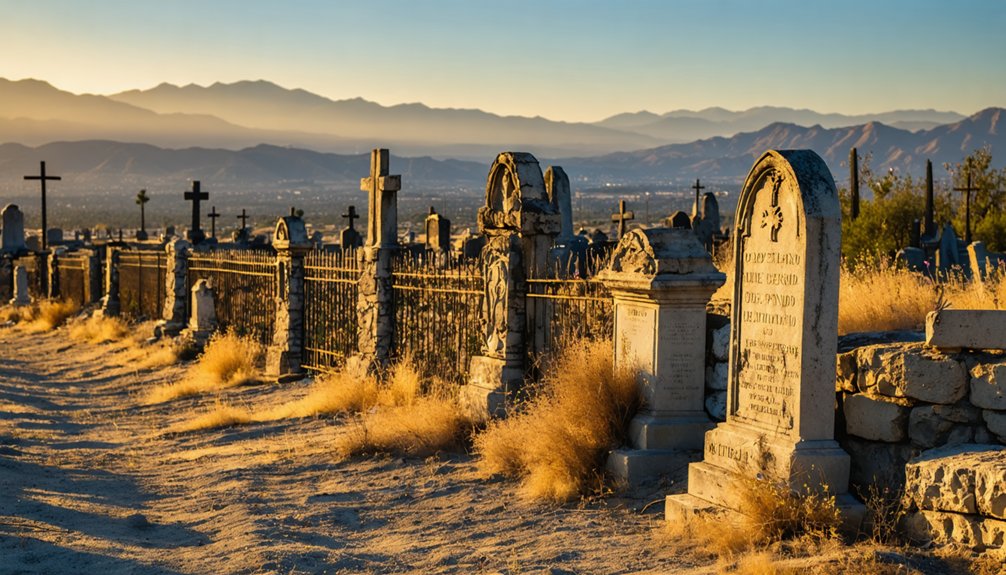
Here’s what you’ll actually encounter on-site:
- A hilltop burial ground holding an estimated 2,000 early settlers
- Restored grave markers documenting New Mexican frontier families
- Sweeping views of the Santa Ana River valley below
You’re standing where California’s inland history quietly roots itself. The cemetery doesn’t just memorialize the dead — it indicts the forces, natural and historical, that silenced an entire community.
How to Add Agua Mansa to Your Inland Empire Road Trip
Once you’ve stood at the cemetery’s edge and taken in the Santa Ana River valley below, you’ll want to think about how Agua Mansa fits into a broader sweep of Inland Empire history. Colton sits nearby, offering architectural remains and civic history that extend your understanding of the region’s frontier evolution.
Pair the cemetery with stops that illuminate New Mexican cultural traditions carried westward by the same colonists who built Agua Mansa’s vineyards and orchards. The Inland Empire rewards travelers who connect sites deliberately rather than casually.
Map your route to move chronologically through settlement, growth, and disaster. Agua Mansa works best as an anchor stop, not an afterthought. Its compressed history of frontier ambition and flood-driven loss sets a standard against which every subsequent stop sharpens meaning.
Nearby California History Sites Worth Pairing With Agua Mansa
Once you’ve walked the cemetery grounds at Agua Mansa, you’ll find that the surrounding Inland Empire rewards curiosity with layered historical depth. The Colton Historic District sits just minutes away, offering architectural and civic remnants that trace the region’s shift from frontier settlement to railroad-era town.
From there, you can push outward to Rancho Jurupa Heritage Sites, where the land grant history that originally seeded Agua Mansa’s founding comes into sharper, more tangible focus.
Colton Historic District
- The Colton City Hall, one of the region’s earliest civic structures, reflecting late 19th-century governmental ambitions.
- Historic rail infrastructure that positioned Colton as a critical Southern California transportation junction.
- Vernacular commercial buildings that reveal how frontier economies evolved into permanent community institutions.
Together, these landmarks contextualize what Agua Mansa’s settlers were building toward before the 1862 flood erased their progress.
Colton’s surviving fabric fills in that story with tangible, walkable evidence you won’t find at the cemetery alone.
Rancho Jurupa Heritage Sites
Rancho Jurupa sits at the genealogical root of Agua Mansa‘s founding, making it an essential companion stop for anyone tracing the settlement’s origins. Juan Bandini’s 1845 land donation directly seeded the New Mexican colonists who built Agua Mansa, so visiting Jurupa-connected heritage sites gives you the political and territorial context the cemetery alone can’t provide.
You’ll encounter architectural styles that reflect California’s rancho period, where Spanish colonial design met frontier pragmatism in adobe walls and working courtyards.
The cultural traditions carried by those New Mexican settlers — agricultural knowledge, Catholic practice, communal land stewardship — took root first on Jurupa land before crossing the Santa Ana River.
Pairing both sites transforms a single cemetery visit into a coherent narrative about how California’s inland frontier was actually claimed and populated.
Frequently Asked Questions
Is the Agua Mansa Pioneer Cemetery Open to the Public Year-Round?
You’ll find the Agua Mansa Pioneer Cemetery open year-round, inviting you to explore its historical preservation firsthand. Wander among weathered stones, uncover local legends, and connect deeply with California’s earliest frontier settlers on your own terms.
Are There Any Guided Tours Available at the Agua Mansa Cemetery Site?
Don’t hold your breath for formal guided tours—they’re scarce. You’ll uncover historical ghost stories and cemetery preservation efforts largely through self-guided exploration, local historical societies, and San Bernardino County resources that actively document Agua Mansa’s layered past.
What Does “Agua Mansa” Literally Translate to in English?
“Agua Mansa” translates to “gentle water” or “calm waters” — a name you’ll find deeply ironic as you explore local history and cemetery preservation, uncovering how raging floodwaters ultimately silenced this once-thriving frontier settlement.
Is There an Admission Fee to Visit the Agua Mansa Pioneer Cemetery?
With roughly 2,000 pioneers buried there, you’ll enter freely—no admission fee exists. Historic preservation efforts keep this sanctuary of local folklore openly accessible, inviting you to investigate California’s raw, untamed frontier spirit without restriction.
Are Pets Allowed at the Agua Mansa Pioneer Cemetery During Visits?
The available knowledge doesn’t confirm pet safety policies or cemetery rules for Agua Mansa Pioneer Cemetery. You’ll want to contact San Bernardino County directly to uncover the specific regulations governing your visit.
References
- https://en.wikipedia.org/wiki/Agua_Mansa
- https://museum.sbcounty.gov/agua-mansa-pioneer-cemetery/
- https://podcasts.apple.com/cm/podcast/the-lost-town-of-ghosts/id1747412797?i=1000693412324
- https://www.vvdailypress.com/story/lifestyle/travel/2020/10/18/beyers-byways-agua-mansa-cemetery-al-capones-home/3697888001/
- https://la.curbed.com/2016/5/26/11724202/agua-mansa-california-ghost-town
- https://www.ghosttowns.com/states/ca/aguamansa.html
- https://www.facebook.com/groups/341112441523/posts/10162590879546524/
- https://www.youtube.com/watch?v=cErV8qG0plQ
- https://www.latimes.com/archives/la-xpm-2004-oct-29-me-cemetery29-story.html



