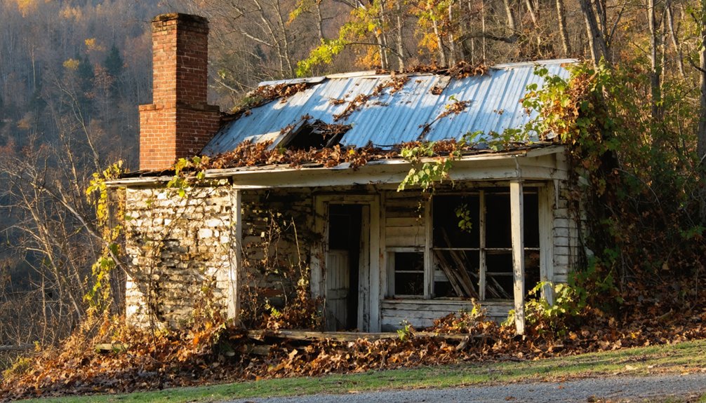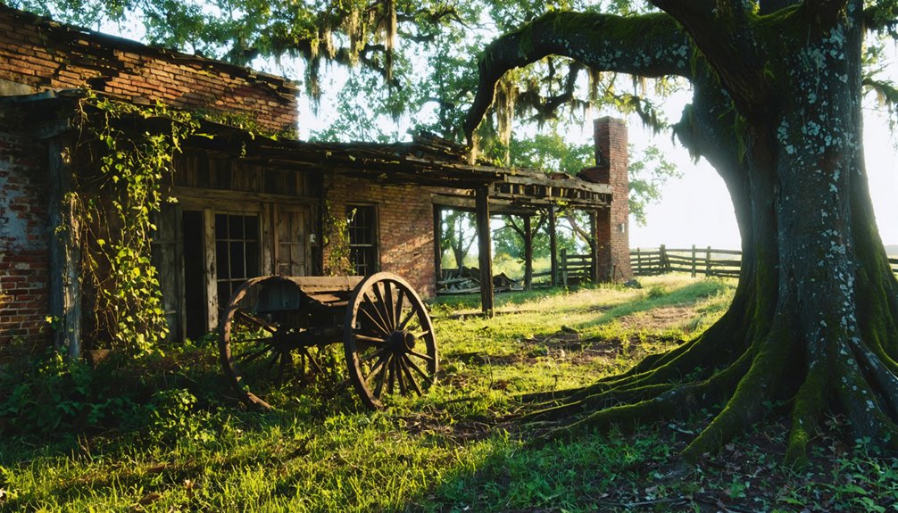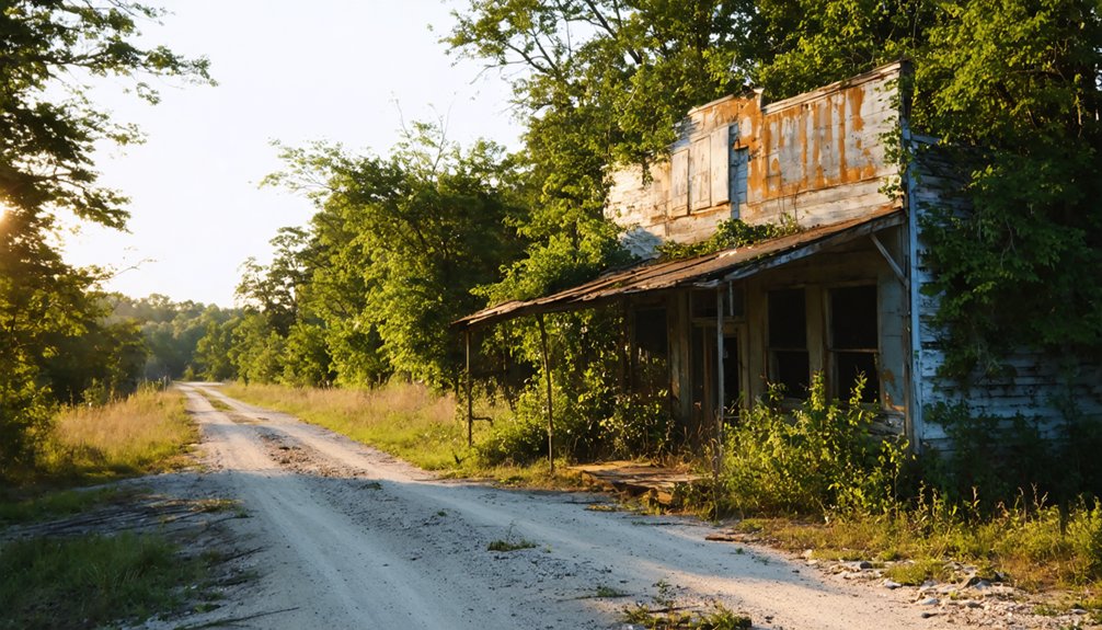
Planning a ghost town road trip to Anderson Flat, Arkansas starts in Harrison, heading south on Highway 235 through rugged Ozark terrain toward the Marion-Searcy County line. You’ll spot the white cemetery sign first, then the old schoolhouse just to the right. Scattered artifacts and crumbling rock walls wait further down the road, partially swallowed by nature. It’s remote, raw, and unlike anything you’d expect — and there’s far more to uncover than first meets the eye.
Key Takeaways
- Anderson Flat is located in southwestern Marion County, approximately 30 miles south of Harrison and 15 miles from the Buffalo River.
- Key landmarks include a white cemetery sign on Highway 235 south, an old schoolhouse, and partially hidden rock walls nearby.
- Visit during summer or early spring for optimal weather, dry roads, and better visibility for photography and artifact exploration.
- Pack sturdy boots, a camera, water, gloves, a notebook, and detailed offline maps due to unreliable cell service.
- Nearby ghost towns Bruno, Zinc, and Rush can extend your route through North Arkansas’s forgotten mining communities.
What Is Anderson Flat, Arkansas?
Tucked into the southwestern corner of Marion County near the Searcy County line, Anderson Flat is one of Arkansas’s forgotten ghost towns, sitting roughly 30 miles south of Harrison and just 15 miles from the Buffalo River. Nestled between Clabber Creek, Rush Creek, and the Buffalo River, this abandoned community once thrived through agriculture and trade before fading into history.
Originally called Verona, Arkansas, the town even served as a stop on the Butterfield Overland Mail route. Today, no residents remain. You’ll find an old schoolhouse, a cemetery, and crumbling rock walls slowly surrendering to nature.
Historical artifacts still scatter the landscape, though you’ll need a sharp eye to spot them. Preservation efforts remain minimal, leaving Anderson Flat raw, quiet, and completely yours to explore.
The Rise and Fall of Anderson Flat
Anderson Flat’s story begins with real promise — it thrived as a stop on the Butterfield Overland Mail route and built its early economy on agriculture and trade in the 1800s.
As the railroad industry declined and mining operations shut down, the town lost its economic footing and residents began to leave.
The dust bowl conditions of the early 1900s and 1930s delivered the final blows, destroying the community twice and leaving behind only ruins for you to explore today.
Anderson Flat’s Promising Beginnings
Before it became a ghost town, Anderson Flat had a promising start that few would’ve predicted would fade so quickly. Originally called Verona, Arkansas, this settlement thrived through agriculture and trade in the 1800s, even serving as a Butterfield Overland Mail route stop.
Key highlights of Anderson Flat’s early success include:
- Agricultural prosperity that drew settlers seeking fertile land and trading opportunities
- Mail route significance that connected the community to broader regional networks
- Historical artifacts scattered across the landscape that still hint at its once-vibrant past
You can almost feel the energy this town once carried. Today, natural reclamation has quietly swallowed most of what settlers built, leaving only whispers of its former promise hidden beneath overgrowth and time.
Economic Decline And Abandonment
What flourished through agriculture and mail routes couldn’t survive the economic storms that followed. Anderson Flat‘s economic impact relied heavily on mining and railroad industries — once those collapsed, the town had no foundation left to stand on.
The dust bowl struck twice, first in the early 1900s, then again in the 1930s, stripping away whatever resilience remained. Mining operations ceased, railroads bypassed smaller communities, and residents had no reason to stay.
Even a nearby Native Indian settlement couldn’t withstand the same brutal conditions.
Anderson Flat’s historical significance lies partly in this painful truth — thriving communities can vanish when economic lifelines disappear. You’re not just visiting ruins when you explore this place; you’re witnessing what happens when progress leaves a town behind.
What’s Left to See at Anderson Flat Today?
Though nature has reclaimed most of Anderson Flat, you’ll still find a few remnants worth seeking out. Historical artifacts and Native sites dot the landscape, rewarding those who look closely. The area whispers stories of a community that once thrived before time erased it.
Nature has reclaimed Anderson Flat, but remnants remain — quietly rewarding those curious enough to look closely.
Key landmarks still standing include:
- The old schoolhouse, located to the right of the Anderson Flat cemetery sign on Highway 235 south
- A weathered cemetery, marked by a white sign and representing the town’s most visible surviving structure
- Old rock walls, visible a few miles down the road, partially hidden by decades of natural succession
Bring your curiosity and patience — these remnants don’t announce themselves loudly, but they deliver an authentic, unfiltered connection to Arkansas’s forgotten past.
How to Get to Anderson Flat From Harrison
Starting from Harrison, you’ll head south on Highway 235 for about 30 miles through the rolling Ozark landscape.
Keep your eyes open as you approach the southwestern corner of Marion County near the Searcy County line.
You’ll know you’ve arrived when you spot the white Anderson Flat cemetery sign on Highway 235 south, with the old school house sitting just to the right.
Starting Point In Harrison
Harrison, Arkansas serves as your ideal launching pad for the journey to Anderson Flat, sitting just 30 miles north of this forgotten ghost town. Harrison gives you everything you need before venturing into the rugged Ozark backcountry where historical preservation efforts have kept Anderson Flat’s memory alive through local legends and scattered remnants.
Before leaving Harrison, make sure you’ve handled these essentials:
- Fuel up completely — gas stations disappear quickly once you head south on Highway 235
- Download offline maps — cell service becomes unreliable in Marion County’s remote corridors
- Pack water and snacks — no services exist near Anderson Flat
The drive south takes you through stunning Ozark terrain, gradually shifting from civilization into the quiet wilderness that swallowed Anderson Flat whole decades ago.
Route South On Highway
Once you’ve loaded up in Harrison, head south on Highway 235 — the main artery that’ll carry you directly toward Anderson Flat some 30 miles down the road. The drive itself sets the tone, pulling you through rugged North Arkansas terrain where local legends quietly echo across the hollows and ridgelines.
Keep your eyes open as the landscape shifts — you’re entering Marion County’s forgotten corridor, where communities like Bruno and Zinc once thrived alongside Anderson Flat. Watch for a white cemetery sign on the right side of Highway 235 south; that’s your landmark.
Just beside it stands the old school house, one of the few surviving examples of historic architecture still marking this abandoned settlement. From Harrison, the whole run takes under an hour.
Final Landmark Indicators
As you close in on Anderson Flat, the white cemetery sign on Highway 235 south is your clearest signal that you’ve arrived. Just to the right of that marker sits the old schoolhouse, a structure carrying both historical significance and cultural impact from generations past.
These final landmarks aren’t just navigation points — they’re doorways into a forgotten world.
Watch for these key indicators:
- White cemetery sign on Highway 235 south marks the core location
- Old schoolhouse sits immediately right of the cemetery sign
- Rock walls visible a few miles down the road signal deeper exploration ahead
Don’t rush past these markers. Each one represents a piece of Anderson Flat’s story waiting for you to uncover it.
The Best Time to Visit Anderson Flat
Summer and early spring are your best bets for exploring Anderson Flat, when the roads are dry and accessible by standard 2WD vehicles. Winter brings snow that makes navigation treacherous, while summer heat, though intense, keeps the terrain manageable.
Visiting in early spring gives you softer light for photographing historical architecture like the old schoolhouse and rock walls before heavy vegetation obscures them.
You’ll also spot Native American artifacts more easily when ground cover remains sparse.
What to Bring When Visiting Anderson Flat

Packing the right gear makes the difference between a rewarding exploration and a frustrating one. Anderson Flat rewards prepared visitors who come ready to uncover historical artifacts and chase local legends through overgrown ruins and crumbling rock walls.
The right gear transforms Anderson Flat from a frustrating scramble into a rewarding dive through forgotten history.
- Sturdy boots – uneven terrain and rocky paths demand solid ankle support
- Camera with macro lens – close inspection reveals artifacts hiding in plain sight
- Water and snacks – no services exist nearby, so you’re completely self-sufficient
You’ll also want a detailed map since cell service gets unreliable in this remote Marion County corridor.
Bring gloves for moving debris safely and a notebook to document what you discover. The more equipped you are, the deeper into Anderson Flat’s forgotten history you can venture.
Ghost Towns Near Anderson Flat Worth Adding to Your Route
Once you’ve explored Anderson Flat’s crumbling school house and cemetery, Marion County gives you no shortage of ghost towns to extend your route. Bruno and Zinc sit nearby, both carrying their own local legends and traces of Arkansas’s mining past. Each stop rewards curious travelers with historical artifacts hiding beneath overgrown brush and collapsed structures.
Rush deserves a dedicated detour — it’s Arkansas’s best-preserved ghost town and sits within the same county. You’ll find far more intact remains there, making it easier to piece together what life once looked like.
Together, these towns form a compelling loop through North Arkansas’s forgotten communities. Plan your drive along Highway 235 and the surrounding back roads, and you’ll uncover a region history quietly abandoned but never fully erased.
How Anderson Flat Compares to Rush, Arkansas
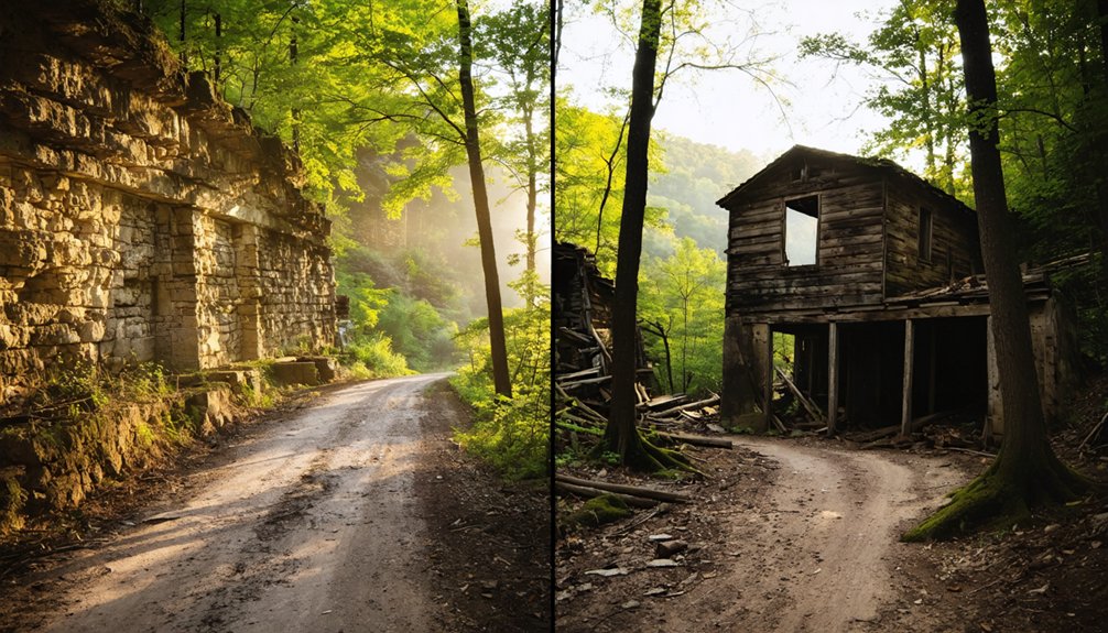
Both ghost towns sit inside Marion County, but they offer drastically different experiences once you arrive. Rush stands as Arkansas’s best-preserved ghost town, where historical preservation gives you structured ruins and visible mining infrastructure.
Anderson Flat delivers something rawer — nature has reclaimed it almost entirely, leaving only a cemetery and crumbling rock walls.
Here’s how they compare:
- Preservation level: Rush offers more intact structures; Anderson Flat demands sharper eyes and curiosity.
- Atmosphere: Rush feels documented; Anderson Flat carries quieter, more personal local legends lost to time.
- Access: Both are reachable via 2WD roads, making either stop practical on your route.
If you crave discovery over documentation, Anderson Flat rewards the adventurous traveler who wants history unfiltered.
How to Explore Anderson Flat Without Getting Into Trouble
Exploring Anderson Flat responsibly starts before you ever leave your driveway. Research the area thoroughly, including any local legends tied to the abandoned structures and surrounding land. You’ll want to respect private property boundaries, since some ruins sit on privately owned land.
Stick to established paths and don’t disturb artifacts, rock walls, or cemetery markers. Arkansas law protects cemetery grounds, so treat them accordingly. Urban legends about these forgotten towns circulate freely online, but don’t let curiosity push you into reckless decisions.
Bring water, sturdy boots, and a charged phone. The roads rate an accessible 2WD difficulty, but conditions shift seasonally.
Tell someone your plans before heading out.
Freedom means exploring on your own terms, but smart preparation keeps that freedom intact.
Frequently Asked Questions
Was Anderson Flat Ever Featured in Any Books or Documentaries?
No records confirm Anderson Flat’s featured literary references in books or documentaries. Yet, with only a cemetery and schoolhouse remaining among its historical landmarks, you’ll find it’s a compelling story waiting to be told.
Are There Any Guided Ghost Town Tours Available in Marion County?
No official guided tours exist for Marion County’s ghost towns, but you’ll uncover rich ghost town history exploring independently. Wander freely through Anderson Flat’s haunting remains, where every crumbling wall tells its own enthralling story.
Can You Camp Overnight Near the Anderson Flat Cemetery Legally?
You’ll need to check local camping regulations before setting up camp near Anderson Flat’s cemetery. Cemetery access is restricted, so explore nearby Buffalo River’s public lands for legal overnight adventures that’ll satisfy your freedom-seeking spirit!
Has Any Archaeological Research Ever Been Conducted at Anderson Flat?
No documented archaeological research exists for Anderson Flat, but you’ll find ancient artifacts scattered nearby. If you’re exploring, you can apply basic archaeological methods—surveying the old schoolhouse ruins and cemetery—uncovering this forgotten community’s fascinating, layered history yourself.
Are Metal Detectors Allowed When Visiting Anderson Flat’s Remaining Ruins?
Over 10,000 artifacts vanish illegally yearly from historic sites. You’ll need to check Arkansas’s metal detecting regulations and relic hunting guidelines before exploring Anderson Flat’s ruins, as laws protecting abandoned historic sites vary and can restrict your freedom to detect.
References
- https://www.ghosttowns.com/states/ar/andersonflat.html
- https://www.youtube.com/watch?v=0WkmyJ9-phg
- https://www.thetravel.com/ghost-towns-in-arkansas/
- https://arkansasfrontier.com/ghost-towns-in-arkansas/303766/
- https://encyclopediaofarkansas.net/entries/anderson-flat-marion-county-14110/
- https://www.onlyinyourstate.com/experiences/arkansas/abandoned-ar