Planning a ghost town road trip to Attalia, Washington means chasing a town that’s no longer on dry land. Attalia was swallowed by Lake Wallula when McNary Dam closed in 1953, leaving nothing visible above the waterline. You’ll start your drive from Walla Walla, head roughly 30 to 40 miles east, and use Burbank as your closest landmark. Scenic Highway 14 hugs the Columbia River and connects nearby ghost towns worth exploring. There’s far more to this submerged story than you’d expect.
Key Takeaways
- Attalia’s original townsite is permanently submerged beneath Lake Wallula, flooded after McNary Dam’s completion in 1953, leaving no visible ruins above water.
- Burbank, Washington, located 8 miles upriver, serves as the closest modern access point for viewing the submerged ghost town site.
- Highway 14 provides scenic overlooks above the submerged area, with boat launches and shoreline pull-offs offering the closest site access.
- Departing from Walla Walla, the drive to Attalia’s ghost town site covers approximately 30 to 40 miles heading east.
- Nearby ghost towns like Liberty, Govan, and Alderdale can be combined into a broader regional road trip itinerary.
What Was Attalia, Washington?
Once a bustling railroad stop on the east shore of the Columbia River, Attalia was a small Washington town in Walla Walla County that’s now completely submerged beneath Lake Wallula.
Attalia history stretches from its post office establishment in 1906 through its years as a stop on both the Northern Pacific Railway and the Oregon Railroad and Navigation Company. Its name, pronounced /æˈtæljə/, traces back to a place in Italy by tradition.
Attalia’s significance lies in its dramatic end: when McNary Dam was completed in 1953, rising waters swallowed the entire townsite whole. The post office had closed just a year earlier in 1952.
Today, you can’t walk its streets or touch its ruins — they’re locked beneath a reservoir, making Attalia one of Washington’s most hauntingly unreachable ghost towns.
Why Is Attalia Now Underwater?
If you’re wondering why you can’t just pull over and walk through Attalia’s old streets, blame McNary Dam.
When the Army Corps of Engineers completed the dam in 1953, the backed-up Columbia River formed Lake Wallula, swallowing the entire townsite beneath its waters.
You’re fundamentally looking at a ghost town that’s doubly lost — first abandoned, then drowned.
McNary Dam’s Flooding Impact
The McNary Dam didn’t just reshape the Columbia River — it erased entire communities from the map. Completed in 1953, its dam construction swallowed Attalia whole, transforming a living railroad town into a submerged memory beneath Lake Wallula.
Understanding its historical significance helps you appreciate what’s truly lost beneath those waters.
Here’s what the flooding wiped out forever:
- Attalia’s townsite — buildings, streets, and rail infrastructure completely submerged
- Active rail connections — Northern Pacific Railway and Oregon Railroad stops permanently lost
- A functioning post office — operational from 1906 until forced closure in 1952
- Community identity — residents displaced, decades of settlement erased overnight
You can’t walk these streets today, but knowing they exist beneath the reservoir makes standing at Lake Wallula’s edge genuinely haunting.
Lake Wallula Submerged Attalia
Attalia didn’t vanish overnight by accident — it was deliberately sacrificed for the McNary Dam project, and Lake Wallula is the reason you’ll never walk its streets.
When McNary Dam’s completion in 1953 raised the Columbia River’s waters, the reservoir swallowed the townsite entirely. That’s Attalia history reduced to submerged ruins sitting silently beneath the surface.
You can drive to the shoreline near Burbank, roughly 8 miles upriver, and scan the water knowing an entire community rests below.
No foundations peek through, no rooftops break the surface — just quiet, unrelenting water. The post office had already closed in 1952, almost as if the town sensed what was coming.
Lake Wallula erased Attalia completely, making it one of Washington’s most inaccessible ghost towns.
How Do You Reach the Attalia Site Today?
Reaching the original Attalia townsite today isn’t straightforward — McNary Dam‘s completion in 1953 swallowed the entire settlement beneath Lake Wallula, leaving nothing visible above the waterline.
Still, you can connect with Attalia history and Attalia heritage by staging your visit thoughtfully:
Still, you can connect with Attalia’s submerged past by planning your visit with care and intention.
- Drive to Burbank, Washington — positioned 8 miles upriver, it’s your closest modern landmark.
- Follow Highway 14 — this scenic Columbia River corridor puts you directly above the submerged townsite.
- Survey Lake Wallula from shore — stand where the river once bustled with Northern Pacific Railway traffic.
- Visit the Tri-Cities — Pasco, Kennewick, and Richland offer lodging, supplies, and regional historical context before exploring.
You won’t see ruins, but the landscape itself tells the story powerfully.
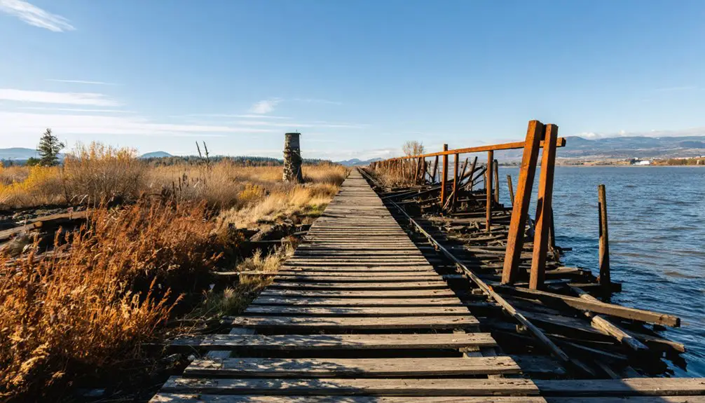
What Can You See Near the Submerged Townsite?
From the shores of Lake Wallula, you’ll catch sweeping views of the reservoir that now covers Attalia’s former streets and rail stops, giving the site an eerie, reflective stillness.
You can access these overlooks most easily from Burbank, just 8 miles upriver, where boat launches and shoreline pull-offs put you closest to the submerged townsite.
Standing at the water’s edge, you’re looking down at history — a post office, a railway stop, and an entire community sealed beneath the surface since McNary Dam reshaped the Columbia in 1953.
Lake Wallula Overlook Views
Though Attalia itself lies beneath the surface of Lake Wallula, the reservoir’s eastern shoreline near Burbank offers striking views that connect you to the townsite’s general location.
Standing at an overlook, you’ll absorb both the lake views and the historical significance of what’s hidden below. Here’s what you can spot from above:
- The broad reservoir expanse where Attalia’s streets and rail stops once existed
- Columbia River bluffs framing the drowned townsite’s approximate boundaries
- McNary Dam structure downstream, the direct cause of Attalia’s submersion in 1953
- Distant Burbank shoreline marking the eight-mile upstream reference point locals used
You’re fundamentally reading a landscape that swallowed an entire community.
That quiet water holds a railroad town’s entire story beneath it.
Nearby Burbank Access Points
Several access points near Burbank put you as close as you’ll realistically get to Attalia’s submerged footprint.
Head roughly eight miles downriver from Burbank landmarks like the local boat launches along the Columbia River access points, and you’re standing directly above where the old townsite once operated.
Lake Wallula now covers everything, but the open water stretching before you tells its own quiet story. You won’t find ruins or markers here — just the reservoir’s surface concealing what the 1953 McNary Dam completion swallowed permanently.
Bring binoculars and scan the shoreline during low-water periods, when subtle terrain shifts occasionally hint at the former landscape beneath.
Freedom-seekers who don’t need a tourist-ready destination will find something genuinely rare: a ghost town you can only imagine.
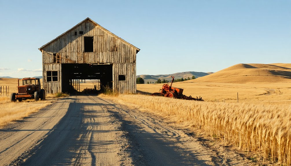
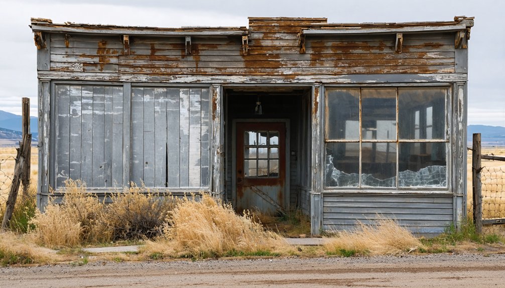
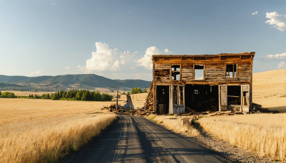
Ghost Towns Near Attalia Worth Adding to Your Drive
Since Attalia itself lies beneath Lake Wallula’s surface, you’ll want to round out your road trip with ghost towns you can actually explore.
The region’s ghost town history runs deep, shaped by railroads significance, mining booms, and sudden abandonment.
The region’s ghost town history runs deep—shaped by railroads, mining booms, and sudden, silent abandonment.
These four stops deliver real ruins and raw stories:
- Ainsworth – Franklin County’s railroad hub, now absorbed into Pasco, reflecting Columbia River rail expansion.
- Alderdale – Klickitat County’s stripped-bare townsite, hauntingly barren since 1962.
- Govan – Lincoln County’s preserved schoolhouse and railway remnants off Highway 2.
- Liberty – Washington’s oldest mining town, listed on the National Register, featuring walkable preserved buildings along Swauk Creek.
Each stop adds authentic depth to your Columbia River corridor adventure.
When’s the Best Time to Visit the Attalia Area?
Once you’ve mapped out your ghost town stops, timing your visit can make or break the experience. The best seasons for exploring the Attalia area are spring and fall, when temperatures along the Columbia River stay comfortable for outdoor exploration.
Summer brings intense heat to eastern Washington, often pushing past 100°F, which makes long drives and lakeside stops genuinely brutal. Winter weather considerations include occasional snow and ice on rural highways, limiting access to remote sites like Govan or Liberty.
Spring offers wildflowers along the riverbanks and cooler driving conditions, while fall delivers crisp air and dramatic landscape colors. You’ll also dodge peak tourist crowds during both shoulder seasons.
Plan your departure early in the day regardless of season—eastern Washington’s open roads reward the adventurous but punish the unprepared.
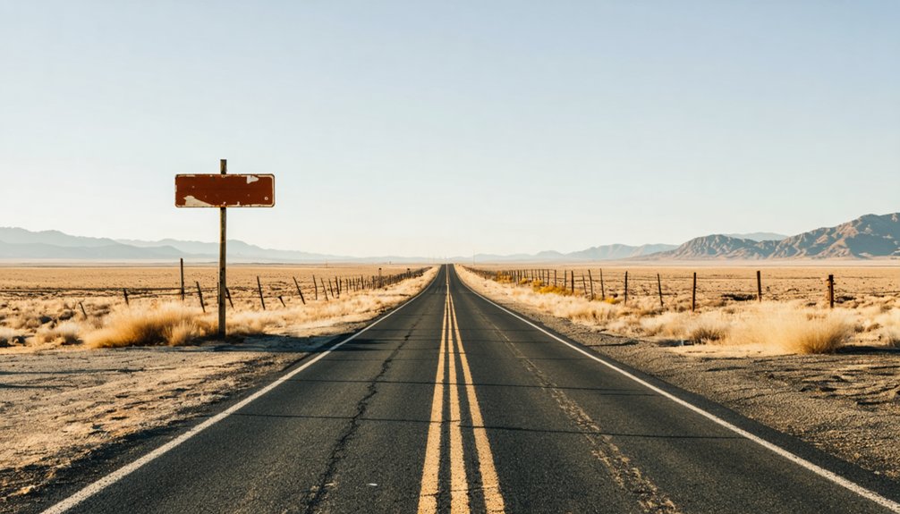
How Do You Plan an Attalia Road Trip From Walla Walla?
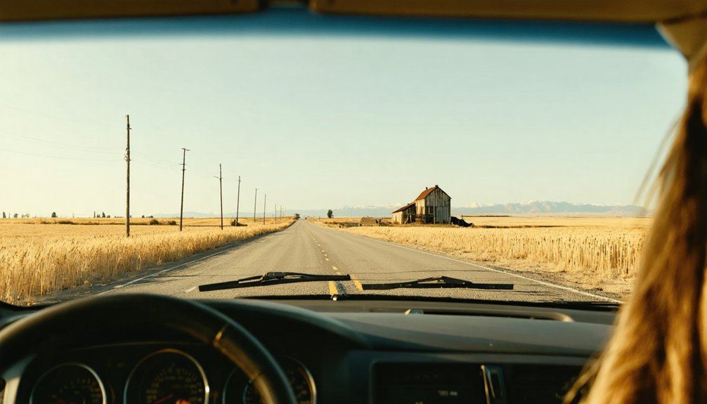
Planning a road trip from Walla Walla to Attalia’s ghost town site takes roughly 30 to 40 miles of eastward driving toward the Columbia River, where Lake Wallula now covers what the town once was.
These road trip tips will help you make the most of the journey’s historical significance:
- Stage from Walla Walla – Head east toward Burbank, your closest modern landmark, sitting 8 miles upriver from Attalia’s submerged location.
- Follow Highway 14 – This scenic Columbia River corridor connects ghost town sites efficiently.
- Include the Tri-Cities – Pasco, Kennewick, and Richland offer lodging, fuel, and cultural stops.
- Research before arriving – No visible ruins exist above water, so historical context enriches the experience considerably.
Frequently Asked Questions
How Is the Name Attalia Correctly Pronounced by Locals?
You’ll pronounce Attalia as /æˈtæljə/ — “ah-TAL-ya.” Locals embrace this name’s historical significance, and you’ll hear it whispered through local legends tied to this hauntingly submerged ghost town beneath Lake Wallula’s mysterious waters.
Which Railway Lines Once Stopped at Attalia in 1909?
Hitting the rails back in 1909, you’ll find both the Northern Pacific Railway and Oregon Railroad and Navigation Company stopped at Attalia, weaving rich railway history and local anecdotes into this fascinating, now-submerged ghost town’s legacy.
Was Attalia Named After a Specific Location in Italy?
You’ll find that Attalia carries deep Italian Heritage, as tradition holds it was named after a place in Italy. Its Historical Significance shines through this cultural connection, giving this submerged ghost town a uniquely evocative, internationally-inspired identity.
How Does Attalia Compare to Other Columbia River Submerged Towns?
Attalia’s ghost town history mirrors Almota’s fate — both Columbia River towns you’d find submerged beneath reservoirs. These river town comparisons reveal how dam construction silenced entire communities, erasing their streets, stories, and spirits forever underwater.
What GNIS Classification Does the Extinct Town Attalia Hold?
Ever wonder what’s beneath Lake Wallula? GNIS classifies Attalia as a populated place, capturing its Attalia significance in ghost town history — you’ll find this extinct town’s legacy lives on, even underwater!
References
- https://en.wikipedia.org/wiki/Attalia
- https://en.wikipedia.org/wiki/List_of_ghost_towns_in_Washington
- https://stateofwatourism.com/ghost-towns-of-washington-state/
- https://www.atlasobscura.com/things-to-do/washington/ghost-towns
- https://www.youtube.com/watch?v=gx9r_aKZZ2s
- https://washingtonstate.fandom.com/wiki/Attalia
- https://www.wta.org/go-outside/seasonal-hikes/fall-destinations/hidden-history-ghost-town-hikes
- https://okanogancountry.com/ghost-towns
- https://www.famousfix.com/list/ghost-towns-in-walla-walla-county-washington
- https://www.cascadeloop.com/ghost-towns-and-haunted-places-in-the-washington-cascades