Planning a ghost town road trip to Benita, California means heading 31 miles southwest of Delano into Kern County’s rural heartland. This tiny settlement ran a post office for just one year before fading into history by 1889. Today, no structures remain, but the site’s historical significance makes it a fascinating destination. Pair it with nearby ghost towns like Randsburg and Garlock for a full experience. There’s much more to uncover about making this journey unforgettable.
Key Takeaways
- Benita, California, is a ghost town in Kern County, located 31 miles southwest of Delano, with no standing structures remaining today.
- Drive southwest from Delano via Highway 46, using offline navigation apps or printed county maps, as GPS signals can be unreliable.
- Visit between fall and early spring for manageable temperatures, with fall offering mild weather and early spring bringing scenic wildflowers.
- Pack water, sturdy footwear, sun protection, and food, and always inform someone of your plans before exploring remote areas.
- Nearby ghost towns like Randsburg and Garlock offer additional exploration opportunities, enriching your understanding of Kern County’s boom-and-bust history.
What Was Benita, California’s Ghost Town?
Few places capture the fleeting ambitions of California’s frontier era quite like Benita, a small settlement that once stood in Kern County’s Central Valley roughly 31 miles southwest of Delano.
Benita history traces back to the late 1800s, when waves of settlers chased opportunities in mining, farming, and railroad construction throughout Southern California.
Waves of settlers once flooded Kern County chasing dreams of mining, farming, and railroad riches in the late 1800s.
The community briefly operated a post office from 1888 to 1889, suggesting it never gained significant traction.
When economic prospects dried up and infrastructure bypassed the area, residents moved toward larger cities offering better opportunities.
Today, ghost town exploration reveals no standing structures — Benita exists only in historical records.
If you crave wide-open landscapes and forgotten stories, this vanished settlement offers a compelling glimpse into California’s restless, ambitious past.
How to Get to Benita From Delano
If you’re heading to the ghost town of Benita from Delano, you’ll drive approximately 31 miles southwest through Kern County’s sprawling Central Valley landscape.
You’ll want to load the coordinates into your GPS before leaving Delano, since the site exists primarily in historical records rather than on modern road signs.
Keep in mind that the settlement has no standing structures to guide you, so cross-referencing historical maps with current satellite imagery will sharpen your navigation considerably.
Driving Route From Delano
Reaching Benita from Delano covers roughly 31 miles southwest through Kern County’s flat, agricultural heartland—a drive that takes you through some of California’s most historically rich farming territory.
You’ll navigate open roads flanked by farmlands that once fueled entire communities, connecting you directly to Benita’s history and its ghost town significance.
Head southwest from Delano on Highway 46, then follow local county roads deeper into the rural landscape. The route itself tells a story—wide-open spaces gradually reveal just how isolated settlements like Benita truly were.
That isolation ultimately contributed to its abandonment. Keep your navigation app handy since road signage becomes sparse the further southwest you travel.
The drive takes approximately 45 minutes, giving you plenty of time to absorb the region’s dramatic, understated beauty.
Maneuvering to Benita requires some preparation, since GPS systems often struggle with the sparse road network southwest of Delano.
Printed county maps and offline navigation apps serve you better when chasing ghost town legends through Kern County’s rural corridors. Historical anecdotes from local archives can also pinpoint landmarks that modern maps ignore.
Pack these essentials before departing:
- Download offline maps covering the 31-mile stretch southwest of Delano
- Carry printed Kern County road maps as backup navigation
- Note rural highway markers rather than relying solely on street names
- Fuel up completely in Delano before heading out
- Check road conditions seasonally, as unpaved sections become impassable after heavy rain
You’ll navigate confidently once you combine modern tools with old-fashioned preparation.
What Remains at the Benita Ghost Town Site Today
Silence is about all you’ll find at the site of Benita today. The settlement that once buzzed with frontier ambition has completely vanished from the landscape, leaving no visible structures, markers, or ruins behind.
Your remnants exploration here means trading physical discoveries for historical significance — this place exists primarily in documented records rather than standing walls.
What you’re really experiencing is the raw, open land of Kern County’s Central Valley, stretching quietly around you. The post office that operated briefly from 1888 to 1889 left no trace.
The settlers who chased opportunities here simply moved on, and the earth reclaimed everything they built. Standing at this site, you’re connecting with California’s forgotten chapters — a powerful, sobering reminder of how quickly ambition can dissolve into dust.
Best Time of Year to Visit Benita
Once you’ve absorbed that eerie stillness at Benita’s vanished site, timing your visit right makes the experience far more rewarding.
Kern County’s seasonal weather shapes your entire road trip, so plan accordingly. The best travel time is fall through early spring, when temperatures stay manageable and the Central Valley’s landscape feels alive.
Consider these seasonal tips before hitting the road:
- Fall (October–November): Mild temperatures, golden landscapes, minimal crowds
- Winter (December–February): Cool but comfortable, clearest skies for photography
- Early Spring (March): Wildflowers emerge, making the barren site surprisingly beautiful
- Summer: Brutal heat regularly exceeds 100°F — avoid unless you’re prepared
- Weekdays: Less traffic on rural Kern County roads, giving you genuine solitude
Pack water regardless of season — this remote terrain offers zero amenities.
What to Pack for a Remote Kern County Ghost Town Visit
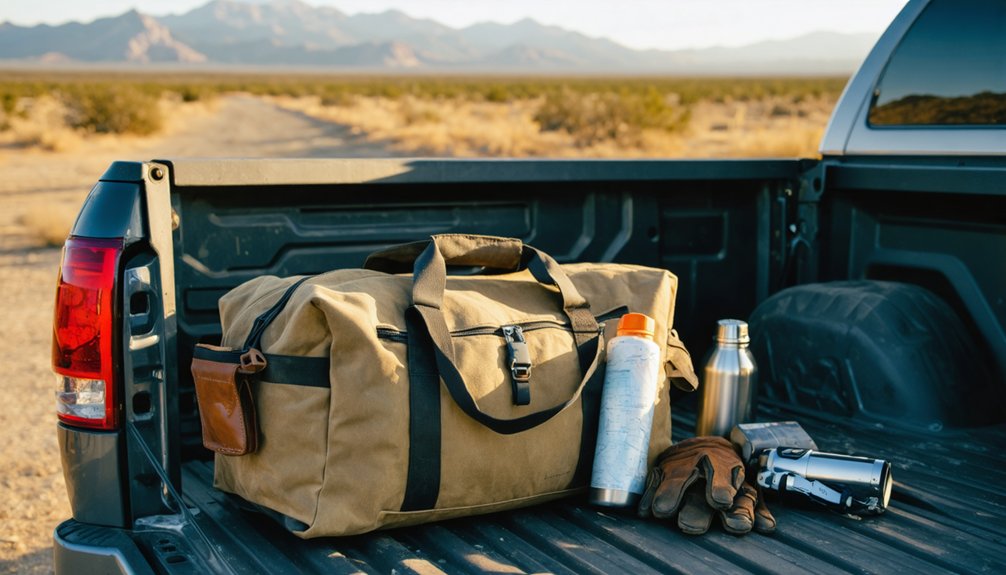
When you head out to explore Benita’s remote stretch of Kern County, you’ll want to pack smart since the area offers no modern conveniences or nearby supply stops.
Load your vehicle with essential gear including plenty of water, sun protection, sturdy boots, a first-aid kit, and enough food to sustain you through a full day of exploration.
You’ll also need reliable navigation tools like a GPS device and printed maps, since cell service is sparse and getting turned around in this isolated landscape can quickly become a serious safety issue.
Essential Gear and Supplies
Preparing for a remote Kern County ghost town visit like Benita means packing smart, because the Central Valley’s terrain and climate won’t forgive careless planning.
Whether you’re exploring history or capturing ghost town photography, having the right gear makes the difference between a memorable adventure and a miserable retreat.
Pack these essentials before hitting the road:
- Water – Carry at least one gallon per person daily
- Navigation tools – Download offline maps; cell service disappears fast
- Sun protection – Hat, sunscreen, and UV-blocking sunglasses are non-negotiable
- Sturdy footwear – Boots handle rough, uneven terrain far better than sneakers
- Camera with extra batteries – Natural light fades quickly, and you won’t want to miss a shot
Travel light, but never underprepared.
Getting your gear packed is only half the battle — knowing where you’re going and how to stay safe once you’re there is what keeps your Kern County ghost town trip from turning into an emergency.
Download offline navigation apps like Gaia GPS or OnX before you leave cell service behind, because signal disappears fast in rural Kern County. Carry a physical topographic map as backup — technology fails in extreme heat.
For safety precautions, pack a first aid kit, emergency whistle, and a charged satellite communicator like a Garmin inReach. Tell someone your exact route and expected return time.
Benita sits roughly 31 miles southwest of Delano across isolated terrain, so treating this trip seriously isn’t optional — it’s what separates a great adventure from a dangerous one.
How to Explore Benita and Kern County Ghost Towns Safely
Exploring ghost towns like Benita requires preparation, awareness, and respect for both the land and its history.
Rural exploration in Kern County means venturing into remote terrain where ghost town legends come alive, but safety can’t be an afterthought.
Before heading out, keep these essentials in mind:
- Carry enough water — desert heat in the Central Valley is unforgiving
- Download offline maps — cell service disappears fast in remote areas
- Wear sturdy boots — uneven ground and debris create real hazards
- Tell someone your plans — share your route and expected return time
- Respect private property — many ghost town sites sit on privately owned land
Stay alert, travel light, and embrace the freedom of discovering California’s forgotten past responsibly.
Nearby Ghost Towns Worth Adding to Your Benita Trip
While Benita itself leaves little to see on the ground, the surrounding stretch of Kern County holds several ghost towns that’ll reward your curiosity with far more visible history.
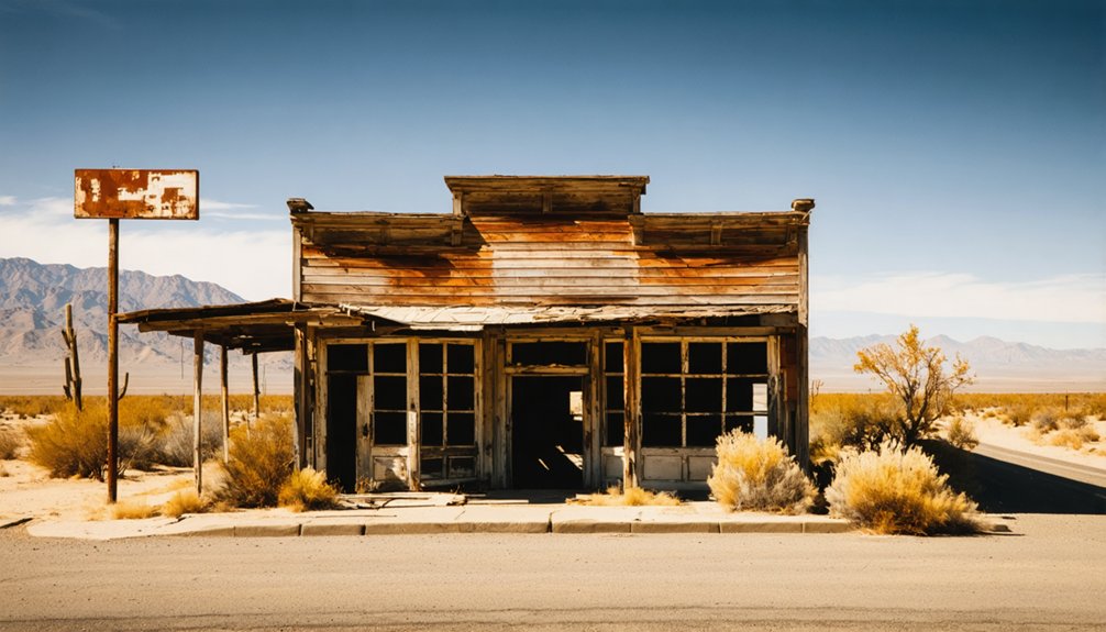
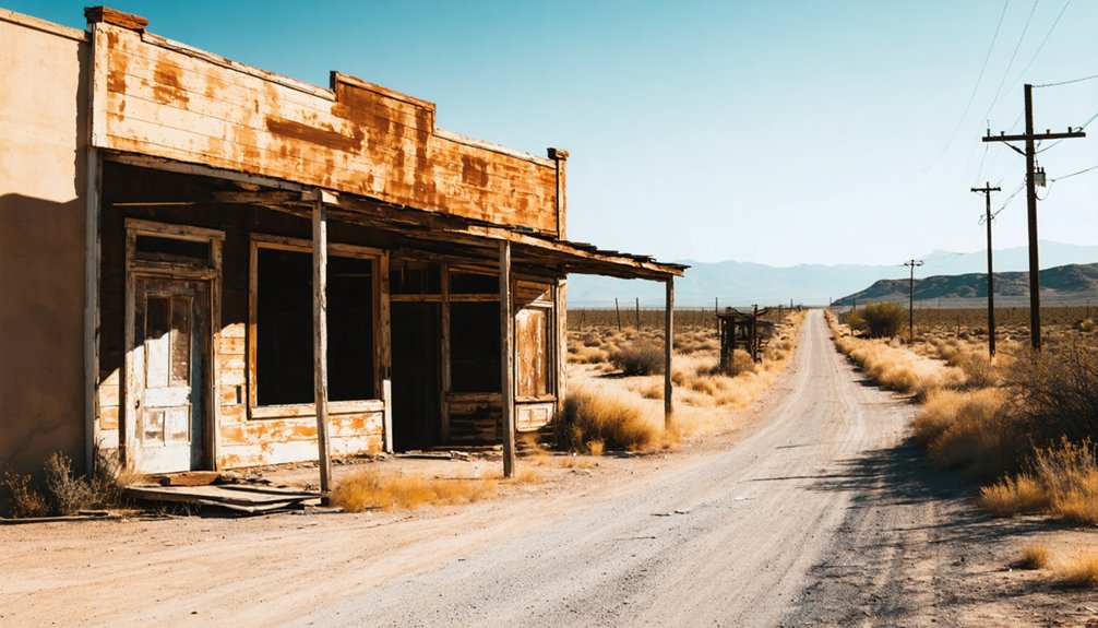
Mojave, Randsburg, and Garlock sit within reasonable driving distance, each offering genuine ghost town exploration with standing structures, mining remnants, and rich backstories.
Randsburg especially delivers on historical significance, preserving its gold rush character through weathered storefronts and working saloons frozen in time.
Randsburg preserves its gold rush soul through weathered storefronts and saloons that feel gloriously frozen in time.
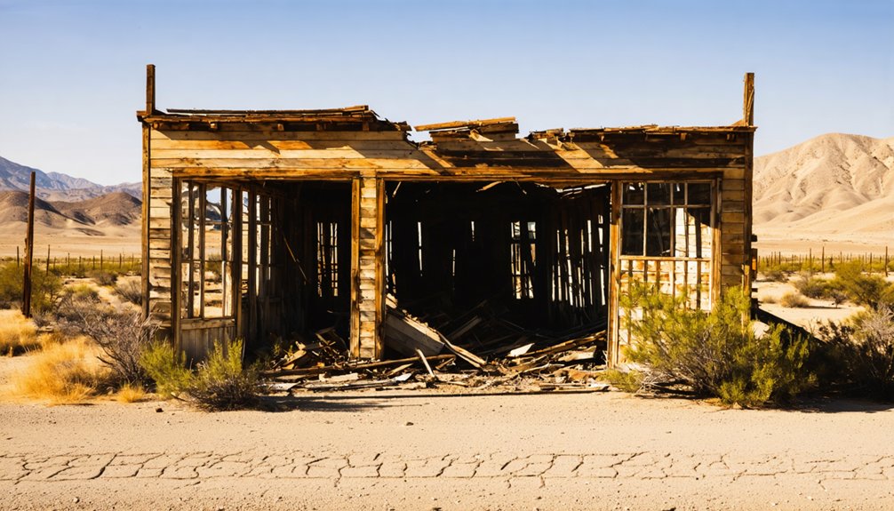
Garlock, once a thriving mill town, gives you crumbling foundations and desert silence that speak volumes.
Pairing these stops with your Benita visit turns a single-destination trip into a fuller picture of how Kern County’s boom-and-bust cycle shaped — and erased — entire communities across this rugged landscape.
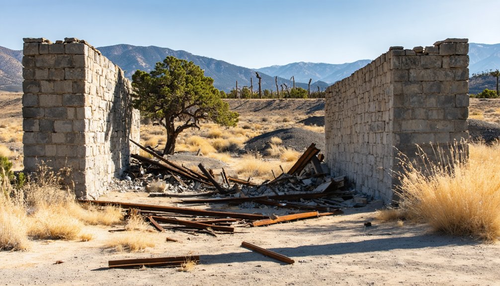
Historic Sites and Ghost Towns Within 30 Miles of Benita
The thirty-mile radius around Benita punches well above its weight for historical density, offering ghost towns, abandoned homesteads, and agricultural relics that flesh out what life once looked like across this stretch of Kern County.
Studying settlement patterns here reveals why some communities survived while others vanished. Historic preservation efforts have documented several nearby sites worth exploring:
- Abandoned ranch foundations scattered across Kern County’s western farmlands
- Deteriorating oil-era structures reflecting the region’s early petroleum history
- Forgotten irrigation channels that once sustained short-lived agricultural communities
- Railroad corridor remnants connecting collapsed supply towns
- Weathered cemetery plots marking where transient settlements briefly took root
Each stop deepens your understanding of frontier California, transforming your road trip into something genuinely meaningful rather than just another scenic drive.
Frequently Asked Questions
Did Benita, California Ever Have an Official Town Name Change?
There’s no record of Benita ever undergoing an official town name change. It retained its original identity throughout its brief historical significance, leaving you with a settlement whose town name remained unchanged until it quietly faded away.
How Long Did Benita’s Post Office Actually Remain Operational?
Benita’s post office timeline spanned just one year, operating from 1888 to 1889. You’d find that this brief postal service impact signals how quickly the settlement’s promise faded, sealing its ghost town destiny.
Was Benita’s Decline Caused Primarily by Railroad Route Decisions?
Like a perfect storm, multiple forces doomed Benita — railroad impact was just one piece. You’ll find economic shifts, resource depletion, and population migration all equally strangled this settlement’s survival, not railroads alone.
Are Any Historical Documents or Maps Showing Benita’s Original Layout Available?
You’ll find Benita’s original layout through dedicated archival research at Kern County historical archives. Explore historical preservation records, old maps, and land surveys — they’re your gateway to uncovering this vanished settlement’s fascinating forgotten footprint.
Did Any Notable Historical Figures Ever Settle or Pass Through Benita?
Coincidentally, no famous visitors or local legends are tied to Benita’s brief history. You’d find its story shaped by ordinary settlers chasing dreams, not notable figures, making it a genuinely authentic, unsung ghost town worth exploring.
References
- https://kids.kiddle.co/Benita
- https://bonitahistoricalsociety.org/history-of-sweetwater-valley/
- https://hiddensandiego.com/things-to-do/places/abandoned-highway-80
- https://en.wikipedia.org/wiki/Benicia
- https://www.sandiegohaunted.com/san-diego-haunted-locations-places-homes/bonita/
- https://www.youtube.com/watch?v=hAZS44O_Je0
- https://forgottennevada.org/sites/bonita.html


