Planning a ghost town road trip to Bethel, Oklahoma means traversing rural county roads through central Oklahoma’s quiet, weathered landscape. You’ll want to research the area through the Oklahoma Historical Society before you go, pack offline maps, extra water, and emergency supplies, and aim for fall’s cooler, drier conditions. Bethel’s story traces back to the 1889 Land Rush, and what’s left behind tells a story that’s surprisingly rich once you know where to look.
Key Takeaways
- Bethel, Oklahoma, is a ghost town shaped by the 1889 Land Rush, later declining due to railroad bypasses and economic hardship.
- Plan routes using county roads, stopping at cemeteries, church sites, and schoolhouse remnants for tangible historical evidence.
- Research Bethel’s history through the Oklahoma Historical Society, county courthouse archives, and the Gateway to Oklahoma History database.
- Fall, particularly October and November, offers ideal visiting conditions with cooler temperatures and drier, more navigable rural roads.
- Pack a paper map or offline GPS, extra water, snacks, and a vehicle emergency kit for isolated county road travel.
What’s Left to See at Bethel, Oklahoma Today?
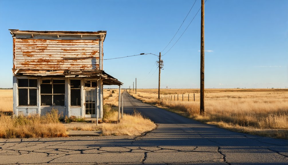
When you pull off the county road and look out across the land where Bethel once stood, you’ll find that time hasn’t left much behind. The Bethel remnants are subtle — a weathered rural landscape shaped by homesteaders who broke ground here after the Land Rush of 1889.
You won’t encounter dramatic ruins or towering structures. Instead, you’re reading the land itself.
Look for historical markers, cemetery references, and any surviving traces tied to the early congregation and schoolhouse gatherings that once defined this community. Local archives and county records often reveal more than the ground does.
Bring a camera, a county map, and patience. Bethel rewards the traveler who appreciates quiet history over spectacle — the kind of place that speaks through absence rather than presence.
How the 1889 Land Rush Built and Abandoned Bethel
When the Land Rush of 1889 opened central Oklahoma to homesteaders, settlers flooded onto claims and quickly built the kind of tight-knit frontier community that became Bethel.
You can trace the town’s roots to those early families who gathered in small schoolhouses for Sunday School and relied on traveling ministers to hold occasional preaching services.
But the same isolation and economic fragility that shaped Bethel’s founding also sealed its fate, as the community gradually lost population and faded into the quiet rural landscape you’ll find today.
Land Rush Settlement Beginnings
At the crack of noon on April 22, 1889, thousands of settlers surged across the Oklahoma Territory line, staking their claims in what became one of the most chaotic land grabs in American history.
You can almost feel the dust and desperation as homesteaders hammered stakes into unfamiliar ground, determined to carve out something lasting from raw prairie land.
Central Oklahoma’s Bethel community emerged directly from this moment. Early settlers faced serious settlement challenges — isolation, scarce resources, and the grinding demands of frontier life.
They weren’t building a boomtown; they were building something quieter and more personal. Sunday School gatherings in small schoolhouses became the community’s foundation, binding neighbors who understood that surviving this land meant depending on each other.
That grit shaped everything Bethel became.
Bethel’s Gradual Decline
What the Land Rush built, time and circumstance quietly dismantled. Bethel’s story mirrors countless Oklahoma communities that rose from raw prairie ambition only to fade when conditions shifted.
Settlement challenges—isolation, economic hardship, and limited infrastructure—slowly drained the population that once gathered in schoolhouses and small churches.
Community resilience kept Bethel alive longer than many similar towns, but eventually the pulls of larger towns and better opportunities proved stronger.
When you visit today, you’re walking ground where that quiet unraveling happened:
- Railroad routes bypassed the area, cutting off growth
- Younger generations left for expanding nearby towns
- Church and school gatherings gradually ceased without enough residents
Bethel didn’t collapse dramatically. It simply emptied—one family, one season at a time.
Why Bethel Fits Oklahoma’s Ghost Town Pattern
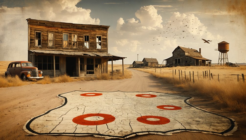
When you start mapping out ghost towns across Oklahoma, you’ll quickly notice that Bethel fits a pattern historians have documented nearly 2,000 times across the state.
Railroad bypasses, economic busts, and slow population drain quietly erased hundreds of frontier communities just like it.
Bethel’s settlement-era decline wasn’t dramatic, but that’s exactly what makes it a compelling stop — it reflects the slow, ordinary way that early Oklahoma communities simply faded out.
Oklahoma Ghost Town Causes
Although Oklahoma claims roughly 2,000 ghost towns, each one faded for its own reason—railroad bypasses, economic busts, devastating floods, or the creation of reservoirs that swallowed entire communities whole.
Understanding these causes deepens the cultural significance of every stop you make.
Common forces behind Oklahoma’s vanished towns include:
- Railroad impact that triggered economic decline when tracks bypassed small settlements, cutting off commerce and accelerating rural isolation
- Settlement challenges like harsh weather, failed crops, and homesickness that tested community resilience on every frontier claim
- Historical preservation gaps where local folklore survived longer than the buildings, leaving only stories and scattered records behind
Bethel reflects this quieter pattern—a settlement shaped by hardship rather than dramatic collapse, making it a genuinely meaningful destination on your road trip route.
Bethel’s Settlement-Era Decline
Bethel didn’t collapse overnight—it faded the way most of Oklahoma’s forgotten communities did, quietly losing residents to economic pressure, isolation, and the slow erosion of frontier optimism.
Homesteaders arrived with ambition, built their schoolhouses, and gathered for Sunday services, but settlement challenges wore down even the most determined families. The land demanded everything and promised little certainty in return.
Community resilience kept Bethel alive longer than the conditions probably warranted. Neighbors leaned on shared faith, informal gatherings, and collective determination to hold something together on the open prairie.
Eventually, though, the forces that erased hundreds of Oklahoma communities—railroad bypasses, population drift, economic stagnation—proved stronger.
When you visit Bethel today, you’re walking through what that quiet, inevitable fading actually looks like on the ground.
Plan Your Central Oklahoma Ghost Town Route Through Bethel
Planning a central Oklahoma ghost town route around Bethel means leaning into the region’s land-rush roots and layering your stops with purpose.
Pair Bethel landmarks with nearby vanished communities, county museums, and historic markers that tell the fuller story of rural heritage in this part of the state.
Build your route around three core priorities:
- County roads and rural corridors that connect settlement-era sites across the central Oklahoma landscape
- Local historical societies and archives where you’ll verify site locations and uncover documented community records
- Cemeteries, church sites, and schoolhouse remnants that anchor each stop with tangible history
You’re not chasing spectacle here.
You’re tracing the quiet evidence of lives built fast and lost faster, and that’s exactly what makes this route worth driving.
Ghost Towns Worth Pairing With a Bethel Stop
Once you’ve mapped your Bethel stop, the route gets richer when you fold in the surrounding ghost towns that share its settlement-era DNA. Central Oklahoma is dense with vanished communities, each carrying its own version of the land-rush story.
You’re not just checking off ghost town attractions — you’re tracing a collapsed frontier network that once hummed with homesteaders, circuit preachers, and one-room schoolhouses.
Look for nearby towns that lost their footing when railroads redirected commerce or populations simply scattered. Pair Bethel with stops featuring historical landmarks, local cemetery records, or county museum archives that fill in the gaps physical remains can’t.
The strongest road trips connect these dots deliberately, building a layered picture of what central Oklahoma looked like before the land emptied out again.
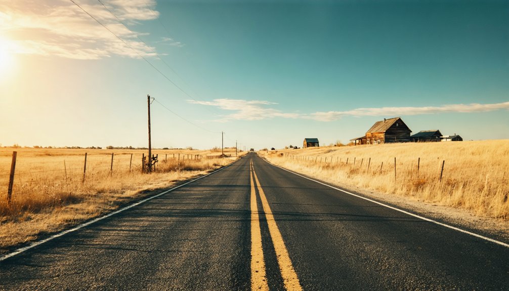
County Roads and Local Archives That Lead You There
Getting to Bethel — and making sense of it when you arrive — means leaning on two tools most GPS apps won’t hand you: county road knowledge and archival research.
Rural roadways through central Oklahoma shift fast — unpaved stretches, unmarked turns, and seasonal conditions can catch you off guard. Ghost town archives fill the gaps your map can’t.
Before you roll out, tap these resources:
- Oklahoma Historical Society — digitized county records, plat maps, and settlement documentation
- Local county courthouses — land deeds and original survey records that trace community boundaries
- Regional genealogical societies — church histories and personal accounts that place Bethel in lived context
Cross-reference what you find with satellite imagery before driving out. You’ll arrive knowing exactly what you’re looking for — and why it matters.
When to Visit Bethel for the Best Road Trip Conditions
When you visit matters almost as much as where you go — and for a rural ghost-town stop like Bethel, timing your trip around Oklahoma’s seasonal patterns can make the difference between a productive excursion and a muddy, frustrating dead end.
Local weather shifts dramatically across seasons, so understanding those patterns shapes your best travel times.
Spring brings beautiful landscapes but also heavy rain that turns county roads into impassable mud.
Summer heat hits hard and fast, making midday exploration exhausting.
Fall offers your strongest window — cooler temperatures, drier roads, and clear light that’s ideal for photography and navigation.
Fall is your strongest window — cooler temps, drier roads, and clear light made for exploration.
Winter remains unpredictable, with occasional ice storms shutting down rural routes entirely.
Plan for October or November, pack water, check road conditions beforehand, and give yourself flexible driving time.
What to Pack for Central Oklahoma’s Rural Back Roads
Timing your trip well only gets you so far — what you carry into rural central Oklahoma determines how that trip actually plays out once you’re off the main roads.
Your road trip checklist should reflect the realities of isolated county roads, unpredictable weather, and limited services. Rural packing essentials keep you moving instead of stranded.
- A detailed paper map or downloaded offline GPS route covering central Oklahoma’s back roads
- Extra water, snacks, and a basic vehicle emergency kit for stretches with no nearby towns
- A camera, notebook, and printed historical references for documenting what you find on-site
Pack light but pack smart.
Out here, self-sufficiency isn’t just practical — it’s the whole spirit of chasing Oklahoma’s forgotten places on your own terms.
Where to Research Bethel’s Settlement History After Your Visit

Once you’re back home, the real research into Bethel’s settlement history begins — and the trail leads through county archives, church records, and Oklahoma’s deep network of local historical resources.
Start with the Oklahoma Historical Society, which holds land run records, early township maps, and settler documentation. Local libraries in central Oklahoma often maintain vertical files specific to vanished communities, so ask librarians directly about Bethel.
Historical archives at the county courthouse can surface deed records and plat maps that reconstruct the original settlement footprint. Church denomination headquarters sometimes preserve congregation registers from the frontier era.
Online databases like the Gateway to Oklahoma History digitize many primary sources you can access independently. Cross-referencing multiple sources sharpens the picture considerably and rewards the curious traveler who refuses to stop digging.
Frequently Asked Questions
Is Bethel, Oklahoma Officially Recognized as a Ghost Town by Historians?
Bethel fits Oklahoma’s ghost-town historical definitions, though you won’t find grand abandoned buildings here. You’ll discover quiet rural remnants, local legends, and settlement-era traces that historians recognize within Oklahoma’s broader ghost-town documentation framework.
Can Visitors Access Bethel’s Location Without a Four-Wheel-Drive Vehicle?
Ready to roam freely? You can typically reach Bethel without four-wheel-drive, but road conditions on rural county roads vary seasonally. Always check vehicle recommendations beforehand, ensuring your standard car handles Oklahoma’s unpredictable dirt paths comfortably.
Are There Any Entrance Fees Associated With Visiting Bethel’s Historic Site?
You won’t encounter any entrance fees when visiting Bethel’s historic site. It’s an open, freely accessible rural location where you can explore its remnants while appreciating the community’s historical preservation efforts on your own terms.
Did Any Notable Historical Figures Ever Settle in the Bethel Community?
Like seeds carried on the wind, Bethel’s notable settlers were everyday homesteaders whose historical significance shaped the community. You won’t find famous names, but you’ll discover courageous pioneers who built something lasting from nothing.
How Many Ghost Towns Exist Within a Short Driving Distance of Bethel?
You’ll find Oklahoma holds roughly 2,000 ghost towns, so you’re never far from rich ghost town history and intriguing local legends near Bethel, making every rural drive an exciting discovery of forgotten frontier communities.
References
- https://www.travelok.com/articles/oklahomaghosttowns
- https://www.okhistory.org/publications/enc/entry?entry=GH002
- https://beerconnoisseur.com/articles/infamous-wild-west-ghost-town-beer-city-oklahoma/
- https://kids.kiddle.co/List_of_ghost_towns_in_Oklahoma
- https://en.wikipedia.org/wiki/List_of_ghost_towns_in_Oklahoma
- https://www.bethelchurchok.org/early_history
- https://www.facebook.com/TravelOK/posts/discover-nearly-forgotten-history-hidden-within-oklahomas-ghost-towns-click-on-t/10157714349403997/
- https://www.youtube.com/watch?v=aeAXyEw70io
- https://www.facebook.com/groups/732791670078973/posts/1976846695673458/
- https://www.ghosttowns.com/states/ok/ok.html


