Planning a ghost town road trip to Sheridan, Washington means heading deep into Okanogan County’s remote highlands, where the Phil Sheridan Mine‘s crumbling mill ruins and scattered relics tell a century-old silver story. You’ll need a high-clearance vehicle, offline maps, and solid supplies since cell service disappears fast out here. The site’s raw and unrestored, so it rewards those who come prepared. Stick around to uncover everything you need to make this backcountry adventure worth every mile.
Key Takeaways
- Sheridan ghost town in Okanogan County features crumbling mill ruins and artifacts from an early 20th-century silver mining camp.
- Avoid entering abandoned mine adits or the 300-foot vertical shaft, as rotted timbers, loose rock, and hidden openings create serious hazards.
- High-clearance vehicles are strongly recommended, as unpaved backcountry roads in the Wauconda Mining District can be muddy and deteriorated.
- Pack water, a first aid kit, offline maps, and a flashlight, since the remote area lacks cell coverage and safe water sources.
- Combine the trip with nearby ghost towns like Molson, Chesaw, and Bodie to maximize your Okanogan County heritage experience.
What Is the Sheridan Ghost Town in Washington?
Tucked into the remote backcountry of Okanogan County, Washington, Sheridan is an abandoned mining camp that grew up around the Phil Sheridan Mine, a silver-gold-lead property in the Wauconda Mining District.
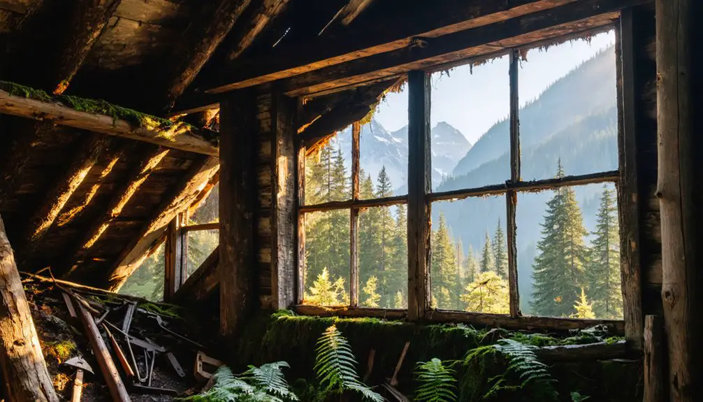
Today, it stands as a genuine ghost town, far from restored attractions and tourist infrastructure. You’ll find crumbling structures, deteriorating mill ruins, and the quiet weight of mining heritage left largely untouched.
Don’t confuse this Sheridan with the one in southeast King County — you’re heading to Okanogan County’s wilderness.
The camp earned its place in Washington’s early 20th-century mineral history, drawing photographers, history seekers, and backcountry explorers who value authenticity over convenience.
It’s the kind of place that rewards curiosity and careful planning in equal measure.
Mining History and Production at the Phil Sheridan Mine
When mineral deposits were first discovered at the Phil Sheridan Mine in 1900, few could have predicted the productive run that followed.
Over the next two decades, this remote Okanogan County operation became a legitimate silver-gold-lead producer worth tracing on any road trip.
Here’s what the timeline looked like:
- Mineral discoveries confirmed in 1900
- High-grade ore shipments reached smelters between 1906 and 1919
- A 50-ton flotation mill built in 1918 modernized ore processing on site
- Underground mining techniques carved out 3 adits and a 300-foot vertical shaft
- Operations went idle in 1920 after estimated silver production hit between $60,000 and $100,000
That history didn’t vanish when the miners left.
You can still feel it in the ruins waiting for you out there.
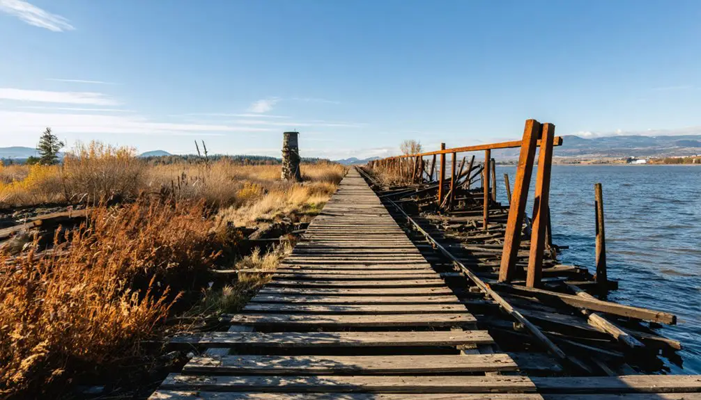
What’s Left to See at the Sheridan Camp Today?
Once the miners packed out and the last ore shipment rolled away in 1920, Sheridan didn’t disappear overnight — it just slowly surrendered to the wilderness.
Today, you’ll find a handful of abandoned structures still standing against the odds, weathered but worth the drive. The original mill, active through 1918, has crumbled into ruin, though remnants anchor the site’s story.
Scattered mining artifacts hint at the operation’s scale, connecting you directly to the hands that worked this remote silver-gold claim.
Underground, three adits and a 300-foot vertical shaft remain — dangerous, hidden, and unforgiving. You’re walking ground that saw real production, real ambition, and real abandonment.
Nothing here is staged or restored. That rawness is exactly what makes Sheridan worth finding.
The Real Hazards Waiting for You at an Abandoned Mine
Once you step beyond the tree line and into the Sheridan camp, the ground itself becomes your first enemy — hidden shaft openings and collapsed adits can swallow a careless step without warning.
The vertical shaft here drops roughly 300 feet, and nothing about its entrance announces itself clearly in overgrown terrain.
Rotted timber supports throughout the mine workings have spent decades surrendering to moisture and gravity, meaning any structure still standing deserves your distance, not your weight.
Shafts and Collapse Risks
Abandoned mines like Sheridan don’t announce their dangers with warning signs or safety railings—they hide them. That 300-foot vertical shaft? It doesn’t glow or rumble. It waits. Shaft safety here isn’t a formality—it’s survival awareness.
Collapse prevention starts before you ever set foot near the ruins.
Watch for these hazards:
- Hidden openings concealed by vegetation or decades of debris
- Rotted timber supports that look solid but carry zero load
- Loose rock near adit entrances ready to shift without warning
- Degraded ground surrounding shaft collars that can give way underfoot
- Low visibility interiors that make depth and distance impossible to judge
Stay outside. Respect the distance. The mine already ran its course—don’t let it run yours.
Hidden Openings Underfoot
Decades of debris, overgrown brush, and collapsed surface material can swallow a mine opening whole, leaving nothing visible from above except ordinary-looking ground.
That’s what makes hidden hazards at Sheridan genuinely dangerous during any mine exploration. You won’t always see the warning signs before your foot breaks through. Old adits can collapse inward, creating shallow depressions disguised beneath grass and fallen leaves. Rotted timber frames offer zero structural resistance. One misplaced step drops you into darkness without warning.
Stick to established paths, watch the ground ahead intentionally, and avoid probing unfamiliar terrain with casual curiosity. If the earth feels soft, hollow, or unusually sunken, back away immediately.
Your freedom to explore this remarkable ghost town depends entirely on returning home with the same number of bones you arrived with.
Unstable Timber Supports
Watch for these dangers:
- Roof beams sagging under accumulated debris and moisture
- Vertical shaft frames weakened by decades of weathering
- Adit entrance supports that crumble under slight pressure
- Flooring timbers concealing voids beneath a stable-looking surface
- Crossbeam connections rotted through at their joints
You’re exploring genuine wilderness history here—that freedom comes with responsibility.
Keep your distance from any timbered opening or structure. A century of Washington winters has done its work, and no ghost-town photograph is worth triggering a collapse around you.
Why Sheridan Belongs on a Washington Road Trip
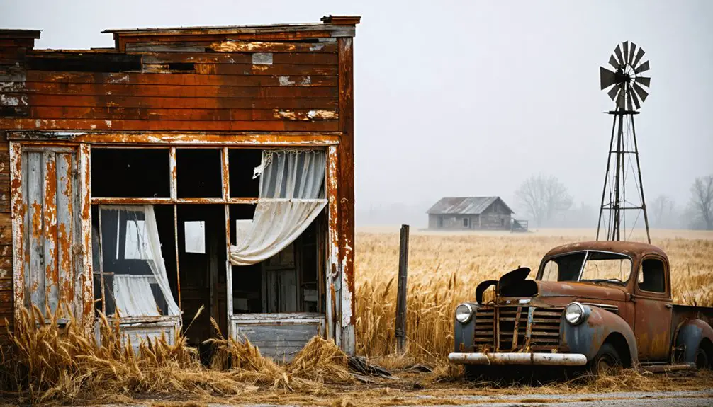
While Washington has no shortage of scenic drives and historic stops, Sheridan stands apart as a destination that layers ghost-town atmosphere, mining heritage, and raw backcountry scenery into a single visit.
You’re not stepping into a polished attraction here — you’re walking through what remains of a genuine early 20th-century silver-gold mining camp. For mining history enthusiasts, the Phil Sheridan Mine‘s production story, spanning active ore shipments and an on-site flotation mill, offers real depth.
This isn’t a restored attraction — it’s the real thing, a silver-gold mining camp frozen in early 20th-century time.
For ghost town photography, the surviving structures and deteriorating mill ruins deliver authenticity that restored sites simply can’t replicate.
Pair Sheridan with other Okanogan County wilderness or heritage stops, and you’ve built a road trip that trades tourist traps for something far more rewarding — unfiltered history in open country.
How to Locate Sheridan in Okanogan County
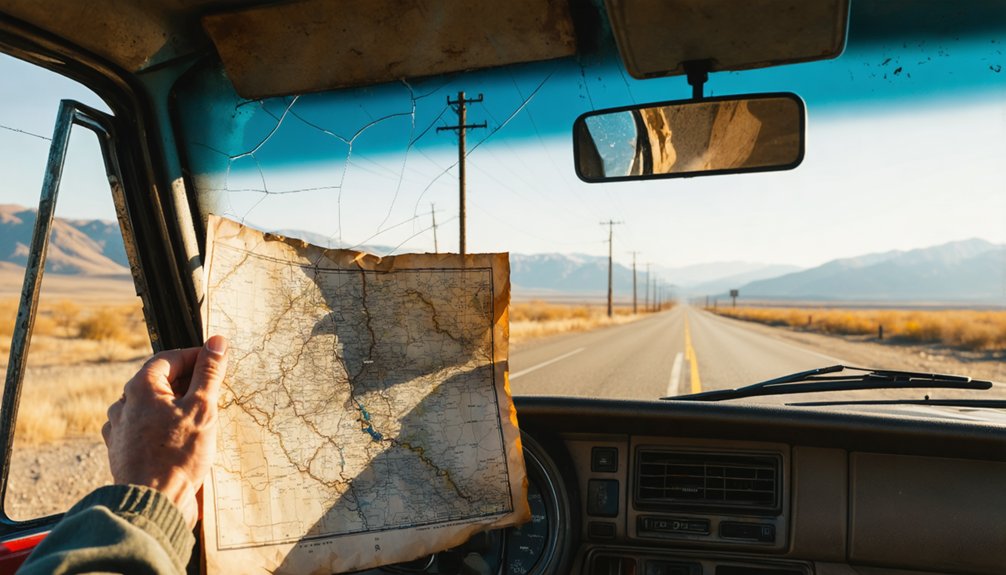
Getting to Sheridan starts with getting the map right. Two Sheridans exist in Washington, and steering through maps carelessly will send you to King County instead of Okanogan County.
Finding directions to the correct site means confirming you’re routing toward the Wauconda Mining District. Keep these navigation essentials in mind:
- Target Okanogan County specifically when searching maps
- Reference the Wauconda Mining District as a geographic anchor
- Avoid King County Sheridan listings that appear in search results
- Use physical or downloaded offline maps for backcountry reliability
- Cross-reference multiple sources before committing to a route
Cell coverage thins out fast once you’re deep in backcountry Washington. Download your maps before you leave pavement behind, and double-check your route against reliable regional resources.
The wilderness doesn’t offer second chances on wrong turns.
Do You Need a High-Clearance Vehicle to Get There?
Whether you need a high-clearance vehicle depends on the season and current road conditions, but the remote backcountry setting of Sheridan’s Okanogan County site doesn’t reward casual assumptions.
Unpaved roads leading into the Wauconda Mining District can shift dramatically between dry summer conditions and muddy, rutted spring approaches. Vehicle requirements aren’t rigid rules here — they’re practical responses to what the land actually presents.
Road conditions here don’t follow a schedule — they follow the season, the weather, and whatever the land decides.
A high-clearance truck or SUV gives you flexibility when roads deteriorate unexpectedly. A standard sedan might manage the route in ideal conditions, but you’d be gambling with your return trip.
Check current conditions before you leave, carry reliable maps, and build in extra time. Out here, preparation isn’t optional — it’s the difference between an adventure and an ordeal.
What to Pack for the Drive to Sheridan
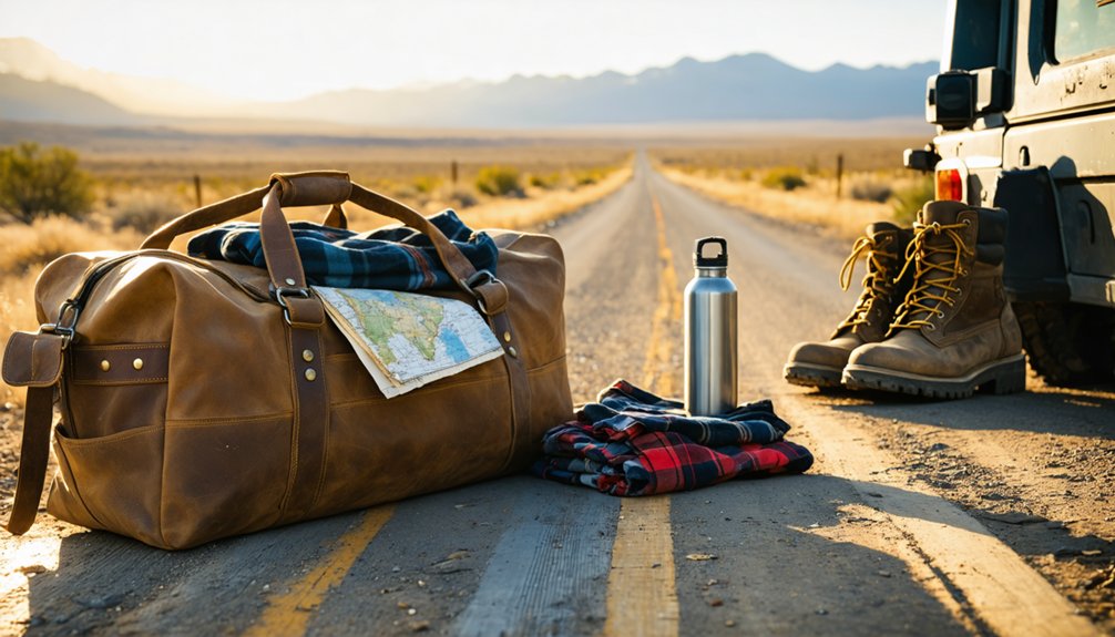
Once you’ve settled the vehicle question, what you load into it matters just as much as what you’re driving.
Trip preparation for Sheridan means packing essentials that handle real backcountry demands, not just comfort items.
Pack these before leaving:
- Fuel — top off before heading into Okanogan County; stations get sparse fast
- Water — carry more than you think you’ll need; nearby sources aren’t guaranteed safe
- Paper maps or downloaded offline maps — cell coverage disappears in the backcountry
- First aid kit — rough terrain and remote locations demand it
- Flashlight or headlamp — old mine areas and fading daylight don’t mix well
Sheridan rewards the self-sufficient traveler.
Arrive prepared, and the wilderness works with you rather than against you.
Ghost Towns and Mine Sites to Pair With Sheridan
Sheridan doesn’t have to stand alone on your itinerary, since Okanogan County holds enough abandoned mining camps and heritage sites to build a full backcountry circuit around it.
The Wauconda Mining District, which surrounds the Phil Sheridan Mine, connects naturally to other early 20th-century mineral operations scattered across the region’s remote terrain.
Nearby Okanogan Mining Camps
Okanogan County’s backcountry holds far more than a single ghost town, and pairing Sheridan with nearby mining camps turns a day trip into a richly layered journey through Washington’s early mineral rush.
The region’s historic mining corridors connect several abandoned sites worth exploring:
- Wauconda – a former trade hub serving surrounding mine operations
- Chesaw – a small camp with colorful gold-rush roots
- Molson – an open-air ghost town with preserved original structures
- Bodie – a remote silver-camp remnant deep in the highlands
- Toroda – a quiet valley settlement tied to regional ore transport
Each stop adds texture to the broader story.
You’ll move between ruins, ridge roads, and forgotten streets, building a vivid picture of the region’s boom-era past.
Pairing Heritage Stops Together
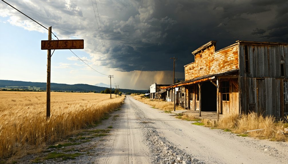
Knowing which camps sit within reach of Sheridan makes it easier to build a route that rewards the drive with more than a single stop. Okanogan County holds enough heritage landmarks to fill several days if you connect them deliberately.
Thread Sheridan into a loop that sweeps through Wauconda, dips toward Republic’s mining corridor, and follows scenic routes along the Sanpoil River valley. Each stop adds a distinct chapter — collapsed mills here, headframes there, weathered storefronts that still carry the outline of a working town.
You’re not chasing a single ruin; you’re reading a landscape shaped by the same mineral rush. Plan the sequence by distance and road condition, and you’ll move efficiently without sacrificing depth at any one site.
Frequently Asked Questions
Is There a Fee to Visit the Sheridan Ghost Town in Okanogan County?
No fee blocks your path to Sheridan’s ghost town legends. You’ll roam freely through Sheridan history, but respect private property boundaries, stay safe near hazardous mine shafts, and embrace this untamed, authentic backcountry adventure.
Are Guided Tours Available at the Sheridan Mining Camp Site?
Forget pampered guided exploration — Sheridan’s raw, untamed historical significance demands you blaze your own trail! No formal tours exist here; you’ll navigate crumbling ruins, eerie mine shafts, and backcountry wilderness entirely on your own adventurous terms.
Can You Camp Overnight Near the Sheridan Ghost Town Area?
You’ll find camping regulations vary in this remote Okanogan County wilderness, so check local land-use rules before setting up camp. Pair your stay with nearby attractions, soaking in raw backcountry freedom beneath star-filled skies.
Is the Sheridan Site Open to Visitors Year-Round?
No official hours gate this rugged ghost town history site — you can visit, but snow-choked backcountry roads often block winter access. Visitor tips: plan your journey for late spring through early fall for the best experience.
Has the Sheridan Site Appeared in Any Documentaries or Publications?
No confirmed documentary features are on record, but you’ll find Sheridan’s ghost town history woven into regional mining publications and backcountry exploration guides that capture its rugged, forgotten spirit and inspire adventurous travelers like you.
References
- https://www.youtube.com/watch?v=wV7U5UbMKLg
- https://www.facebook.com/ghosttownsofwashington/posts/sheridan-located-in-wauconda-district-of-okanogan-county-wamineral-discoveries-w/1037503766296008/
- https://www.youtube.com/watch?v=4WosmAmdE48
- https://kids.kiddle.co/Sheridan
- https://www.therockerbox.com/okanogan_county_wa_ghost_towns.htm
- https://caspercollege.cvlcollections.org/items/show/9810
- https://en.wikipedia.org/wiki/Sheridan
- https://www.facebook.com/ghosttownsofwashington/posts/our-explorations-of-sheridan-okanogan-county-wa-full-video-available-at-the-link/735671191922631/
- https://www.facebook.com/ghosttownsofwashington/posts/our-exploration-of-the-abandoned-ghost-town-and-abandoned-mines-of-sheridan-loca/752233510266399/
- https://pnwphotoblog.com/ghost-town-of-sheridan-washington/