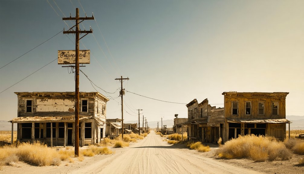
Planning a ghost town road trip to Camanche, California means chasing a Gold Rush settlement that’s literally underwater. Founded in 1849 along the Mokelumne River, Camanche once housed 1,500 residents before gold veins ran dry and the reservoir swallowed what remained. Today, you can visit South Camanche Shore Park, spot structural remnants near Historical Landmark No. 254, and explore the Calaveras County Historical Society. There’s far more to this sunken story than the shoreline reveals.
Key Takeaways
- Camanche, a Gold Rush town of 1,500 residents, now lies submerged beneath Camanche Reservoir since the early 1960s.
- Stop at South Camanche Shore Park to view the historical plaque commemorating the submerged townsite.
- Visit the Calaveras County Historical Society in San Andreas to see preserved relics from Camanche’s Immaculate Conception church.
- Explore California Historical Landmark No. 254 to find visible mortise stones from the Westmoreland suspension bridge.
- Nearby Poverty Bar provides additional historical context about the broader Mokelumne River mining corridor.
What Was Camanche Before It Disappeared?
Before it vanished beneath a reservoir, Camanche was a thriving Gold Rush settlement tucked along the Mokelumne River in Calaveras County, California. Founded in 1849, it originally went by Limerick, later called Clay’s Bar, before earning its final name in 1849. That name echoes Native American history, drawing from the Comanche tribe’s identity while mirroring Camanche, Iowa.
At its peak, you’d have found roughly 1,500 residents working nearby camps like Poverty Bar and Cat Camp. The Mokelumne River wasn’t just scenery — it drove river transportation for water delivery through the Lancha Plana and Poverty Bar Ditch system, fueling mining operations across a 12-mile corridor.
Camanche was registered as California Historical Landmark No. 254, recognizing its outsized role in the region’s frontier story.
How Did the Gold Rush Boom Turn Camanche Into a Ghost Town?
Once the richest veins played out, Camanche’s fate unraveled quickly. At its peak, roughly 1,500 residents chased fortunes through Cat Camp, Poverty Bar, and Sand Hill.
When the richest veins ran dry, 1,500 restless souls and their gold rush dreams vanished with them.
Mining technology like the Lancha Plana and Poverty Bar Ditch brought Mokelumne River water straight to the diggings, keeping operations alive longer than nature alone allowed.
But when the gold disappeared, so did the people. A devastating fire torched Camanche’s Chinatown in 1873, stripping away a crucial community layer.
Gold rush artifacts that once filled homes and storefronts scattered or vanished entirely. Without steady ore, businesses collapsed, neighbors left, and the post office finally shut its doors in 1962.
What ambition built in months, exhaustion dismantled over decades — leaving silence where a boomtown once roared.
What’s Left to See at Camanche Today?
Though the original townsite drowned beneath Camanche Reservoir in the early 1960s, there’s still plenty worth seeking out. Start at South Camanche Shore Park, where a commemorative plaque grounds you in the town’s layered history. California Historical Landmark No. 254 connects you to local legends of Gold Rush ambition and fiery destruction.
Scan the shoreline and you’ll notice the reservoir’s river ecosystems still quietly pulse beneath the surface, shaped by the same Mokelumne River that once powered mining operations.
Head to San Andreas and visit the Calaveras County Historical Society, where relics from the Immaculate Conception church survive. Look near the landmark area for mortise stones from the Westmoreland suspension bridge. These fragments let you piece together Camanche’s story on your own terms.
Where to Stop Along Your Camanche Road Trip?
Stretching your Camanche road trip into the surrounding Mokelumne River corridor opens a string of stops that deepen the ghost-town story. Pull over at South Camanche Shore Park, where a commemorative plaque anchors local legends about the submerged town below the reservoir’s surface.
Pause at South Camanche Shore Park, where a plaque quietly marks the drowned town sleeping beneath the reservoir.
From there, head to San Andreas and visit the Calaveras County Historical Society, which preserves relics salvaged from the Immaculate Conception church — among the few surviving historic buildings connected directly to Camanche.
Don’t skip the area near California Historical Landmark No. 254, where mortise stones from the old Westmoreland suspension bridge still sit as quiet evidence of a vanished world.
Nearby Poverty Bar adds another layer, giving you a fuller picture of how the entire Mokelumne mining corridor rose and collapsed together.
What Other Submerged Towns Can You Find Along the Mokelumne River?
Camanche wasn’t the only town swallowed by the Mokelumne River corridor‘s transformation. Poverty Bar and several smaller mining camps once thrived along these same banks, drawing prospectors chasing gold through rugged terrain.
When East Bay Municipal Utility District flooded the valley, these settlements vanished alongside Camanche, leaving behind stories locked beneath the waterline.
Today, underwater archaeology offers tantalizing glimpses into what remains submerged — foundations, tools, and structural fragments slowly reclaimed by reservoir ecosystems.
These ecosystems have reshaped the landscape entirely, turning former streets into habitats for fish and wildlife.
You won’t walk those lost streets, but you can stand at the shoreline and imagine entire communities operating where water now reflects the sky.
That freedom to reconstruct history from fragments makes this corridor genuinely compelling.
Frequently Asked Questions
When Did Camanche’s Post Office First Open Under Its Original Name?
You’ll find that Camanche’s post office first opened in 1861 under its original name, Clay’s Bar. This ghost town history milestone marks a key post office timeline moment before its 1864 renaming to Camanche.
Which Organization Built the Dam That Created Camanche Reservoir?
You’ll find that East Bay Municipal Utility District orchestrated this historic dam structure’s creation, pioneering reservoir construction techniques that forever reshaped the land, submerging Camanche’s storied streets beneath tranquil waters — a bittersweet aquatic transformation you can still reflect upon today.
Where Are the Immaculate Conception Church Relics Currently Preserved Today?
You’ll find the church relics from the Immaculate Conception church preserved at the Calaveras County Historical Society in San Andreas — one of California’s most fascinating preservation sites keeping Gold Rush spiritual heritage beautifully alive for freedom-seeking explorers like you!
How Many Miles Did the Camanche Mining District Extend Along the River?
Oh, you’ll *love* the paperwork trail left behind! The Camanche Mining District stretched roughly 12 miles along the Mokelumne River, making your Mining history and River exploration adventure surprisingly well-documented for a place that’s now underwater.
What Surviving Bridge Remnants Can Visitors Find Near the Landmark Area?
You’ll find mortise stones from the Westmoreland suspension bridge surviving as historic remnants near the landmark area. These bridge ruins connect you to Camanche’s past, offering a tangible, freedom-filled glimpse into the Gold Rush era’s bold engineering.
References
- https://sierranevadageotourism.org/entries/camanche-no-254-california-historical-landmark/d6f1d573-1531-4bd9-8633-715bfb5ff97b
- https://en.wikipedia.org/wiki/Camanche
- https://www.mindat.org/loc-75642.html
- https://noehill.com/calaveras/cal0254.asp
- https://www.calaverashistory.org/camanche
- https://en.wikipedia.org/wiki/List_of_ghost_towns_in_California
- https://northbaydigital.sonoma.edu/digital/api/collection/calfolklore/id/2907/download
- https://www.youtube.com/watch?v=1ud-F2TR0Sk



