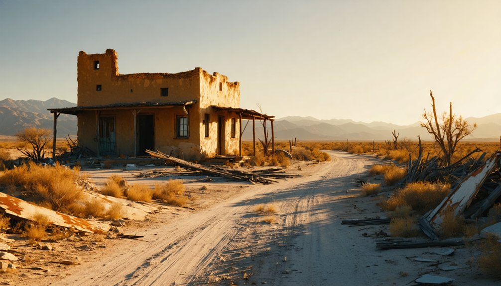
Planning a ghost town road trip to Acala, Texas means heading roughly 54 miles southeast of El Paso along old Highway 20 in Hudspeth County, where crumbling adobe, weathered wood, and desert silence are your only company. You’ll want a full gas tank, plenty of water, and a paper map since cell service doesn’t exist out here. Spring and fall offer the most comfortable conditions for exploring. There’s far more to this forgotten cotton town’s story than the ruins suggest.
Key Takeaways
- Acala sits along State Highway 20, about 54 miles southeast of El Paso, making it an easy detour off Interstate 10.
- Pack at least one gallon of water per person, a paper map, snacks, and a full gas tank before visiting.
- Spring and fall offer the best visiting conditions; summer temperatures frequently exceed 100°F, requiring extra preparation.
- Explore deteriorating adobe structures, weathered wood buildings, and irrigation remnants that reflect Acala’s cotton farming and railroad history.
- Extend your trip by visiting nearby ghost towns like Sierra Blanca, Fort Hancock, Marfa, and Valentine along I-10 and Highway 90.
Where Is Acala, Texas, and How Do You Get There?
Tucked into the far western reaches of Texas, Acala sits in Hudspeth County along State Highway 20, roughly 34 miles northwest of Sierra Blanca and 54 miles southeast of El Paso.
Acala hides in Hudspeth County, a quiet dot along State Highway 20 deep in far western Texas.
The desert landscape surrounding it tells a quiet story of historical agriculture and railroad history that once kept this community alive.
To reach Acala, take Interstate 10 toward the El Paso–Sierra Blanca corridor, then navigate onto the older highway routes that wind through the region.
You’ll find yourself driving through open desert, following the ghost of the former Southern Pacific Railroad line that once gave this town its economic pulse.
It’s a raw, unhurried stretch of West Texas — exactly the kind of road that rewards travelers who chase history over convenience.
The Cotton Farm That Founded a Ghost Town
When you trace Acala’s origins, you’ll find a story rooted in agricultural experimentation rather than railroad speculation or frontier settlement. Back in 1917, three farmers planted test crops of cotton near Tornillo, sparking interest in what irrigated desert soil could actually produce.
That experiment eventually led W.T. Young to clear nearby land with mules and plant a Mexican cotton variety called Acala — a name that would soon belong to the town itself.
Acala Cotton’s Experimental Origins
Before Acala ever appeared on a map, three farmers planted an experimental cotton crop near Tornillo in 1917, roughly 13 miles northwest of where the town would later take root. That bold gamble with historical agriculture proved the desert could bloom, setting everything in motion.
W.T. Young then bought raw desert land near the railroad, cleared it with mules, and planted a Mexican cotton variety called Acala. That single decision built a town from nothing.
Here’s what that experimental spirit actually produced:
- A proven crop that transformed barren desert into productive farmland
- A railroad connection that made shipping cotton viable and drove railroad history forward
- A living community that gave dozens of families real independence and purpose
From Fields To Ghost Town
Once Young’s Acala cotton took hold in the desert soil, a town grew up almost overnight around it. A cotton gin anchored the settlement, and by the early 1920s, you’d have found a general store, restaurant, tourist courts, and a gas station clustered nearby.
Community stories from this era describe a hardworking desert outpost where local cuisine and daily life revolved around the harvest season.
Then everything shifted. The Great Depression gutted the population to nearly 10 residents. Mechanization eliminated farm labor jobs. The railroad pulled its spur.
Interstate 10 bypassed the old Highway 80 corridor entirely, cutting off foot traffic that once kept small businesses alive. Today, roughly 25 people remain.
When you drive through, you’re witnessing the full arc of a town that cotton built and progress quietly erased.
From Cotton Gin to Community: How Acala Became a Real Town
As W.T.. Young’s cotton fields flourished, Acala transformed from raw desert into a living community. A cotton gin rose from the dust, drawing workers, families, and ambition to this remote stretch of West Texas. Among the desert flora and local legends, something rare took root — belonging.
By 1925, Acala had earned its own post office, with Mrs. Julia A. Vaughn serving as postmistress.
Businesses followed:
- A general store where neighbors traded supplies and stories
- A restaurant offering rest to road-weary travelers
- A gas station and garage keeping desert journeys moving
What Killed Acala? Railroad Removal, Interstate Bypass, and Decline
Though Acala once thrived on cotton and community, three forces quietly dismantled it. Agricultural decline hit first — machines replaced fieldworkers, and families who’d built their lives around the harvest simply left. You can almost picture the exodus, truck by truck, until the streets grew quiet.
When the machines arrived, the families left — truck by truck, until Acala’s streets forgot the sound of people.
Railroad abandonment followed. When the Southern Pacific pulled its spur, Acala lost its economic lifeline. Goods couldn’t move efficiently, and businesses couldn’t survive without that connection.
Then came Interstate 10, rerouting traffic away from the old two-lane Highway 80. Travelers who once stopped for gas, food, or a night’s rest now sped past without knowing Acala existed.
Each blow alone might’ve been survivable. Together, they reduced a town of 100 to a handful of stubborn holdouts.
What’s Left of This West Texas Ghost Town Today
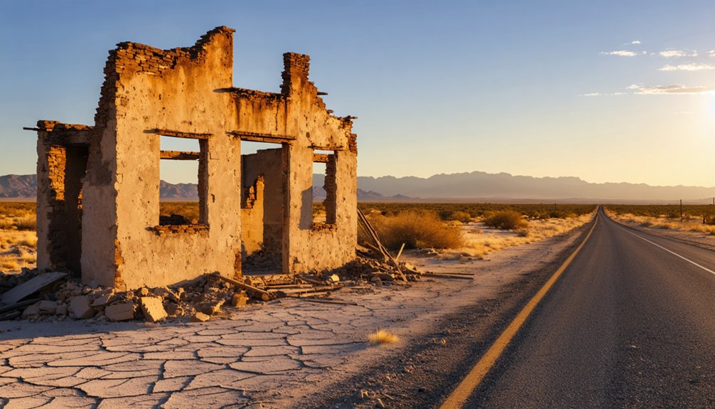
When you roll through Acala today, you’ll find little more than scattered remnants of the cotton-era structures that once supported a community of 100 people.
The current population hovers around 25, leaving the town feeling more like a roadside memory than a living settlement.
You can still spot the bones of the old townsite along State Highway 20, where the desert has slowly reclaimed what cotton farming and railroad commerce once built.
Remaining Structures And Remnants
What remains of Acala today tells a quiet but unmistakable story of agricultural rise and economic collapse. You’ll find scattered evidence of a community that once thrived on cotton, carrying real cultural significance despite its near-total abandonment.
Historical preservation here isn’t official — it’s accidental, frozen by time and desert air.
Look for these remnants as you explore:
- Deteriorating building foundations where the cotton gin and general store once anchored daily life
- Crumbling adobe and weathered wood structures standing stubborn against the West Texas wind
- Remnants of irrigation infrastructure that once transformed raw desert into productive farmland
Each piece you encounter represents someone’s gamble on this land. You’re not just passing through — you’re reading the final chapter of a forgotten desert economy.
Current Population And Activity
Those crumbling foundations and frozen infrastructure aren’t just relics — a small handful of people still call Acala home. Estimates put the current population at around 25, a dramatic fall from the 100 residents who once worked the cotton fields and supported the local economy.
The agricultural legacy that built this town has largely faded, mechanization and market shifts having stripped away the labor force that sustained it. The railroad history runs the same direction — once the spur disappeared and Interstate 10 bypassed the old Highway 80 corridor, economic survival became nearly impossible.
What you’ll find today is quiet desert, scattered remnants, and a few residents holding on. For road-trippers chasing authentic West Texas stories, that stubborn human presence makes Acala more compelling, not less.
When Is the Best Time to Visit Acala?
Planning a visit to Acala means contending with the realities of far West Texas weather, so timing matters. The desert landscape rewards those who choose wisely.
- Spring (March–May): Mild temperatures make exploring comfortable. Desert flora blooms across the roadside, and wildlife spotting opportunities peak as animals grow active after winter.
- Fall (September–November): Cooler air returns, and the harsh summer heat fades. The golden light hits abandoned structures beautifully — perfect for photography and quiet reflection.
- Summer (June–August): Temperatures regularly exceed 100°F, turning your road trip into an endurance test rather than an adventure. Avoid this window unless you’re fully prepared.
Winter visits are possible, but cold desert nights can surprise you. Spring remains your strongest choice for comfort, beauty, and genuine connection with this forgotten place.
What to Pack Before Driving Out to Acala
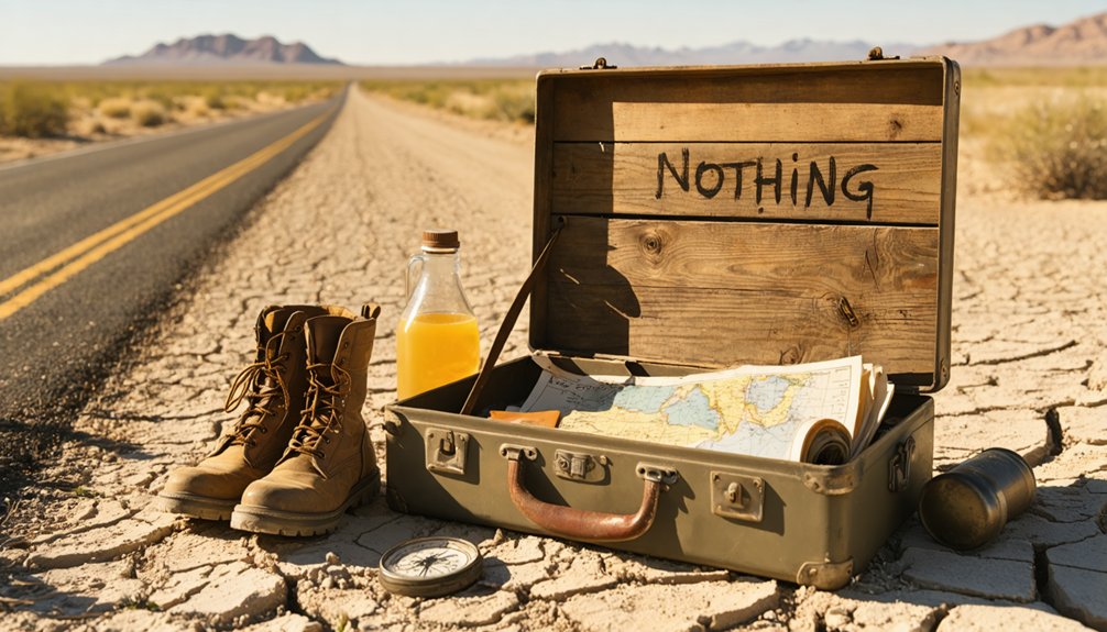
Because Acala sits deep in the Hudspeth County desert with no active stores, no gas stations, and no guarantee of cell service, what you load into your vehicle before leaving matters enormously.
No stores. No gas. No signal. What you pack before you leave isn’t a detail — it’s a lifeline.
Pack at least a gallon of water per person, snacks, a paper map, and a full tank of gas topped off in El Paso or Sierra Blanca.
Bring a camera for wildlife sightings — roadrunners, jackrabbits, and hawks patrol this stretch regularly.
Sturdy shoes help you navigate crumbling foundations without twisting an ankle.
A field guide to local flora lets you identify desert shrubs and grasses framing the old townsite.
Carry a first aid kit, a spare tire, and a portable charger.
Out here, self-sufficiency isn’t optional — it’s the whole point.
How to Add Acala to an El Paso Road Trip
Once your gear is loaded and your tank is full, slotting Acala into an El Paso road trip takes almost no rerouting at all. Sitting roughly 54 miles southeast of El Paso along the old Highway 20 corridor, it’s an easy detour that rewards curiosity.
Here’s how to frame the stop:
- Drive the old route — Skip the interstate briefly and feel how isolation shaped every decision settlers made here.
- Honor historical preservation — Photograph what remains; these structures won’t stand forever.
- Chase local legends — Ask questions, read historical markers, and let the cotton fields and ghost infrastructure tell their story.
You’re not just passing through — you’re witnessing a town that thrived, collapsed, and quietly refused to disappear entirely.
Ghost Towns Near Acala Worth Adding to Your Route
Acala doesn’t have to be your only stop — West Texas is scattered with ghost towns and near-abandoned communities that fit naturally into the same desert corridor.
West Texas doesn’t end at one ghost town — the desert corridor is full of them, waiting to be explored.
Sierra Blanca, about 34 miles southeast, carries its own local legends tied to railroad history and border culture.
Fort Hancock sits closer to the Rio Grande and offers a glimpse into military frontier life.
Marfa, farther west, blends ghost stories with artistic mystique, including the famous unexplained Marfa Lights.
Valentine, a tiny dot on the map along Highway 90, rounds out the route with quiet roadside atmosphere.
String these stops together along the I-10 and Highway 20 corridor, and you’ve built a full West Texas road trip rooted in desert history, agricultural collapse, and open-road freedom.
Frequently Asked Questions
Is There Cell Phone Service or Wi-Fi Available Near Acala, Texas?
Cell service in Acala is a ghost itself — don’t count on reliable cell phone coverage or Wi-Fi availability out here. You’ll want to download maps and embrace the freedom of true digital disconnection before arriving.
Are There Any Entrance Fees or Permits Required to Visit Acala?
You don’t need entrance fees or permits to visit Acala — it’s an open, free-roaming ghost town. Just respect historic preservation efforts and check local regulations, as some abandoned structures may have private ownership restrictions.
Can You Legally Explore or Photograph Abandoned Buildings in Acala?
You’ll want to respect private property and historical preservation laws before exploring or photographing abandoned buildings. Urban exploration regulations vary, so always seek owner permission first — it keeps your adventure legal and protects these irreplaceable desert remnants.
Is Acala, Texas, Considered Safe for Solo Travelers to Visit?
Acala’s quiet desert silence isn’t a warning—it’s an invitation. You’ll find it generally safe for solo travelers, though its isolation demands preparation. Respect historical preservation, heed local legends, and always tell someone your route beforehand.
Are Pets Allowed When Exploring the Acala Ghost Town Area?
You can bring your pets to Acala, but stay mindful of pet policies on private land. Animal safety matters in the harsh desert heat, so keep your furry companion leashed, hydrated, and protected.
References
- https://www.youtube.com/watch?v=Vru7H6lStbA
- https://www.legendsofamerica.com/acala-texas/
- https://en.wikipedia.org/wiki/List_of_ghost_towns_in_Texas
- https://carynschulenberg.com/2024/04/acala-texas/
- https://www.allacrosstexas.com/texas-ghost-town.php?city=Acala
- https://www.youtube.com/watch?v=ga2gpFLD-ps
- https://www.youtube.com/watch?v=yyyHgmfcyfk
- https://www.texasescapes.com/TexasGhostTowns/AcalaTexas.htm
- https://www.ghosttowns.com/states/tx/falba.html
- https://de.frwiki.wiki/wiki/Acala_(Texas)



