Planning a ghost town road trip to Cincinnati, Nebraska means heading roughly 2.5 hours southeast of Omaha into Pawnee County’s quiet countryside. You’ll find overgrown streets, crumbling foundations, and homestead remnants slowly reclaimed by nature. Bring historic railroad maps since modern GPS won’t always find it, and pack water, sturdy boots, and emergency supplies. Nearby vanished communities like Appleton make the journey even richer. There’s far more to uncover about this forgotten frontier town than you’d expect.
Key Takeaways
- Cincinnati, Nebraska, is approximately 2.5 hours southeast of Omaha via Nebraska Highway 50, transitioning to rural roads as you approach.
- Bring historic railroad maps and offline GPS routes, as modern navigation systems may not accurately locate the ghost town.
- Pack essential supplies including water, sturdy boots, a first-aid kit, and a full tank of gas before departing.
- Visible remnants like foundations, graded streets, and overgrown roadbeds make Cincinnati a rewarding destination for ghost town explorers.
- Combine your visit with nearby ghost towns like Appleton and the living town of Table Rock for a fuller experience.
The Rise and Fall of Cincinnati, Nebraska
When Cincinnati, Nebraska first appeared on maps in the late 19th century, it carried the same bold ambitions as dozens of other frontier towns sprouting across Pawnee County’s rolling plains.
Settler optimism fueled its early growth, with land developers platting streets and railroad connections promising commerce and community.
But that promise didn’t last. As agricultural decline tightened its grip after the early 1900s, farms mechanized, populations shrank, and small towns like Cincinnati lost their reason to exist.
Railroad route changes cut off essential supply lines. Post offices closed. Families packed up and moved toward opportunity elsewhere.
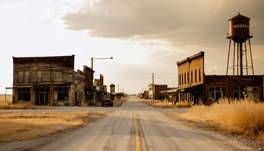
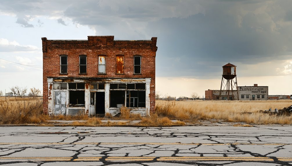
What you’re left with today is a quiet landscape where foundations and overgrown streets tell the story of a town that rose fast, burned bright, and disappeared without much ceremony.
What’s Left of Cincinnati, Nebraska Today
Though Cincinnati has long since faded from Nebraska’s active map, its footprint hasn’t completely vanished. You’ll find building foundations still visible through aerial photography, quietly confirming the town’s historical significance beneath layers of time.
Graded streets, shaded by trees planted by original settlers, hint at what once bustled with frontier ambition. Scattered abandoned structures and homestead remnants likely dot the landscape, partially swallowed by overgrown vegetation.
Former roadbeds remain detectable if you know what you’re looking for, offering tangible proof that real lives unfolded here. The terrain has fundamentally reclaimed Cincinnati, merging ruins organically into the surrounding Nebraska countryside.
Bring curiosity and patience. Walking this land connects you directly to a forgotten chapter, rewarding those willing to explore beyond paved roads and conventional destinations.
How to Get to Cincinnati, Nebraska From Omaha
Reaching Cincinnati, Nebraska from Omaha takes roughly 2.5 hours southeast, threading through Pawnee County‘s quiet rural roads near the Table Rock area.
You’ll head south on Nebraska Highway 50, which keeps your drive connected to recognizable landmarks before you shift onto rural roadways leading deeper into ghost town exploration territory.
Once you leave the highway, the landscape shifts noticeably — wide open fields replace familiar signage, and you’ll feel the freedom of traveling somewhere few people intentionally seek.
Download historic maps before leaving Omaha, because modern GPS often misses these forgotten locations entirely. Aerial photography helps you confirm foundations and graded street remnants once you’re close.
Keep your tank full, bring water, and embrace the deliberate pace — Cincinnati rewards explorers willing to navigate on their own terms.
Nearby Nebraska Ghost Towns Worth Adding to Your Route
Cincinnati doesn’t have to be your only stop once you’re already threading through Pawnee County’s back roads. Layer your route with forgotten settlements that deepen your Pawnee History experience and maximize every mile you’ve committed.
Once you’re threading Pawnee County’s back roads, Cincinnati doesn’t have to be your only stop.
- Appleton Exploration — Wander this nearby vanished community sharing Cincinnati’s railroad-decline story.
- Table Rock vicinity — Anchor your loop around this living town before venturing into abandonment.
- County road remnants — Follow graded streets between sites using historic railroad maps for orientation.
- Oral history checkpoints — Stop at local libraries or county offices to collect firsthand accounts connecting each ghost town.
Stringing these stops together transforms a single destination into a full territorial reckoning, giving you genuine freedom to uncover Nebraska’s buried past on your own terms.
What to Bring When Visiting Cincinnati, Nebraska
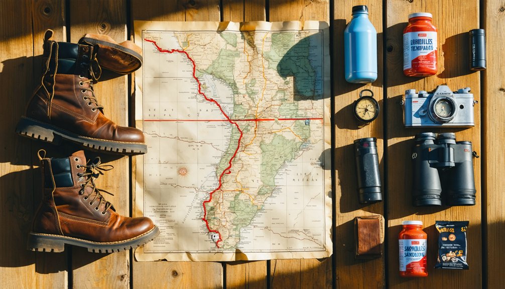
Visiting an isolated ghost town like Cincinnati demands 5 essential categories of gear that can make or break your exploration.
First, navigation tools — historic railroad maps and downloaded offline GPS routes keep you oriented on unmarked rural roads.
Second, protective clothing — sturdy boots and long pants guard against overgrown vegetation covering hidden foundations.
Third, rural photography equipment — a wide-angle lens captures expansive abandoned landscapes while a macro lens documents weathered architectural details up close.
Fourth, emergency supplies — water, a first-aid kit, and jumper cables matter when you’re miles from assistance.
Fifth, documentation tools — a notebook and voice recorder help you capture observations about remaining structures and roadbeds.
Treating ghost town exploration seriously means arriving prepared, so you’re free to focus entirely on discovery.
Frequently Asked Questions
Are There Guided Ghost Town Tours Available in Pawnee County, Nebraska?
“Seek and you shall find” — dedicated guided tours aren’t widely available, but you’ll uncover ghost town history and local folklore through county historical societies, self-guided maps, and passionate locals who’ll enthusiastically share Pawnee County’s secrets.
Can You Legally Camp Overnight Near Cincinnati, Nebraska Ghost Town Ruins?
You’ll need to check local camping regulations before setting up camp near Cincinnati’s ruins. Respecting ghost town etiquette means securing landowner permission, as most surrounding land is privately owned farmland in Pawnee County.
What Is the Best Season to Visit Cincinnati, Nebraska Ghost Town?
Spring’s awakening mirrors Cincinnati’s forgotten spirit—it’s the best time to visit. You’ll uncover foundations and tree-lined streets during seasonal highlights of mild temps, clear skies, and vibrant greenery that frame the ruins beautifully.
Are There Local Historians or Contacts Specializing in Cincinnati, Nebraska History?
You’ll find valuable insights by connecting with Pawnee County’s historical societies, where dedicated researchers preserve local legends and Cincinnati’s forgotten past. They’re your best resource for uncovering untold stories and firsthand accounts of this vanished Nebraska community.
Is Cincinnati, Nebraska Privately Owned Land Requiring Special Visitor Permission?
Over 90% of Nebraska’s ghost towns sit on private land. For Cincinnati history exploration, you’ll likely need landowner permission before visiting. Research ghost town ownership through Pawnee County records to guarantee you’re accessing the site legally.
References
- https://www.onlyinyourstate.com/trip-ideas/nebraska/ne-ghost-towns-road-trip
- https://www.youtube.com/watch?v=l3s2qhSxis8
- https://history.nebraska.gov/finding-nebraskas-ghost-towns/
- https://en.wikipedia.org/wiki/List_of_ghost_towns_in_Nebraska
- https://www.youtube.com/watch?v=oa7MVDq-wo4
- https://www.youtube.com/watch?v=QJ-Y9CkMsgg


