Planning a ghost town road trip to Coolidge, Wisconsin means heading about 8 miles north of Phillips into Price County’s dense north woods. You’ll want old USGS maps and current Wisconsin DOT maps to pinpoint this forgotten settlement, since almost nothing remains above the forest floor. Use Coolidge Lake as your navigational anchor, pack water and a physical map, and check road conditions before you go. There’s far more to uncover than you’d expect.
Key Takeaways
- Coolidge, Wisconsin, a ghost town in Price County, sits approximately 8 miles north of Phillips, which serves as your ideal base camp.
- Use old USGS maps cross-referenced with current Wisconsin DOT maps to accurately locate the subtle, forest-integrated townsite near Coolidge Lake.
- Pack water, a physical map, and a basic toolkit, as cell coverage is limited; late summer and fall offer the most reliable access.
- Check Price County backroad conditions before departing by contacting the highway department or using Wisconsin’s 511 service for current updates.
- Extend your itinerary by visiting nearby abandoned settlements like Catawba and Kennan, using old county maps to locate additional ghost towns.
What Is Coolidge, Wisconsin’s Ghost Town?
Tucked away in Price County, Wisconsin, Coolidge is a ghost town that most travelers have never heard of — and that’s exactly what makes it worth seeking out.
Nestled within the town of Fifield near Coolidge Lake, this forgotten settlement sits roughly 8 miles north of Phillips.
Coolidge history is sparse but telling — it once functioned as a small north-central Wisconsin community before fading into abandonment.
Once a quiet north-central Wisconsin community, Coolidge faded into abandonment — leaving behind more questions than answers.
What’s remarkable is that its name persisted on USGS maps as late as 1941 and still appears on Wisconsin Department of Transportation maps today.
For anyone drawn to ghost town exploration, that lasting cartographic presence signals something worth investigating.
You’re not chasing ruins of a major city — you’re uncovering a quiet, overlooked piece of Wisconsin’s past hiding in plain sight.
Where Exactly Is Coolidge Located in Price County?
You’ll find Coolidge tucked into the town of Fifield in Price County, sitting roughly 8 miles north of Phillips at coordinates 45°48′42″N, 90°24′29″W.
Coolidge Lake serves as your most reliable landmark when you’re traversing the area’s rural backroads.
If you pull up a Wisconsin Department of Transportation map, you’ll spot the name still marked there, a quiet reminder that this vanished settlement hasn’t been entirely forgotten.
Pinpointing Coolidge’s Exact Coordinates
Finding Coolidge on a map takes a little patience, but the coordinates lock it down precisely: 45°48′42″N, 90°24′29″W, placing it in the town of Fifield in Price County, about 8 miles north of Phillips.
Pull up a mapping app, punch in those numbers, and you’ll land near Coolidge Lake, which serves as your most reliable ground-level landmark.
Understanding these coordinates matters beyond simple navigation. They anchor the ghost town’s origins to a specific slice of north-central Wisconsin wilderness, giving its historical significance a physical address rather than a vague regional reference.
The site still appears on Wisconsin Department of Transportation maps, so you’re not chasing a rumor. You’re following a documented location that’s been quietly holding its place on paper long after the community disappeared.
Proximity To Phillips, Wisconsin
Once you’ve got those coordinates saved, it helps to frame Coolidge’s position relative to a town you can actually stop in for gas and groceries.
Phillips sits roughly 8 miles south of the old townsite, making it your natural base camp. Rooted in Phillips history as a Price County hub, it offers modern amenities that Coolidge never will again.
You’ll head north from Phillips on rural backroads, watching the landscape shift from small-town streets into dense Wisconsin forest.
As Coolidge anecdotes suggest, the settlement quietly faded without dramatic fanfare, leaving Coolidge Lake as the most reliable landmark you’ll recognize.
Keep Phillips on your itinerary for fuel and supplies before pushing north, because once you’re out there, convenience disappears fast.
Read Old Maps to Pinpoint the Coolidge Ghost Town Site
When you’re hunting for a ghost town with little left on the ground, old maps become your most reliable guide.
You can cross-reference historic USGS maps, which marked the Coolidge site as late as 1941, against current Wisconsin Department of Transportation maps to triangulate the vanished townsite with surprising precision.
Pull up both versions side by side, anchor your search on Coolidge Lake, and you’ll quickly see how the settlement’s footprint aligns with the modern landscape.
Comparing Historic And Modern Maps
Old maps are your best tools for tracking down a ghost town like Coolidge, and pairing a historic USGS quad sheet with a current Wisconsin Department of Transportation map reveals just how much the landscape has—and hasn’t—changed.
The USGS marked Coolidge as late as 1941, giving you a reliable anchor point for rural exploration. Pull up that historic sheet and you’ll spot the settlement’s footprint near Coolidge Lake.
Then overlay a modern DOT map to see which roads and historic landmarks still align with their earlier positions. You’ll notice the name persists even as the community vanished. That contrast tells you exactly where to focus your search.
Bring both maps on your drive so you can cross-reference features in real time rather than guessing once you’re on Price County backroads.
USGS References For Coolidge
USGS quad sheets give you something no modern GPS app can match: a paper trail straight to Coolidge’s former footprint. The site appeared on USGS maps as late as 1941, confirming its historical significance well into the twentieth century.
Pull up the relevant quad sheet online through the USGS Historical Topographic Map Explorer, then search Price County near the town of Fifield. You’ll spot Coolidge marked near its namesake lake, approximately 8 miles north of Phillips.
Cross-reference those USGS maps against current Wisconsin Department of Transportation maps, and you’ll notice the name persists even today. That overlap tells you exactly where to point your vehicle.
Old government cartography hands you precision that crowdsourced navigation simply can’t replicate for forgotten places like this.
Locating The Vanished Townsite
Tracking down a vanished townsite starts with layering your map sources. Pull up the historic USGS references alongside a current Wisconsin Department of Transportation map, then compare what’s shifted and what hasn’t.
Coolidge Lake remains your anchor point — it hasn’t moved, and it’ll guide you into the right corridor north of Phillips for your rural exploration.
Once you’re oriented, look for subtle ground-level clues: old road traces, clearings, or boundary lines that don’t quite match the surrounding landscape. Ghost town history rarely announces itself with standing structures.
You’re reading the land as much as the map. Cross-referencing both sources keeps you precise rather than guessing. Treat this layered approach as your compass, and Coolidge’s location becomes far less elusive.
How to Get to Coolidge From Phillips, Wisconsin
Just 8 miles separate you from the ghost town of Coolidge once you’re standing in Phillips, Wisconsin.
Head north from Phillips into Price County’s backcountry, keeping Coolidge Lake on your radar as your primary landmark. The rural roads threading through the town of Fifield will carry you into territory where ghost town history quietly lingers beneath the tree line.
Don’t expect polished signage or a marked trailhead. This is genuine rural exploration, where your best tools are a Wisconsin Department of Transportation map and the geographic coordinates 45°48′42″N 90°24′29″W.
Seasonal road conditions can shift quickly on Price County backroads, so check conditions before departure. Once you reach the lake’s vicinity, you’ve fundamentally arrived at what remains of Coolidge’s forgotten footprint.
Plan Your Road Trip Around Phillips as Your Base
Phillips punches well above its weight as a road trip base, offering the kind of small-town infrastructure that makes backcountry exploration genuinely comfortable.
You’ll find fuel, food, and lodging here before pushing north toward Coolidge, roughly eight miles up the road.
Build your road trip itineraries around Phillips as a reliable anchor point. From there, you can branch out freely into Price County’s rural backroads, folding Coolidge into a broader loop that includes forested corridors and lake-area scenic detours without overcomplicating your day.
Because Coolidge itself has no services, leaving Phillips with a full tank and packed supplies keeps your options open.
Treat this ghost town as one satisfying stop within a larger north-central Wisconsin itinerary rather than a standalone destination requiring separate logistics.
Use Coolidge Lake to Find the Townsite
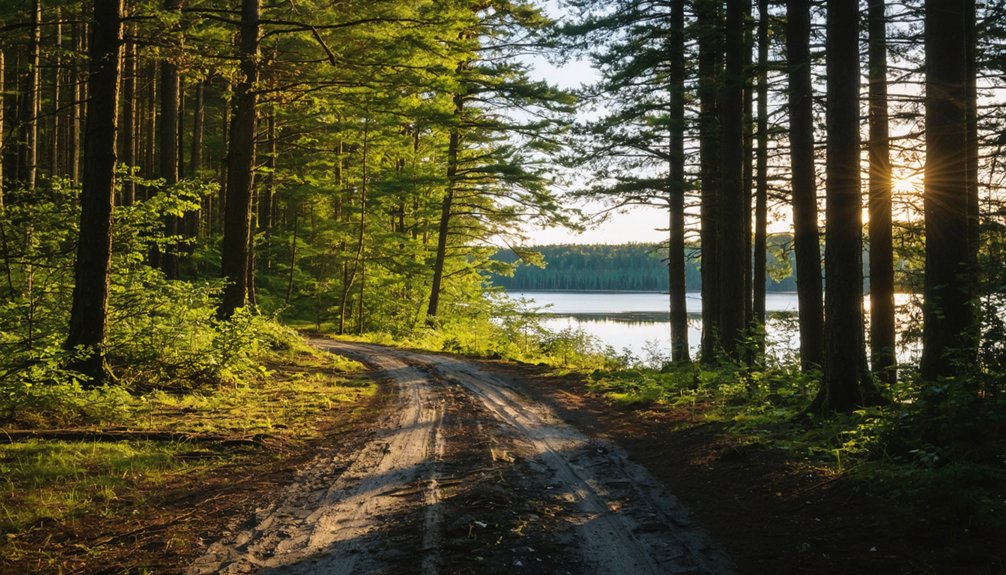
Because Coolidge left almost nothing standing, Coolidge Lake becomes your most reliable anchor when you’re steering toward the townsite. Pull up a Wisconsin Department of Transportation map, locate the lake, and you’ve effectively pinpointed where this ghost town once stood.
Ghost towns like Coolidge reward explorers who read landscapes carefully. The water doesn’t lie — it’s been here longer than the settlement and will orient you when road signs fall short.
Once you’ve found the lake, scan the surrounding terrain for subtle ground disturbances, old clearings, or tree lines that break unnaturally.
The lake activities that draw modern visitors — fishing, kayaking, quiet shoreline walks — now define this place more than any remnant structure ever could.
Let the water guide you where history has otherwise gone silent.
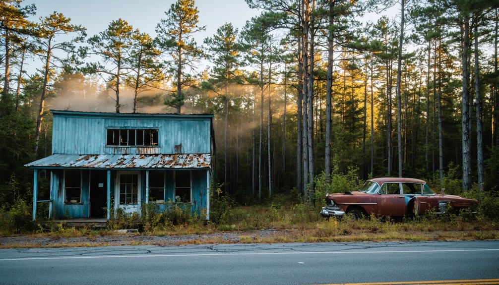
What Remains at the Coolidge Townsite Today
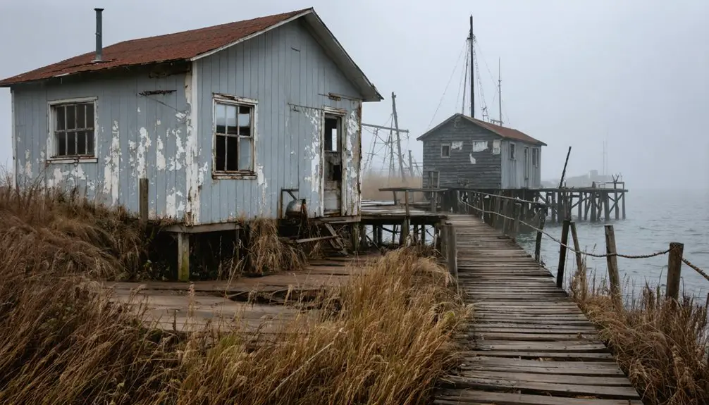
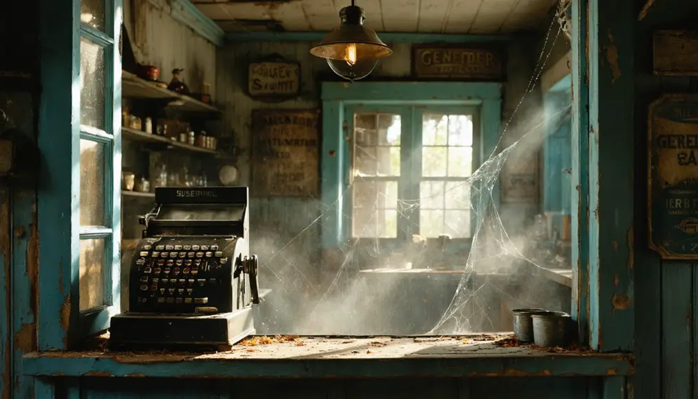
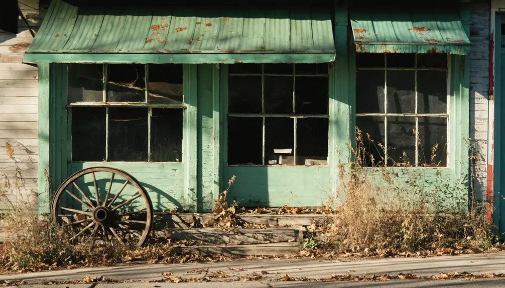
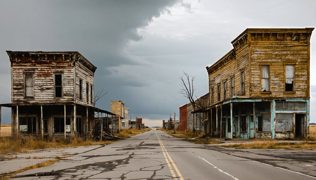
Few ghost towns strip expectations down to bare earth quite like Coolidge does. You won’t find preserved abandoned structures or dramatic ruins waiting here. The townsite is subtle, folded into the surrounding forest, and easy to overlook without old maps in hand.
Few ghost towns strip expectations down to bare earth quite like Coolidge does — subtle, folded into forest, easy to overlook.
What you’re really chasing is atmosphere, a quiet patch of Price County where a community once held its ground and then simply vanished.
Local legends may color what neighbors and history buffs tell you about the area, so ask around in Phillips before you head north. Bring your USGS map references and compare them against what you actually see.
The experience rewards curious, independent travelers who find meaning in absence itself, in the silence where a Wisconsin settlement once stood.
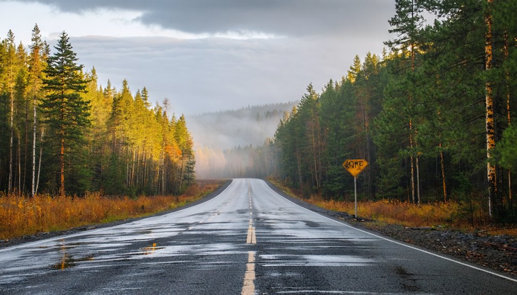
Stay Safe on Price County’s Backroads
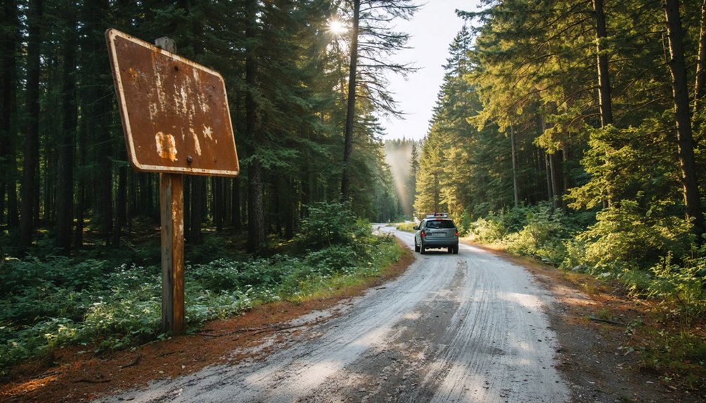
Before you leave Phillips heading north toward Coolidge Lake, check the condition of Price County’s backroads, because rural Wisconsin routes can shift dramatically with the seasons.
Smart backroad navigation keeps your trip moving and your vehicle intact.
Follow these safety tips before you roll out:
- Check road conditions — Contact Price County’s highway department or use Wisconsin’s 511 travel service for current updates on unpaved routes.
- Pack essentials — Carry water, a physical map, and a basic toolkit, since cell coverage disappears fast in north-central Wisconsin’s forests.
- Time your visit wisely — Spring thaws and early winter freezes make backroads treacherous, so late summer and fall typically offer the most reliable access.
Own your adventure, but respect the terrain.
Wisconsin Ghost Towns Near Coolidge Worth a Detour
While Coolidge makes a satisfying ghost-town stop on its own, north-central Wisconsin holds enough abandoned settlements nearby that you can string together a compelling day trip through Price County’s forgotten past.
Rural Wisconsin rewards explorers who dig into old county maps before hitting the road. Ghost town exploration here means watching for overgrown foundations, faded road names, and lake-area landmarks that once anchored small logging communities.
Towns like Catawba and Kennan sit within reasonable driving distance and carry their own layered histories. Use the Wisconsin Department of Transportation maps alongside USGS historical references to pinpoint sites accurately.
Keep your itinerary flexible, since backroad conditions shift seasonally. Treat each stop as a short detour, and you’ll cover surprising ground without burning an entire day.
Frequently Asked Questions
Is Coolidge, Wisconsin Different From the Coolidge Ghost Town in Montana?
Two ghost towns, 1,500 miles apart — yes, they’re completely different places! In your Coolidge history research, you’ll find Wisconsin’s version sits in Price County, making any Montana comparison irrelevant to your north-central Wisconsin road trip adventure.
What Is the Best Time of Year to Visit Price County Backroads?
Summer’s your best season for exploring Price County backroads, when dry roads and local events make every rural mile an adventure. You’ll navigate easily, soak up Wisconsin’s wild scenery, and discover Coolidge’s ghostly past without battling harsh conditions.
Are There Any Visitor Services or Amenities Near the Coolidge Townsite?
You won’t find visitor amenities or local services at the Coolidge townsite itself, so stock up in nearby Phillips before heading out. It’s your best hub for fuel, food, and supplies!
Do I Need Permission to Access the Coolidge Ghost Town Site?
Absolutely verify ghost town regulations before you set foot there — it’s the most critical step ever! Check access permissions with Price County authorities, as land ownership varies wildly and trespassing laws apply strictly to abandoned Wisconsin sites.
What Are the Geographic Coordinates for the Coolidge, Wisconsin Ghost Town?
You’ll find Coolidge’s ghost town history at 45°48′42″N, 90°24′29″W. These coordinates drop you near Coolidge Lake, where local legends echo through Price County’s forgotten landscape, inviting you to explore Wisconsin’s vanished past freely.
References
- https://en.wikipedia.org/wiki/Coolidge
- https://silverbowclub.com/coolidge-ghost-town/
- https://www.facebook.com/groups/333827440359540/posts/1880692739006328/
- https://www.islands.com/2103211/coolidge-montana-historic-ghost-town-abandoned-beauty-hidden-mountains-woodlands/
- https://southwestmt.com/ghosts/ghost-towns/coolidge/
- https://myitchytravelfeet.com/coolidge-ghost-town/
- https://hikearizona.com/decoder.php?ZTN=23304
- https://www.youtube.com/watch?v=_Ycdn92DhE0
- https://www.reddit.com/r/abandoned/comments/171lw99/an_entire_abandoned_town_in_montana_coolidge/
- http://www.jimmyutah.com/hiking/tag/Coolidge+Ghost+Town