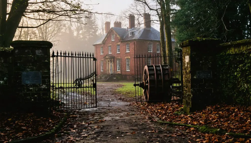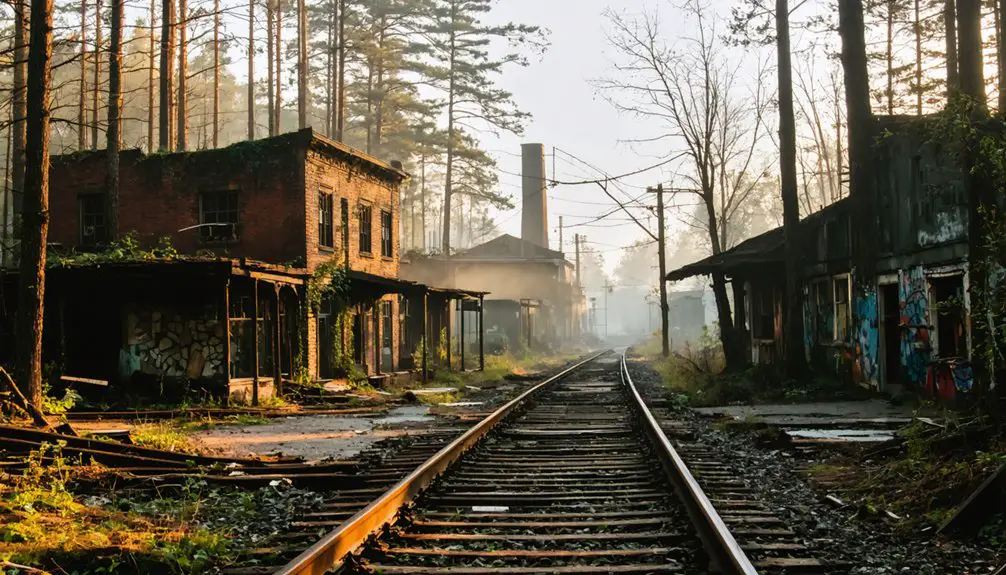
Planning a road trip to Foul Rift means heading to White Township, Warren County, where you’ll find one of New Jersey’s most haunting ghost towns along the Delaware River. Start at the trailhead, roughly two miles south of Belvidere, and follow the 4-mile loop trail past crumbling brick foundations and thundering Class II rapids. A community stood here for 268 years before floods and time finally erased it — and there’s far more to this story.
Key Takeaways
- Foul Rift is located in White Township, Warren County, New Jersey, approximately two miles south of Belvidere.
- Use coordinates 40°48′08″N 75°05′52″W to navigate precisely to the trailhead for your road trip.
- A 4-mile loop trail along the riverbank offers access to the ghost town’s scattered brick foundations.
- Floods between 2004 and 2006 destroyed most structures, with PPL Corporation removing the last buildings in 2008.
- Visitors can spot local wildlife like herons and deer while exploring unique limestone ledges and crumbling ruins.
What Makes Foul Rift’s Rapids the Most Dangerous on the Delaware River?
The rapids at Foul Rift aren’t just rough water — they’re a concentrated stretch of geological fury that’s earned a serious reputation among paddlers and river historians alike.
You’re looking at Class II rapids stretching from mile 196.3 to 196.7, where the Delaware River drops 22 feet over just half a mile across a limestone ledge. That’s a dramatic descent packed into a tight corridor.
River navigation here demands respect. At high water, the narrower sections become genuinely treacherous, elevating rapids safety from a suggestion to a survival necessity.
Experts consistently rank this stretch as the most dangerous on the entire Delaware River system — and they mean it. If you’re planning to paddle through, research current water levels before you ever launch your boat.
How Floods Erased a 200-Year-Old New Jersey Community Overnight
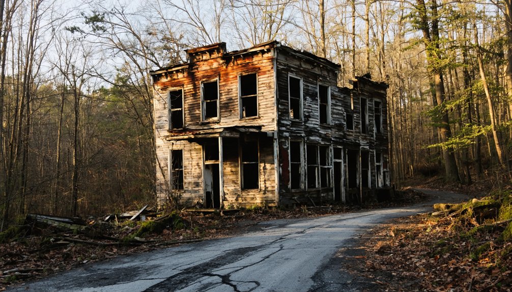
What floods can do to a community isn’t always a slow fade — sometimes it’s an erasure. Foul Rift’s story captures that flood impact brutally. Settlers had built their lives here since 1740, transforming riverside campsites into a working community of fishermen and mill workers.
Then the floods came. The catastrophic 1955 flood triggered early abandonments, but the series of floods between 2004 and 2006 delivered the final blow — destroying 24 cottages and leaving only four standing.
The 1955 flood cracked the community open. The floods of 2004–2006 finished what it started.
PPL Corporation eventually removed those remaining structures in 2008. What took 200 years to build vanished almost overnight.
Community resilience couldn’t outrun the Delaware River’s rage. When you walk these trails today, you’re stepping through a neighborhood the river simply reclaimed, foundations and scattered bricks its only remaining testimony.
The Ghost Town That Survived Until 2008: Foul Rift’s Final Years
After the 2004–2006 floods wiped out 24 cottages, only four structures remained standing at Foul Rift — a stubborn handful of buildings clinging to a riverbank that had already swallowed everything else.
PPL Corporation owned those final four cottages, and in 2008, they removed them entirely. That decision ended 268 years of community resilience and erased the last physical proof of historical significance along that stretch of the Delaware.
What you’ll find there now tells the real story:
- Scattered brick foundations where families once built lives
- Crumbling remnants that nature is slowly reclaiming
- Silence where a working settlement once thrived
Foul Rift didn’t fade — it was methodically dismantled, leaving you to piece together its story from rubble and riverbank alone.
How to Reach Foul Rift and Find the Trailhead
Reaching Foul Rift means traversing to White Township, Warren County, New Jersey, where the community once sat on the Delaware River’s east bank roughly two miles south of Belvidere.
Use coordinates 40°48′08″N 75°05′52″W for precise navigational tips when planning your route.
Once you’ve arrived, locate the trailhead connecting to the 4-mile loop trail that traces the riverbank past the infamous Class II rapids.
You’ll move freely through open terrain, spotting local wildlife like herons and deer along the water’s edge.
The trail eventually leads you toward the foot of a power generating plant, where foundation remnants and scattered bricks mark what was once a thriving riverside community.
Wear sturdy footwear, pack water, and stay alert near the riverbank’s unpredictable edges.
Ruins, Rock Formations, and Rapids: What the Trail Reveals Today
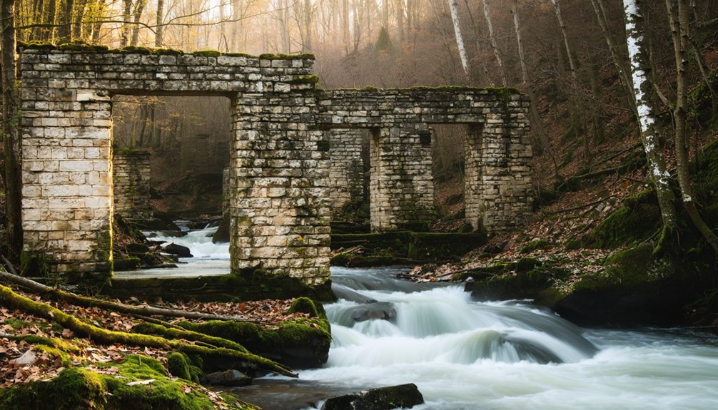
Once you set foot on the trail, Foul Rift reveals itself in layers—crumbling foundations half-swallowed by riverside vegetation, jagged limestone ledges jutting from the water, and the relentless churning of Class II rapids that stretch nearly half a mile along one of the Delaware River’s most notorious stretches.
These trail discoveries connect you to lives erased overnight by floodwaters. The natural beauty here is raw, untamed, and humbling.
Look for these emotional anchors along the route:
- Brick remnants and foundation outlines where 24 families once called home
- Thundering rapids descending 22 feet over limestone—dangerous, powerful, and completely free
- Unique rock formations sculpted by centuries of river force, indifferent to human plans
Nothing here is polished. That’s exactly the point.
Frequently Asked Questions
What Time Zone Does Foul Rift, New Jersey Observe Throughout the Year?
You’ll find that Foul Rift, New Jersey, observes the Eastern time zone year-round. You’re on UTC−05:00 during standard time, but when daylight savings kicks in, you’ll spring forward to UTC−04:00.
Who Originally Surveyed the Land Where Foul Rift Was Settled in 1740?
Ironically, you can thank William Penn’s land surveyor history for Foul Rift’s 1740 early settlement challenges — Penn’s surveyed land, once mapped for prosperity, ultimately became a ghost town you’re now road-tripping to explore freely!
What GNIS Feature ID Is Assigned to Foul Rift, New Jersey?
You’ll find that Foul Rift, New Jersey carries the GNIS Feature ID 876430, a number that locks in its Historical Significance and Geographic Features, anchoring this hauntingly wild Delaware River community permanently on freedom-seekers’ maps.
How Far South of Belvidere Is the Foul Rift Community Located?
You’re just 2 miles south of bustling Belvidere, yet you’ve found silence — Foul Rift’s ghost town history awaits your road trip tips list, sitting quietly on the Delaware River’s east bank, forgotten but unforgettable.
What Were the Primary Occupations of 19TH Century Foul Rift Settlers?
You’ll find that 19th century Foul Rift settlers thrived as fishermen and grain mill workers, unlike farming practices or mining operations elsewhere. They embraced the river’s bounty and industry, carving out independent, self-sufficient lives along Delaware’s wildest waters.
References
- https://en.wikipedia.org/wiki/Foul_Rift
- https://kids.kiddle.co/Foul_Rift
- https://www.youtube.com/watch?v=CNzLeOWeG8A
- https://nj1015.com/new-jersey-ghost-towns/
- https://www.youtube.com/watch?v=QMb2Qg5aGvY
- https://pinelandsalliance.org/learn-about-the-pinelands/pinelands-history-and-culture/ghost-towns-of-the-pine-barrens/