Planning a ghost town road trip to Hoboken, California puts you at the center of one of history’s most dramatic boom-bust stories. In 1853, Sacramento’s broken levees released floodwaters stretching 22 feet high, forcing merchants to build a canvas city along the riverbank almost overnight. Today, you’ll find only open ground at coordinates 38°33′28″N 121°25′04″W, but the silence speaks volumes. Nearby ghost towns like Tragedy Springs add even more depth to your journey ahead.
Key Takeaways
- Hoboken, California, established in 1853, originated as a flood-driven tent city near Sacramento, making it a fascinating ghost town destination.
- The site sits at coordinates 38°33′28″N 121°25′04″W, easily accessible via river-adjacent roads close to Sacramento City.
- No structures remain at Hoboken today, leaving only open ground that reflects its rapid rise and abandonment.
- There is no signage marking the ghost town, so travelers should prepare navigation tools and account for seasonal flooding conditions.
- Nearby ghost towns like Tragedy Springs and Maiden’s Grave can be combined into one enriching Sacramento County road trip.
What Was Hoboken, California?

When Sacramento’s levees broke in 1853 and floodwaters surged to 22 feet, merchants didn’t simply wait for the chaos to pass — they packed up and moved.
That bold decision sparked Hoboken’s origins as a scrappy tent city along the river’s edge, where businessmen from the Norristown area erected makeshift shops almost overnight.
River steamers rerouted past Sacramento, docking directly at Hoboken’s landing and keeping commerce alive.
You’d have found a buzzing, temporary hub of trade — canvases stretched tight, goods changing hands, and survival instincts driving every transaction.
But this freedom had an expiration date.
Once Sacramento’s floodwaters receded, merchants abandoned their tents just as quickly as they’d raised them.
Hoboken vanished from daily life, leaving behind nothing but muddy ground and a fascinating story.
How Did the 1853 Sacramento Floods Create Hoboken?
The 1853 Sacramento floods didn’t just displace merchants — they rewrote the region’s commercial geography in a matter of days. When levees broke and waters surged to 22 feet, the flood impact forced river steamers to bypass Sacramento entirely, redirecting them to a new landing that would become Hoboken.
The 1853 floods didn’t just damage Sacramento — they erased it from the map overnight.
Businessmen from Norristown wasted no time responding, building a tent city almost overnight:
- Canvas storefronts replacing brick-and-mortar shops swallowed by floodwaters
- River steamers unloading goods onto muddy, makeshift docks
- A drawbridge groaning under the weight of desperate commercial traffic
You’re fundamentally visiting the birthplace of crisis-driven entrepreneurship.
When Sacramento’s mud dried, merchants packed up and left, abandoning Hoboken as quickly as they’d built it — a true boom-bust story etched into California’s Gold Rush legacy.
Where Is Hoboken, California, and How Do You Get There?

Tucked into Sacramento County at coordinates 38°33′28″N 121°25′04″W, Hoboken sits close enough to Sacramento City that you won’t need a grueling backcountry expedition to find it — but you’ll need to know where you’re looking.
Use the Hoboken location coordinates to plug into your GPS or GIS mapping tools before you hit the road. Travel directions from Sacramento are straightforward, following river-adjacent roads toward the landing site where steamers once docked.
You won’t find signage marking the spot — ghost towns rarely advertise themselves. Check seasonal conditions before heading out, since the surrounding area stays flood-prone during winter months.
Pair your visit with nearby Tragedy Springs or Maiden’s Grave to build a fuller Gold Rush corridor route worth your time and fuel.
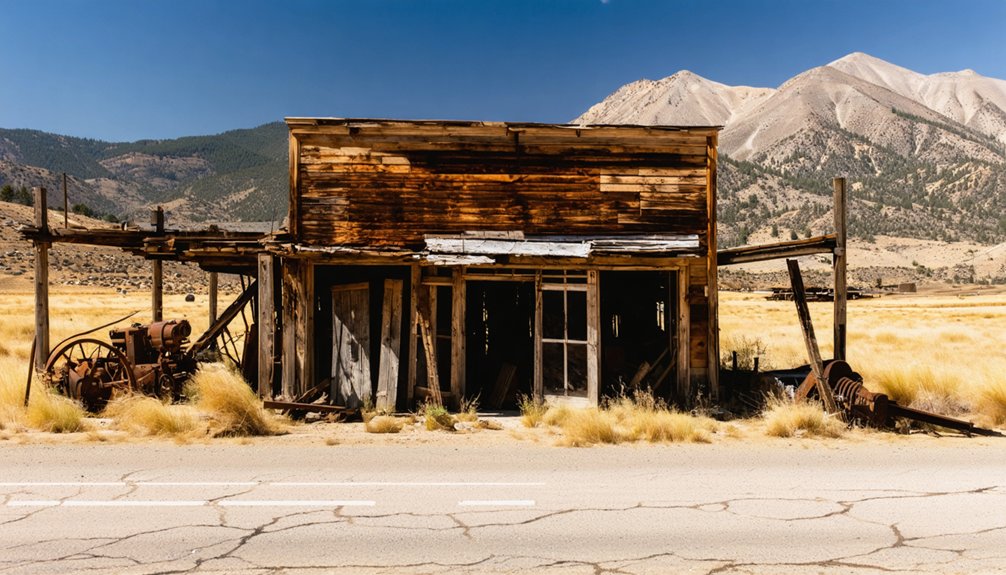
What Does the Hoboken Ghost Town Site Look Like Today?
Arriving at Hoboken today, you’ll find nothing but open ground — no foundations, no fences, no faded signage hinting at what once stood here. The abandoned structures that once buzzed with Gold Rush commerce have completely vanished, leaving raw Sacramento County landscape in their place.
Nothing remains at Hoboken — no foundations, no traces, just open Sacramento County earth where Gold Rush commerce once thrived.
No historic markers commemorate the tent shops or the sinking drawbridge that once signaled this site’s brief, restless energy.
Picture the scene as you stand there:
- Flat, open terrain stretching toward the river’s edge
- Dry earth where merchants once hustled beneath canvas rooftops
- Quiet skies replacing the noise of redirected steamships
You’re fundamentally reading land that’s forgotten its own story. That erasure is part of the experience — raw, unfiltered history with nothing between you and your imagination.
What Other Ghost Towns Are Near Hoboken?
Hoboken doesn’t stand alone in Sacramento County’s graveyard of Gold Rush ambitions — several other ghost towns sit within striking distance, each carrying its own collapsed story.
Your ghost town exploration gains serious depth when you add nearby sites like Tragedy Springs and Maiden’s Grave to your route. These locations carry raw, unfiltered history that no museum can replicate.
Tragedy Springs earned its name through genuine frontier violence, while Maiden’s Grave marks a quieter, equally sobering chapter of westward migration.
Early 1900s trail markers connect these sites, giving you a physical thread to follow across the landscape. You’re not just visiting abandoned coordinates — you’re tracing an entire era’s rise and collapse across open ground, on your own terms, without guardrails telling you how to feel about it.
Frequently Asked Questions
What Is the Best Time of Year to Visit Hoboken?
Spring and fall offer the best weather for your Hoboken adventure! You’ll dodge nature’s liquid theatrics by avoiding winter floods, and seasonal events in Sacramento make these sun-kissed months perfect for exploring freely.
Are There Guided Tours Available for Hoboken Ghost Town Visits?
You won’t find formal guided tours at Hoboken’s ghost town site, but you can explore independently, combining nearby trails and GIS mapping tools to uncover guided experiences that deliver rich historical insights into Gold Rush-era history.
What Should Visitors Bring When Exploring the Hoboken Ghost Town Site?
You’ll want to pack hiking gear for rugged terrain, camera essentials to capture barren remnants, historical maps to navigate the ghostly coordinates, and local snacks to fuel your freedom-filled adventure through Sacramento County’s forgotten Gold Rush history.
Is the Hoboken Ghost Town Site on Public or Private Land?
The knowledge doesn’t confirm whether it’s public or private land, but Hoboken history’s ghost town legends invite your free-spirited exploration. You’ll want to verify land access locally before venturing out to this abandoned, structureless site.
How Long Does a Typical Hoboken Ghost Town Road Trip Take?
You’ll spend roughly half a day exploring Hoboken’s site, though there aren’t any abandoned buildings left standing. Combine it with nearby trails, soak up local legends, and you’re free to roam at your own pace.
References
- https://www.hmdb.org/m.asp?m=52709
- https://www.rickyshistoricaltidbits.com/articles/hoboken-the-city-that-seized-the-day
- https://storymaps.arcgis.com/stories/124e04142d3147078fb4519a6b9a5c64
- https://journeywithmurphy.com/2017/07/the-gold-mining-ghost-town-of-bodie-ca/
- https://nvtami.com/2022/06/05/on-the-hunt-human-remains-detection-dogs/
- https://www.youtube.com/shorts/xpNGm1VT0iE
- https://en.wikipedia.org/wiki/List_of_ghost_towns_in_California
- https://www.bodiehistory.com/badman.htm


