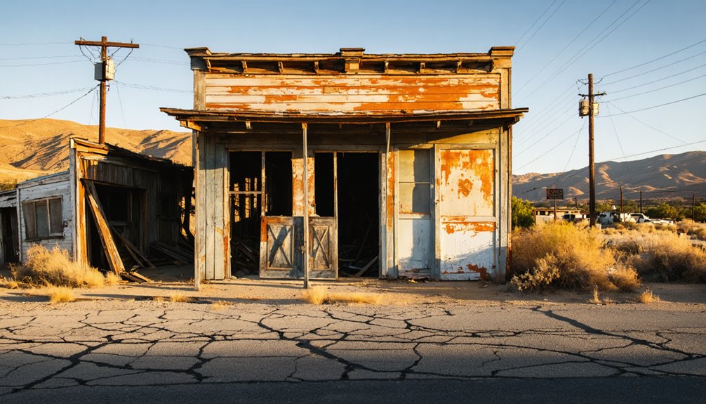
Planning a ghost town road trip to Hodson, California means trading modern comfort for rugged back roads west of Copperopolis, where a once-thriving gold rush settlement produced millions in ore before fading into the foothills. You’ll find roofless ruins, rusted equipment half-swallowed by brush, and serpentine fault zones that still whisper geological secrets. Bring a high-clearance vehicle, confirm land ownership beforehand, and respect preservation laws. Everything you need to explore Hodson responsibly is just ahead.
Key Takeaways
- Hodson lies a few miles west of Copperopolis; travel west on Copper Cove Drive, then follow winding back roads through rolling foothills.
- A high-clearance vehicle is recommended for dirt side roads leading toward old mine sites, as roads can be slick after rain.
- Cell service is limited; plan early, inform others of your route, and proceed cautiously through the rugged terrain.
- Much of the land is privately owned; verify land ownership through Calaveras County records and carry permits for BLM parcels.
- Never enter abandoned mine shafts, leave artifacts untouched, and respect preservation laws to ensure a safe, legal visit.
What’s Left of Hodson’s Gold Rush Past
Once a thriving gold rush settlement in southwestern Calaveras County, Hodson’s left you almost nothing to find. Buildings have vanished, swallowed by fields or water, leaving the land eerily reclaimed by nature. You won’t stumble across many historical artifacts here — the town has dissolved into silence.
Yet the earth beneath your boots tells a different story. Underground tunnels once carved by determined miners still thread through the hills, reaching inclined depths of several thousand feet. The Royal mine alone generated over $5 million in gold, a staggering legacy hiding beneath quiet soil.
Venture beyond the townsite and you might discover neglected nearby ruins — roofless structures standing as stubborn reminders of an era when gold fever drove men to reshape this rugged Sierra Nevada landscape entirely.
The Royal Mine and Other Operations That Put Hodson on the Map
During Hodson’s peak years in the 1890s and early 1900s, the Royal mine stood as the district’s crown jewel, pulling over $5 million in gold from the earth and cementing the settlement’s reputation across the Sierra Nevada gold belt.
You’re tracing mining history shaped by remarkable geological features — serpentinized fault zones, quartz veins carrying free gold, and massive gray ore bodies stretching thousands of feet through greenstone and schist.
The Mountain King Mill added another $1 million to Hodson’s legacy, later processing Copperopolis copper ore during World War II.
Operations reached inclined depths of several thousand feet, with miners chasing high-grade pockets alongside disseminated auriferous pyrite.
When you stand on this land today, you’re standing where serious, large-scale extraction once roared with ambition and consequence.
What Does Hodson Look Like Today?
Where Hodson’s mines once thundered with industrial ambition, you’ll now find silence and near-total erasure. The land has quietly reclaimed what miners left behind, swallowing buildings, roads, and ambition alike beneath grass and time.
Don’t expect dramatic ghost town remnants here. Hodson offers no preserved storefronts or weathered saloons waiting for your camera. Buildings have collapsed, disappeared, or vanished beneath rising water. The earth shows little evidence that thousands of boots once worked this ground.
Occasionally, nearby neglected sites reveal roofless structures — fragments of historical artifacts stubbornly resisting complete erasure. These scattered remnants reward the adventurous traveler willing to search carefully.
Hodson demands imagination more than observation. You’re not touring ruins — you’re reconstructing a vanished world from almost nothing, which makes finding any surviving trace feel genuinely earned.
How to Get to Hodson From Copperopolis
You’ll find Hodson just a few miles west of Copperopolis, making it an easy side trip along your Sierra Nevada gold country route.
From Copperopolis, head west on Copper Cove Drive, following the same rough terrain that gold seekers once traveled to reach the Royal Mine‘s rich ore pockets.
The roads are mostly paved but narrow, so watch for tight turns and give yourself extra time if you’re pulling a trailer or driving a large vehicle.
Driving From Copperopolis
Since Hodson sits just a few miles west of Copperopolis, the drive is short but steeped in gold rush history. Head west from Copperopolis on Hwy 4, then follow the back roads cutting through rolling foothills that once rattled with wagon wheels and prospectors’ ambitions.
The landscape hasn’t forgotten its past — keep your eyes open for scattered historical artifacts and rusted mining equipment half-swallowed by brush along the roadside. You’re fundamentally tracing the same routes that hauled gold out of this country during the 1890s boom years.
The drive gives you breathing room to absorb the terrain before arriving at what’s left of Hodson itself — which, fair warning, isn’t much. That’s exactly what makes this road trip worth taking.
Road Conditions And Access
Knowing the route is one thing — knowing what the road throws at you is another. The roads west of Copperopolis are mostly paved but narrow, winding through oak-studded foothills where shoulders disappear without warning. After rain, patches turn slick and unpredictable, so check conditions before you roll out.
A high-clearance vehicle gives you options if you venture onto dirt side roads leading toward old mine sites. Those rough tracks occasionally reward patience — you might stumble across historical artifacts half-swallowed by brush or preserved structures standing stubborn against time.
Don’t count on cell service once you’re deep in the hills.
Go early, move deliberately, and tell someone your route. This land doesn’t punish the prepared — it punishes the careless.
Copperopolis, Salt Springs Valley, and Other Stops Nearby
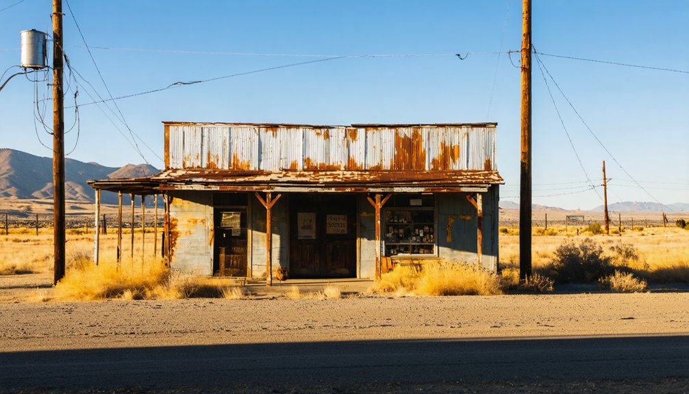
While you’re in the area, don’t pass up Copperopolis, a once-booming copper mining hub that supplied Union forces during the Civil War and still retains a handful of historic buildings worth exploring.
From there, you can trace the lode-gold belt stretching northwest through Salt Springs Valley, a roughly 10-mile corridor that once hummed with mining activity and connects Hodson’s story to the broader region’s rich history.
Round out your road trip by tracking down nearby mines like the Butcher Shop, Empire, and Gold Knoll, each adding another layer to the Sierra Nevada gold belt‘s remarkable past.
Exploring Copperopolis Today
Though Hodson itself has faded into the earth, the surrounding area still pulses with gold rush history worth exploring. Copperopolis, just a few miles east, gives you a tangible connection to that era. Walk its historic town square, where mining artifacts and historical landmarks remind you that fortunes were once carved from this rugged landscape.
During World War II, copper ore from Copperopolis was processed at the Mountain King Mill, adding another layer to the region’s industrial story. You’ll find preserved architecture, local shops, and a genuine small-town atmosphere that rewards the curious traveler.
Don’t rush through. Let the landscape speak. The same hills that drove thousands of prospectors westward still stand, weathered but proud, waiting for those bold enough to seek them out.
Salt Springs Valley Overview
Stretching northwest from Hodson’s vanished streets, a belt of lode-gold deposits runs nearly 10 miles through Salt Springs Valley, tracing the same geological fault line that once drew miners, speculators, and dreamers to this corner of Calaveras County.
The valley’s geological formations tell stories older than California statehood. Early mining technology evolved here from simple placer pans to deep inclined shafts reaching thousands of feet. Explore the region with purpose:
- Follow the fault zone northwest toward Salt Springs Valley
- Study serpentinized rock outcroppings near the Hodson fault corridor
- Locate remnants of quartz veins carrying free gold deposits
- Trace the Mariposa Formation’s slate beds along the western slopes
This landscape rewards the curious traveler willing to read the earth itself.
Other Nearby Mining Sites
Beyond Hodson’s quiet absence, a constellation of mining sites fans out across Calaveras County, each carrying its own chapter of California’s gold story. Drive toward Copperopolis, where copper ore once fed the Mountain King Mill during World War II — historical markers still anchor the memory of that industrial surge.
Nearby, the Butcher Shop, Empire, Gold Knoll, Gold Metal, and Pine Log mines scatter across the landscape like forgotten punctuation marks. You’ll find rusted mining equipment half-swallowed by brush, silent witnesses to the district’s productive 1890s peak.
Salt Springs Valley connects these sites through a northwest-trending gold belt stretching roughly ten miles. This isn’t a manicured heritage trail — it’s raw California terrain demanding curiosity, navigation, and a willingness to read the land itself.
Permits, Private Land, and Safety Rules for Visiting Abandoned Mine Sites
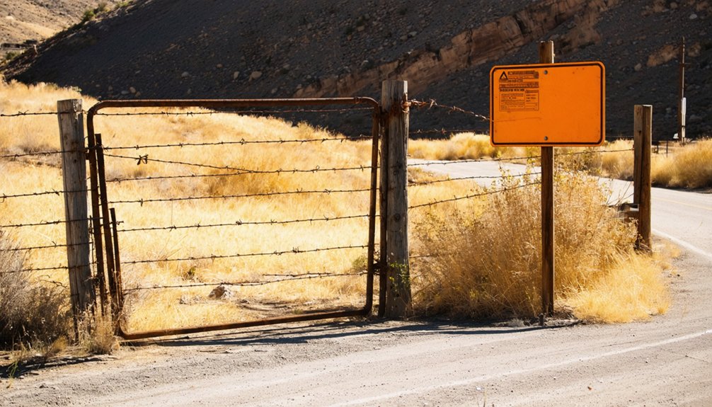
Before you set foot on the rugged terrain around Hodson, you’ll need to confirm whether the land is privately owned — and much of it is.
Historical preservation and legal restrictions govern these forgotten grounds, so do your homework before chasing gold-rush ghosts.
Follow these four rules before exploring:
- Check land ownership through Calaveras County records before entering any property.
- Never enter abandoned mine shafts — unstable timbers and toxic gases kill without warning.
- Carry permits if accessing Bureau of Land Management parcels within the district.
- Leave artifacts untouched — removing historical items violates federal preservation laws.
Hodson’s silence deserves respect.
The freedom to explore comes with responsibility — tread carefully, stay legal, and let this vanished town keep its dignity intact.
Frequently Asked Questions
What Were the Exact Coordinates of Hodson’s Original Town Center?
Like a faded map, Hodson’s exact coordinates sit at 37°59′48″N 120°41′08″W — you’ll find no old town architecture remains, just local ghost stories whispering where freedom-seekers once chased golden dreams.
Why Was Hodson Historically Referred to as the Felix District?
The records don’t reveal why it earned the Felix District name, but you’ll find ghost town legends surrounding Hodson’s abandoned structures paint a rich, adventurous history worth exploring as you chase California’s wild, gold-rush freedom.
What Specific Minerals Make up the Gray Ore Found at Hodson?
The gray ore’s mineral composition spans 500 feet wide! You’ll discover ore mineralogy packed with disseminated free gold, auriferous pyrite, and minor sulfides—ancient treasures locked in mineralized schist and greenstone, waiting for bold explorers like you.
Did Hodson Have a Post Office or Official Town Government?
The knowledge doesn’t confirm if Hodson had a post office or town government, but you’ll find its ghost town tourism history fascinating. Explore these historical landmarks where a once-thriving mining community boldly carved freedom from California’s rugged Sierra Nevada wilderness.
How Deep Did Mining Operations Actually Reach at Hodson’s Mines?
Mining operations plunged several thousand feet deep! You’d marvel at how those fearless miners, using rudimentary mining machinery and bold ore extraction techniques, drilled inclined shafts into Hodson’s earth — practically hacking freedom from solid rock with grit rivaling today’s power tools.
References
- https://en.wikipedia.org/wiki/List_of_ghost_towns_in_California
- https://kids.kiddle.co/List_of_ghost_towns_in_California
- https://www.facebook.com/californialandmarkfoundation/videos/california-ghost-town-bodie-california-is-one-of-the-best-preserved-boomtowns-fr/1639090977198276/
- https://magazine.frva.com/2006/02/01/californias-liveliest-ghost-town/
- https://discover.hubpages.com/travel/Ghost-Towns-in-California
- https://westernmininghistory.com/library/294/page1/
- https://www.visitcalifornia.com/road-trips/ghost-towns/
- https://www.youtube.com/watch?v=nLDgQEDm5j4
- https://en.wikipedia.org/wiki/Hodge



