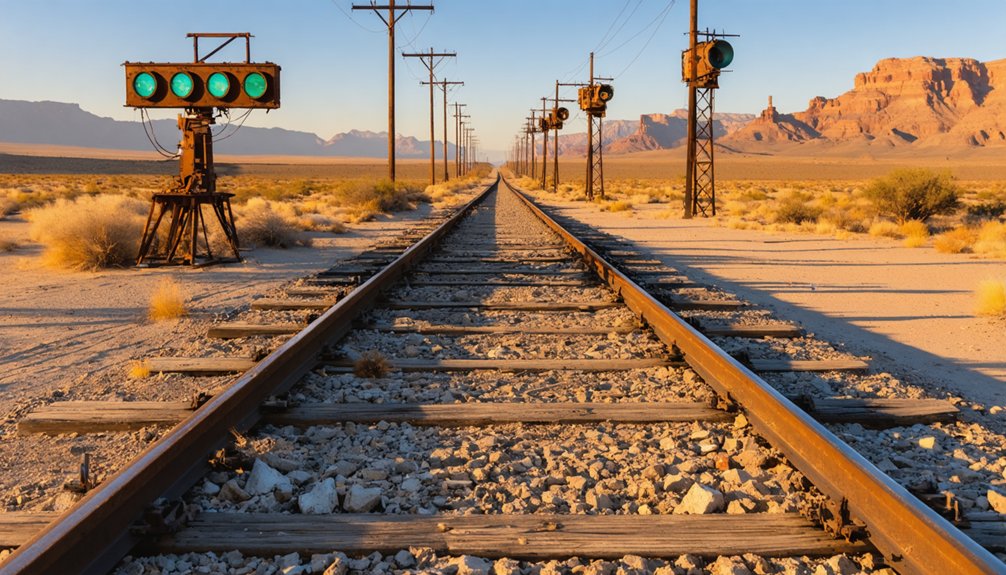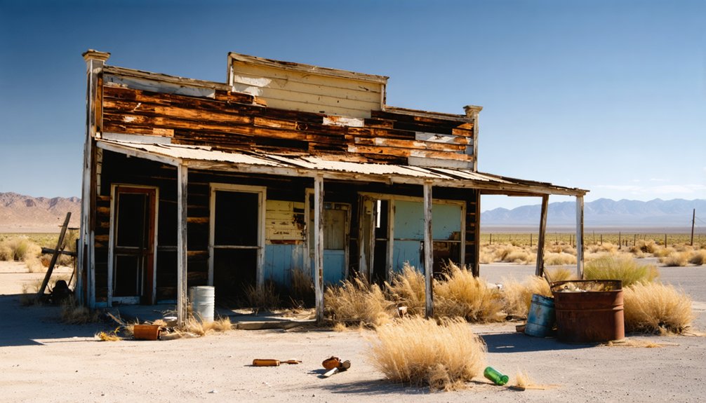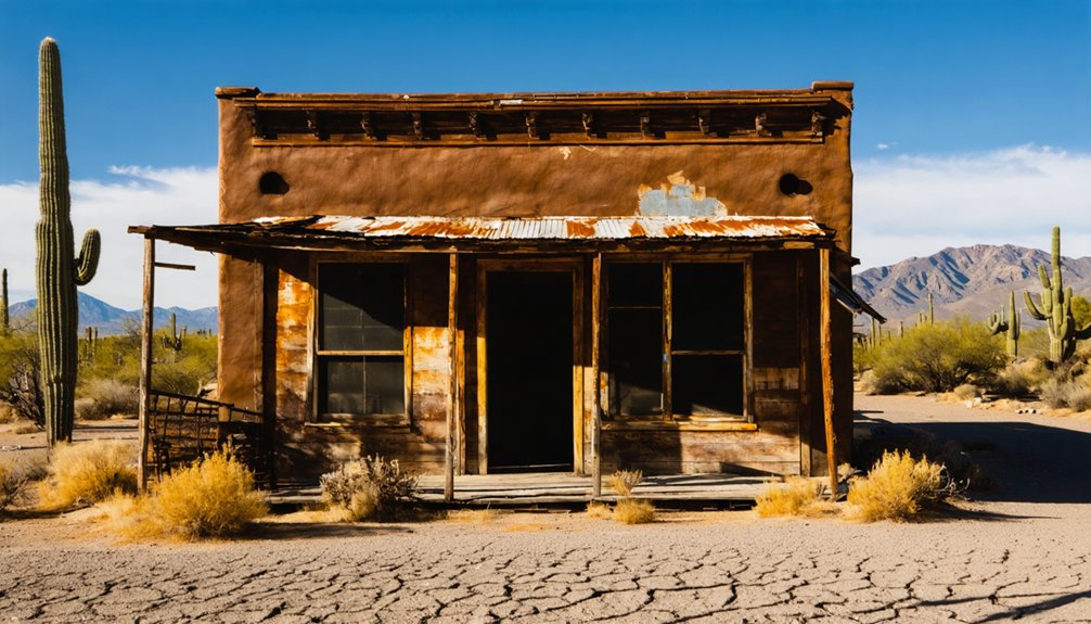
Starting in Prescott, you’ll head south on Senator Highway toward Maxton, where crumbling foundations and rusted ore tracks reveal a mining community that once thrived around the Senator Mine. Spring and fall offer the best conditions for exploring the Hassayampa River corridor, though the site’s accessible year-round. You’ll walk among mill remnants and scattered artifacts without needing a guided tour. Pack sturdy boots, plenty of water, and offline maps before you go—there’s far more to this ghost town than first meets the eye.
Key Takeaways
- Start your trip in Prescott, heading south on Senator Highway, accessible by 2WD vehicles, following the scenic Hassayampa River corridor.
- Explore Maxton’s surface ruins, including ore tracks, foundations, and mill remnants, but never enter dangerous mine shafts stretching 835 feet deep.
- Spring and fall offer ideal hiking conditions; summer morning visits are recommended to avoid heat in this rugged, shade-limited terrain.
- Pack essential gear including sturdy boots, offline maps, two-plus liters of water, a first-aid kit, and sun protection.
- Extend your trip by visiting nearby ghost towns Mayer, Humboldt, and Cordes for a full day of Arizona mining history.
Why Maxton Is Worth a Stop on Senator Highway
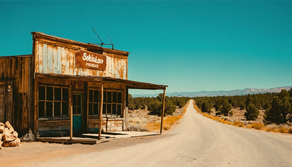
If you’re cruising Senator Highway south of Prescott, Maxton is one stop that rewards the curious traveler. This ghost town site pulls you into Arizona’s raw mining history without requiring anything more than a sense of adventure and a reliable vehicle.
You’ll find historical artifacts scattered across the landscape — ore tracks still cutting toward the old mine entrance, crumbling foundations from Max Alwen’s store, and rusting equipment frozen in time along the Hassayampa River corridor.
Maxton’s mining history stretches back to the 1860s, giving you layers of story packed into a single roadside stop. Whether you’re chasing lead and zinc legends or just soaking in the canyon scenery, Maxton delivers the kind of unfiltered, open-road experience that makes ghost town road trips worth every mile.
The Senator Mine: Lead, Zinc, and 835 Feet Underground
At the heart of Maxton’s story sits the Senator Mine, and once you understand its scale, the ghost town makes a lot more sense. Discovered in the 1860s, the mine became the engine behind Maxton’s entire town development, pulling workers, families, and businesses into this rugged canyon.
Miners chased lead and zinc primarily, with silver and copper running as secondary rewards. By 1881, the Senator Shaft had already pushed 200 feet down. It didn’t stop there. Operations eventually drove the shaft to an impressive 835 feet, with tunnels stretching over three miles into the surrounding mountains.
That mining history explains why hotels, saloons, a church, and a school all appeared here. When you visit, you’ll still see ore tracks cutting toward the mine entrance from Senator Highway.
How the Town Grew From Tent Camp to Community
Before the hotels and church steeples, Maxton was nothing more than a rough cluster of tents, a saloon, a store, and a boarding house clinging to the steep banks of the Hassayampa River. Then investment arrived, and the 1890s transformed the camp entirely.
Before the hotels and steeples, Maxton was only tents, a saloon, and a store.
You can trace this evolution through the mining history embedded in every foundation stone still visible along the site. Phelps Dodge purchased the mine and poured resources into the community, funding hotels, restaurants, additional saloons, a church, and a school.
A dam rose on the Hassayampa River to supply water for both operations and residents.
The historical artifacts scattered across the landscape today quietly tell this story — a tent camp that briefly became a real town before the ore ran out and silence returned.
How to Reach Maxton Along the Senator Highway
You’ll start your journey in Prescott, heading south along the Senator Highway, a scenic route that winds through rugged terrain toward the Hassayampa River corridor. The road is accessible by 2WD vehicle, making the drive manageable, but you’ll want to stay alert as the highway hugs steep canyon banks near the mine site.
Once you’ve parked, expect to hike down from the canyon side to reach the most significant remnants of Maxton’s mining past.
Starting Point: Prescott
Prescott serves as your natural jumping-off point for the drive to Maxton, sitting just a short stretch north of the ghost town along the Senator Highway. Stock up on supplies before you head out, because once you leave town, you’re trading convenience for open road and raw desert landscape.
The Senator Highway winds south through Yavapai County, cutting through terrain that feels genuinely remote. As you get closer to the Hassayampa River corridor, the canyon walls tighten and the elevation shifts noticeably.
You’re driving toward a site loaded with historical artifacts and mining relics that tell a story stretching back to the 1860s. Prescott keeps your options open — fuel up, grab food, and hit the road on your own schedule.
Navigating Senator Highway
The Senator Highway runs south from Prescott directly to the Maxton site, and it’s a straightforward drive that doesn’t require four-wheel drive. The route follows the Hassayampa River corridor, rewarding you with rugged canyon scenery and glimpses of local wildlife along the way. Weather patterns here stay mild both in summer and winter, making this road trip accessible nearly anytime you’re ready to go.
Keep these tips in mind before you head out:
- Check seasonal conditions — afternoon monsoons in summer can affect road surfaces temporarily
- Watch for wildlife crossing the highway, especially at dawn and dusk
- Note the ore tracks visible from the road near the mine entrance — they signal you’ve arrived
Once you spot those tracks, Maxton is right there waiting.
Parking And Trail Access
Once you spot the ore tracks near the mine entrance, pull off Senator Highway and park where the road widens along the canyon edge. No formal trailhead marks the spot, so trust your instincts and the visible remnants guiding you forward.
From the canyon side, you’ll hike down toward the Hassayampa River corridor, where historical artifacts like mill foundations, mining equipment, and Max Alwen’s old store foundation emerge from the brush.
Local legends tied to the Senator Mine’s boom years feel alive when you’re standing among the ruins. Watch your footing on the steep banks, and stay out of the mine shafts themselves — the tunnels stretch over three miles and pose serious risks.
This site rewards careful, curious explorers willing to walk it on its own terms.
What Time of Year Is Best for the Drive?
Maxton enjoys a mild climate year-round, so you can realistically plan your Senator Highway drive in any season. Each season offers a distinct experience as you explore historical artifacts and evidence of early mining techniques scattered across the site.
- Spring and fall deliver comfortable temperatures perfect for hiking down into the canyon to reach the mine remnants.
- Summer stays mild at elevation, though you’ll want to start early and carry water for canyon-side exploration.
- Winter remains accessible on 2WD roads, and the bare trees actually improve your sightlines to foundations and equipment.
No single season locks you out, which means your schedule drives the decision. Pick the window that fits your road-trip plans and head out on your own terms.
Mine Equipment, Foundations, and Ore Tracks Still Standing
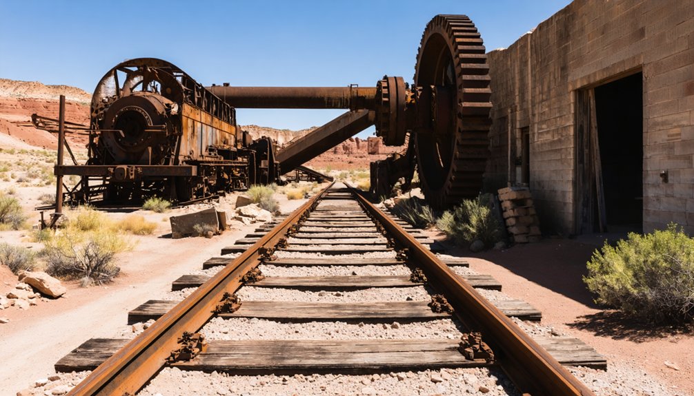
What’s left at Maxton isn’t just rubble — you’ll find ore tracks still running into the mine entrance, visible right from the Senator Highway. Those tracks alone tell you more about mining history than most museum exhibits ever could.
Walk the site and you’ll spot old equipment, crumbling foundations, and the remnants of Max Alwen’s store, each piece a fragment of ghost town preservation that time hasn’t fully erased.
The mill site sits nearby, and the Hassayampa River corridor ties the whole landscape together.
One firm rule: stay out of the mine shafts. They’re unstable and dangerous, no matter how tempting a closer look might be. Respect the site, keep your distance from openings, and let the visible remnants tell the story on their own terms.
Ore Tracks and Mill Remnants You Can Walk Today
As you walk the Senator Highway, you’ll spot ore tracks still running into the mine entrance — a raw reminder of the operation that once kept this canyon humming.
The mill site, positioned roughly a mile away along Hassayampa Creek, offers its own set of remnants worth seeking out.
You don’t need special gear to explore these features, just your own two feet and a sharp eye for the details hiding along the roadside.
Ore Tracks Still Visible
One of the most tangible connections to Maxton’s mining past is right along the Senator Highway: the ore tracks leading into the Senator Mine are still visible today. These mining relics pull you straight into the 1800s without any effort. You don’t need a guided tour — just your eyes and a sense of curiosity.
As you explore, watch for:
- Ore tracks cutting toward the mine entrance, worn but unmistakable against the landscape
- Old foundations scattered across the steep Hassayampa River banks, marking where workers once lived and worked
- Equipment remnants left behind when operations finally wound down in the 1930s
Stay on the surface, though. Entering the mine shafts is genuinely dangerous, so take your photos from a safe distance and move on.
Mill Site Remnants
About a mile down the Hassayampa Creek corridor from the main mine workings, the ten-stamp mill site gives you something different to take in — a place where raw ore became something worth shipping. The foundations and scattered equipment left behind are genuine historical artifacts, not reconstructions. You’re walking ground where miners processed lead, zinc, silver, and copper pulled from deep inside those mountains.
What you see reflects decades of use and abandonment, not a curated exhibit. Preservation efforts here are minimal, which means the site stays raw and honest — exactly the kind of experience road-trippers seeking open country tend to want. Take your time, look closely, and respect what’s left. These remnants won’t last forever, and no restoration crew is coming to save them.
Walking The Highway
The mill site pulls your attention down toward the creek, but the Senator Highway itself holds something worth turning back for. Along the road, you’ll spot ore tracks still embedded near the mine entrance — historical artifacts left exactly where miners once pushed loaded carts out of the mountain.
Walking this stretch gives you a firsthand look at raw mining technology without hiking far from your vehicle:
- Ore tracks running toward the mine opening
- Stone foundations outlining former structures along the slope
- Equipment remnants scattered across the steep Hassayampa riverbank
You don’t need a guided tour or a permit. Just pull over, read the landscape, and let the site speak for itself. Stay out of the mine openings — the ground doesn’t forgive curiosity underground.
Why You Should Never Enter the Mine Shafts at Maxton
While the ore tracks disappearing into the mountainside at Maxton make for an irresistible photo, you should never follow them inside. Mine safety isn’t bureaucratic caution — it’s survival logic.
These shafts reach depths of 835 feet, with tunnels stretching over three miles through unstable ground that’s been deteriorating for decades.
At 835 feet deep and three miles long, Maxton’s tunnels are vast, unstable, and have been deteriorating for decades.
The exploration risks are real and unforgiving. Rotted support timbers can collapse without warning, oxygen levels drop dangerously in sealed chambers, and hidden vertical shafts wait just beyond your flashlight’s reach. No photograph or adventure story is worth a fatal fall or suffocation.
Stay on the surface, where the ore tracks, equipment, foundations, and mill remnants tell the full story of Maxton’s past. You’ll experience everything worth seeing without gambling your life to do it.
Nearby Ghost Towns Worth Adding to Your Senator Highway Route
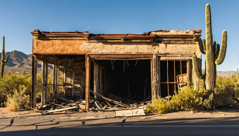
Maxton rewards careful, surface-level exploration — and so does the Senator Highway stretching around it. You’re already on one of Arizona’s richest mining history corridors, so keep driving and see what else you can uncover.
A few nearby stops worth adding to your route:
- Mayer – A small former mining town where historical artifacts and early settlement remnants still surface throughout the area.
- Humboldt – Once a smelter hub tied directly to regional ore processing, it connects deeply to the broader mining history of Yavapai County.
- Cordes – A quiet ghost town site with foundations and relics that tell a straightforward story of boom-and-bust Arizona settlement.
Each stop builds on what you’ve already seen at Maxton, turning a single visit into a full day of discovery.
What to Bring When You Visit Maxton and the Senator Highway
Pack sturdy boots before you head out, since the steep banks of the Hassayampa River and rough terrain around the mine workings will punish anything less than solid ankle support.
You’ll also want a paper map or downloaded offline route alongside a basic first-aid kit, because cell service along the Senator Highway can disappear without warning.
Carry more water than you think you’ll need and layer up with sun protection, since the exposed canyon setting offers little shade during peak daylight hours.
Sturdy Footwear Essentials
Exploring the steep banks of the Hassayampa River and the rocky terrain around the Senator Mine means you’ll want a solid pair of hiking boots before you go. The canyon-side hike demands ankle support and reliable grip, especially when you’re weaving around historical artifacts, scattered foundations, and rusted mining equipment.
Choose footwear that handles these specific challenges:
- Ankle support – uneven ground near mine shafts and ore tracks makes rolled ankles a real risk
- Thick soles – sharp rock and debris surround the old mill and equipment areas
- Waterproofing – creek crossings along the Hassayampa corridor can surprise you
Don’t underestimate how rugged this site gets. The right boots keep you moving freely, safely, and confidently through one of Arizona’s most rewarding ghost town landscapes.
Navigation and Safety Gear
Good boots get you to the site—the right navigation and safety gear keeps you from getting lost on the way there. Senator Highway winds through rugged Yavapai County terrain, and cell service disappears fast, so download offline maps before you leave Prescott. Carry a paper topographic map as backup.
Pack a flashlight even if you don’t plan to enter structures. You’ll want it for examining historical artifacts in shadowed foundations and mill ruins. A first aid kit belongs in your daypack without question.
Local legends about the Senator Mine’s miles of tunnels tempt curious explorers, but unstable shafts make entering them genuinely deadly. Photograph from outside only.
Finally, bring plenty of water—the Hassayampa corridor runs dry in spots, and the canyon offers no guarantees.
Water and Sun Protection
Hydration always earns its weight when you’re steering the Senator Highway and hiking down toward Maxton’s canyon-side remnants. Arizona’s sun hits hard whether you’re visiting in mild winter or mild summer, and dehydration sneaks up fast when you’re focused on historical artifacts scattered across old foundations and ore tracks.
Pack smart before you leave the pavement:
- Water: Carry more than you think you need — at least two liters per person for canyon-side exploration
- Sunscreen and hat: Exposed terrain offers little shade near the mill and mine equipment
- UV-protective eyewear: Reflected light off rocky surfaces strains your eyes during extended site walks
Visitor safety depends on preparation you handle before arriving. Nobody’s running a supply store at a ghost town.
Frequently Asked Questions
Who Was Max Alwen, and Why Is the Town Named After Him?
Like a merchant planting roots in wild soil, Max Alwen ran the town store, leaving his mark on ghost town history. You’ll find his name woven into mining legends — Maxton honors his first name.
Did Phelps Dodge Operate Any Other Mines Along the Senator Highway?
The knowledge doesn’t confirm if Phelps Dodge operated other mines along the Senator Highway, but you’ll find its mining history rich around Maxton. Explore the area’s ghost town preservation—you’re sure to uncover fascinating remnants worth discovering!
How Long Did the Maxton Post Office Actually Remain Open?
Brief as a whisper, Maxton’s post office stayed open just 3 years and 7 months—from July 6, 1901, to February 15, 1905. You’ll appreciate this detail when exploring ghost town tourism and historic preservation efforts there.
Was a Church or School Ever Built at Maxton During Its Peak Years?
Yes, you’ll find that during Maxton’s peak 1890s boom, both a church and school rose among its ghost town legends — now abandoned structures standing as powerful reminders of a thriving community you can still explore today.
Did the 1903 Labor Strike Permanently Shut Down the Senator Mine?
No, the 1903 labor strike didn’t permanently shut it down! Mining history shows the Senator Mine’s operations continued intermittently into the 1930s, proving that even powerful labor strikes couldn’t fully silence this resilient Arizona treasure.
References
- http://www.apcrp.org/SENATOR_MAXTON/Lost_in_Plain_Sight.htm
- https://www.ghosttowns.com/states/az/maxton.html
- https://www.blm.gov/visit/swansea-historic-ghost-town
- https://en.wikipedia.org/wiki/List_of_ghost_towns_in_Arizona
- http://www.apcrp.org/VENEZIA/Venezia_MAST.htm
- https://janmackellcollins.wordpress.com/category/arizona-history-2/page/2/
- http://bradshawmountains.com/senator_mine.htm
- https://www.arizonahighways.com/article/arizona-ghost-towns