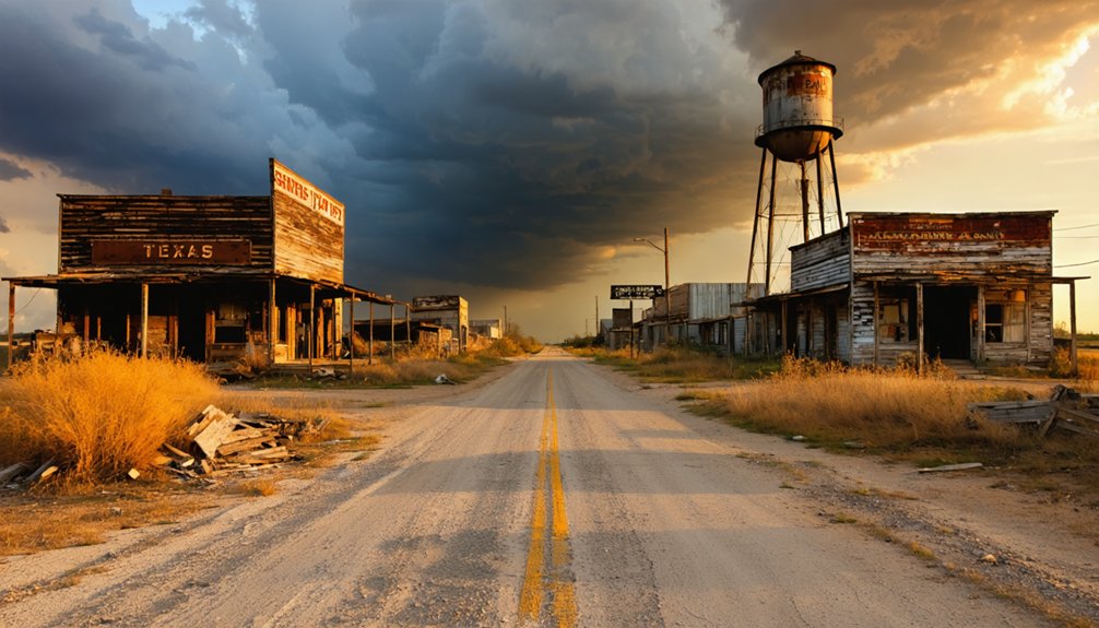
Planning a ghost town road trip to Cincinnati, Texas means trading road signs for old maps and sharp eyes. This vanished Walker County settlement didn’t burn or flood — it simply faded when roads shifted and traffic moved on. Start from Huntsville, follow the Old Cincinnati Road corridor, and let the landscape do the talking. Depressions, tree lines, and old roadbed traces are your landmarks now. Stick around, because there’s far more to uncover.
Key Takeaways
- Cincinnati, Texas, in Walker County, faded gradually due to rerouted roads, leaving no dramatic ruins but a historically rich landscape to explore.
- Start your trip from Huntsville, using Old Cincinnati Road as your navigational corridor and referencing historical maps alongside modern satellite imagery.
- Search Texas General Land Office archives and county maps to locate surviving Old Cincinnati Road segments before heading into the field.
- Expect no standing structures at the site — look instead for depressions, old roadbeds, and vegetation breaks as evidence of the former settlement.
- Combine Cincinnati with other vanished Walker County settlements to build a fuller, layered ghost town road trip through rural Texas.
Why Cincinnati, Texas Disappeared From the Map
Once a modest but functional settlement in Walker County, Cincinnati, Texas didn’t vanish overnight — it faded as the transport corridors that once gave it purpose shifted and moved on. That’s the quiet tragedy behind its settlement decline. When roads reroute and traffic patterns change, towns lose their reason to exist.
You’re looking at a place whose historical significance lies not in dramatic destruction but in gradual erasure. No fire, no flood — just the slow withdrawal of travelers, commerce, and community as newer routes bypassed the old Cincinnati Road corridor connecting Huntsville to the settlement.
What remains is a landscape that rewards curious, independent travelers like you — people willing to read the terrain, trace a forgotten roadbed, and reconstruct a story that mainstream tourism completely ignores.
How to Drive to Cincinnati, Texas From Huntsville
Starting in Huntsville, you’ll want to orient yourself around the Old Cincinnati Road corridor, which traces the historic backroad connection between the town and the long-faded settlement of Cincinnati in Walker County.
Pull up historical maps before you leave — they’ll show you how the original route diverged from modern highways and cut through the rural landscape. Road tracing becomes essential here because contemporary signage won’t guide you the way a nineteenth-century traveler would’ve been guided.
Look for the named Old Cincinnati Road segment still visible on county maps, and cross-reference it with satellite imagery for the clearest picture.
Drive during daylight so you can read the terrain as you go. The route rewards patience and preparation far more than spontaneity.
How to Find Old Cincinnati Road Today
Finding Old Cincinnati Road today takes a mix of old maps and modern tools — neither alone will get you there reliably. Start with historical mapping resources like the Texas General Land Office archives, where early survey plats often show road alignments that vanished from modern charts long ago.
Finding Old Cincinnati Road demands old maps and modern tools — neither works alone.
Cross-reference those findings with current satellite imagery or LiDAR-based terrain data to spot subtle landscape traces — slight depressions, cleared corridors, or vegetation breaks that outline the old roadbed.
Road reconstruction efforts have identified at least one surviving segment still labeled Old Cincinnati Road on county maps near Huntsville. Search that name directly in mapping apps before you leave home.
Once you’re in the field, slow down and read the land. The road won’t announce itself — you’ve got to look for it.
What You’ll Actually See When You Get There?
When you pull up to Cincinnati, Texas, don’t expect a cluster of weathered storefronts or a rusted water tower marking the spot — what’s left here is subtler than that. You’re reading the land itself. The real draw is historic road traces, where the old roadbed still pressed into the terrain tells a quieter story than any standing structure could.
Landscape interpretation becomes your main tool here. You’ll notice slight depressions, tree lines following old corridors, and named road segments that survived long after the community vanished. Bring a historical map and compare it against what you’re standing on — that contrast is the experience.
This isn’t a destination you photograph and leave. It’s one you study, feel, and carry with you as a piece of erased Texas history.
Other Walker County Ghost Towns Worth Adding to the Route
Cincinnati, Texas doesn’t have to be your only stop — Walker County holds enough erased history to fill an entire day’s drive. The county once supported multiple small settlements that quietly disappeared as roads shifted and populations moved on.
You’ll find scattered abandoned buildings and forgotten historic landmarks tucked along rural routes if you’re willing to explore beyond the main highways.
Add stops that trace the county’s broader settlement pattern — old church sites, vanished community centers, and roadbed traces similar to what Cincinnati left behind. Research historical Walker County maps before you go, marking clusters of named but now-empty places.
Pairing these stops with Cincinnati turns a single ghost town visit into a layered backroads experience that rewards curiosity and patience over convenience.
Frequently Asked Questions
Is Cincinnati, Texas Suitable for Children or Family Road Trips?
Cincinnati, Texas can work for family trips if you set realistic expectations. You’ll find no family-friendly activities here, so follow child safety tips: stay on marked paths and supervise kids exploring rugged, unmarked historical terrain.
What Is the Best Time of Year to Visit Cincinnati, Texas?
You’ll want to visit in spring or fall when seasonal weather stays mild for backroad exploration. You’ll also dodge visitor crowds, giving you the freedom to soak in Cincinnati’s quiet, forgotten landscape at your own pace.
Are There Any Nearby Restaurants or Restrooms Along the Route?
You’ll find limited restroom availability and sparse restaurant options along this remote backroad route, so pack your own supplies. Huntsville’s nearby amenities serve as your best stop before venturing into Cincinnati’s quiet, forgotten landscape.
Do I Need Special Permits to Access Old Cincinnati Road?
You don’t need special permits to explore Old Cincinnati Road! It’s a public historical landmark, but practice road safety by staying on accessible paths, respecting private property boundaries, and keeping your adventure both thrilling and responsible.
Can I Find Cincinnati, Texas Using Standard GPS Navigation Apps?
You’ll find standard GPS apps fall a little short for this off-the-beaten-path gem. To uncover Cincinnati, Texas’s historical landmarks and local legends, you’ll want to pair your navigation app with historical maps for accurate backroad guidance.
References
- https://www.youtube.com/watch?v=d_ZKPq4Tk8g
- https://usghostadventures.com/americas-most-haunted-trending/ghost-towns-to-visit-on-your-summer-road-trip-along-route-66/
- https://rvshare.com/blog/must-visit-ghost-towns-route-66/
- https://www.reddit.com/r/roadtrip/comments/1mb16ry/nontouristy_ghost_towns_across_the_west/
- https://www.youtube.com/watch?v=LNAm0sZuNyw
- https://texasghosttours.com/2025/04/22/haunted-highways/
- https://myfamilytravels.com/the-spookiest-road-trips-in-texas-with-abandoned-landmarks/
- https://www.huffpost.com/entry/abandoned-america-night_n_4079720
- https://www.hipcamp.com/journal/camping/texas-ghost-towns



