Planning a ghost town road trip to Old Toroda starts with heading out on Toroda Creek Road from Wauconda, covering roughly 16 miles of loose gravel and uneven terrain to reach one of northeastern Washington’s most raw, unrestored historic sites. You’ll find weathered log buildings and scattered mining relics near Cougar Creek, with no tourist infrastructure in sight. Pair it with nearby Bodie and Molson for a full Okanogan Highlands loop, and there’s plenty more to uncover ahead.
Key Takeaways
- Old Toroda, established in 1896, is a remote ghost town in Okanogan County with weathered log buildings and scattered mining artifacts.
- Access via Toroda Creek Road from Wauconda requires about 16 miles of rough, minimally maintained gravel road, suitable for 2WD vehicles.
- Visit in spring, summer, or fall, as winter snow often blocks access; carry weather supplies and start early.
- Combine Old Toroda with nearby Bodie, Molson, and Osceola for a full ghost-town loop through northeastern Washington’s mining history.
- Respect private property boundaries, avoid removing artifacts, and use telephoto lenses when direct site access is restricted.
What Was Old Toroda, Washington?
Old Toroda was a short-lived mining camp that sprang up in 1896 at the confluence of Cougar and Toroda Creeks in Okanogan County, Washington, after the area opened to mineral claims.
Within its first boom period, roughly 25 cabins lined the main street, supported by a store, blacksmith shop, assay office, and post office.
The town didn’t last long in its original location — miners pushed north toward richer diggings, and the settlement relocated about four miles up the creek, eventually becoming Bodie.
The original site kept the name Old Toroda.
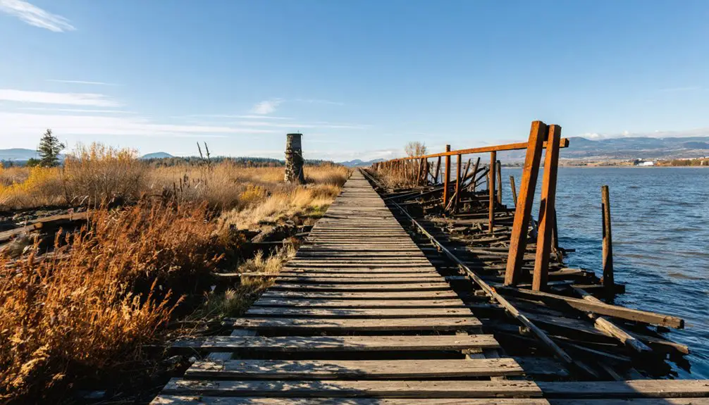
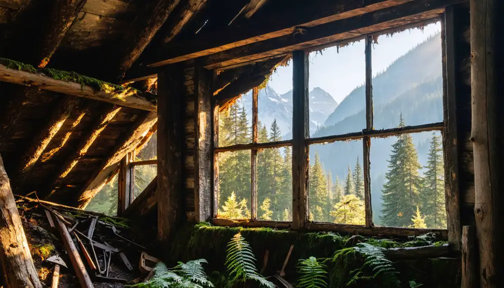
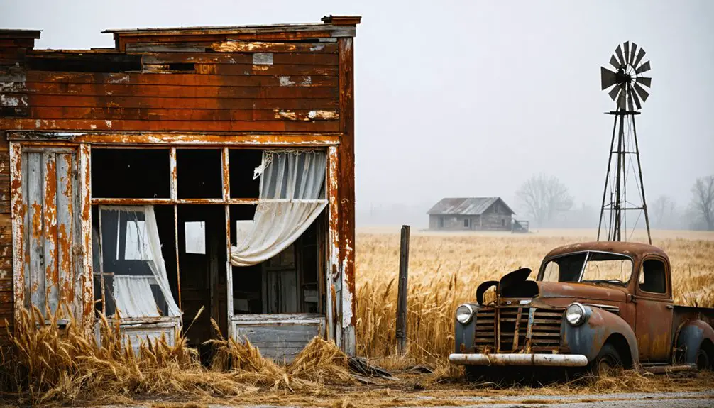
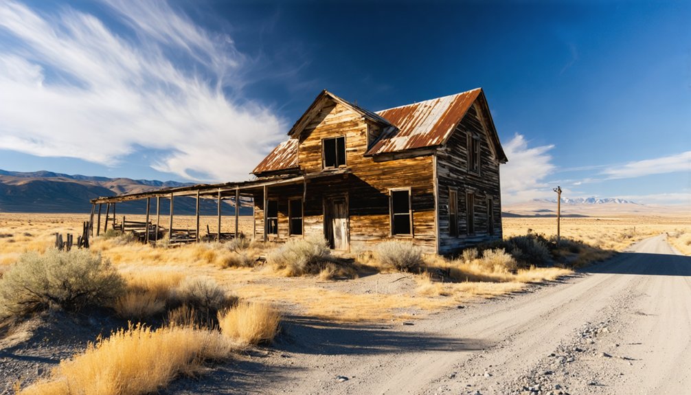
Today, you’ll find only a few weathered log buildings and scattered historical artifacts marking where the camp once stood.
Preservation efforts remain minimal, making this remote Okanogan Highlands stop a raw, unfiltered glimpse into Washington’s mining past.
Why Old Toroda Became a Ghost Town
Old Toroda didn’t fade quietly — it picked up and moved. When miners discovered richer deposits about four miles to the north, the town’s businesses and residents followed the money, relocating to what would become Bodie.
The original settlement stayed behind, and without the mines driving activity, it quickly emptied out and slipped into history.
Mining Boom Fuels Growth
When mineral claims opened in the Okanogan Highlands in 1896, prospectors flooded the Toroda Creek corridor almost overnight. You can picture the energy — men staking ground, hammering together rough cabins, and building a functioning town from scratch within months.
Mining history here moved fast. By the end of that first boom period, roughly 25 cabins lined the main street, supported by a store, blacksmith shop, assay office, and post office.
Settlement patterns in boomtowns like Old Toroda followed a simple logic: go where the ore is, build what you need, and move when the diggings shift. That’s exactly what happened.
The creek corridor offered buildable terrain and road access, making Old Toroda a natural gathering point for miners chasing the next big strike across northeastern Washington.
Richer Mines Drive Relocation
As the richest ore veins turned out to lie roughly four miles north, miners packed up and followed the diggings — and the town moved with them. That new settlement became Bodie, while the original site earned the quieter name Old Toroda.
It’s a classic boomtown pattern: people go where the ground pays. The relocation left behind a handful of log buildings and skeletal structures near Cougar Creek, offering little tourist infrastructure but plenty of raw, unfiltered history.
Historical preservation here is minimal, which actually adds to the appeal — you’re seeing the site on its own terms. If you’re drawn to places where ambition met its limits and the land reclaimed what was left, Old Toroda delivers exactly that kind of honest, uncurated experience.
What’s Left to See at Old Toroda Today
Though time and the elements have taken their toll, a few skeleton structures and old log buildings near Cougar Creek still hint at what Old Toroda once was. You won’t find a preserved main street or restored storefronts here — the site holds very little evidence of its original layout. That rawness is part of its appeal.
The archaeological significance of what remains rewards careful observation, and the historic preservation of even scattered remnants tells a compelling story of a boomtown’s short life.
If you want more visible ruins, nearby Bodie offers structures on both sides of Toroda Creek Road. Just respect posted private property and prohibited mine areas. You’re free to explore, but the land sets the terms.
How to Get to Old Toroda From Wauconda
Getting to Old Toroda means heading into the far northeast corner of Okanogan County, where the roads thin out and the Canadian border isn’t far. From Wauconda, follow Toroda Creek Road northeast toward the old mining corridor. The route is manageable on 2WD, but winter snow makes it a different story, so plan your visit between spring and fall.
As you drive in, you’re tracing the same creek valley that once pulled prospectors north toward richer claims. Watch for signage marking private property, since visitor safety depends on respecting posted boundaries around old mine sites.
Historical artifacts scattered across the area belong to the land, not your pack. Keep your eyes open, your hands off posted zones, and enjoy the ride.
Road Conditions and Drive Time to Old Toroda
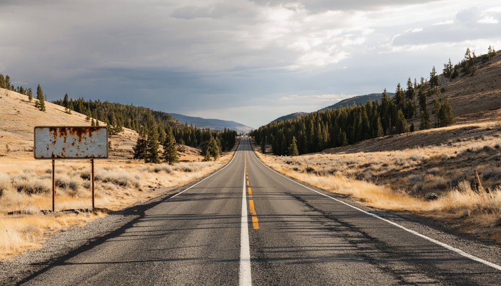
You’ll reach Old Toroda via Toroda Creek Road, a 2WD-accessible route that handles most standard vehicles without trouble. The road surface holds up reasonably well, but conditions shift with the seasons.
Winter brings heavy snow and brutal cold that can make the stretch genuinely difficult. Plan your visit for spring, summer, or fall to keep the drive manageable and the site itself accessible.
Getting To Old Toroda
Reaching Old Toroda means committing to a remote drive through the far northeast corner of Okanogan County, where services are sparse and distances feel longer than the map suggests. Start from Wauconda and follow Toroda Creek Road northeast toward the Canadian border.
The route is passable with a standard 2WD vehicle, but winter snow closes access and turns the corridor dangerous. Stick to spring, summer, or fall for the best experience.
You’ll travel roughly 16 miles south of the Canadian border before reaching the site, where mining history lingers in scattered log structures and historical artifacts near Cougar Creek.
Plan fuel and supplies before you leave — there’s nothing convenient once you’re out here, and the isolation is exactly the point.
Road Surface And Conditions
Toroda Creek Road handles a standard 2WD vehicle without trouble during dry months, but don’t mistake accessible for easy — the route through the Okanogan Highlands is remote, winding, and slow-going by nature.
Road maintenance in this corner of Okanogan County is minimal, so expect rough patches, loose gravel, and uneven surfaces that demand your attention.
Winter snow closes the area effectively, making spring through fall your realistic window.
You’ll want to budget extra drive time — distances feel longer when the road curves constantly through canyon terrain.
Slowing down also works in your favor here; the landscape rewards careful travelers who scan roadsides for historical artifacts, old foundations, and remnant structures half-hidden by brush.
Rushing through means missing exactly what you came to find.
Seasonal Travel Considerations
Timing your visit matters as much as packing the right gear. Seasonal accessibility shifts dramatically in this corner of Okanogan County, so plan around it. Spring, summer, and fall give you the best window to reach Old Toroda without battling ice or impassable roads.
Winter closes in hard here — snow accumulates fast, temperatures drop severely, and the remote location leaves little room for error.
Weather preparedness isn’t optional on this route. Even a late-spring morning can turn cold quickly at this elevation, and afternoon storms roll through without much warning.
Carry water, extra layers, and an emergency kit regardless of season. You’re near the Canadian border, services are sparse, and cell coverage is unreliable.
Give yourself a full day and start early.
Best Season to Visit Old Toroda
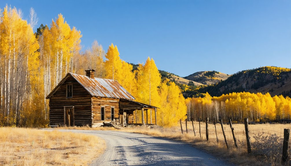
Because Old Toroda sits in a remote corner of Okanogan County near the Canadian border, winter conditions can make the site genuinely difficult to reach—snow closes in hard, and temperatures drop well below comfortable. You’ll want to plan your visit during spring, summer, or fall when the 2WD roads stay passable and visitor safety isn’t compromised by ice or isolation.
Summer offers the clearest views of remaining log structures and lets you photograph historical artifacts without rushing. Fall brings quieter roads and sharp light ideal for capturing ruins.
Spring works if you go after snowmelt clears the route. Whatever season you choose, check road conditions before heading out—services are limited, distances are long, and the nearest help isn’t close. Go prepared, and the site rewards you fully.
Nearby Ghost Towns to Pair With Old Toroda
Old Toroda doesn’t stand alone—it anchors a ghost-town loop through the Okanogan Highlands that includes Bodie, Molson, and Osceola, each adding a distinct layer to the region’s mining history.
Bodie sits just four miles north and offers more visible ruins along Toroda Creek Road, though much of the property is private. It’s the natural next stop after Old Toroda.
Molson, farther west, delivers exceptional ghost town preservation with an outdoor museum featuring original buildings and equipment you can actually explore.
Osceola rounds out the loop with its own quiet remnants and remote character.
Together, these four sites give you a full picture of northeastern Washington’s boom-and-bust mining era.
Plan a multi-day route, and you’ll cover serious ground without backtracking.
Private Land, Posted Fences, and Site Etiquette at Old Toroda
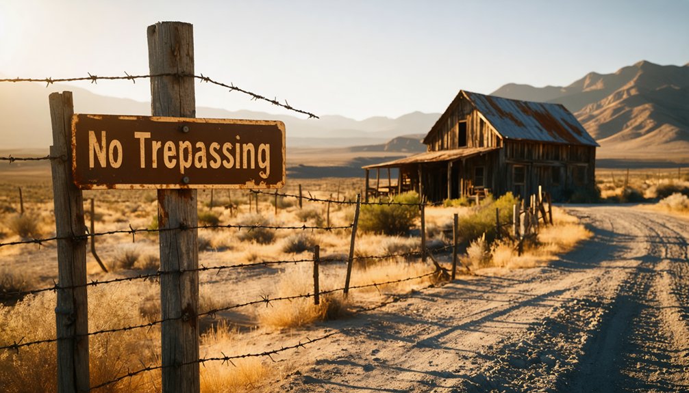
Visiting Old Toroda means entering a remote, historically layered landscape where private property boundaries aren’t always obvious. Posted fences and no-trespassing signs mark much of the Bodie mine area, and you’ll want to respect every one of them.
Cultural preservation depends on visitors treating these sites with discipline, not just curiosity. Don’t pull boards from structures, pocket artifacts, or cross marked boundaries hoping nobody’s watching.
Local legends surrounding Toroda’s mining past feel richer when you experience them honestly, standing where you’re actually permitted to stand. Stick to public road corridors, use a telephoto lens for distant structures, and ask landowners directly if you want closer access.
The freedom to explore these highlands long-term depends on every visitor leaving the site exactly as they found it.
Frequently Asked Questions
What Does the Name “Toroda” Actually Mean in Local Indigenous Language?
You’ll find the name “Toroda” carries real cultural significance — it means “Dorothy” in a local Indigenous language, honoring John Lute’s wife, giving this ghost town’s Indigenous language origins a surprisingly personal, human connection.
Who Was John Lute, and What Was His Connection to Old Toroda?
John Lute’s wife Dorothy inspired Old Toroda’s name through local Indigenous dialect. When you’re exploring ghost town photography and historic preservation efforts, you’ll appreciate how this personal connection shaped one of Washington’s most fascinating frontier settlements.
How Many Cabins Existed in Old Toroda During Its Peak Population?
At its peak, you’d have found about 25 cabins defining Old Toroda’s ghost town architecture. Today, that vibrant settlement’s abandoned mining equipment and structures have nearly vanished, leaving you only skeletal remnants of its once-thriving, freedom-seeking community.
What Businesses Operated in Old Toroda Before the Town Relocated North?
Like a self-sufficient frontier organism, Old Toroda’s businesses breathed life into mining history: you’d find a general store, restaurant, livery barn, blacksmith shop, and homes — each fueling local legends before the town relocated north toward richer diggings.
How Far North Did the Town Move When It Became Bodie?
When you explore historic mining sites, you’ll discover the town moved about four miles north, transforming into Bodie. That shift in ghost town architecture tells a compelling story of miners chasing richer, more promising diggings deeper into the highlands.
References
- https://www.trailchick.com/bodie-ghost-town/
- https://okanogancountry.com/ghost-towns
- http://www.ghosttownsusa.com/toroda.htm
- https://www.facebook.com/groups/northidaholife/posts/3645031209074260/
- https://www.facebook.com/ghosttownsofwashington/posts/old-toroda-located-a-the-confluence-of-cougar-and-toroda-creeks-in-okanogan-coun/859783049511444/
- https://www.ghosttowns.com/states/wa/torodaandoldtoroda.html
- https://en.wikipedia-on-ipfs.org/wiki/List_of_ghost_towns_in_Washington
- https://www.facebook.com/ghosttownsofwashington/posts/photo-from-1960s-old-toroda-main-street-of-a-once-thriving-mining-settlement-at-/738824531607297/
- https://pnwphotoblog.com/ghost-towns-washington/