Planning a ghost town road trip to Thurman, Kansas means heading into Chase County’s Flint Hills, southeast of Matfield Green, where open prairie has swallowed almost every trace of what was once a frontier community of 51 households. Founded in 1874, Thurman lost its post office by 1909 and its last resident by 1944. Today, High Prairie Cemetery stands as the only landmark remaining. Stick around, and you’ll uncover everything you need to make this journey unforgettable.
Key Takeaways
- Thurman, Kansas, is a ghost town in southeastern Chase County, best navigated using GPS coordinates 38°6′3″N 96°31′1″W and offline maps.
- Start your road trip from Matfield Green, traveling southeast via unmarked gravel roads, parking safely on the shoulder upon arrival.
- The High Prairie Cemetery is Thurman’s sole physical remnant, containing weathered gravestones representing frontier families who settled there in 1874.
- Visit during spring, early fall, or summer mornings for the best weather, and pack water, sturdy shoes, and a camera.
- Combine your visit with nearby ghost towns like Sherlock and Runny Meade to enrich your understanding of Flint Hills frontier history.
What Made Thurman, Kansas a Ghost Town?
Once a thriving frontier community of 51 households, Thurman, Kansas faded into the prairie when the railroad never came. Founded in 1874, the town carried the weight of pioneer heritage through decades of determined frontier living.
But without rail access, economic opportunity simply dried up.
By 1909, the post office closed — a quiet signal that Thurman’s story was ending. Blacksmith shops shuttered, families relocated, and 80% of nearby residents sought better prospects elsewhere.
The last soul departed in 1944, leaving only open grassland behind.
Today, local folklore lives on through the gravestones at High Prairie Cemetery, where countless untold stories rest beneath the Kansas sky. Thurman’s fate mirrors countless other Kansas settlements that couldn’t survive without the connectivity a railroad line would’ve provided.
Where Exactly Is Thurman Located in Chase County?
Tucked into the southeastern corner of Chase County, Thurman sits at coordinates 38°6′3″N 96°31′1″W within the southern section of Matfield Township. You’ll find it southeast of Matfield Green, resting quietly among the rolling Flint Hills at an elevation of 1,394 feet.
To orient yourself before visiting, remember these key location details:
To find Thurman, anchor yourself to four essentials: coordinates, landmarks, vanished households, and whispered history carved in stone.
- Matfield Green is the nearest inhabited town, just a few miles northwest.
- The High Prairie Cemetery serves as your primary historical landmark.
- Open prairie now covers where 51 households once thrived.
- Community stories survive only through gravestones beneath the Kansas sky.
You’re essentially steering toward silence and open grassland. No signs mark the spot, so use the cemetery as your anchor point when exploring this forgotten frontier settlement.
What’s Left to See at the Thurman Site Today?
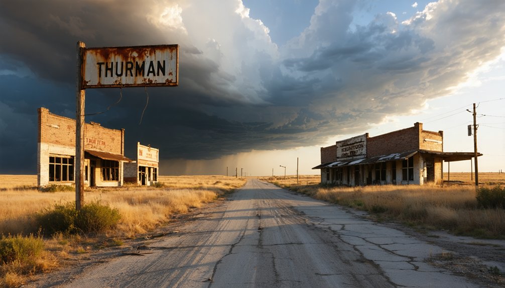
When you arrive at the Thurman site today, you’ll find nothing but open prairie stretching across the land where 51 households once stood.
The rolling grasses offer a hauntingly beautiful backdrop, inviting you to imagine the blacksmith shops and gathering spaces that vanished decades ago.
Your only tangible connection to Thurman’s past stands within the High Prairie Cemetery, where gravestones quietly preserve the stories of frontier lives lived and lost beneath the Kansas sky.
Open Prairie Landscape
Where 51 households once bustled with frontier life, you’ll now find nothing but open prairie stretching endlessly beneath the Kansas sky. The silence here speaks volumes about what time and economics can erase.
As you walk the grounds, you’ll discover nature has fully reclaimed Thurman’s story:
- Rolling grasslands carpeted with native local flora replace every structure that once stood.
- Wildlife encounters are common, with hawks, deer, and meadowlarks roaming freely.
- Unobstructed horizons offer photographers breathtaking panoramic views of the Flint Hills.
- Undisturbed solitude lets you genuinely feel the weight of frontier history beneath your feet.
You’re fundamentally standing inside a living time capsule where prairie grasses have quietly buried an entire community’s dreams.
High Prairie Cemetery Remnants
Yet amid all that open silence, one physical remnant still stands to anchor Thurman’s story to the present: the High Prairie Cemetery. Walk among its gravestones, and you’ll feel the weight of frontier lives carved into weathered stone. These markers represent historical preservation at its most honest — no museum curation, no guided narration, just raw prairie wind and quiet testimony.
You’ll want to move carefully through the grounds. Uneven terrain and aging stones mean visitor safety matters here. Watch your footing, respect the markers, and resist touching fragile surfaces. The cemetery holds countless stories beneath the Kansas sky, and it deserves your thoughtfulness.
For photographers and history seekers alike, this sacred patch of land offers the most powerful connection to Thurman’s vanished community.
High Prairie Cemetery: The Last Landmark Standing
Although Thurman’s buildings have long since crumbled back into the Kansas earth, the High Prairie Cemetery stands as the sole surviving landmark of this once-thriving frontier community. Its historical preservation makes it invaluable for understanding frontier life’s cultural significance across the Flint Hills.
When you visit, take time to:
- Read the gravestones, each one representing a family who built something from nothing
- Photograph the cemetery against the sweeping Kansas prairie backdrop
- Reflect on the 51 households that once surrounded this sacred ground
- Explore the perimeter where prairie grasses now reclaim former homesteads
You’ll feel the weight of history standing quietly among these markers. No guide accompanies you here — just open sky, wind-bent grass, and the honest silence of a forgotten town.
How to Get to Thurman

To reach Thurman, you’ll head southeast of Matfield Green through the rolling Flint Hills of Chase County, following the rural roads toward the coordinates 38°6′3″N 96°31′1″W.
The roads out here are quiet and unhurried, winding through open prairie much as they did when settlers once traveled these same paths.
Since no parking facilities exist at the site, you’ll want to pull your car safely off the road onto one of the adjacent open stretches before exploring on foot.
Starting Your Route
Reaching Thurman starts with setting your sights on Matfield Green, Kansas, the nearest inhabited town just a few miles northwest of the ghost town’s former site. From there, head southeast through the rolling Flint Hills toward coordinates 38°6′3″N 96°31′1″W.
Follow these steps to navigate the route confidently:
- Set Matfield Green as your GPS destination first
- Travel southeast along rural Chase County roads
- Watch for the High Prairie Cemetery, your primary landmark
- Park safely along adjacent open roads before exploring on foot
The cultural significance of this journey runs deep. You’re tracing paths where 51 households once built lives on open prairie.
Historical preservation efforts remain minimal here, making your visit a rare, unfiltered connection to Kansas frontier history.
Once you’ve locked in Matfield Green on your GPS, the real navigation challenge begins—Chase County’s rural road network demands patience and attention. Head southeast through rolling Flint Hills terrain, watching for unmarked gravel roads that wind toward coordinates 38°6′3″N 96°31′1″W. These roads carry no signage honoring Thurman’s past, yet they’re your direct connection to historical preservation efforts centered around the High Prairie Cemetery.
Drive slowly. Local legends suggest longtime ranchers still remember exactly where 51 households once stood before 1944’s final departure. Your GPS may falter on these remote stretches, so download offline maps beforehand.
Park safely along open roadside shoulders—no formal facilities exist here. The freedom of self-directed exploration rewards those willing to navigate carefully through this quietly haunting Kansas prairie landscape.
Parking Near The Site
Arriving at Thurman’s former site means embracing the rawness of Chase County’s open prairie roads—there’s no formal parking lot waiting for you, no welcome sign marking where 51 households once quietly lived and breathed. You’re stepping into community memory, unfiltered.
Follow these practical steps:
- Pull safely onto the road’s gravel shoulder without blocking traffic.
- Keep your vehicle visible from both directions.
- Note your GPS coordinates at 38°6′3″N 96°31′1″W before leaving your car.
- Photograph your parking spot for easy return navigation.
Historical preservation here depends on respectful visitors who tread lightly across this open prairie. You won’t find guardrails or guidance—just wind, grass, and the High Prairie Cemetery quietly standing watch over forgotten frontier lives.
When Is the Best Time to Visit Thurman?
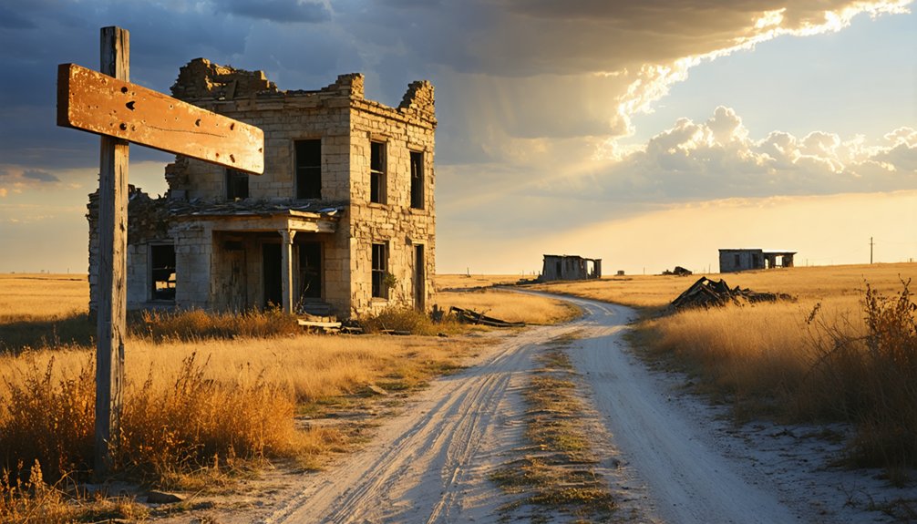
Since Thurman is little more than open prairie today, the season you choose to visit shapes your entire experience. Spring and early fall offer the clearest skies and mild temperatures, making your walk through the High Prairie Cemetery far more meaningful.
Summer heat can be brutal across the Flint Hills, so plan your arrival early in the morning. Winter strips the landscape bare, revealing an almost haunting clarity that honors historical preservation in its rawest form.
Whatever season calls you, you’ll feel the weight of community memory pressing up through the prairie grass. These grounds once held 51 households full of frontier ambition.
Visiting thoughtfully — camera ready, weather checked, heart open — guarantees you carry that fading story forward rather than simply passing through.
What to Pack for a Self-Guided Visit to Thurman
Packing smart makes all the difference when you’re heading to a site with no facilities, no shade structures, and no services of any kind. Thurman’s open prairie demands preparation before you roam freely across its windswept grounds.
Arriving unprepared at Thurman means facing open prairie with nothing — no shade, no services, no second chances.
- Water and snacks – No vendors exist here, so carry enough for your entire stay.
- Camera and notebook – Document the High Prairie Cemetery for personal historical preservation records.
- Binoculars – Wildlife observation thrives across these rolling Flint Hills grasslands.
- Sturdy walking shoes – Prairie terrain rewards those who explore confidently on foot.
You’re stepping onto land where 51 households once built something real.
Respecting that history means arriving ready, moving carefully, and leaving every gravestone exactly as you found it.
Nearby Kansas Ghost Towns Within the Flint Hills
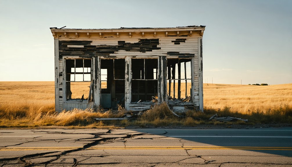
Thurman doesn’t stand alone in its silence — the Flint Hills hold several other ghost towns worth weaving into your road trip. Towns like Sherlock and Runny Meade share Thurman‘s fate, swallowed by economic shifts and the absence of railroad connectivity.
As you drive through the rolling prairie, you’ll notice local flora — bluestem grasses and wildflowers — reclaiming land where communities once thrived. Watch for historical markers along rural roads that hint at forgotten settlements tucked beneath the Kansas sky.
Each abandoned site tells a layered story of frontier ambition and quiet defeat. Linking these stops creates a richer journey, letting you piece together the broader pattern of boom-and-bust settlement that shaped this rugged, beautiful region into what it remains today.
How to Photograph Thurman’s Cemetery and Open Prairie
With nothing left standing but gravestones and open sky, Thurman rewards photographers who embrace minimalism and mood. You’ll find raw beauty here if you know where to look.
Nothing remains but stone and sky — and for the right photographer, that’s more than enough.
- Shoot golden hour — Early morning and late afternoon light transforms the High Prairie Cemetery into something hauntingly beautiful.
- Frame wildflower blooms — Seasonal wildflowers scattered across the prairie add natural color against weathered stone.
- Watch for birdwatching opportunities — Hawks and meadowlarks frequent this open terrain, giving your shots unexpected life.
- Embrace wide angles — Capture the endless Kansas sky alongside gravestones to convey true frontier isolation.
You don’t need a guided tour here. Just bring patience, a charged battery, and an eye for quiet stories written in grass and stone.
Frequently Asked Questions
How Many Households Did Thurman Have at Its Peak Population?
At its peak, Thurman had 51 households. You’re stepping into one of history’s most mesmerizing abandoned settlements, where these historical ghost towns remind you that freedom once thrived across Kansas’s untamed, nostalgic frontier prairie.
What Year Was Thurman, Kansas Originally Founded as a Settlement?
You’ll find that Thurman’s historical preservation story began in 1874, when brave settlers first carved out this frontier community. Local legends echo across the prairie, reminding you of the freedom-seeking souls who once called this Kansas ghost town home.
What Is the Exact Elevation of the Thurman Ghost Town Site?
“The higher you climb, the farther you see” — you’ll stand at exactly 1,394 feet (425 meters), where historical preservation meets open freedom. This elevation defines Thurman’s tourist attractions, offering nostalgic, sweeping Flint Hills views you’ll never forget.
When Did the Last Resident Permanently Leave Thurman, Kansas?
In 1944, you’d witness Thurman’s last resident permanently departing, leaving behind haunted stories and abandoned structures swallowed by endless prairie. That final farewell marked the bittersweet end of a once-thriving frontier community you’re now free to explore.
What Were the Geographic Coordinates of Thurman in Chase County?
You’ll find Thurman’s historic ghost town architecture once stood at 38°6′3″N, 96°31′1″W. These coordinates hold local legends and stories of frontier souls who carved freedom into Chase County’s timeless, windswept Kansas prairie.
References
- https://www.youtube.com/watch?v=iwqdnE-kHIQ
- https://www.youtube.com/watch?v=YQHVP21sYC8
- https://www.youtube.com/watch?v=_DLl0NgdIPo
- https://en.wikipedia.org/wiki/List_of_ghost_towns_in_Kansas
- https://en.wikipedia.org/wiki/Thurman
- https://www.onlyinyourstate.com/trip-ideas/kansas/haunted-kansas-road-trip
- https://kansaspress.ku.edu/9780700606801/
- https://www.legendsofamerica.com/ks-ghosttowns/