To plan your ghost town road trip to Zyba, Kansas, head approximately 12 miles north of Wellington into Sumner County, then position yourself three miles south and one mile west of Peck along 1200 North West Road. You’ll find scattered houses, old foundations, and rural outbuildings that whisper stories of a once-thriving railroad settlement. Bring offline maps, sturdy shoes, and a camera — cell service is unreliable out here. There’s far more to discover about this forgotten Kansas treasure ahead.
Key Takeaways
- Zyba is located in Sumner County, Kansas, approximately 12 miles north of Wellington, accessible via N Anson Rd and W 90th St N.
- Navigate to three miles south and one mile west of Peck along 1200 North West Road to pinpoint Zyba’s exact location.
- Pack a DeLorme Atlas or offline maps, extra water, snacks, a camera, and sturdy shoes for the trip.
- Scattered foundations, standing houses, and rural outbuildings offer quiet historical exploration for ghost town enthusiasts visiting Zyba.
- Combine your Zyba visit with nearby Sumner County ghost towns like Rago, Bluff City, and Mayfield for a full itinerary.
Where Is Zyba, Kansas?
Tucked away in south-central Kansas, Zyba sits roughly 12 miles north of Wellington in Sumner County, placing it well off the beaten path. To find it, head to the intersection of N Anson Rd and W 90th St N, then travel 1.5 miles south.
Zyba hides in south-central Kansas, roughly 12 miles north of Wellington, deep in Sumner County’s rural heartland.
You can also use Peck as a reference point — Zyba lies three miles south and one mile west along 1200 North West Road.
Understanding Zyba history means appreciating its railroad significance. The town grew around a Chicago and Rock Island Railroad station during the late 19th century, when rail lines shaped which Kansas communities thrived.
Grab a DeLorme Atlas or reliable GPS before heading out, because these rural county roads demand careful navigation. You’ll want to know exactly where you’re going before leaving pavement behind.
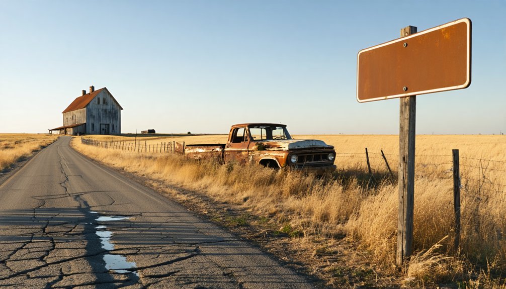
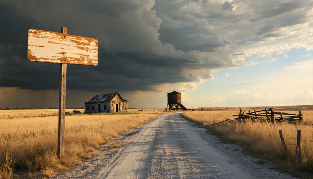
What’s Left to See at Zyba Today?
Once you’ve navigated those back roads and arrived at Zyba, don’t expect a dramatic skyline or a preserved main street — what remains is quiet, scattered, and easy to miss.
Despite its extinct status, the site still holds real historical significance if you know what to look for.
Here’s what you can realistically spot:
- Several houses — a few structures still stand, hinting at the community that once thrived here.
- Named county roads — the road grid itself reflects the original settlement’s layout.
- Architectural remains — scattered foundations and rural outbuildings reward patient explorers.
Bring your camera and a county road map.
The landscape won’t announce itself, but that’s the freedom of ghost town exploration — you’re piecing history together from what silence leaves behind.
Which Other Sumner County Ghost Towns Are Worth Adding to Your Route?
While Zyba makes a compelling centerpiece for a Sumner County ghost town route, it’s far from the only extinct community worth tracking down in this stretch of south-central Kansas.
Sumner County shelters dozens of forgotten settlements, each carrying its own historical significance tied to railroad expansion, agricultural booms, and inevitable decline. Towns like Rago, Bluff City, and Mayfield offer scattered remnants worth your time if you’re building a multi-stop itinerary.
Follow these exploration tips: grab a DeLorme Atlas or load county road maps onto your GPS before heading out, since cell service gets unreliable fast on rural backroads.
Pair Wellington as your base camp, fuel up, and let the open Kansas landscape guide you between these quietly vanishing places.
How to Find Zyba on Back Roads
Finding Zyba specifically takes a bit more precision than a general Sumner County ghost town sweep, so nail down your navigation before leaving Wellington.
Rural exploration rewards the prepared, so study your route carefully before hitting those back roads.
Follow these three navigation markers:
- Head approximately 12 miles north of Wellington toward Peck, Kansas.
- Position yourself three miles south and one mile west of Peck on 1200 North West Road.
- Confirm you’re 1.5 miles south of the N Anson Road and W 90th St N intersection.
Back road navigation here means no highway signage guiding you in.
Load a DeLorme Atlas or reliable GPS, print county road maps as backup, and expect a rural setting where remaining houses quietly mark where Zyba once thrived.
What to Pack for a Zyba Road Trip
Packing smart for Zyba means treating it like any serious back road expedition into rural Kansas. You’re heading into unincorporated Sumner County where cell service gets spotty and convenience stores don’t exist.
Your packing essentials should include a printed DeLorme Atlas or downloaded offline maps, extra water, snacks, and a basic tool kit.
Pack a DeLorme Atlas or offline maps, extra water, snacks, and a basic tool kit before heading out.
Road trip tips from seasoned explorers emphasize bringing a camera for documenting remaining structures and any cemetery markers you encounter. Wear sturdy shoes since you’ll walk uneven ground around whatever houses still stand at the site.
Keep a portable charger handy for your devices and toss a first aid kit in the back seat. Freedom on roads like these rewards preparation, not improvisation.
Frequently Asked Questions
When Did Zyba’s Post Office First Open for Business?
Zyba’s post office first opened in 1887, connecting you to ghost stories and local legends of railroad expansion. You’ll discover this historic hub served the community until 1906, fueling your spirit of freedom and exploration.
Which Railroad Company Operated a Station at Zyba?
Ready to trace the rails of the past? The Chicago and Rock Island Railroad’s station significance shaped Zyba’s railroad history, connecting this small Kansas town to regional commerce and putting it on the map!
What Was Zyba’s Recorded Population in the 1910 Census?
You’ll find Zyba’s 1910 census trends recorded a modest population of just 27 residents, reflecting the historical significance of this small but spirited Kansas railroad community that once thrived before gradually fading into obscurity.
Why Did Zyba Eventually Decline and Become an Extinct Town?
Ironically, Zyba’s ghost town origins stem from the very things that built it — economic factors like railroad abandonment and agricultural shifts pulled residents away, leaving you with little more than named roads and a few stubborn houses to explore.
Was Zyba’s Post Office Relocated From Another Nearby Town?
Zyba’s post office relocation came from nearby Dublin, showing you how these frontier communities evolved. You’ll discover that nearby towns often shifted resources, fueling Zyba’s growth during Kansas’s exciting late 19th-century railroad expansion era.
References
- https://www.youtube.com/watch?v=0wTaBKVg3dk
- https://www.youtube.com/watch?v=Aa-_f4ThouQ
- https://www.youtube.com/watch?v=YQHVP21sYC8
- https://www.onlyinyourstate.com/trip-ideas/kansas/kansas-ghost-town-road-trip
- https://www.youtube.com/playlist?list=PL4jqwLUrhjNRrbNAkj4ZX149BAdvebsFr
- https://www.youtube.com/watch?v=8dtIPX7pIqI
- https://legendsofkansas.com/sumner-county-kansas-extinct-towns/
- https://www.youtube.com/watch?v=5hDJVlbTVs8
- https://www.youtube.com/watch?v=QJ-Y9CkMsgg
- https://www.youtube.com/watch?v=jmGOQurOWv0


