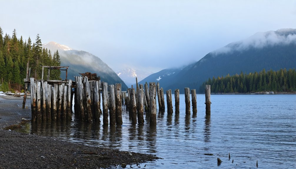
You’ll find the abandoned Speel River pulp mill, one of Alaska’s most remote ghost towns, tucked away in a pristine fjord 40 miles southeast of Juneau. Established in 1917 during Southeast Alaska’s industrial expansion, the mill operated briefly until 1924 when market competition forced its closure. Today, you can only access the site by water or air, where deteriorating structures and industrial remnants stand as silent witnesses while nature steadily reclaims this fascinating piece of Alaska’s resource-driven past.
Key Takeaways
- Speel River ghost town, established in 1917 as a pulp mill site, operated briefly until its closure in 1924 due to market competition.
- The abandoned site is accessible only by water through Port Snettisham or by air via chartered floatplanes from Juneau.
- Industrial ruins and remnants of daily life remain preserved due to the site’s isolation in Alaska’s southeastern temperate rainforest.
- Located in traditional Tlingit T’aaku Kwáan territory, the site represents Alaska’s early industrial development attempts in the region.
- Nature is actively reclaiming the ghost town, with Sitka spruce, western hemlock, and local wildlife returning to the abandoned area.
The Rise and Fall of Speel River’s Pulp Mill Empire
While Southeast Alaska was largely untamed in the early 20th century, the establishment of Speel River’s pulp mill in 1917 marked an ambitious attempt at industrialization in the region.
You’ll find this venture was set against the backdrop of traditional Tlingit T’aaku Kwáan territory, where fish camps and villages had thrived for generations.
Despite its promising start, the pulp mill’s economic viability quickly came into question. Similar challenges would face the Alaska Pulp Corporation decades later when it shuttered its Sitka operations in 1993.
You can trace its challenges to crushing shipping costs and limited market access due to its remote location. The worldwide pulp market played a decisive role in the industry’s eventual downfall.
The operation struggled to compete with other producers, and by 1924, the mill had ceased operations.
By 1924, fierce market competition had forced the Speel River mill into silence, ending Alaska’s early pulp production dreams.
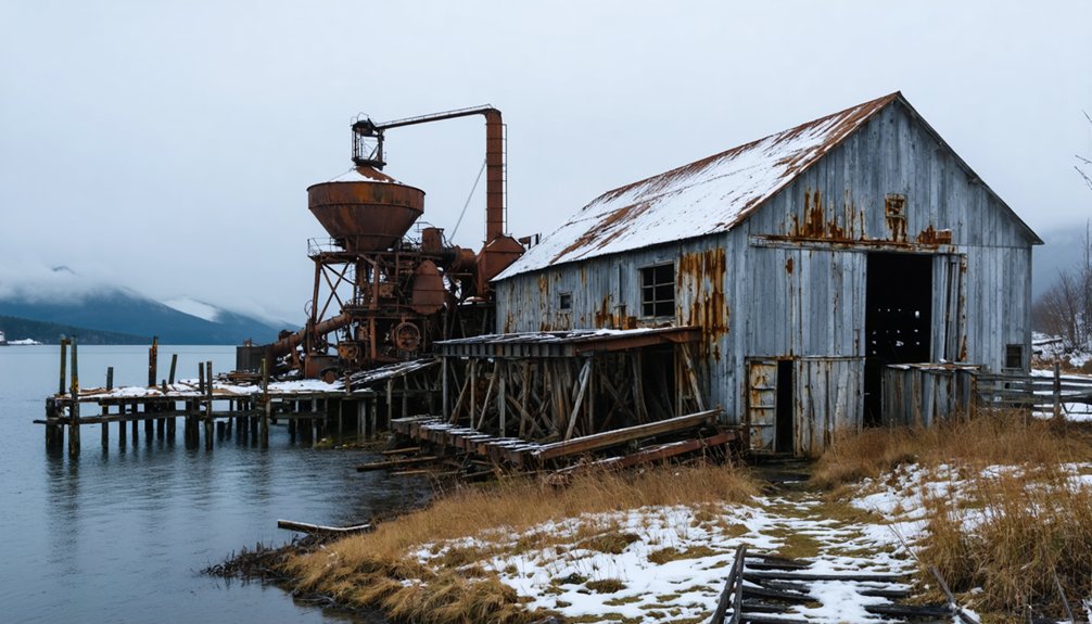
What began as a symbol of industrial progress became another abandoned outpost, leaving behind tramways and processing facilities as silent testimonies to Southeast Alaska’s complex industrial past.
Although Speel River’s ghost town stands as a monument to Alaska’s industrial past, reaching this remote site requires careful planning and specialized transportation.
You’ll find no roads leading to this wilderness destination – your options are limited to water access or air logistics.
Your best bet is approaching by water through Port Snettisham, a deepwater fjord that leads to Speel Arm. Small boats and kayaks work well for maneuvering through these protected waters.
If you prefer flying, you can charter a floatplane or helicopter from Juneau during the summer months of July through September. The nearby Snettisham Airport offers a private landing option for aircraft access.
Before heading out, you’ll need GPS navigation tools, topographic maps, and emergency communication devices.
The dense rainforest and mountainous terrain demand serious wilderness preparation, including bear safety gear and survival equipment.
Visitors must complete identity verification before accessing certain protected areas of the ghost town site to prevent vandalism and protect historical artifacts.
What Remains: A Journey Through Time
Today’s Speel River stands as a haunting evidence of Alaska’s industrial decline. As you explore the site, you’ll find deteriorating structures from the once-bustling pulp mill, each telling its own story of industrial ambition and eventual abandonment.
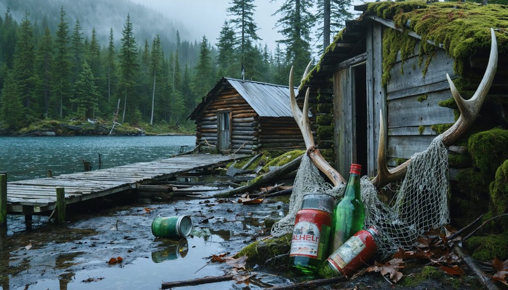
Similar to Kennicott, where personal belongings were abandoned overnight, the site contains remnants of everyday life frozen in time. Historical artifacts scattered throughout the area serve as silent witnesses to the community that once called this remote location home. Like many boom-and-bust towns, the site faced a similar fate to settlements that experienced diminishing gold deposits.
While the landing strip remains maintained, the rest of the settlement has surrendered to nature’s reclamation. Community memories live on through the remaining industrial ruins, which mirror the fate of other Alaskan ghost towns like Kennecott and Iditarod.
You’ll notice how the site’s isolation has preserved these remnants of the past, though no formal preservation efforts have been undertaken to protect these pieces of Alaska’s industrial heritage.
Nature’s Reclamation of an Industrial Past
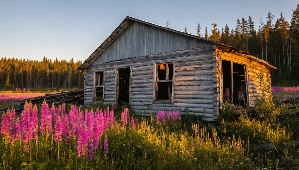
Since its abandonment, nature has steadily reclaimed the industrial remnants of Speel River through the persistent growth of southeastern Alaska’s temperate rainforest.
Time erases human presence as nature’s green tendrils slowly engulf the abandoned ruins of Speel River’s industrial past.
You’ll find Sitka spruce and western hemlock taking over old mining structures, while moss, ferns, and berry bushes colonize abandoned tunnels and shafts. This natural restoration extends to the wetlands, where expanding aquatic habitats now support thriving waterfowl populations.
The wildlife resurgence is equally dramatic. Black bears, Sitka black-tailed deer, and various bird species have returned to their ancestral grounds. The significant glacier retreat has created new habitats as the proglacial lake continues to expand.
In Speel River itself, salmon populations are rebounding as water quality improves. Even as rusted machinery and old foundations persist, they’re slowly disappearing beneath nature’s determined advance, weathered by the coastal climate‘s relentless cycles.
Legacy of Alaska’s Resource-Driven Settlements
When exploring Alaska’s settlement patterns, you’ll discover how natural resources fundamentally shaped the state’s development and demographic shifts. From Russian fur traders in 1784 to the gold rushes of the 1880s and later oil discoveries, each resource boom triggered waves of settlement that transformed Alaska’s landscape.
The Alaska Native Claims Settlement Act of 1971 transferred 44 million acres to Native corporations, marking a pivotal shift in land ownership and resource management. The discovery of oil at Prudhoe Bay in 1968 intensified disputes over land ownership and spurred negotiations toward ANCSA. These economic impacts reached far beyond temporary population surges, leading to lasting cultural transformations as Native communities adapted to industrial development and wage labor opportunities.
You’ll find that settlements like Speel River reflect a broader pattern where boom-bust cycles created both thriving communities and eventual ghost towns.
The legacy continues through ANCSA’s corporate structure, which made Alaska Natives key players in resource development while attempting to balance economic progress with cultural preservation.
This complex heritage shapes Alaska’s identity today.
Frequently Asked Questions
Are There Any Safety Concerns When Exploring the Abandoned Buildings?
You’ll face serious risks from unstable buildings that could collapse, so wear proper safety gear including helmets and boots. Don’t enter structures alone, as floors and roofs may give way.
What Wildlife Encounters Are Common Around the Speel River Site?
You’ll encounter countless wildlife photography opportunities, from massive brown bears fishing for salmon to soaring eagles overhead. Watch for moose in wetlands and be alert for predator sightings at dawn and dusk.
Can Overnight Camping Be Done Legally Near the Ghost Town?
You can camp legally near the site, but you’ll need to follow camping regulations like staying 200 feet from water sources. Check nearby campgrounds for designated spots with easier access.
Does Anyone Maintain Historical Records or Artifacts From Speel River’s Past?
You won’t find any formal historical preservation efforts or organized artifact recovery programs. No museums or institutions actively maintain Speel River records, though some personal photos and stories exist online.
What Was the Peak Population During the Town’s Most Active Period?
You’ll find that during the peak industry period, this ghost town likely had fewer than 2,000 residents, based on comparable Alaskan mining settlements, though no exact population figures were documented.
References
- https://iditarod.com/2018/03/08/iditarod-gold-rush-to-ghost-town/
- https://www.youtube.com/watch?v=Cz0IGc2Uy0E
- https://www.youtube.com/watch?v=NsI8bIhJ2pA
- https://www.youtube.com/watch?v=-BGJ95_Gd7E
- https://en.wikipedia.org/wiki/List_of_ghost_towns_in_Alaska
- https://www.onlyinyourstate.com/experiences/alaska/abandoned-places-in-ak
- http://adamspictureblog.blogspot.com/2014/09/ghost-towns-road-to-nabesna.html
- https://www.onlyinyourstate.com/experiences/alaska/most-haunted-place-on-earth-ak
- https://www.sawmillcove.com/history
- https://dec.alaska.gov/spar/csp/sites/alaska-pulp-corporation/


