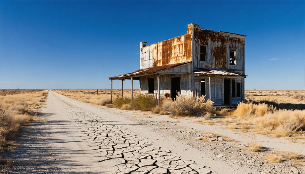
Planning a ghost town road trip to Ayres, Texas means embracing true off-the-grid adventure. You won’t find road signs or GPS recognition, so anchor your navigation around Long Point and travel roughly 2-3 miles south using paper maps and offline tools. Bring water, emergency supplies, and extra fuel — there are no services nearby. Founded around 1835 by David Ayres, this silent stretch of Washington County countryside rewards patient explorers, and there’s much more to uncover about making this journey worthwhile.
Key Takeaways
- Ayres, Texas, is a ghost town in northwest Washington County with no remaining structures, markers, or GPS recognition as a destination.
- Use Long Point as a navigation reference, traveling roughly 2-3 miles south using natural landmarks like Sheppard Creek and East Fork Mill Creek.
- Download offline maps, carry detailed paper maps, and travel during daylight hours for safe rural navigation.
- Bring essential supplies including water, first aid kit, extra fuel, snacks, and a satellite communicator, as no services exist nearby.
- Nearby sites like Washington-on-the-Brazos and downtown Brenham offer additional historical attractions worth including in your road trip itinerary.
What Was Ayres, Texas?
Tucked into the northwest corner of Washington County, Ayres, Texas was a small but active commercial town that took root around 1835, founded by David Ayres as part of Stephen F. Austin’s colonial settlement. Positioned near Sheppard Creek and East Fork Mill Creek, it thrived briefly during the Republic of Texas era before competing population centers pulled settlers away.
Today, no buildings remain, no markers stand, and no preservation efforts have protected what once existed here. Local legends are practically all that keep its memory alive. You won’t find it on a GPS, and the land has returned to quiet rural countryside.
Yet that rawness is exactly what makes Ayres compelling — it’s an unfiltered glimpse into how early Texas settlements rose, faded, and vanished without ceremony.
Where Is the Ayres Ghost Town Located?
Nestled in the northwest region of Washington County, Texas, Ayres sits roughly two to three miles south of the modern town of Long Point, near Sheppard Creek and East Fork Mill Creek.
This well-watered landscape once supported a thriving Republic of Texas commercial hub, though you’d never guess it today.
No roads lead directly to the site, no markers identify it, and no structures remain standing.
Local folklore keeps the memory alive where physical evidence cannot.
Preservation challenges have left this land completely undeveloped, making it a destination you experience through imagination rather than observation.
Use Long Point as your reference point when orienteering rural Washington County roads.
Your GPS likely won’t recognize Ayres as a destination, so old-fashioned map reading and curiosity become your best travel companions.
How Do You Actually Get to Ayres From Long Point?
Since GPS won’t recognize Ayres as a destination, you’ll need to treat Long Point as your launching pad and navigate from there using old-fashioned spatial reasoning. Head roughly two to three miles south of Long Point through Washington County’s rural road network, keeping Sheppard Creek and East Fork Mill Creek as your natural landmarks.
Don’t expect local transportation infrastructure to help you here — no signs, no paved paths, no tour guide waiting at the trailhead. You’re navigating on your own terms, which honestly suits the spirit of ghost town exploration perfectly.
Download offline maps before leaving civilization, note your fuel levels, and carry water. The freedom of discovering Ayres demands self-sufficiency, but that raw, unguided approach is exactly what makes the journey worth taking.
What Historical Sites Near Ayres Are Worth the Drive?
Washington County rewards the historically curious, and while Ayres itself offers nothing standing above ground, the surrounding region is dense with early Texas heritage worth your detour.
Washington-on-the-Brazos State Historic Site, where Texas declared independence in 1836, sits within reasonable driving distance and delivers genuine colonial-era context that Ayres can only hint at.
Brenham’s downtown preserves 19th-century architecture you can actually walk through.
Local folklore surrounding Stephen F. Austin’s colonists echoes throughout every nearby town, giving your road trip a layered narrative that the ghost town alone can’t provide.
Nearby attractions like Independence, Texas, where Sam Houston was baptized, add remarkable depth to your itinerary.
You’re not just visiting a vanished settlement — you’re tracing the bones of early Texas itself.
What to Expect When You Arrive at Ayres
Arriving at Ayres means arriving at nothing — and that’s exactly what you should expect. No markers, no ruins, no signs confirm you’ve reached this forgotten settlement. What greets you instead is open rural land near Sheppard Creek, quiet except for local wildlife moving through the brush. You’re standing where an early Republic of Texas commercial town once operated, and that invisible history is the entire point.
Check weather conditions before heading out — Washington County’s rural roads become difficult in rain, and there’s zero infrastructure nearby for shelter or assistance. No restrooms, no fuel, no services exist here. Bring water, charge your phone, and download offline maps since GPS may not recognize Ayres at all.
Your reward is solitude, open land, and a raw connection to Texas’s earliest settlement era.
What to Bring for a Remote, Unmarked Site Visit
Since GPS systems often won’t recognize Ayres as a valid destination, you’ll want to download offline maps of northwest Washington County and use Long Point as your anchor reference point before leaving home.
Pack emergency essentials — water, a first aid kit, and extra fuel — because no services exist anywhere near the site.
Carry printed research from the Texas State Historical Association Handbook so you can contextualize what you’re seeing, even when what you’re seeing is fundamentally empty rural land.
Essential Navigation Tools Required
Because GPS systems may not recognize “Ayres, Texas” as a valid destination, you’ll need to rely on a combination of tools to successfully locate this unmarked, remote site.
Start with a detailed paper map of Washington County, marking Long Point as your anchor reference point. Then navigate south two to three miles using compass bearings.
Download offline satellite maps before leaving cell range, since rural northwest Washington County offers unreliable signal.
A handheld GPS device loaded with county road data gives you independence from network connectivity.
Local legends passed down through Washington County residents can surprisingly redirect you when technology fails, so ask locals before heading out.
Bring extra battery packs for devices, and follow photography tips like shooting during golden hour to capture the landscape’s raw, abandoned atmosphere.
Emergency Supplies To Pack
Once you’ve packed your navigation tools, your supply kit becomes the next layer of preparation standing between you and a potentially rough situation. Ayres sits on undeveloped rural land with zero services nearby, so you’re entirely self-reliant once you leave Long Point behind.
Check local weather before departing, since Washington County roads can turn treacherous after rain.
Pack these essentials:
- Water – minimum one gallon per person
- First aid kit – bandages, antiseptic, pain relief
- Emergency communication device – a satellite communicator works where cell signals fail
- Jumper cables and basic tools – rural breakdowns happen
- Snacks and extra fuel – no stations exist nearby
- Flashlight with spare batteries – exploration doesn’t always end before dusk
Your freedom on this trip depends entirely on your preparation.
Research Materials Worth Carrying
With no historical markers or signage waiting at Ayres, your research materials become your guide once you arrive. Download the Texas State Historical Association Handbook entry on Ayres before losing cell service on rural Washington County roads.
Print physical maps marking Sheppard Creek and East Fork Mill Creek, since GPS won’t recognize the settlement name.
Carry notes on David Ayres and Stephen F. Austin’s colony to contextualize what you’re standing on. Local folklore collected from Long Point residents can fill gaps that documented history leaves behind.
A notebook lets you record personal observations where preservation challenges have erased physical evidence entirely.
Photographs of comparable Republic of Texas-era settlements help you visualize what once stood here. Your prepared research transforms an empty field into meaningful historical ground.
Frequently Asked Questions
Is Ayres, Texas Different From Ayr in Deaf Smith County?
Yes, they’re distinct places! Ayres dates to 1835 in Washington County, tied to historical landmarks and local legends of Austin’s colony, while Ayr emerged in Deaf Smith County around 1890 before you’d find it abandoned by 1895.
Are There Any Archaeological Preservation Efforts Currently Planned for Ayres?
With over 99% of Texas ghost towns lacking protection, you’ll find no archaeological excavation or preservation initiatives currently planned for Ayres — it remains raw, untouched history waiting freely on undeveloped rural land for independent explorers like you.
Who Was David Ayres and Why Was He Historically Significant?
You’ll find David Ayres was one of Stephen F. Austin’s colony’s prominent residents, whose historical settlement contributions around 1835 shaped early Texas commerce, earning him the lasting honor of a town bearing his name.
Will GPS Navigation Systems Recognize Ayres, Texas as a Destination?
Don’t count on navigation accuracy here—GPS systems likely won’t recognize Ayres, Texas, even with map updates. You’ll need to use nearby Long Point as your reference point and embrace the freedom of old-school rural exploration!
Why Did Ayres Fade Away While Other Republic of Texas Towns Survived?
Ayres faded because you’ll find competing towns triggered its economic decline and historical decay. As population centers grew stronger nearby, they pulled commerce away, leaving Ayres unable to survive the shifting frontier dynamics of post-Republic Texas settlement.
References
- https://www.tshaonline.org/handbook/entries/ayres-tx
- https://en.wikipedia.org/wiki/Ayres
- https://en.wikipedia.org/wiki/Ayr
- https://sites.rootsweb.com/~txdeafsm/history/ghost-towns.htm



