Planning a ghost town road trip to La Paz, Arizona means tracing the story of a river that erased a town of 1,500 people almost entirely. You’ll drive roughly 5.8 miles north of Interstate 10 along State Route 1 through open desert to reach a fenced site on Colorado River Indian Tribes tribal lands. What you’ll find is quiet, sparse, and strangely powerful. Stick around to uncover everything you’ll need to make the most of this forgotten piece of Arizona history.
Key Takeaways
- La Paz sits 5.8 miles north of Interstate 10 via State Route 2, accessible by standard 2WD vehicles through open desert.
- The site occupies Colorado River Indian Tribes tribal lands; visitors must view from outside the fence or contact the tribe for access.
- Expect minimal remains: one well, a partial stone foundation, and adobe mounds with no interpretive signs or preserved structures.
- Pack water, sunscreen, snacks, a paper map, and a full gas tank, as cell service and amenities are limited.
- Combine La Paz with nearby ghost towns or historic sites to build a rewarding multi-day regional road trip.
Why La Paz Became a Ghost Town
What killed La Paz wasn’t a mine collapse or a rival town stealing its thunder — it was the Colorado River itself. When the river changed course, it stripped La Paz of its greatest asset: its position as a crucial steamboat stop. Trade dried up, people moved on, and the post office closed in 1875.
You’re looking at a place whose historical significance runs deep — a booming settlement of roughly 1,500 people reduced to foundations and adobe mounds within decades. The river course shift didn’t just inconvenience the town; it erased its reason for existing.
A 1910 flood finished the job. When you visit, you’re standing at a site that geography built and geography destroyed — no villains, just water doing what water does.
How to Get to La Paz, Arizona
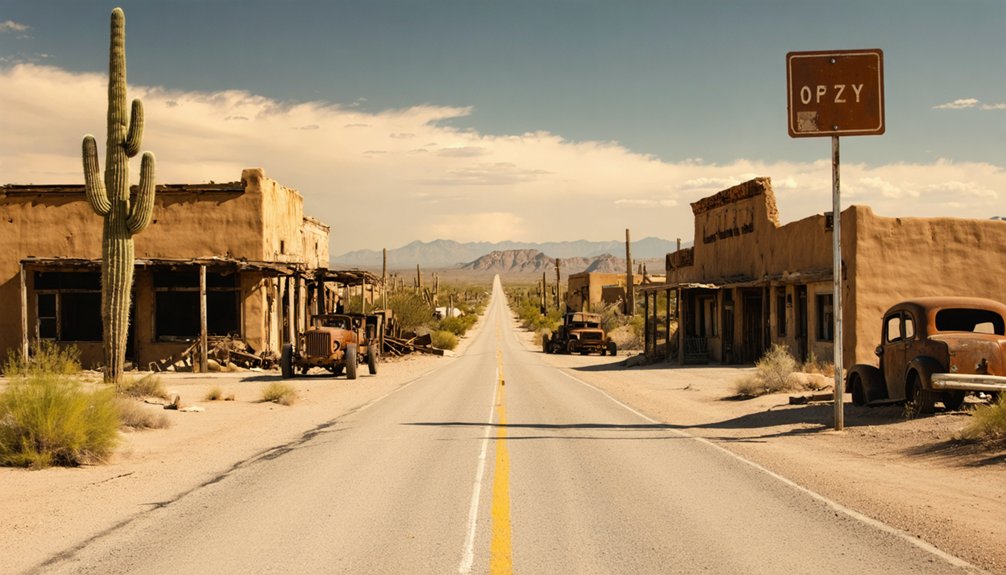
Getting to La Paz means heading roughly 5.8 miles north of Interstate 10 along State Route 1 — a 2WD-accessible route that doesn’t require a specialized off-road vehicle. The drive itself sets the tone, pulling you through open desert where local wildlife roams freely against a stark, sun-baked landscape.
Once you arrive, you’re stepping into one of Arizona’s quietly powerful historical landmarks — a fenced site sitting on Colorado River Indian Tribes tribal lands. Respect those boundaries; entry isn’t encouraged. You’re there to observe, absorb, and connect with the past.
Before you leave, check current road and weather conditions, carry plenty of water, and make sure someone knows your route and return time. La Paz rewards the prepared traveler, not the careless one.
Can You Legally Visit the La Paz Site?
Visiting La Paz isn’t as straightforward as pulling up, hopping out, and wandering the grounds. The site sits on Colorado River Indian Tribes tribal lands, which means you’re dealing with private land access restrictions, not a public park. The area is fenced, and entry isn’t encouraged. Respect that boundary.
What you can do is view the site from a distance and absorb its history without crossing into restricted territory. Think of it as a historical preservation stop rather than an explore-at-will destination. You’re there to observe, not intrude.
If you want closer access, contact the Colorado River Indian Tribes directly before your trip. Respecting tribal land sovereignty isn’t just legally smart — it’s the right way to travel free and responsibly.
What You’ll Actually See at the Site
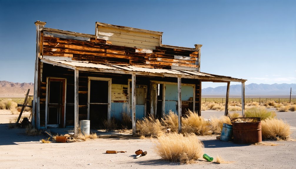
Once you’re standing at the edge of the La Paz site, don’t expect dramatic ruins or cinematic ghost-town aesthetics. What remains is quiet and stripped down — a single well, the foundations of one partially repaired stone structure, and low mounds of eroded adobe scattered across the ground.
There are no historic artifacts on display, no interpretive signs, and no preserved buildings to walk through. The fencing around the site keeps you at a respectful distance, so your view stays external.
What you do get is context. The river landscape surrounding La Paz tells its own story — flat, wide, and indifferent to what the town once needed from it. That shifted channel is exactly why La Paz vanished. Standing there, you’ll feel that absence.
What to Pack for the La Paz Drive
The drive out to La Paz is remote enough that preparation isn’t optional — it’s the difference between a smooth trip and a bad one. Pack more water than you think you’ll need; the desert doesn’t negotiate. Bring sunscreen, a hat, and sturdy shoes since the terrain near the fenced site isn’t exactly forgiving. Load up on snacks and keep a paper map handy — cell service won’t always cooperate out here.
You’re not hunting historical artifacts or chasing local legends through abandoned buildings. You’re visiting a remote, fenced site where history quietly survives in foundations and adobe mounds.
A camera, a charged phone, and a full gas tank matter more than anything elaborate. Travel light, stay aware, and let the landscape do the talking.
Which Ghost Towns Pair Well With a La Paz Visit?
La Paz works best as one stop on a longer loop, and pairing it with other ghost towns in the region turns a single detour into a full day of layered history. The broader southern Arizona corridor connects mining history sites that once drove territorial economies, giving you real context for how these towns rose and collapsed.
If you’re drawn to river trade heritage, the Colorado River corridor offers additional stops that echo La Paz‘s steamboat-era past.
Further south, the Ghost Town Trail near Tombstone covers 34 miles of rich, accessible history. The Patagonia loop adds another 45-mile circuit worth combining into a multi-day run.
Each stop builds on the last, letting you trace Arizona’s boom-and-bust story across desert terrain on your own terms.
Frequently Asked Questions
Who Discovered La Paz and What Other Towns Did They Found?
Pauline Weaver discovered La Paz, and you’ll find his historical significance runs deep — he also founded Weaver and Rich Hill. His legacy fuels cultural preservation efforts, connecting you to Arizona’s remarkable frontier past.
How Large Did La Paz Grow at Its Peak Population?
At its peak, La Paz grew to nearly 1,500 people, making it a thriving hub among historical ghost towns. You’d have found a bustling community carved into Arizona’s rugged desert landscapes before it faded into silence.
When Did La Paz Officially Operate a Post Office?
Amid whispers of local legends and historical landmarks, you’ll discover La Paz’s post office officially operated from January 17, 1865, to March 25, 1875 — a decade marking the town’s fleeting but fascinating pulse of life.
Is a Four-Wheel-Drive Vehicle Required to Reach the La Paz Site?
You don’t need a four-wheel-drive for this adventure! The road’s 2WD legal, so off-road vehicle requirements are minimal. Four-wheel-drive necessity isn’t a concern, letting you chase freedom toward La Paz without specialized equipment.
What Type of Tribal Land Is the La Paz Site Located On?
You’ll find La Paz sitting on Colorado River Indian Tribes tribal land, where tribal land history runs deep with indigenous cultural significance. Respect this sacred ground as you explore its fascinating, layered past during your visit.
References
- https://southernarizonaguide.com/three-days-touring-se-az-fantastic-country/
- https://www.arizonahighways.com/ghost-town-trail
- https://www.ghosttowns.com/states/az/lapaz.html
- https://www.thedieselapartment.com/scenic-drive-arizona-ghost-town-loop/