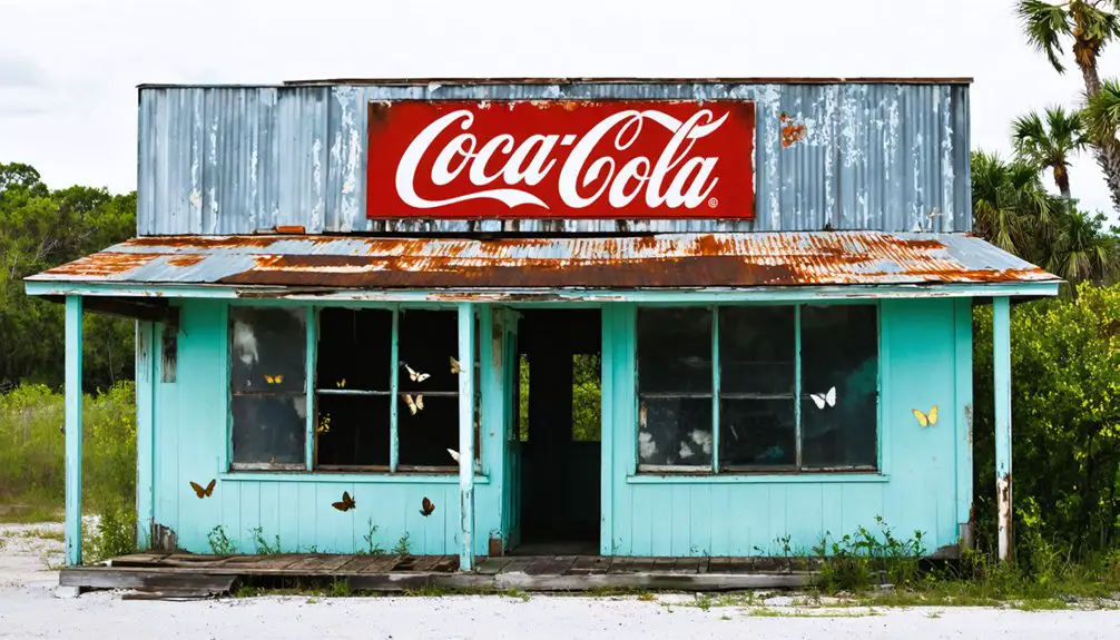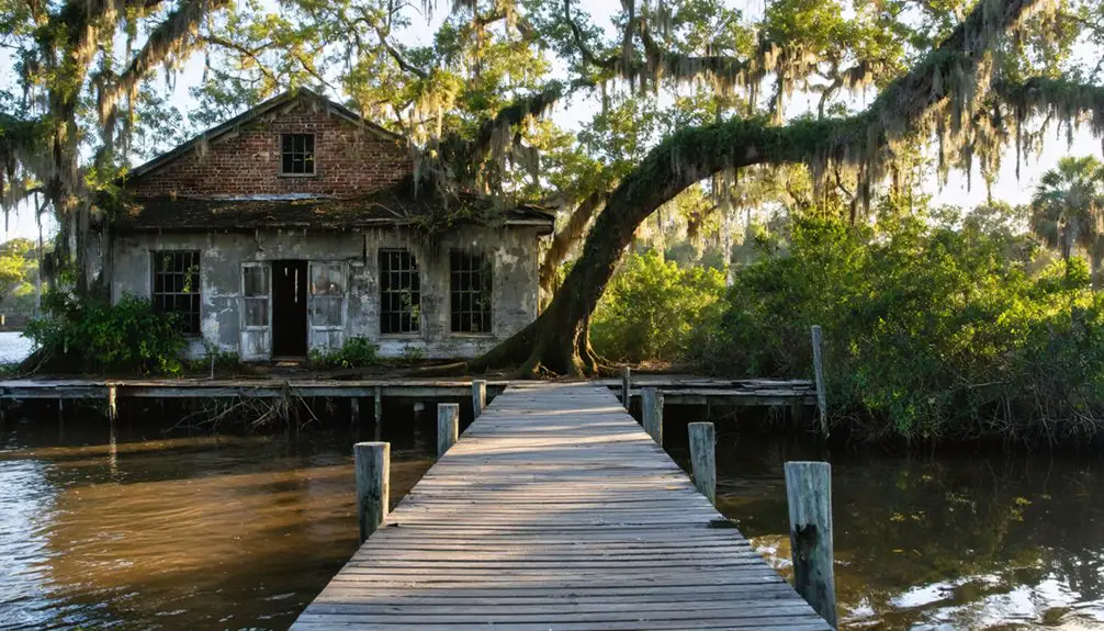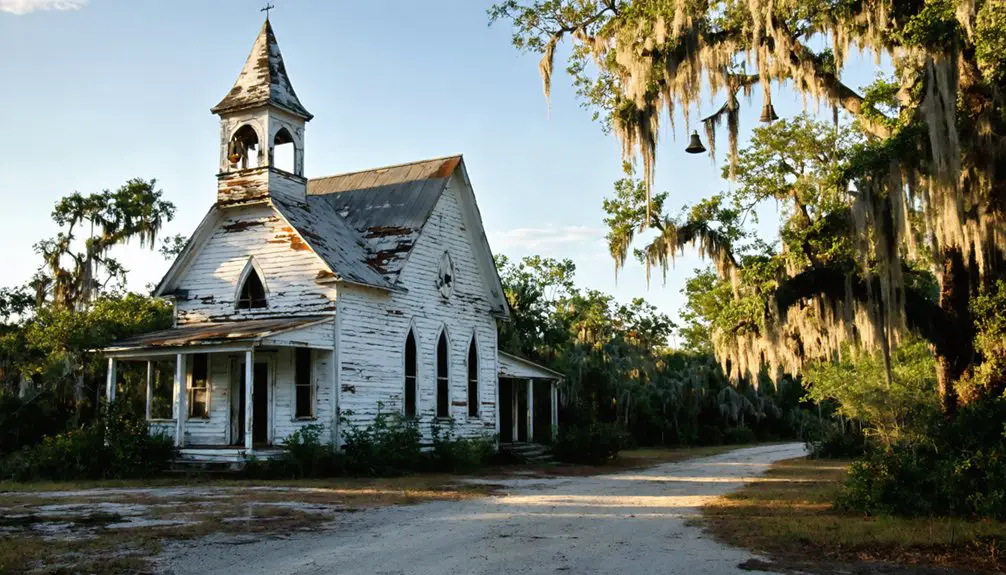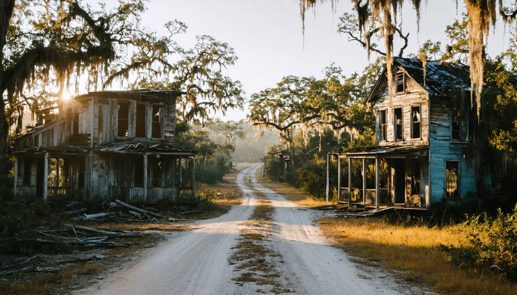
Planning a ghost town road trip to Saint Catherine, Florida means traversing rural Sumter County scrubland to coordinates 28°36.7’N, 82°8.3’W, where no signs or standing structures greet you. You’ll find cemetery traces, faint road remnants, and overgrown field boundaries as your only guides. Visit between November and March for cooler temperatures, bring offline maps, and research archival records before you go. There’s far more to uncover about this vanished community than its quiet landscape first lets on.
Key Takeaways
- Navigate to Saint Catherine using GPS coordinates 28°36.7’N, 82°8.3’W, and download offline maps due to limited cell service.
- Visit between November and March for cooler temperatures, lower humidity, and fewer mosquitoes.
- Book lodging in nearby Bushnell or Wildwood, as no visitor accommodations exist at the site.
- Research archival maps, census records, and aerial photographs beforehand to identify cemetery locations and settlement boundaries.
- Extend your trip by visiting nearby ghost towns like Centralia, Ellaville, and Oriole for a richer historical experience.
What Is Saint Catherine, Florida?
Although it never grew into a bustling settlement, Saint Catherine is a ghost town tucked within Sumter County, Florida, that’s earned its place on the map — coordinates 28°36.7’N, 82°8.3’W — as a quiet relic of the state’s vanished frontier communities.
You won’t find standing buildings or interpretive signs here. Instead, you’ll encounter scattered remnants that reflect Florida’s agricultural past, including cemetery traces and forgotten settlement grids.
Historical preservation efforts in Sumter County keep this kind of site relevant for curious travelers willing to dig deeper than tourist trails.
Before you visit, check visitor guidelines carefully, since access points near ghost towns often cross private or conservation land.
Respecting those boundaries lets you explore freely while keeping these fragile historical footprints intact for the next traveler.
Where Exactly Is Saint Catherine in Sumter County?
Tucked within Sumter County’s rural interior, Saint Catherine sits at coordinates 28°36.7’N, 82°8.3’W — a pinpoint in a landscape shaped more by scrubland, agricultural remnants, and quiet county roads than by any recognizable landmark. You won’t find a welcome sign or preserved main street waiting for you.
Instead, you’ll navigate by map coordinates and instinct, piecing together a place that exists mostly through local legends passed down by longtime county residents. Scattered cemeteries and faint land traces are your primary evidence that a community once took root here.
Preservation efforts in this area remain minimal, which means the land itself becomes your guide. Loading offline maps before you arrive is a smart move — cell service out here isn’t guaranteed.
How Did Saint Catherine Rise and Fall?
Once you’ve fixed your coordinates and accepted that Saint Catherine won’t announce itself, the next natural question is why it existed at all — and why it stopped. Like most Sumter County settlements, it likely grew around extractive industry — timber, turpentine, or agricultural trade — drawing workers who built tight-knit communities fast.
Railroads or river access probably shaped its early momentum.
Then came the familiar collapse: resource exhaustion, economic pressure, maybe the devastating freezes of 1894–1895. When the key institution disappeared, so did the reason to stay.
Today, local legends fill the gaps that documents can’t. Historical artifacts — scattered foundations, cemetery markers, faded road traces — carry what’s left of the story. You’ll need curiosity and research to reconstruct it honestly.
What Can You Actually See at Saint Catherine Today?
When you arrive at Saint Catherine, you’ll rely on coordinates (28°36.7’N, 82°8.3’W) to pinpoint the site, since no buildings or signs greet you.
You can look for cemetery remnants and field edges that hint at the agricultural life settlers once built here.
Train your eye on the landscape itself — old road traces, forest margins, and soil patterns often tell the story that surviving structures no longer can.
Coordinates Mark The Spot
Saint Catherine leaves no courthouse, no main street, and no weathered storefronts to greet you — just a set of coordinates, 28°36.7’N 82°8.3’W, dropping you into Sumter County’s quiet rural landscape.
Pull those numbers into your GPS and commit to reading the land itself. You’re hunting landscape clues now — fence lines running nowhere, soil disturbances, and tree clusters that once shaded a homestead.
Historical artifacts rarely survive openly here, but the earth remembers settlement patterns. Look for depressions suggesting old foundations, or remnant vegetation hinting at former yards and gardens.
Freedom-minded explorers thrive in exactly this kind of unscripted discovery. No velvet rope guides you; your instincts and preparation do.
Bring a printed map, trust the coordinates, and let Sumter County’s silence tell Saint Catherine‘s story.
Cemetery And Field Remnants
Though Saint Catherine leaves almost nothing standing, you’ll find the land itself holds quiet evidence of the lives once rooted here.
Historical relics don’t always mean crumbling buildings — sometimes they’re subtle markers written across the landscape through land use patterns and quiet remnants.
Look for these signs of the past:
- Cemetery plots — weathered stones tucked near tree lines mark where early settlers were laid to rest
- Field outlines — old agricultural boundaries still faintly shape the earth where crops like corn and sugarcane once grew
- Road traces — worn paths hint at former movement through what was once an active community
Bring a map, walk slowly, and let the land tell its story on your terms.
Reading The Landscape
Reading the landscape at Saint Catherine means shifting your eyes from what’s missing to what quietly remains. You won’t find standing structures or marked historic districts here, but landscape interpretation reveals the story if you know what to look for.
Old field edges hint at cleared farmland. Unusual tree lines often follow former fence rows or road traces. Subtle grade changes in the soil can mark where buildings once stood.
The historical significance of this place lives in those quiet details. You’re fundamentally reading a text written in dirt, vegetation, and silence. Bring a printed archival map, compare it against what surrounds you, and the ghost town starts to take shape.
Saint Catherine rewards the traveler who pays close attention to the land itself.
Ghost Towns Near Saint Catherine Worth Adding to Your Route
Once you’ve visited Saint Catherine, you can easily extend your route to take in several other abandoned settlements scattered across Sumter and neighboring Hernando and Suwannee counties.
Centralia, a logging town that once housed around 1,500 residents before vanishing by 1922, and Ellaville, which thrived on timber until its mill burned in 1898, both reward curious travelers who don’t mind trading intact buildings for historical context.
You’ll find that each stop layers onto your understanding of why these Florida communities rose fast, burned bright, and disappeared just as quickly.
Nearby Abandoned Town Stops
Why stop at just one ghost town when Sumter County and its neighboring counties hold several forgotten settlements worth weaving into your route? Each stop rewards curiosity with genuine settlement remnants and historical artifacts hiding in plain sight.
- Alto Cemetery, Sumter County – Marks a vanished farming community where residents once cultivated corn, sugarcane, and sweet potatoes.
- Centralia, Hernando County – A logging town that housed roughly 1,500 residents between 1910 and 1922 before timber exhaustion ended everything.
- Oriole, Hernando County – A quiet abandonment sealed when its post office closed around 1898, leaving little but forest.
Chart these stops on your map, pack a good camera, and you’ll uncover a Florida most travelers never see.
Regional Ghost Town Routes
Stretching your route beyond Saint Catherine opens up a rewarding chain of ghost towns scattered across Sumter, Hernando, and Suwannee counties. Head toward Centralia in Hernando County, where a logging operation once supported 1,500 residents before vanishing around 1922.
Archaeological insights emerge at sites like Alto Cemetery, where scattered graves hint at a community that raised cattle, corn, and sugarcane. Push further north to Ellaville in Suwannee County, where historical preservation efforts keep the memory of Drew’s massive mill operation alive despite little remaining above ground.
Each stop rewards curiosity over spectacle — you’re reading landscapes rather than touring museums. Old rail corridors, forest edges, and county archives become your guidebook, giving you the freedom to reconstruct forgotten Florida on your own terms.
Cemeteries and Markers Near Saint Catherine Worth Stopping For
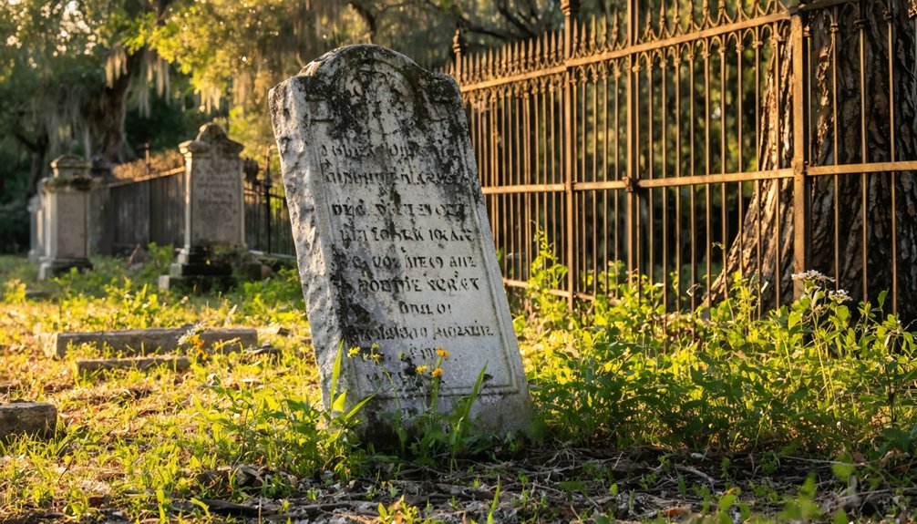
Although Saint Catherine itself leaves little to see above ground, the cemeteries scattered across Sumter County tell a richer story than any standing structure could. Historic markers and cemetery artifacts connect you directly to settlers who farmed, traded, and built communities from scratch.
The ground holds few answers, but the cemeteries of Sumter County speak for those who built everything from nothing.
Three stops worth adding to your route:
- Alto Cemetery – Evidence survives here of a community that raised cattle, horses, corn, sugarcane, and sweet potatoes before vanishing from maps entirely.
- Roadside historic markers – Watch for county-maintained signs along rural routes that identify former post office locations and settlement boundaries.
- Forest-edge grave sites – Small family plots appear near old agricultural clearings, often unmarked on modern GPS systems.
Bring printed archival maps. They’ll reveal what your phone never will.
The Best Time of Year to Visit Saint Catherine
Once you’ve mapped out which cemeteries and markers you want to find, timing your visit becomes the next practical decision. Florida’s seasonal weather makes a real difference when you’re exploring overgrown sites with limited shade.
November through March offers cooler temperatures, lower humidity, and far fewer mosquitoes, giving you the freedom to move through wooded areas comfortably. Summer months bring intense heat, afternoon storms, and biting insects that can cut your exploration short.
Saint Catherine itself offers no visitor accommodations, so you’ll want to book lodging in nearby Bushnell or Wildwood before you arrive. Arriving midweek during the cooler months also means lighter traffic on rural roads.
Plan your day trips from a base camp, and you’ll cover far more ground without burning out early.
How to Reach Saint Catherine and What to Expect on Arrival
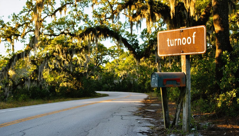
To reach Saint Catherine in Sumter County, you’ll navigate rural roads using the coordinates 28°36.7’N 82°8.3’W as your anchor point, so load them into your GPS before you leave.
Once you arrive, don’t expect signage, storefronts, or preserved structures — this ghost town survives mainly as a historical footnote scattered across the landscape.
You’ll find the experience rewarding not through visible ruins but through the quiet atmosphere and the knowledge that a forgotten community once took root right where you’re standing.
Getting There By Road
Reaching Saint Catherine in Sumter County is straightforward if you’ve got a reliable GPS and the coordinates 28°36.7’N 82°8.3’W loaded and ready. Rural roads define this stretch of Florida, so prepare for narrow lanes and limited signage.
Follow these steps before you roll out:
- Download offline maps — cell coverage thins considerably once you’re deep into Sumter County’s back roads.
- Cross-reference old railroad routes and archival maps to better understand the local history surrounding the area.
- Note nearby archaeological sites and cemetery locations, since visible landmarks are scarce.
You’ll arrive at a quiet landscape rather than a dramatic ruin. That’s the honest reality of Florida ghost-town travel — freedom comes from reading the land itself, not from guided signs pointing the way.
What Awaits On Arrival
When you pull up to Saint Catherine’s coordinates in Sumter County, don’t expect a preserved main street or interpretive signs — you’ll find open land, quiet rural roads, and the kind of stillness that only abandoned places carry.
Historical preservation here isn’t brick and mortar; it lives in scattered cemeteries, forgotten field boundaries, and fragments of old road traces cutting through second-growth forest.
Locals sometimes carry their own local legends about what once stood where, so talking to longtime residents can reward your curiosity.
Bring a printed map, wear sturdy shoes, and treat the landscape as your primary document.
The absence of visible ruins doesn’t mean nothing happened here — it means you’ll have to read the land itself to understand what Saint Catherine once was.
What Saint Catherine’s Landscape Still Reveals Today
Although Saint Catherine left behind no grand ruins or preserved storefronts, the landscape itself still carries quiet evidence of what once stood there. You’ll notice subtle landscape features that reward careful observation:
- Old road traces cutting through overgrowth, hinting at former travel corridors and settlement grids
- Scattered cemeteries preserving historical artifacts like weathered markers that confirm where communities once rooted themselves
- Forest edges and field boundaries reflecting cleared agricultural land that early settlers actively worked
These details won’t announce themselves loudly, so you’ll need to slow down and look deliberately.
The coordinates 28°36.7’N, 82°8.3’W place you near Sumter County terrain shaped by farming and small-scale industry. Reading the land itself becomes your most honest connection to what Saint Catherine actually was.
How to Research Saint Catherine Before You Go

Because Saint Catherine left almost no visible infrastructure behind, you’ll need to do your homework before you ever leave the driveway. Start with archival maps from the Florida State Archives or the University of Florida’s digital collections. Old plat maps and railroad surveys often reveal road traces and settlement boundaries that modern maps erase completely.
Dig into Sumter County’s historical records next. County deed books, census entries, and old post office directories can confirm when Saint Catherine functioned as an active community. Cross-reference those findings with aerial photographs from the 1930s and 1940s, which sometimes expose field patterns or structure footprints invisible at ground level.
Coordinates alone won’t prepare you for what you’ll find. Solid research transforms an empty stretch of Florida countryside into a place with a genuine, recoverable story.
Frequently Asked Questions
Are There Any Guided Ghost Town Tours Available in Sumter County?
No formal guided ghost town tours exist in Sumter County, but you’ll uncover rich historical preservation stories and local legends by exploring Alto Cemetery, old road traces, and archival maps on your own adventurous terms.
Can I Legally Metal Detect or Artifact Hunt at Saint Catherine?
“Look before you leap” — you’ll want to research legal restrictions carefully before detecting at Saint Catherine. Florida’s artifact laws protect historical sites, so always verify land ownership and secure proper permits before you dig.
Are There Any Books Specifically Written About Florida’s Ghost Towns?
You’ll find books covering Florida’s ghost towns, blending historical preservation with storytelling. These reads highlight forgotten tourist attractions, helping you uncover lost communities. Explore titles like *Florida’s Lost Tribes* or search university press catalogs for regional ghost-town guides.
Is Camping Permitted Near the Saint Catherine Coordinates in Sumter County?
The knowledge doesn’t confirm camping near Saint Catherine’s coordinates, but you’ll find nearby state forests offer sites perfect for historical preservation exploration and wildlife observation — giving you the freedom to immerse yourself in Florida’s forgotten past overnight.
Have Any Films or Documentaries Been Made About Florida Ghost Towns?
You’ll find that several documentaries touch on Florida’s ghost towns, weaving historical preservation and local legends into compelling stories. They’ll ignite your wanderlust and deepen your connection to these forgotten, freedom-filled landscapes waiting to be explored.
References
- https://floridatrailblazer.com/tag/ghost-towns/
- https://www.youtube.com/watch?v=1egiu_Y3IQM
- https://www.nps.gov/places/st-catherine-s-island-ga.htm
- https://www.journaloffloridastudies.org/0102ghosttowns.html
- https://en.wikipedia.org/wiki/List_of_ghost_towns_in_Florida
- https://floridanature.wordpress.com/2008/10/19/hunting-for-a-ghost-town-in-the-forest/
- https://en.wikipedia.org/wiki/Ellaville
- https://www.florida-backroads-travel.com/florida-ghost-towns.html