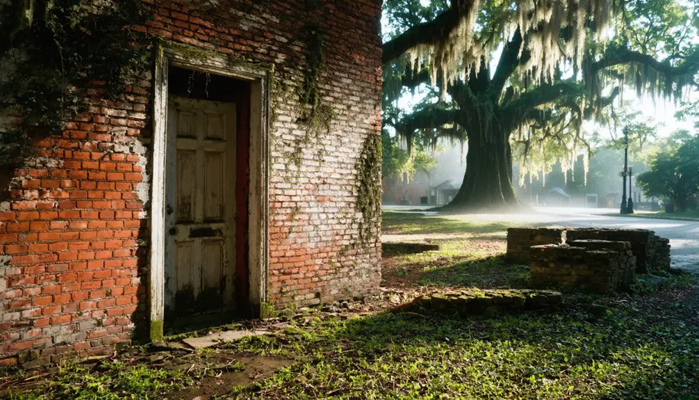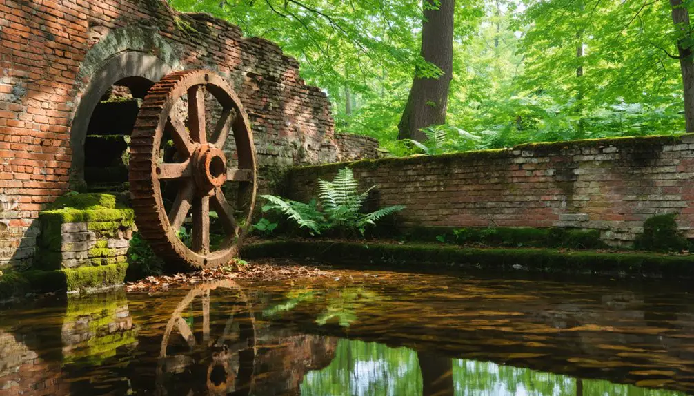
Virginia’s ghost towns number over 1,263 vanished or historical sites scattered across the state, and you’ll find them shaped by forces like mining collapses, failed canals, coastal storms, and military takeovers. Some, like Jamestown, survive as historic sites, while others like Lignite are fully abandoned. A few are locked behind federal boundaries you can’t legally cross. The stories behind each abandoned community run deeper than any quick summary can capture.
Key Takeaways
- Virginia has over 1,263 vanished or historical sites, with ghost towns caused by mining collapse, canal failure, storms, and military acquisition.
- Jamestown and Henricus are early colonial ghost towns linked to Virginia’s first English settlements, with some erased before full establishment.
- Mining towns like Lignite, Howrytown, and Kopp were abandoned after industrial decline, as single-industry communities rarely survive resource depletion.
- Matildaville disappeared after the Potowmack Canal failed around 1828, showing how transportation infrastructure shifts destroyed entire communities.
- Accessible ghost town regions include Richmond, Tidewater, and coastal Virginia; confirm site access via satellite maps before visiting.
What Makes a Town a Ghost Town in Virginia?
Virginia doesn’t have a single definition for what counts as a ghost town, and that ambiguity matters when you’re sorting through the historical record. You’ll find three overlapping categories: fully abandoned towns, former populated places with scattered residents, and historic sites preserving historical architecture but functioning as tourist destinations.
Jamestown fits that third category, while Lignite fits the first.
Local legends often fill the gaps where documentation runs thin, shaping how communities remember vanished places. Researchers working from place-name surveys have identified over 1,263 vanished or historical sites across Virginia, far beyond any short curated list.
The causes vary—colonial relocation, canal failure, mining collapse, storm damage, military acquisition—but the result is consistent: a place loses its original economic or social function and stops sustaining permanent population.
Virginia’s Oldest Ghost Towns From the Colonial Era
Some of the earliest ghost towns in Virginia trace directly to the first decades of English colonization, when settlement patterns shifted quickly under pressure from failed economies, violence, and changing trade routes. Jamestown stands as the most recognized example, though historical preservation efforts have transformed it into a major destination rather than a purely abandoned site.
Henricus and Falling Creek represent earlier, starker losses — colonial settlements erased before they could fully establish themselves. Hanover Town declined as river commerce shifted away from its location.
You’ll find that local legends surrounding these places often fill gaps where documentation ends, mixing documented fact with inherited memory. These sites collectively show how Virginia’s oldest communities could vanish within a generation of their founding.
Virginia Ghost Towns the Mining Industry Left Behind
When the demand for lignite coal collapsed in the late 19th century, it left towns like Lignite with no economic reason to survive. You’ll find that Virginia’s mining ghost towns share a common pattern: extraction drove settlement, and exhaustion drove abandonment.
Historical preservation efforts at these sites remain inconsistent, leaving some locations with visible foundations while others have nearly vanished. Local folklore often fills the gaps where documentation fails, keeping the memory of these communities alive through passed-down stories rather than official records.
Howrytown and Kopp follow similar trajectories, each emptied once their industrial base disappeared. Visiting these sites connects you directly to a broader truth about economic freedom: communities built on single industries rarely outlast the resource that created them.
How Canals and Railroads Built and Buried Virginia Towns
Few forces reshaped Virginia’s settlement geography more decisively than canals and railroads. When the Potowmack Canal failed to deliver commercial viability, Matildaville collapsed alongside it, closing around 1828 and leaving ruins now visible in Great Falls Park. You can still visit those remains today, where historical preservation efforts protect what transportation ambition abandoned.
Railroads followed the same pattern—they’d build towns overnight, then erase them when lines rerouted or traffic dried up. Communities that once thrived as railroad stops lost their entire economic purpose within a generation. Town revitalization rarely followed, because the infrastructure that created these places was simply gone.
Understanding this cycle helps you recognize that Virginia’s ghost towns weren’t failures of people—they were casualties of shifting economic networks that no settlement could outlast.
Coastal Virginia Ghost Towns Swallowed by Storms
Storms have erased coastal Virginia communities as completely as any economic collapse. Wash Woods stands as the clearest example — a seaside fishing settlement that once supported around 300 residents before the Ash Wednesday Storm of 1962 effectively ended it.
You’ll find that urban legends and folklore tales have grown around these vanished coastal places, often obscuring the documented historical record. The actual causes are straightforward: storm surge, flooding, and the federal government’s expanding control over barrier island land made rebuilding impossible or illegal.
Colchester and Warwick reflect earlier coastal and river-trade communities that faded as transportation patterns shifted. When you research these sites, you’ll discover that physical remains range from scattered foundations to nothing visible at all.
When the Military Took Over Virginia Ghost Towns
Military acquisition removed Virginia communities just as permanently as any storm, and the process was often faster. When the U.S. Navy expanded Camp Peary in 1942, it emptied both Bigler’s Mill and Magruder almost overnight. Residents didn’t gradually drift away — the federal government took the land and restricted access permanently.
Military encroachment didn’t preserve these communities; it froze them behind fences. You can’t walk through either site today without authorization. That land acquisition erased two functioning Tidewater settlements from public life in a single wartime decision.
Structures reportedly remain standing, but they’re inaccessible to the public. Virginia’s ghost-town record shows that military expansion ranks alongside economic collapse and natural disasters as one of the most decisive forces that eliminated communities from the landscape.
How Many Virginia Ghost Towns Actually Exist?
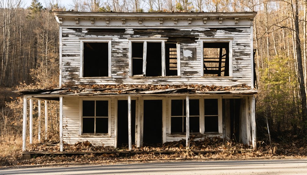
Counting Virginia’s ghost towns depends entirely on how you define the term. One curated list documents 21 named places, but broader surveys reveal far more abandoned history across the state.
Counting Virginia’s ghost towns hinges on definition — one list names 21, but abandoned history runs far deeper.
Three frameworks shape the count:
- Strict ghost towns — fully abandoned settlements with visible ruins, tied to historical preservation efforts
- Former populated places — communities that lost function but left local legends and partial traces
- Vanished sites — a large place-name survey identifies 1,263 historical or disappeared Virginia locations
You’re dealing with overlapping categories, not a clean number. Causes range from colonial-era relocation to military acquisition, canal failure, and storm damage.
The honest answer is that Virginia’s ghost-town count shifts based on which definition you apply and which sources you trust.
The Virginia Ghost Towns You Can Still Visit Today
Several Virginia ghost towns remain accessible today, offering visible ruins, interpretive trails, and documented history rather than just a name on a list.
Matildaville sits within Great Falls Park, where you can walk canal ruins abandoned after 1828.
Wash Woods preserves structural remains along Virginia’s Outer Banks, and urban legends tied to its 1962 storm abandonment draw visitors seeking both folklore stories and documented evidence.
Jamestown remains open as a managed historic site, giving you direct access to colonial-era foundations.
Carvins Cove offers accessible terrain with traceable settlement remnants.
Note that Bigler’s Mill and Magruder remain restricted under federal control, so access isn’t guaranteed everywhere.
You’ll find that combining official site documentation with local folklore stories produces the most complete picture of each location’s actual history.
Virginia Ghost Towns Locked Behind Federal and Military Land
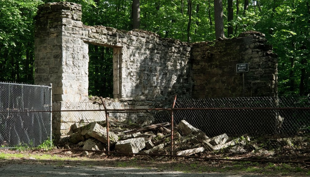
Not every Virginia ghost town is yours to explore freely — federal and military expansion claimed several communities outright. In 1942, the U.S. Navy cleared both Bigler’s Mill and Magruder to establish Camp Peary, displacing residents and sealing the sites from public access.
Today, you can’t walk those grounds; structures reportedly remain, but restricted federal land keeps the evidence of those lost communities effectively invisible.
Federal Takeover Erased Communities
While most Virginia ghost towns remain accessible to curious visitors, some have vanished behind federal boundaries that the public can’t cross. Military and government acquisition erased communities entirely, turning cultural preservation into a bureaucratic afterthought and accelerating urban decay without public accountability.
In 1942, the U.S. Navy cleared two documented settlements for Camp Peary:
- Bigler’s Mill – a functioning community demolished for wartime expansion
- Magruder – a populated settlement seized and emptied under federal authority
- Elko Tract – repeatedly listed among erased Virginia ghost towns with heavily diminished surface traces
Structures reportedly remain on these properties, but you can’t access them. Federal takeover didn’t just relocate residents — it permanently severed communities from public memory, leaving no opportunity for documentation, visitation, or historical reckoning.
Bigler’s Mill And Magruder
Bigler’s Mill and Magruder once functioned as populated Tidewater communities before the U.S. Navy cleared them in 1942 for Camp Peary. Federal acquisition displaced residents and shut down ordinary civilian access, effectively locking these towns behind restricted military land.
You can’t walk their streets or examine their foundations without government authorization. Structures reportedly remain, but historical preservation efforts face obvious barriers when federal authority controls entry.
Local legends about both communities have survived through descendant accounts and regional records, keeping their memory alive despite physical inaccessibility.
Their erasure reflects a broader pattern where military expansion permanently altered Virginia’s settlement landscape. These towns remind you that government power can override community continuity, transforming living places into restricted zones with little recourse for those displaced.
Restricted Access Today
Some of Virginia’s ghost towns aren’t just abandoned—they’re actively off-limits, locked behind federal boundaries that prevent any independent examination of what remains. Urban decay and population decline shaped these sites long before the government took over, but federal acquisition sealed them permanently from public scrutiny.
Bigler’s Mill and Magruder represent this pattern clearly. The U.S. Navy emptied both communities in 1942 for Camp Peary, and access remains restricted today.
Three key realities define restricted ghost towns in Virginia:
- You can’t walk the grounds or document remaining structures independently.
- Historical evidence of urban decay stays hidden from researchers and citizens.
- Population decline that preceded federal takeover goes largely unexamined without access.
These sites exist in a documented record, but not in your reach.
Where Should You Start Your Virginia Ghost Town Road Trip?
If you’re planning a Virginia ghost town road trip, you’ll want to anchor your route around the regions with the highest concentration of accessible sites. The Richmond and Tidewater areas give you strong starting options, putting colonial-era sites like Westham, Warwick, and Colchester within a manageable drive of each other.
From there, you can extend your route westward toward inland industrial sites like Ca Ira and Lignite, building a logical progression that moves from colonial decline to mining and railroad abandonment.
Best Starting Locations
Planning a Virginia ghost town road trip works best when you anchor your route around the state’s most concentrated clusters of abandoned and former places. Three regions offer the strongest combination of historical preservation and accessible tourist attractions:
- Northern Virginia / Great Falls area — Matildaville’s ruins sit inside Great Falls Park, making it an easy, well-documented starting point.
- Richmond / Tidewater corridor — Westham, Warwick, and Colchester cluster near major highways, letting you cover multiple former settlements efficiently.
- Coastal Virginia / Outer Banks border — Wash Woods represents a documented post-1962 abandonment with visible remnants near the North Carolina line.
Starting from any of these three hubs lets you build outward logically, minimizing backtracking while maximizing exposure to Virginia’s documented ghost town landscape.
Planning Your Route
Once you’ve identified your best starting hub, the next step is connecting those anchor points into a logical sequence that reduces drive time and groups sites by region. Virginia’s ghost towns span coastal Tidewater, Piedmont corridors, and inland coalfields, so routing by geography prevents unnecessary backtracking.
Start with accessible sites near modern tourism infrastructure, then move toward restricted or remote locations. Pair Colchester and Westham along the Richmond corridor, then push toward Great Falls for Matildaville’s canal ruins. Coastal routes can link Wash Woods with other Tidewater remnants.
Be aware that urban development has erased or obscured several sites entirely, so confirm current access before committing to a detour. Cross-reference multiple compiled lists against satellite mapping to verify what’s actually visible on the ground before you go.
Frequently Asked Questions
Are Any Virginia Ghost Towns Privately Owned and Off-Limits to Visitors?
Sure, you can visit—if you enjoy trespassing! Private ownership and restricted access aren’t myths; some Virginia ghost towns sit on land where you’ll find “No Trespassing” signs guarding forgotten history you can’t legally explore.
Do Virginia Ghost Towns Appear on Official State Historical Registers?
Yes, you’ll find many qualify for historical preservation listings, with sites like Jamestown and Matildaville documented on official registers. These designations often drive tourism development, giving you protected access to Virginia’s most historically significant abandoned places.
Have Any Virginia Ghost Towns Been Successfully Restored or Repopulated?
Like Jamestown rising from ash, you’ll find restoration efforts have breathed life into a few Virginia ghost towns. Haunted legends draw visitors, turning ruins into heritage sites — though true repopulation remains rare across the state’s documented abandoned places.
Are There Guided Ghost Town Tours Available Anywhere in Virginia?
You’ll find guided tours at historical landmarks like Jamestown and Great Falls Park’s Matildaville ruins. Several abandoned sites also offer ranger-led walks, letting you explore Virginia’s ghost town history firsthand with documented historical context.
Do Any Virginia Ghost Towns Have Documented Paranormal or Haunting Legends?
Like shadows clinging to crumbling walls, haunted legends surround Virginia’s ghost towns. You’ll find paranormal sightings documented at Jamestown, Matildaville, and Wash Woods, where visitors actively report eerie encounters tied to each site’s tragic historical past.
References
- https://en.wikipedia.org/wiki/List_of_ghost_towns_in_Virginia
- https://en.wikipedia.org/wiki/Category:Ghost_towns_in_Virginia
- https://sites.rootsweb.com/~vatttp/ghosttowns/ghosttowns.htm
- https://en.wikipedia.org/wiki/Category:Former_populated_places_in_Virginia
- https://wvtourism.com/5-wv-ghost-towns/
- https://www.onlyinyourstate.com/experiences/virginia/va-ghost-towns
- https://www.islands.com/2097787/once-thriving-virginia-towns-now-abandoned/
- https://www.youtube.com/watch?v=9JXh0b9G1yc
- https://ghosttowntrails.com/virginia