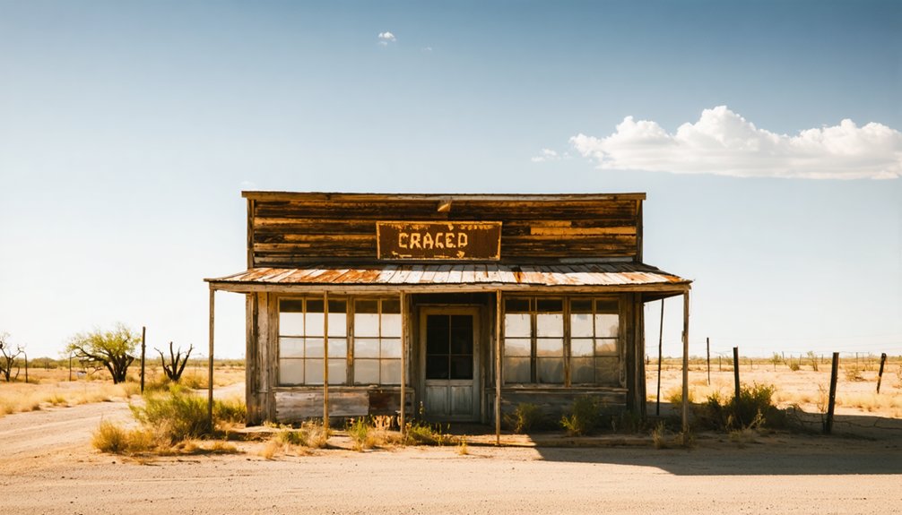
Planning a ghost town road trip to Turpentine, Texas means heading into the remote piney woods of northwestern Jasper County, about 70 miles north of Beaumont. Founded around 1908 by the Western Naval Stores Company, this industrial settlement vanished by the late 1920s when the forests were depleted and the railroad shut down. There’s no signage, no structures, and no easy access — just dense woodland and a fascinating story waiting to be uncovered.
Key Takeaways
- Turpentine, Texas, sits in northwestern Jasper County, roughly 70 miles north of Beaumont, with Aldridge serving as your primary navigation landmark.
- No buildings, signs, or structures remain; nature has fully reclaimed the site, so manage expectations before visiting.
- Travel four miles east of Aldridge, following the old Burr’s Ferry, Browndell, and Chester Railroad corridor to locate the site.
- Visit in fall or winter when thinning vegetation and clearer sightlines improve your chances of spotting historical remnants.
- Bring topographic maps, GPS, offline satellite imagery, water, insect repellent, sturdy boots, and a first-aid kit for safe exploration.
What Was Turpentine, Texas?

Tucked deep in the dense forests of northwestern Jasper County, Turpentine was a short-lived Texas work camp that grew around a single industrial operation — and vanished just as quickly once that operation ran dry. The Western Naval Stores Company established its turpentine franchise here in 1908, and by 1909, a railroad spur and post office made it a functioning settlement.
Workers arrived, the trees fell, and the resin flowed — until it didn’t. By the mid-1920s, the timber was gone, the workers had scattered, and the post office closed in 1926.
Today, preservation challenges make tracing its exact footprint difficult, and local legends are about all that keep its memory alive. You won’t find it on modern maps, but its story is absolutely worth chasing.
How a Railroad Built the Town of Turpentine
When you trace Turpentine’s origins, you find a railroad at the center of everything. In 1907, the construction of a rail line from Rockland, Tyler County, to Aldridge, Jasper County, cracked open the dense forests of northern Jasper County to major lumber interests.
The Western Naval Stores Company moved in quickly, securing a turpentine franchise near Aldridge in 1908. By 1909, the railroad had extended four miles east to the company’s new camp — a settlement that took its name directly from the industry running it.
Railroad Opens The Region
Before Turpentine ever appeared on a map, a railroad had to cut through the dense forests of northern Jasper County first. In 1907, the Burr’s Ferry, Browndell and Chester Railroad pushed through from Rockland in Tyler County to Aldridge in Jasper County, cracking open a region that timber interests had long eyed hungrily.
That single rail line changed everything. It gave lumber and naval stores companies direct access to stands of timber that were previously too remote to exploit profitably. Local legends suggest the forests felt almost impenetrable before the crews arrived.
Once the tracks were laid, though, industrial momentum took over fast. The railroad didn’t just connect towns — it created them, laying the groundwork for the historical architecture and rough camp settlements that would define this corner of East Texas.
Western Naval Stores Arrives
With the railroad cutting through the pines, it didn’t take long for industry to follow. In 1908, the Western Naval Stores Company secured a turpentine franchise and lease near Aldridge, planting the seeds of a new settlement deep in Jasper County’s forests.
The following year, railroad expansion pushed the line four miles east of Aldridge, directly to the company’s camp. Workers arrived, a post office opened, and the camp earned its name — Turpentine — straight from the historical industry that built it.
You’re looking at a place that existed purely because of one company’s ambition and one railroad’s reach. No grand civic vision, no town square — just timber, resin, and labor carved out of the East Texas wilderness.
That rawness is exactly what makes it worth finding.
The Camp Gets Named
Once the railroad pushed four miles east of Aldridge in 1909, the camp had everything it needed to become a real place — a name, a post office, and a reason to exist. Workers needed mail service, and that post office made Turpentine an official settlement on the map.
The name itself tells the whole story. You don’t need historical artifacts or old photographs to understand what drove this place — the industry named it outright.
As you trace this ghost town’s origins, you’ll recognize that even the smallest community remnants point back to that single industrial purpose. The railroad delivered the workers, the company supplied the work, and the name sealed the identity.
Turpentine existed because Western Naval Stores operated there, plain and simple.
Why Turpentine, Texas Became a Ghost Town
Though Turpentine thrived as a busy work camp in the early 1900s, its fate was sealed the moment the surrounding forests ran dry.
Turpentine flourished until the forests gave out — and when they did, so did everything else.
Railroad expansion briefly extended the line nine miles east toward the Angelina River in 1922, suggesting a future beyond timber. But bridging that river proved too costly, and the spur was abandoned within three years.
Industrial decline followed fast. By the mid-1920s, loggers had cut through most of the dense northern Jasper County forests, leaving little reason for the Western Naval Stores Company to keep operating.
Workers packed up and moved on, chasing work elsewhere. The post office closed in 1926, and the railroad shuttered the following year.
Turpentine didn’t fade slowly — it simply stopped being necessary.
Is Turpentine Worth a Standalone Trip?
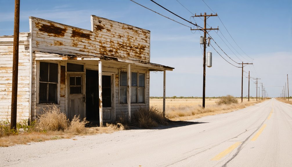
Turpentine’s remote setting in the dense forests of northwestern Jasper County makes it a tough sell as a standalone destination, especially since the site doesn’t appear on modern highway maps and offers no visitor infrastructure.
You’ll get far more out of your drive if you pair it with other East Texas ghost towns, turning a single stop into a broader historical route through the region’s vanished timber camps.
Planning a multi-site trip lets you spread the travel time across more discoveries and gives the whole journey a richer sense of the industry that once dominated this corner of Texas.
Remote Location Limits Access
Because Turpentine doesn’t appear on 1984 highway or geological survey maps, finding the site takes real commitment—and that’s before you factor in the dense forests of northern Jasper County surrounding it.
There’s no urban development marking the spot, no restored buildings, and no visitor infrastructure waiting for you. The region’s cultural significance lives entirely in its history, not its present-day accessibility.
You’re looking at a former work camp that vanished after the timber ran out in the mid-1920s and the post office closed in 1926.
Getting there means researching back roads, studying historical railroad corridors, and accepting that the destination rewards curiosity over convenience.
If you crave that kind of raw, unfiltered exploration, Turpentine delivers—but it won’t make finding it easy.
Pair With Nearby Sites
Given how little remains at the site itself, Turpentine works far better as one stop on a longer East Texas ghost-town route than as a standalone destination. Its historical significance runs deep — railroad expansion, naval stores production, and industry decline all shaped this forgotten corner of Jasper County — but the physical site won’t hold you long.
Pair it with other abandoned lumber and timber communities scattered across East Texas to build a richer picture of the region’s boom-and-bust past. You’ll connect the dots between depleted forests, retreating railroads, and vanished settlements across multiple counties.
That broader context transforms a quick roadside stop into a genuinely rewarding journey through a landscape that once roared with industrial energy and now sits quietly reclaimed by the forest.
Where Exactly Is the Turpentine, Texas Site?
Nestled in the dense forests of northwestern Jasper County, the ghost town of Turpentine sits about seventy miles north of Beaumont along what was once the Burr’s Ferry, Browndell and Chester Railroad corridor.
The settlement stood roughly four miles east of Aldridge, where the railroad extended in 1909 to serve the Western Naval Stores Company’s operation.
Don’t expect signage or a marked pullover.
By 1984, Turpentine didn’t appear on highway or geological survey maps, which speaks to how completely the landscape reclaimed it.
That absence carries its own cultural significance — a reminder of how quickly industrial camps vanished once resources ran dry.
Your best approach is researching the Aldridge area as your geographic anchor, then exploring the surrounding forest with historical preservation in mind rather than expecting a defined destination.
How to Reach the Turpentine Ghost Town Site
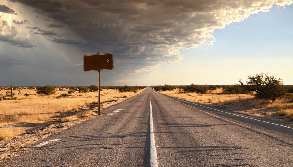
Start your route planning by targeting northwestern Jasper County, roughly seventy miles north of Beaumont, since that’s your geographic anchor for this trip.
Once you’re in the county, you’ll need to navigate rural back roads carefully, as the region’s dense forests and limited signage make precise navigation essential.
Don’t expect the site to appear on standard maps — Turpentine hadn’t earned a spot on 1984 highway or geological survey maps, so local research and historical records are your best tools for pinpointing the exact location.
Starting Your Route Planning
Because Turpentine no longer appears on highway or geological survey maps—it hadn’t since at least 1984—you’ll need to anchor your route around the landmarks that once defined it. Start by positioning yourself relative to Beaumont, roughly seventy miles south, then navigate toward northwestern Jasper County using Aldridge as your primary reference point.
Turpentine sat four miles east of Aldridge along what’s now a vanished rail corridor.
Before you leave home, pull together historical photographs and an industry overview of the Western Naval Stores Company’s turpentine operation. These resources give you visual context for reading the landscape once you arrive.
These resources are crucial because dense East Texas forest has reclaimed most of what stood here, so knowing what you’re looking for makes the difference between a purposeful exploration and an aimless drive.
Navigating Rural Jasper County
Once you’ve fixed Aldridge as your navigational anchor, the route into northwestern Jasper County becomes manageable. Head roughly four miles east of Aldridge, following the corridor the old Burr’s Ferry, Browndell and Chester Railroad once traced through dense East Texas forest.
That rail line carried turpentine workers here in 1909, and its ghost still shapes the landscape.
Expect narrow rural roads, thick timber, and limited signage. Turpentine won’t appear on modern maps, so download offline satellite imagery before leaving.
Talk to longtime locals when you can — their knowledge of local legends surrounding the abandoned operation often reveals details no database captures.
Keep your eyes open for historical artifacts like rail grades or depression-era clearings.
Freedom-seekers who embrace unpaved exploration will find this corner of Jasper County genuinely rewarding.
Locating The Ghost Town Site
Although Turpentine won’t appear on any modern map, you can still zero in on the site by anchoring your approach to Aldridge, Texas. Then push four miles east into the dense forests of northwestern Jasper County.
The 1984 highway and geological survey maps show no trace of the settlement, so don’t expect signage or community infrastructure to guide you.
What once supported urban development — a railroad spur, a Western Naval Stores operation, and a functioning post office — has long since vanished beneath East Texas timber country.
Bring a county map, GPS coordinates pulled from historical research, and a flexible mindset.
The Burr’s Ferry, Browndell and Chester Railroad corridor can serve as your directional backbone when steering toward the site.
What You’ll Actually Find at the Turpentine Site Today
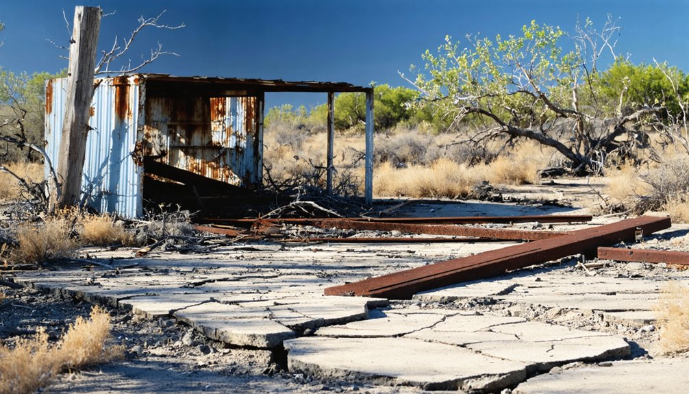
Visiting Turpentine today means stepping into a quiet patch of East Texas forest with no signs, no markers, and no restored structures to greet you. The site doesn’t appear on 1984 highway or geological survey maps, so you’re orienting yourself purely through historical research and instinct.
Industrial decline erased nearly every physical trace of the turpentine operation, leaving dense woodland where a functioning work camp once stood. Railroad history shaped this land profoundly, yet no visible track or grade will obviously announce itself.
You’ll find solitude, towering timber, and the particular satisfaction of standing somewhere most travelers never think to look. Bring your own context — the story lives in your preparation, not in anything the site itself will show you.
Other Jasper County Ghost Towns to Pair With Turpentine
Turpentine fits naturally into a broader East Texas ghost-town loop, and Jasper County offers several abandoned settlements worth tracking down alongside it. The county’s dense forests swallowed numerous timber and railroad camps once the lumber economy collapsed, leaving scattered remnants across the region.
You’ll find that pairing these sites creates a richer picture of how quickly industrial boomtowns vanished when the timber ran out. Many locations double as excellent spots for wildlife observation, since the recovered forest now shelters deer, birds, and native flora.
Historical preservation efforts in the broader East Texas area have documented several of these ghost communities, giving you research starting points before you hit the road. Build your route carefully, keep paper maps handy, and treat each stop as a piece of a larger, fascinating story.
Best Season to Visit the Turpentine, Texas Area
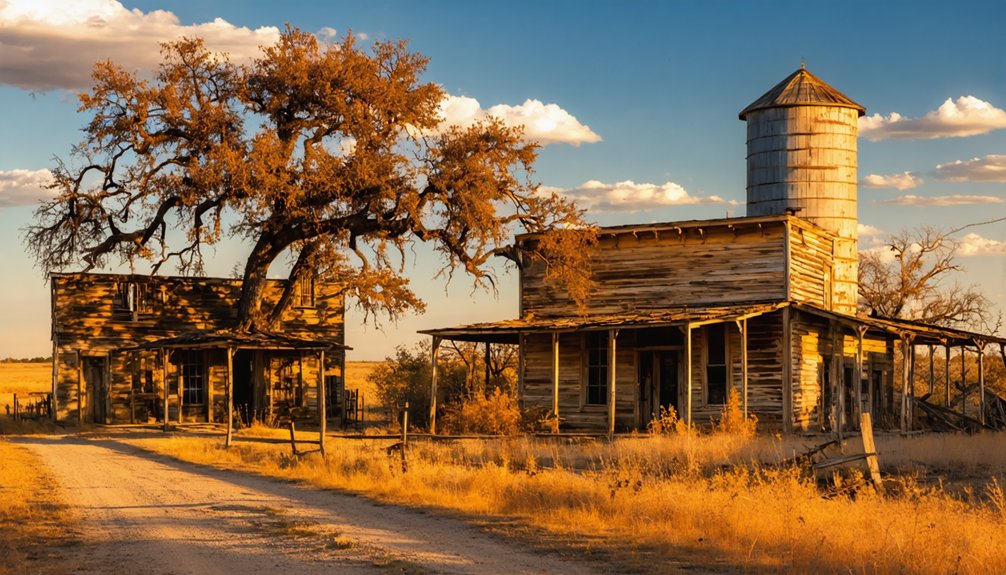
Once you’ve mapped out your Jasper County ghost-town loop, timing your visit can make or break the experience. East Texas forests shift dramatically across seasons, shaping how deeply you’ll connect with Turpentine’s community legacy.
- Fall (October–November): Cooler temps and thinning foliage reveal old railroad grades and forgotten clearings.
- Winter (December–February): Sparse undergrowth offers the clearest sightlines for historical preservation exploration.
- Spring (March–April): Wildflowers soften the landscape, but rising humidity and insects arrive quickly.
- Summer (May–September): Dense heat and thick vegetation make navigation genuinely miserable—avoid it.
Winter and early fall give you the sharpest access and the most honest look at what remains. Plan accordingly, pack light, and move freely through this forgotten corner of East Texas history.
What to Pack for Remote East Texas Ghost Town Visits
Because Turpentine leaves you with no visitor infrastructure, no marked trails, and no cell service guarantees, what you carry determines how safely and productively you’ll explore the site. Pack a printed topographic map, a compass, and downloaded offline maps before you leave pavement behind.
Bring enough water for a full day in East Texas humidity, plus insect repellent and sturdy boots for dense forest undergrowth.
Respect any historical artifacts you encounter by photographing rather than touching or removing them. Active preservation efforts depend on visitors leaving the site undisturbed so future researchers can document what remains.
Carry a first-aid kit, a fully charged power bank, and a paper notebook for logging observations. Your self-sufficiency out here isn’t optional — it’s the price of genuine freedom to explore forgotten ground.
Frequently Asked Questions
Was Turpentine, Texas Ever Shown on Official State Maps?
By 1984, you won’t find Turpentine on official highway or geological survey maps—it’s vanished like its local legends. Chase historical landmarks through East Texas’s wild forests, where freedom-seekers uncover forgotten ghost town stories.
When Exactly Did the Western Naval Stores Company Begin Operations?
Forget waiting for an invitation — the Western Naval Stores Company didn’t! They kicked off their historical timber and industrial development operations in 1908, securing a turpentine franchise near Aldridge and forever marking East Texas’s bold, untamed frontier.
Which Railroad Originally Built the Line Serving Turpentine?
The Burr’s Ferry, Browndell and Chester Railroad originally built the line in 1907. You’ll appreciate how this railroad history shaped transportation development, connecting Rockland to Aldridge and opening Turpentine’s wild, untamed East Texas timber frontier.
How Far Was Turpentine Located From Aldridge, Texas?
Turpentine sat just four miles east of Aldridge — a short but significant stretch that shaped ghost town tourism history. You’ll appreciate how that compact distance supported historic site preservation of this remarkable, railroad-driven East Texas turpentine operation.
When Did the Turpentine Post Office Permanently Close?
The Turpentine post office permanently closed in 1926, marking the town’s final breath. You’ll find no abandoned structures or historical ghost towns signs today — just dense East Texas forest swallowing the silence where workers once lived freely.
References
- https://en.wikipedia.org/wiki/Turpentine
- https://www.texasescapes.com/DEPARTMENTS/Guest_Columnists/East_Texas_all_things_historical/Turpentiners1BB701.htm
- https://content.govdelivery.com/accounts/TXPWD/bulletins/1dcdee4
- https://authentictexas.com/texas-ghost-towns/
- https://www.tshaonline.org/handbook/entries/turpentine-tx
- https://www.allacrosstexas.com/texas-ghost-town.php?city=Turpentine
- https://en.wikipedia.org/wiki/List_of_ghost_towns_in_Texas
- https://en.wikipedia.org/wiki/Applegate
- https://www.wikiwand.com/en/articles/Wenasco
- https://en.wikipedia.org/wiki/Template:Jasper_County



