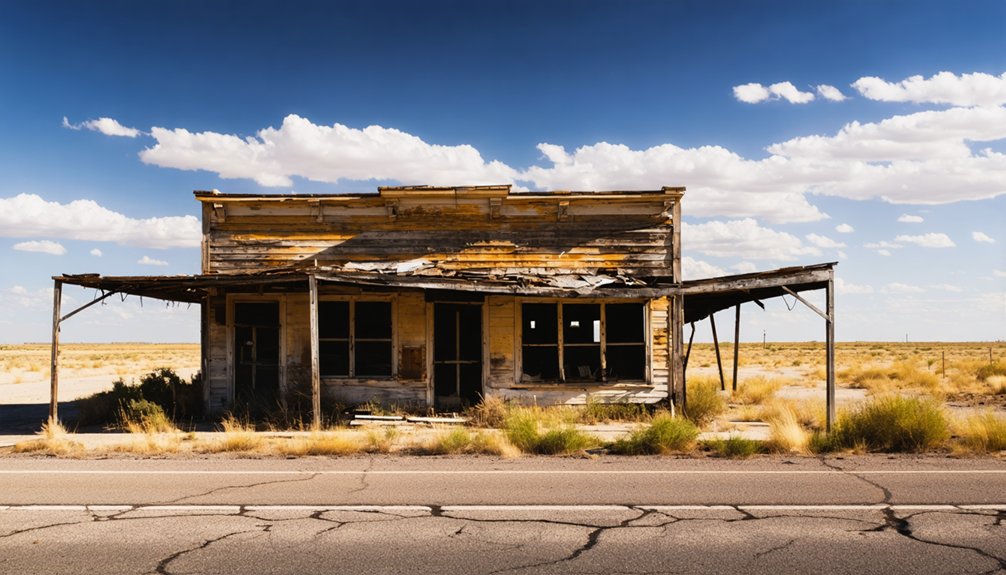
Planning a ghost town road trip to Belzora, Texas starts with heading 17 miles north of Tyler on Farm Road 14 until you cross the Sabine River. You won’t find buildings or businesses here — just a historic marker, weathered tombstones, and the quiet remains of a river port the railroad erased in the 1870s. Fall, spring, and winter offer the best conditions for exploring the site. There’s far more to this forgotten story than you’d expect.
Key Takeaways
- Belzora sits 17 miles north of Tyler via Farm Road 14, with the Sabine River marking the historic town site.
- The site features only a historic marker and weathered tombstones, so expect a raw, unpolished experience with no amenities.
- Visit in fall, spring, or winter for comfortable conditions and better sightlines through cleared vegetation.
- Combine the trip with nearby ghost towns like Starrville, Harmony Hill, and Douglass for a fuller East Texas exploration.
- Start early at the historic marker, visit the ferry site, then drive south to Tyler’s museums and courthouse records.
How Belzora Rose and Fell as a Smith County River Port
Nestled along the Sabine River in extreme northern Smith County, Belzora launched as a ferry crossing and stage stop in 1850, quickly growing into a thriving agricultural shipping hub.
You can almost picture merchants steering waters teeming with river wildlife, moving goods through a bustling port surrounded by seasonal wildflower blooms. The town supported a post office, school, church, and active ferry operation.
Ambitious leaders even planned deep channel improvements and locks to expand river navigation, but those dreams never materialized.
When the International-Great Northern Railroad pushed through Smith County during the 1870s, rail transport undercut river shipping costs dramatically. Trade evaporated, residents relocated, and Belzora joined countless East Texas sister ports fading into ghost town status.
Why Railroads Killed Belzora and Dozens of East Texas Towns Like It
When the International-Great Northern Railroad pushed into Smith County during the 1870s, it didn’t just offer a faster ride — it dismantled the entire economic logic that had kept river ports like Belzora alive.
Rail travel hit farmers and merchants where it mattered most: cost and speed. River commerce suddenly looked slow, expensive, and unreliable by comparison.
Transportation evolution didn’t spare a single East Texas river town. Dozens of ports that had thrived along the Sabine and neighboring waterways collapsed almost simultaneously.
Not a single East Texas river town escaped the railroad’s arrival — entire port communities vanished almost overnight.
The ambitious canal and lock improvements that Belzora’s leaders had envisioned never stood a chance against iron rails cutting directly through productive farmland.
You can trace this pattern across the region — wherever railroads arrived, river towns vanished.
Belzora simply became one of the most complete examples of that ruthless economic shift.
How to Get to Belzora From Tyler and Nearby Cities
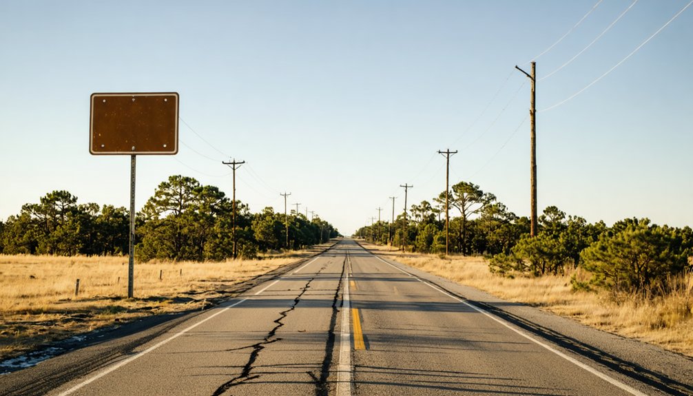
If you’re starting your trip from Tyler, you’ll find Belzora just 17 miles to the north, making it one of the easiest ghost town detours in Smith County. Take Farm Road 14 north until you cross the Sabine River at the historic ferry crossing site.
You’re fundamentally standing at the heart of what was once a thriving river port.
Travelers coming from Houston can expect roughly a 215-mile drive before reaching this barren stretch of East Texas history.
Driving From Tyler
Getting to Belzora from Tyler is straightforward—head north on Farm Road 14 for about 17 miles until you reach the historic marker near the Sabine River crossing.
The drive itself contrasts sharply with Tyler’s urban development, trading city infrastructure for open East Texas countryside and dense woodland corridors.
As you approach the Sabine River, you’ll notice the landscape shifting toward rich river ecology—bottomland hardwoods, wetland vegetation, and the quiet rhythm of moving water.
This crossing once supported an entire port town’s economy. Now it’s just you, the road, and a single marker where commerce once thrived.
The route is simple, the roads are public, and no special permits are required.
Pack water, wear comfortable shoes, and give yourself flexibility to explore the surrounding natural scenery freely.
Nearby City Routes
Tyler sits just 17 miles south of Belzora, making it the natural launching point for most visitors. But several other nearby cities offer their own straightforward routes to the site.
Whether you’re chasing ghost town preservation history or tracing old river transportation corridors, you’ve got options:
- From Longview: Head west on US-80, then north on Farm Road 14 — roughly 45 miles total.
- From Dallas: Take US-80 east through Mineola, connecting north toward Smith County — approximately 110 miles.
- From Shreveport: Cross into Texas via I-20 west, then navigate north through the Sabine River corridor — about 90 miles.
Each route deposits you near Farm Road 14, which crosses the Sabine River at Belzora’s original ferry crossing site.
What You’ll Actually See at the Belzora Site Today?
When you arrive at the Belzora site, you won’t find buildings, businesses, or any sign of the bustling river port that once thrived here.
What you’ll see is a single historical marker standing as the town’s last official voice, telling the story of a community that railroads erased from the map.
Look closely nearby, and you’ll also spot a few weathered tombstones — quiet, stubborn remnants of the people who once called Belzora home.
The Historic Marker
If you’re making the trek to Belzora, don’t expect much more than open land and a single historic marker standing quietly near the Sabine River. Yet that marker carries real weight, anchoring a story about ferry crossings, river navigation dreams, and a community that once moved cotton and goods across East Texas.
The marker tells you what the land won’t:
- Belzora thrived in the 1850s as a key agricultural shipping hub built around ferry crossings.
- River navigation ambitions drove leaders to plan deep channels and locks that never came.
- Railroads killed the town’s purpose by the 1870s, leaving only silence.
Stand there long enough and you’ll feel the tension between ambition and reality — that’s Belzora’s legacy in a single roadside stop.
Remaining Tombstones Nearby
Beyond the historic marker, a few weathered tombstones dot the surrounding land, and they’re easy to miss if you’re not looking carefully. These stone remnants carry real cultural significance, connecting you directly to the settlers who built Belzora from a simple ferry crossing into a thriving river port.
Don’t expect a maintained cemetery. The graves sit scattered and worn, their inscriptions faded by over a century of Texas weather. Yet that rawness makes them compelling.
You’re standing beside people who believed Belzora would become something permanent.
Historical preservation efforts here are minimal, which means what little survives feels genuinely fragile. Treat the site respectfully, photograph carefully, and resist touching the stones.
These tombstones aren’t just markers — they’re the last physical evidence that real lives unfolded on this quiet stretch of the Sabine River.
Is Belzora Worth the Drive? Honest Expectations Before You Go
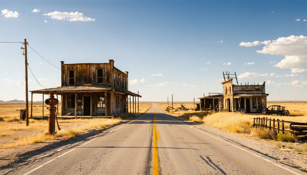
Before you load up the car and make the 17-mile drive north of Tyler, you’ll want to set realistic expectations about what Belzora actually offers today. This ghost town isn’t a reconstructed village or a curated museum experience. It’s raw, quiet history — a barren site where river commerce once thrived before transportation decline erased everything.
What you’ll actually find:
- A single historical marker explaining Belzora’s rise and fall
- A few scattered tombstones weathered by decades of neglect
- The natural backdrop of the Sabine River near Farm Road 14
If you crave wide-open freedom, uncrowded roads, and unfiltered Texas history, this drive delivers. You won’t find crowds or gift shops — just honest, unpolished proof that entire communities can vanish when economics shift.
Best Season to Visit Belzora and the Sabine River Area
Once you’ve decided Belzora is worth the drive, timing your visit makes all the difference between a pleasant afternoon and a miserable slog through East Texas humidity. Fall and spring offer your best windows — temperatures stay manageable, and the Sabine River landscape takes on a richness that makes exploring feel rewarding rather than exhausting.
Avoid summer entirely if you can. July and August turn the barren site into a sweltering ordeal, and insects make lingering difficult.
Winter visits work surprisingly well. The sparse vegetation clears out, giving you cleaner sightlines around the historic marker and old ferry crossing.
You’ll also find the quiet atmosphere sharpens the cultural significance of what once stood here, letting local legends about Belzora’s ambitious river port days sink in more naturally.
Nearby East Texas Ghost Towns Worth Adding to Your Belzora Route
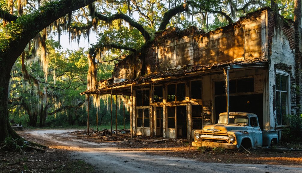
Belzora doesn’t exist in isolation — East Texas scattered dozens of abandoned river ports and railroad-bypassed settlements across the same stretch of piney woods, and several sit close enough to fold into a single day’s drive.
River commerce once connected these communities, and transportation decline erased them almost simultaneously during the 1870s railroad expansion. Exploring multiple sites reveals the full regional pattern of rise and collapse.
Consider adding these stops to your route:
- Starrville — a quiet Smith County settlement with deep antebellum roots
- Harmony Hill — once a prosperous Rusk County town that railroads effectively killed
- Douglass — a Nacogdoches County community that thrived before rail rerouting gutted its economy
Each location deepens your understanding of how quickly prosperity vanished across East Texas.
How to Build a Full Day Trip Around Belzora and Smith County History
A full day in Smith County rewards careful planning, and anchoring your itinerary around Belzora gives you a natural starting point before working your way south toward Tyler. Arrive early at the historic marker near Farm Road 14, where river crossings once defined daily commerce. Stand at the original ferry site and let the local legends of failed navigation dreams and vanished port ambitions sink in.
You’re standing where ambitious settlers once envisioned a thriving inland waterway. From there, drive south toward Tyler, exploring courthouse records, regional museums, and landmarks tied to Belzora’s founding story.
Wrap your afternoon in Tyler’s historic districts before heading home. This north-to-south route keeps your day structured, purposeful, and genuinely connected to Smith County’s overlooked but fascinating past.
Frequently Asked Questions
Who Was Belle Ham, and Why Was Belzora Named After Her?
Belle Ham was a notable Tyler, Texas figure who inspired Belzora’s name—one of the great ghost town legends. You’ll find her legacy woven into historic landmarks, though some records suggest she honored early settlers’ family ties.
Did Belzora Ever Have a Functioning School or Church?
Once home to 3 thriving institutions, Belzora did have a functioning school, church, and post office! Today, ghost town tourism reveals no abandoned structures remain — you’ll only find a single historic marker standing at this desolate site.
Are There Any Tombstones or Graves Still Visible at Belzora?
You’ll find a few tombstones still standing alongside the historic marker at Belzora. They fuel haunted legends and local folklore, quietly whispering stories of a forgotten community that once thrived along the Sabine River.
Was Belzora Ever Officially Incorporated as a Texas Town?
You won’t find any official incorporation records for Belzora — it never achieved that status. Yet you can still explore its ghost town tourism appeal through historical landmarks, connecting you to this freedom-evoking, forgotten Texas frontier community.
How Deep Was the Sabine River During Belzora’s Peak Port Years?
Coincidentally, river depth records from Belzora’s peak years don’t survive, but you’d have witnessed the Sabine’s flood history dramatically shaping navigation. Leaders dreamed of deepening channels, yet those ambitious lock improvements never materialized.
References
- https://www.tshaonline.org/handbook/entries/belzora-tx
- https://www.ghosttowns.com/states/tx/belzora.html
- https://en.wikipedia.org/wiki/Belzora
- https://www.facebook.com/groups/1784294158550093/posts/4207781359534682/
- https://www.ghosttowns.com/states/tx/tx.html
- https://en.wikipedia.org/wiki/Category:Ghost_towns_in_East_Texas
- https://93qcountry.com/1706737/texas-ghost-towns-you-can-visit/
- https://en.wikipedia.org/wiki/List_of_ghost_towns_in_Texas
- http://www.wtblock.com/patton_berry.htm
- http://files.usgwarchives.net/tx/smith/history/school/ths/smthh15.txt



