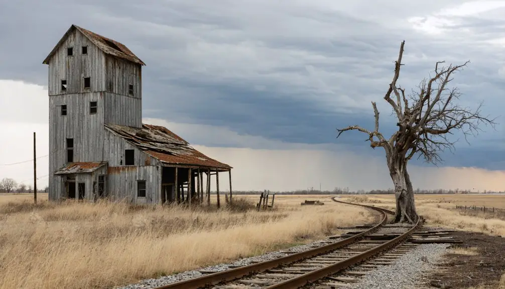
Planning a ghost town road trip to Blue Eagle, Minnesota puts you on the trail of a community that vanished quietly after a single railroad decision in 1899. You’ll find the site just west of modern Westbrook, tucked within what’s now called the Peterson addition. No standing structures remain, but the history runs deep. Travel between May and October for the best road conditions, and keep exploring — there’s much more to uncover about Blue Eagle’s fascinating story.
Key Takeaways
- Blue Eagle, a ghost town in southwestern Minnesota, is located just west of modern Westbrook within the Peterson addition zone.
- The best time to visit is late spring to early fall (May–October) for dry roads and long daylight hours.
- No standing structures remain at the site, so research historical records before visiting to understand its cultural significance.
- Blue Eagle declined after the 1899 railroad dispute, when the Chicago, St. Paul, Minneapolis, and Omaha Railway bypassed it for Westbrook.
- Travel during daylight, check weather forecasts, and carry emergency supplies when visiting this remote, open landscape site.
What Was Blue Eagle, Minnesota?
Although it’s little more than a memory today, Blue Eagle, Minnesota was once a small but functioning settlement that took root in the 1870s on land that now falls within the west side of Westbrook. Like many frontier communities, its settlement origins trace back to agriculture and the practical needs of rural life in the Upper Midwest.
You won’t find much standing there now, but local legends and historical records preserve its story.
The town’s fate shifted dramatically in 1899 when a railroad dispute sparked the creation of neighboring Westbrook just to the east. Blue Eagle eventually lost that competition, and by the 1950s, its remaining footprint was absorbed into Westbrook as the “Peterson addition.”
It’s a quiet ending to a story that shaped the region’s geography.
How the 1899 Railroad Dispute Created Westbrook and Doomed Blue Eagle
When you trace Blue Eagle’s decline, you’ll find the 1899 arrival of the Chicago, St. Paul, Minneapolis, and Omaha Railway sitting at the center of the story.
Rather than running its spur line through Blue Eagle, the railroad established a depot just to the east, and the new town of Westbrook quickly grew up around it.
Settlers and businesses followed the rail access, and Blue Eagle, left without that economic lifeline, began its slow fade into obscurity.
Railroad Arrives In 1899
The year 1899 changed everything for Blue Eagle. When the Chicago, St. Paul, Minneapolis, and Omaha Railway pushed a spur line through the region, local landowners near Blue Eagle refused the railroad’s terms. Rather than compromise, the railway simply platted a new town just to the east — Westbrook.
That decision redirected commerce, migration, and opportunity away from Blue Eagle almost overnight. Settlers followed the rails, as they always did, and Westbrook quickly absorbed the economic energy that Blue Eagle once held.
For road trippers passionate about historical preservation and community memory, this moment is worth pausing on. It’s a sharp reminder that a single infrastructure decision could erase a town’s future.
Blue Eagle never recovered from that pivot, and Westbrook became the region’s dominant settlement.
Westbrook Overtakes Blue Eagle
Once Westbrook took root just east of Blue Eagle, the older settlement’s fate was fundamentally sealed. The railroad‘s decision to bypass Blue Eagle and anchor itself at Westbrook pulled residents, businesses, and commerce eastward almost immediately. People followed opportunity, and opportunity had moved.
You can still trace this shift today through cultural preservation efforts that document how railroad politics quietly erased entire communities from the map. Blue Eagle didn’t vanish overnight, but it couldn’t compete with a town built around active rail service.
Local legends suggest residents resisted the changeover longer than history officially records. Eventually, Blue Eagle was absorbed into Westbrook as the Peterson addition during the 1950s. What once stood independently now exists only as a footnote — a reminder that infrastructure decisions shaped which towns survived and which ones disappeared.
Blue Eagle’s Gradual Decline
Before Westbrook ever appeared on the map, Blue Eagle had already built something real — a functioning settlement with roots stretching back to the 1870s. Farmers, families, and local commerce gave it purpose. Then came 1899.
When the Chicago, St. Paul, Minneapolis, and Omaha Railway laid its spur line just east of Blue Eagle, the railroad chose a new townsite — and Westbrook was born. That decision quietly sealed Blue Eagle’s fate.
Residents and businesses gradually drifted toward the tracks, chasing opportunity. Blue Eagle couldn’t compete.
What remained became local legends more than lived reality. Cultural preservation efforts now keep Blue Eagle’s story alive, but the town itself faded steadily until the 1950s, when Westbrook formally absorbed it as the Peterson addition — erasing the last boundary between them.
Where Blue Eagle Sat Relative to Modern Westbrook
Sitting just west of what’s now Westbrook, Blue Eagle occupied a position that would eventually be absorbed into its neighbor’s expanding boundaries. When you’re tracing the town’s footprint today, you’re fundamentally walking through what locals call the “Peterson addition,” the zone where Blue Eagle’s final identity dissolved into Westbrook’s grid.
Blue Eagle once stood just west of Westbrook, its final footprint swallowed quietly into what locals call the Peterson addition.
Here’s what anchors Blue Eagle’s location for curious road trippers:
- The Peterson addition marks the former settlement’s last geographic identity before full annexation
- Local legends surrounding the 1899 railroad dispute help explain why Westbrook developed *east* of Blue Eagle rather than on top of it
- Historical architecture clues, though sparse, appear on Westbrook’s western edge
Understanding this spatial relationship sharpens your appreciation for how railroad politics literally redrew the map beneath people’s feet.
What Remains at the Blue Eagle Site Today
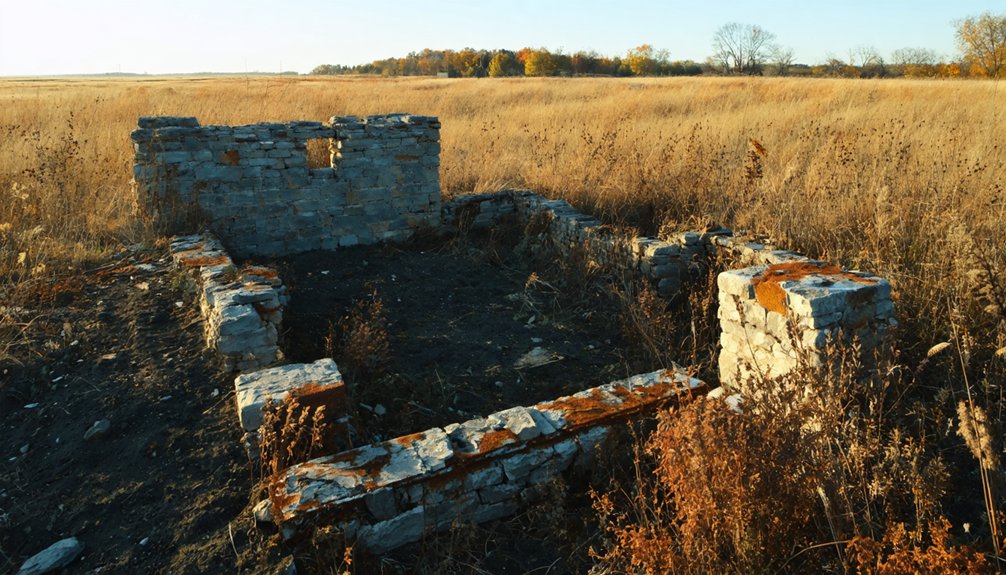
What greets you at Blue Eagle’s former site today is largely silence and open landscape—the kind that asks you to fill in the gaps with historical imagination. You won’t find standing structures or marked ruins. The land has absorbed most traces of the original settlement, leaving little physical evidence behind.
What survives is largely the cultural significance of the story itself—a reminder that communities once thrived here before railroad politics and shifting populations erased them. Formal preservation efforts for Blue Eagle remain minimal, so your visit becomes more interpretive than visual.
Bring the history with you. Know that what’s now part of Westbrook’s western edge was once its own separate world. That context transforms an ordinary stretch of southwestern Minnesota into something worth stopping for.
Why Blue Eagle Is Worth Including on a Ghost Town Road Trip
Though it offers no dramatic ruins or interpretive signs, Blue Eagle earns its place on a ghost town road trip because it tells a story that’s genuinely worth knowing. Its cultural significance lies in how it reflects the railroad-driven forces that reshaped rural Minnesota forever.
You’ll gain real insight into:
- How railroads determined winners and losers among 19th-century settlements
- Why small communities vanished as economic power shifted to railway-connected towns
- What preservation efforts look like when a place survives only through historical records and regional memory
Blue Eagle isn’t a spectacle — it’s a lesson.
When you understand what happened here between the 1870s founding, the 1899 railroad dispute, and the 1950s annexation, the entire southwestern Minnesota landscape starts making a lot more sense.
Other Southwest Minnesota Ghost Towns Near Blue Eagle
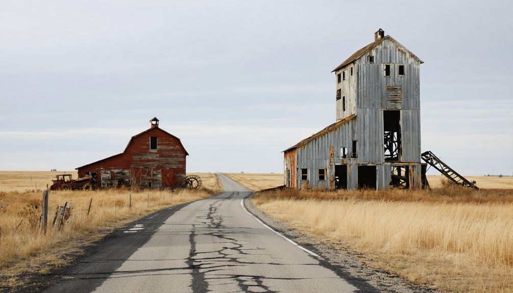
Blue Eagle doesn’t have to be your only stop — southwestern Minnesota is dotted with ghost towns that round out a compelling regional itinerary. Each abandoned settlement carries its own cultural significance, reflecting how railroads, agriculture, and economic shifts determined which communities thrived and which faded.
You’ll find towns that boomed briefly, then collapsed when rail lines bypassed them or crop prices fell, leaving behind little more than a name on an old map. The economic impact of those losses still echoes across the landscape today.
Mapping a route through several of these sites lets you piece together a broader story of regional decline and resilience. Pair Blue Eagle with neighboring ghost towns, and you’ll leave southwestern Minnesota with a much richer understanding of its layered past.
When to Drive This Route for the Best Road Conditions
You’ll get the most out of this drive by timing your trip between late spring and early fall, when roads are dry, daylight is long, and the rural landscape is at its most accessible.
Minnesota winters bring frozen gravel roads, ice patches, and snowdrifts that can make southwestern back roads genuinely hazardous, so avoid planning this route from November through March.
April and October sit in a middle ground—temperatures are manageable, but rain and lingering frost can soften unpaved shoulders and reduce visibility on open highway stretches.
Best Seasons To Travel
When you’re planning a road trip through southwestern Minnesota to visit ghost town sites like Blue Eagle, timing your drive makes a real difference. Seasonal conditions shape both road quality and your overall experience exploring this region’s cultural influences and economic impacts on rural history.
- Late spring (May–June): Roads dry out after snowmelt, wildflowers bloom, and daylight stretches long enough for unhurried exploration.
- Summer (July–August): Warm, stable weather keeps rural highways clear, though heat can make open-air historic sites less comfortable midday.
- Early fall (September–October): Cooler temperatures and vivid foliage create ideal driving conditions before winter weather moves in.
Avoid winter travel on rural Minnesota routes — icy roads and limited services make ghost town exploration genuinely risky during those months.
Weather Hazards To Avoid
Southwestern Minnesota’s rural highways can turn treacherous fast, so knowing which weather hazards to avoid keeps your ghost town road trip both safe and enjoyable. Winter brings brutal blizzards and black ice across open prairie roads, making November through February risky months for reaching Blue Eagle’s historically significant site.
Spring thaws create muddy, rutted county roads that can strand your vehicle miles from help. Summer afternoon thunderstorms roll in quickly, bringing dangerous lightning and flash flooding across flat terrain. Fall fog is deceptively hazardous during early morning drives.
You’ll appreciate the area’s cultural significance more when you’re not battling dangerous conditions. Preservation efforts at historical sites like Blue Eagle deserve a visit under safe, clear skies — so check forecasts diligently, travel during daylight, and always carry emergency supplies.
Road Conditions By Month
Planning your drive to Blue Eagle around monthly road conditions can make the difference between a smooth trip and a frustrating detour. Southwestern Minnesota roads shift dramatically by season, and knowing what to expect keeps your ghost town adventure on track.
- May–October offers the most reliable pavement, letting you explore Westbrook’s local folklore and Blue Eagle’s railroad history without weather interference.
- November–March brings ice, snow, and rural road closures that can cut off access to smaller county routes near former settlements.
- April is unpredictable — snowmelt creates muddy, soft shoulders that challenge even experienced drivers.
You’ll want dry, firm roads if you’re stopping at multiple sites. Blue Eagle rewards curiosity, not rushed visits cut short by avoidable conditions.
How Railroad History Connects Minnesota’s Forgotten Towns
Few forces reshaped Minnesota’s rural landscape more dramatically than the railroad. When the Chicago, St. Paul, Minneapolis, and Omaha Railway pushed a spur line through this region in 1899, it didn’t just deliver commerce — it redrew community boundaries entirely.
Blue Eagle existed peacefully until that railroad dispute sparked the creation of Westbrook just to the east, pulling residents, businesses, and momentum away from the older settlement.
You’ll find this pattern repeated across Minnesota’s forgotten towns. Railroads granted life to some communities and quietly erased others.
Recognizing that historical significance helps you see these ghost towns as more than curiosities — they’re evidence of forces that shaped everyday lives. Exploring them becomes an act of cultural preservation, keeping those stories visible before the landscape swallows the last trace.
Frequently Asked Questions
Is There an Official Historical Marker at the Blue Eagle Site?
There’s no confirmed official marker at Blue Eagle’s site, but you’ll find its historical significance preserved through Westbrook’s local records. Seek out marker preservation efforts at nearby historical societies to uncover this ghost town’s fascinating railroad-era story.
How Long Does a Full Ghost Town Road Trip Typically Take?
Time’s your open road — a full ghost town trip typically takes two to four days. With smart travel planning and a passion for history preservation, you’ll uncover Minnesota’s forgotten stories at your own liberating pace.
Are There Guided Tours Available for Minnesota Ghost Town Sites?
You won’t find many formal guided tours for abandoned towns like Blue Eagle, but you can explore ghost town legends independently using local historical societies, self-guided maps, and regional heritage resources that’ll enrich your journey.
What County Is the Blue Eagle Site Located in Today?
You’ll find the Blue Eagle site in Redwood County, Minnesota. It’s a prime spot for urban exploration and historical preservation, sitting near modern Westbrook, where you can uncover the remnants of this fascinating 1870s settlement.
Can Visitors Access the Peterson Addition Neighborhood in Westbrook Freely?
Like Steinbeck’s wanderers seeking open roads, you can freely explore the Peterson Addition neighborhood. No special public permission is required — it’s standard neighborhood access, letting you roam Blue Eagle’s historic grounds on your own terms.
References
- https://www.fws.gov/story/ghost-town-carver-rapids
- https://kids.kiddle.co/Blue_Eagle
- https://en.wikipedia-on-ipfs.org/wiki/List_of_ghost_towns_in_Minnesota
- https://en.wikipedia.org/wiki/Blue_Eagle
- https://en.wikipedia.org/wiki/Wikipedia:WikiProject_Ghost_towns/Article_alerts/Archive_1