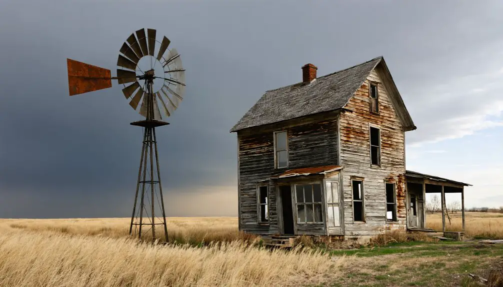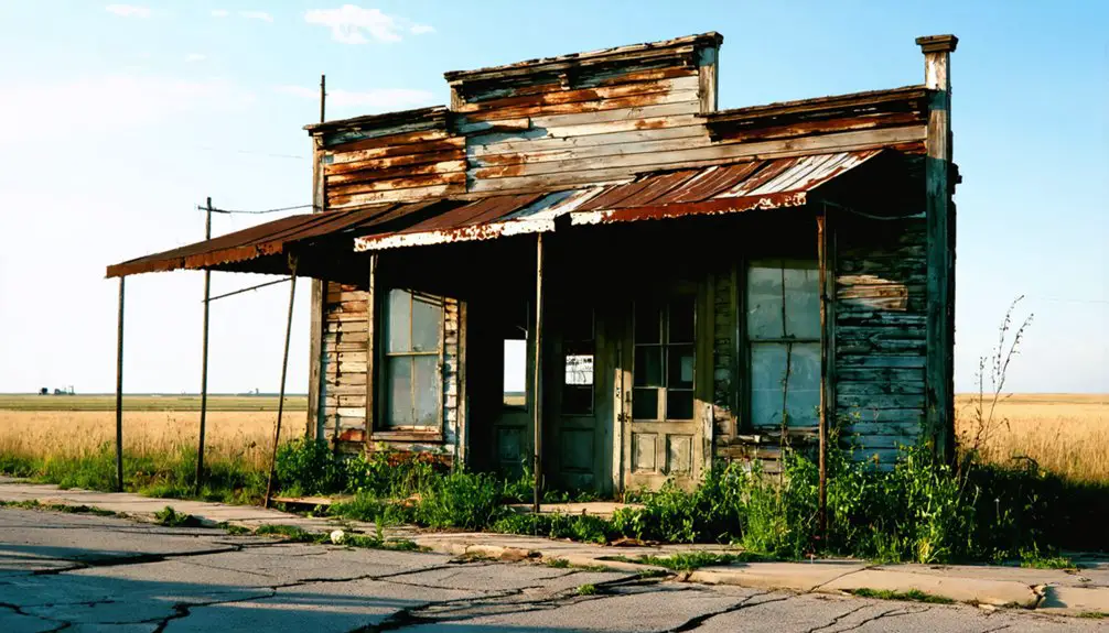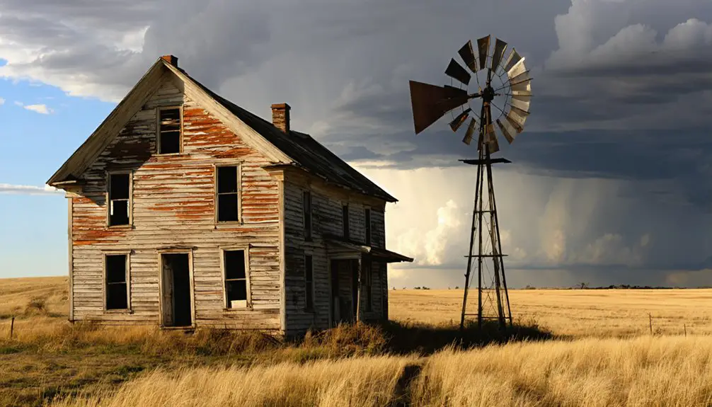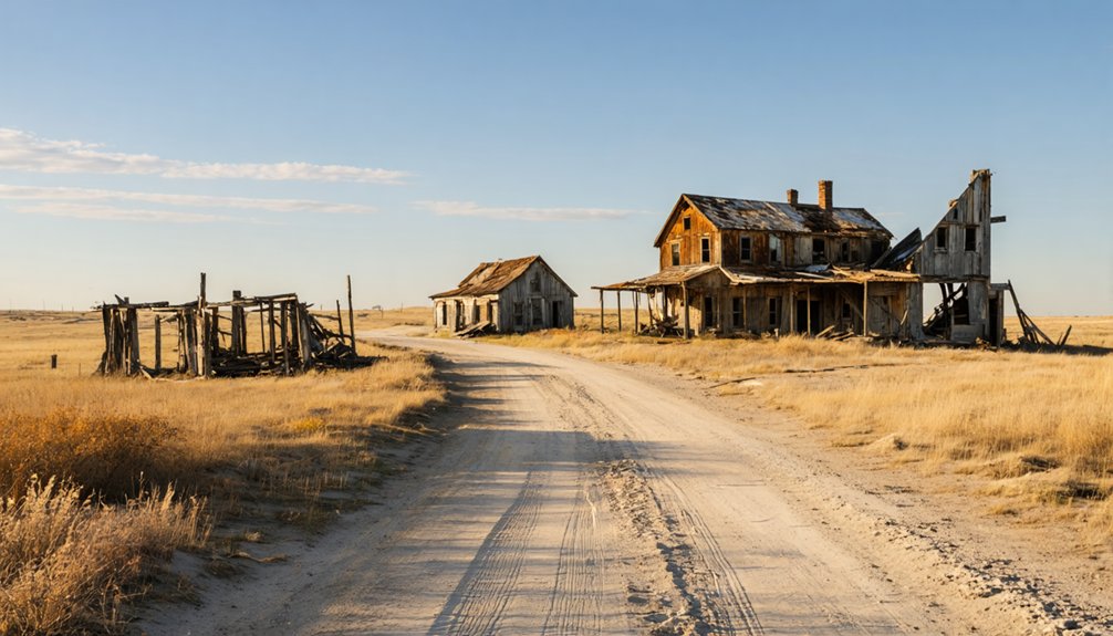
Planning a ghost town road trip to Dobytown, Nebraska means heading to Kearney County, about 3 miles west of Fort Kearny along Highway 50A. You won’t find preserved buildings here — just a quiet roadside marker standing where adobe walls once housed whiskey dens, Pony Express riders, and westward-bound pioneers. It’s a fast, flexible stop that rewards curious travelers. Stick around to uncover the wild frontier story hiding behind that humble sign.
Key Takeaways
- Dobytown is located in Kearney County, Nebraska, approximately 3 miles west of Fort Kearny along Highway 50A near Fort Kearny State Historical Park.
- Only a roadside historical marker remains today, with no preserved structures, making it a quick, flexible daylight stop.
- Pair Dobytown’s marker with nearby Fort Kearny State Historical Park for a comprehensive frontier history experience within a few hours.
- Dobytown was a lively frontier outpost known for whiskey, gambling, and commerce, serving pioneers, soldiers, and traders along overland trails.
- Nearby Kearney offers dining options, and the Platte River corridor provides outdoor recreation to complement your road trip visit.
What Was Dobytown and Why Does It Matter?
Tucked about three miles west of Fort Kearny along what’s now Highway 50A, Dobytown was one of the most colorful and consequential frontier stops on the road heading west. Officially named Kearney City when it was established in 1859, locals called it Dobytown because of its distinctive adobe construction.
It served as Kearney County’s first county seat and functioned as a critical outfitting point from 1860 to 1866. Soldiers, traders, and westbound pioneers all passed through, drawn by supplies, lodging, and a rough-edged nightlife that even General William Tecumseh Sherman noticed.
Today, preservation efforts and its 1974 addition to the National Register of Historic Places protect its cultural heritage, making it a legitimate stop for anyone chasing authentic American frontier history.
Where Dobytown Sits in Nebraska and How to Find It
You’ll find Dobytown’s former townsite in Kearney County, Nebraska, roughly 3 miles west of Fort Kearny at an elevation of 2,129 feet.
A historical marker along Highway 50A near Fort Kearny State Historical Park points you toward the site, making it a straightforward roadside stop rather than a walkable preserved town.
Fort Kearny serves as your best practical anchor for planning, since Dobytown’s location ties directly to the fort corridor.
Dobytown’s Nebraska Location
Dobytown sits in Kearney County, Nebraska, roughly three miles west of Fort Kearny, and a historical marker along Highway 50A near Fort Kearny State Historical Park points you toward the former townsite.
You won’t find preserved historical architecture here — adobe and earthen construction didn’t survive the centuries — but local legends about the town’s rough frontier character make the stop worthwhile.
The site rests at an elevation of 2,129 feet, tucked into the open Nebraska plains where overland travelers once pushed west toward the Pacific.
Fort Kearny serves as your most practical anchor for planning, since Dobytown‘s location ties directly to the fort corridor.
Use the fort as your starting point, then follow Highway 50A to find where this notorious ghost town once stood.
Finding The Former Townsite
Finding Dobytown’s former townsite means anchoring your search to Fort Kearny, since the ghost town sat just three miles to the west along the fort corridor. Head to Fort Kearny State Historical Park in Kearney County, then follow Highway 50A, where a historical marker identifies the approximate location.
Don’t expect ghost town preservation in any traditional sense — no standing structures survive, and the site reads more as open plains than abandoned settlement. That absence fuels historical myths about what Dobytown actually looked like, since adobe construction leaves little behind.
The elevation sits at 2,129 feet, giving you wide, flat sightlines across the landscape. Pairing this stop with Fort Kearny makes the visit worthwhile, letting you connect the fort’s story directly to the rough frontier town it once sustained.
Nearby Landmarks And Access
Kearney County, Nebraska puts you squarely in the geographic center of the state, and that’s exactly where Dobytown once stood — roughly three miles west of Fort Kearny along the Highway 50A corridor. Fort Kearny State Historical Park serves as your most practical anchor point, giving you a clear geographic reference before you locate the historical marker identifying the former townsite.
The site sits at 2,129 feet elevation, rolling across open plains that still reward wildlife viewing if you scan the grasslands carefully. After exploring the area, nearby Kearney offers solid options for local cuisine, letting you refuel before continuing west.
The corridor is straightforward to navigate, making Dobytown an efficient stop rather than a complicated detour on your broader Nebraska road trip.
How Dobytown Became the Most Important Outfitting Stop West of the Missouri
When you picture the overland trails of the mid-1800s, imagine the pressure of traveling hundreds of miles from the Missouri River before hitting another reliable supply point. Dobytown filled that critical gap from 1860 to 1866, positioning itself directly along the corridor connecting Independence, Missouri, to the West Coast.
Soldiers, teamsters, traders, and pioneers all funneled through here, drawn by food, drink, lodging, and equipment. The town’s historical architecture, built mostly from adobe and earthen materials, gave it both its nickname and its identity on the open plains.
A Pony Express station added another layer of frontier purpose. Local legends about the commerce, the characters, and the rough energy of the place still shape how historians remember Dobytown as Nebraska’s most essential frontier outfitting stop.
Whiskey, Gambling, and the Rougher Side of Frontier Life in Dobytown

Dobytown didn’t just supply pioneers with flour and boots—it also gave them whiskey strong enough to earn its own nickname. General William Tecumseh Sherman reportedly called it “tanglefoot,” one of the more colorful cultural anecdotes tied to this rough frontier stop.
You’ll find that Dobytown‘s reputation extended well beyond trail supplies. Gambling dens and prostitution ran alongside legitimate commerce, drawing soldiers, teamsters, and wanderers who needed somewhere to spend their earnings before pushing further west. The transient crowd kept business loud and unpredictable after dark.
Today, historic preservation efforts have guaranteed this side of Dobytown’s story isn’t sanitized out of existence. When you visit the marker near Fort Kearny, you’re standing where freedom and lawlessness once operated side by side.
The Pony Express, Oregon Trail, and the Traffic That Built Dobytown
When you stand near the Dobytown site, you’re standing at a crossroads that once fed on the traffic of the Oregon Trail and the relentless push of westward migration. A Pony Express station operated here, meaning riders carrying mail between Missouri and California passed through on a tight schedule, adding another pulse of activity to an already busy settlement.
That constant stream of soldiers, traders, teamsters, and pioneers isn’t just historical color — it’s the engine that built Dobytown from a dusty outpost into one of the most significant outfitting stops west of the Missouri River.
Trails That Fed Dobytown
How does a rough collection of adobe buildings become one of the most important stops between Missouri and the West Coast? Location. Dobytown sat directly along the overland corridors pushing travelers toward Oregon, California, and beyond. The Oregon Trail funneled a steady stream of pioneers, soldiers, teamsters, and traders right past its doors. That constant traffic shaped both the cultural influences and architectural styles you still read about today — earthen buildings rising fast to meet frontier demand rather than beauty.
The Pony Express added another layer, with riders and support operations threading through the corridor. From 1860 to 1866, Dobytown functioned as a critical outfitting point. Freedom-seekers heading west needed food, supplies, and rest. Dobytown delivered all of it, mile after mile beyond the Missouri River.
Pony Express Stops Here
Riders didn’t slow down for much on the frontier, but they stopped at Dobytown. A Pony Express station operated here, making it an official link in one of the Wild West’s most daring communication networks. You’re standing where exhausted riders swapped horses and pushed west across open Nebraska plains.
Frontier Justice wasn’t always a courtroom — sometimes it was simply surviving the route.
When you visit, consider what this spot once meant to the overland world:
- Pony Express riders used Dobytown as a confirmed relay point heading west
- Oregon Trail emigrants passed through constantly, feeding local commerce
- The fort corridor created steady, high-volume traffic that kept Dobytown alive
Every traveler who came through needed something. Dobytown delivered it.
Westward Traffic Drives Growth
The Pony Express stop wasn’t an accident — it reflected something bigger driving Dobytown’s entire existence. Between 1860 and 1866, you’d have found this town sitting directly in the path of nearly every westward-bound traveler leaving the Missouri River corridor.
Oregon Trail migrants, military supply teams, and independent traders all funneled through this stretch of Nebraska. That constant human traffic demanded food, equipment, lodging, and commerce — and Dobytown delivered.
The town’s cultural influence grew naturally from that volume of movement, shaping frontier identity one transaction at a time.
Today, historic preservation efforts recognize what that traffic built. The 1974 National Register listing acknowledges Dobytown’s role as more than a rough frontier stop — it was a genuine crossroads that helped push American expansion westward.
How the Railroad Ended Dobytown Almost Overnight
When the Union Pacific Railroad completed its transcontinental line in 1869, it didn’t just shift travel routes — it gutted the overland economy that had kept Dobytown alive. Travelers no longer needed trail-side outfitting stops.
Then, on May 22, 1871, the U.S. Army abandoned Fort Kearny, and Dobytown lost its last reason to exist. The town that once roared with frontier energy went silent almost overnight.
For anyone chasing cultural legends and historic preservation stops across the plains, that rapid collapse is part of what makes Dobytown compelling:
- Trail traffic vanished once the railroad offered a faster route
- Fort abandonment eliminated the soldier and supply economy
- Adobe buildings crumbled without maintenance, erasing most physical traces
Freedom-seekers built it. Progress erased it.
What You’ll Actually See at the Dobytown Site Today
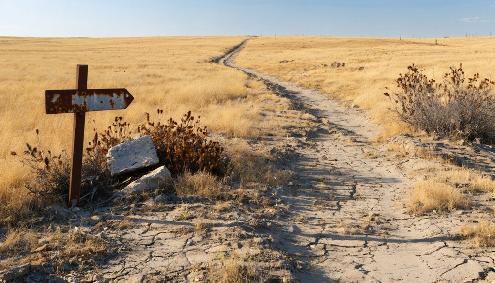
Visiting Dobytown today means standing at a roadside marker rather than walking through a preserved frontier town. You’ll find the historical marker along Highway 50A near Fort Kearny State Historical Park, pointing to where adobe buildings once lined a rough frontier strip. No structures survive.
No structures survive—only a roadside marker where adobe buildings once lined a rough frontier strip.
The land sits quiet at 2,129 feet, open and flat against the Nebraska sky.
Pair your stop with outdoor activities at Fort Kearny, where trails follow the same corridor that pioneers, soldiers, and Pony Express riders once traveled. Afterward, explore nearby Kearney for local cuisine that reflects the region’s agricultural roots.
Dobytown earned its place on the National Register of Historic Places in 1974, so you’re standing on ground that history officially recognized, even if the town itself has long since vanished.
Pair Dobytown With Fort Kearny for a Full History Stop
Since Dobytown’s location ties directly to the Fort Kearny corridor, combining both sites into a single stop makes practical sense. Fort Kearny gives you the context Dobytown lacks — preserved grounds, exhibits, and historical architecture that illustrate how the frontier economy actually functioned along the overland routes.
Use this pairing to build a sharper picture of the era:
- Walk Fort Kearny’s grounds to understand the military presence that made Dobytown’s trade economy possible.
- Read the exhibits covering Oregon Trail traffic, supply chains, and westward migration patterns.
- Stop at the Dobytown marker along Highway 50A to anchor the ghost town’s exact place in that story.
Together, both stops take only a few hours and deliver a concentrated slice of Nebraska’s frontier history.
Dobytown Road Trip Logistics: What to Know Before You Go
Planning the Fort Kearny and Dobytown stop is straightforward, but a few logistics will make the trip run smoother. The site sits along Highway 50A near Fort Kearny State Historical Park in Kearney County, roughly three miles west of the old fort.
Fort Kearny and Dobytown make for a manageable stop, with Highway 50A guiding you straight there.
No formal infrastructure exists at Dobytown itself, so treat it as a roadside history stop. The historical marker does the heavy lifting.
Nearby Kearney, Nebraska, covers your practical needs, offering local dining options that let you refuel before or after exploring.
If you want to extend your time outdoors, the Fort Kearny area supports outdoor recreation along the Platte River corridor.
Arrive during daylight, keep your visit flexible, and you’ll move through both sites efficiently without losing momentum on your broader road trip.
Frequently Asked Questions
Was Dobytown Ever Considered for Permanent City Development?
Countless dreams of permanent city development vanished fast! Dobytown briefly served as Kearney County’s first county seat, but you’ll find it among abandoned settlements and modern ghost towns — the railroad and fort closure erased every ambition overnight.
Are There Any Artifacts From Dobytown in Local Museums?
The knowledge doesn’t confirm specific artifacts preservation or museum exhibits tied to Dobytown, but you’ll find Fort Kearny State Historical Park nearby, where frontier history comes alive and potentially connects you to Dobytown’s wild, untamed past.
Can You Camp Overnight Near the Dobytown Historical Site?
You can’t camp directly at Dobytown’s historical site, but Fort Kearny State Historical Park nearby offers camping options. Always follow historical site regulations and prioritize camping safety when exploring this legendary Nebraska frontier corridor overnight.
Was Dobytown the Only Settlement of Its Kind Near Fort Kearny?
Dobytown wasn’t the only settlement near Fort Kearny, but it’s the most legendary for ghost town tourism. You’ll find abandoned settlements dotted this frontier corridor, yet Dobytown’s wild reputation made it uniquely unforgettable among them.
Did Any Notable Historical Figures Settle Permanently in Dobytown?
You won’t find famous residents who permanently settled Dobytown — it attracted transient traders, soldiers, and pioneers. Even near its historic landmarks, figures like Sherman only passed through, chasing freedom on the ever-moving frontier.
References
- https://en.wikipedia.org/wiki/Dobytown
- https://www.youtube.com/watch?v=fV1XHhsVS9g
- https://visitnebraska.com/trip-idea/explore-7-authentic-ghost-towns-nebraska
- https://www.onlyinyourstate.com/trip-ideas/nebraska/ne-ghost-towns-road-trip
- https://en.wikipedia.org/wiki/List_of_ghost_towns_in_Nebraska
- https://www.cornnation.com/2018/7/11/17559052/nebraska-kearney-county-52-fort
- https://kids.kiddle.co/List_of_ghost_towns_in_Nebraska
- https://zh.wikipedia.org/zh/多比敦_(內布拉斯加州)
- https://www.oocities.org/dustinmdudley/nebraska_dobytown_lowell_newark.html