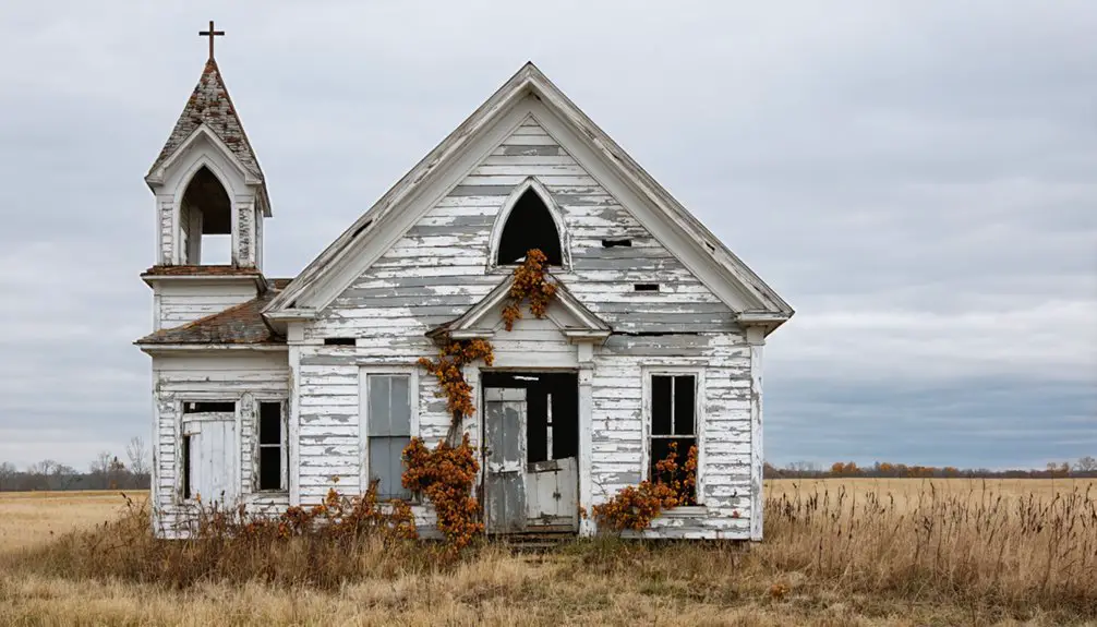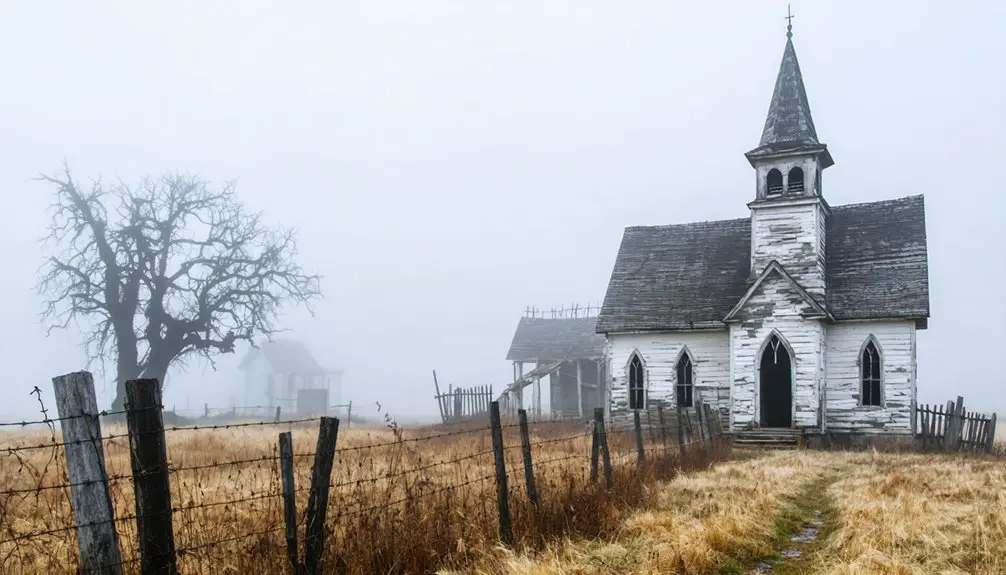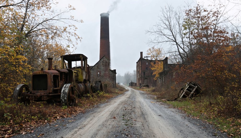
Planning a ghost town road trip to Hopewell Furnace means venturing into Washington County, Missouri, where an iron-smelting community thrived from 1855 until its post office finally closed in 1978. You’ll find no signs, no markers, and no preserved structures—just rolling farmland along Hopewell Creek south of Missouri Route 8. Bring plat maps, a GPS, and plenty of patience, because this forgotten furnace town rewards those who know exactly what to look for.
Key Takeaways
- Hopewell Furnace, located in eastern Washington County, Missouri, was a 19th-century iron-smelting community platted in 1858 and abandoned by 1978.
- No preserved structures, markers, or visitor facilities exist at the site, requiring self-sufficient exploration through open countryside.
- Use historical plat maps, topographic maps, and GPS to navigate by matching creek bends and terrain features to old records.
- Pack essential gear including printed maps, compass, GPS device, sturdy boots, water, food, and portable battery packs.
- Nearby ghost towns like Caledonia, Irondale, and Mineral Point offer additional Washington County historical exploration opportunities.
What Was Hopewell Furnace, Missouri?
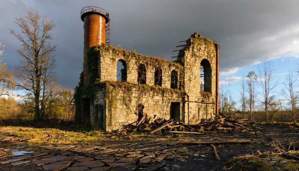
Before the name faded from maps and memory, Hopewell Furnace was a real, working community in eastern Washington County, Missouri, built around the iron-smelting operation that gave it its name. Settlers platted the town in 1858, and a post office had already been operating since 1855, anchoring early community life along Hopewell Creek south of Summit and Route 8.
Hopewell Furnace was a real place — a working iron community platted in 1858, rooted along Hopewell Creek in eastern Washington County.
That industrial history shaped everything — the name, the population, the purpose. When the furnace era passed, community decline followed slowly but steadily.
By 1886, even the post office had dropped “Furnace” from its name, becoming simply Hopewell. The mail kept moving until 1978, but the town didn’t survive long after.
What you’ll find today is open countryside where a working settlement once stood.
The Iron Furnace That Put Hopewell on the Map
The blast furnace didn’t just name this community — it built it. In the mid-1800s, iron production drove settlement across Missouri’s rural counties, and Washington County was no exception. The furnace here drew workers, families, and commerce to a creek-side location that would eventually carry its name: Hopewell Furnace.
That industrial heritage gave the settlement its identity and its momentum. When the furnace era faded, so did the community’s economic foundation. You can trace that arc through the post office record — established in 1855, renamed simply “Hopewell” in 1886, and finally closed in 1978.
Each date marks a chapter of community decline. Understanding the furnace isn’t just historical background — it’s the key to understanding why this place existed at all.
Hopewell Furnace’s Timeline: 1855 to 1978
Four dates carry the weight of Hopewell Furnace’s entire story: 1855, 1858, 1886, and 1978.
In 1855, the post office opened, giving the settlement its first official identity. Three years later, community development accelerated when the town platted its boundaries, cementing Hopewell Furnace as a real place on Missouri’s map.
Then industrial decline reshaped everything. As the blast furnace faded from relevance, the community quietly shed its iron-era name.
By 1886, the post office dropped “Furnace” entirely, and plain “Hopewell” carried the settlement forward. That name held for nearly another century, the post office running until 1978 before closing for good.
When you trace those four dates, you’re not just reading history — you’re watching a place live, adapt, and eventually disappear into the countryside.
Where Hopewell Furnace Sits in Washington County Today
Knowing when Hopewell Furnace lived and died only gets you so far — at some point, you’ll want to know where to actually look. You’ll find the community remnants in eastern Washington County, Missouri, tucked along Hopewell Creek south of Summit and Missouri Route 8.
The terrain around you’ll be rolling farmland, quiet and unhurried. No preserved main street greets you, no roadside signs mark the industrial decline that slowly swallowed this place.
What you’re standing in is open countryside that once held a platted settlement, a working blast furnace, and a functioning post office. Bring historical plat maps and county archive printouts.
The land won’t hand you anything — you’ll need to read the landscape itself, matching geography to history on your own terms.
What Remains at the Hopewell Furnace Site
What’s left at Hopewell Furnace isn’t ruins you can photograph or a plaque you can read — it’s absence, and learning to recognize absence is the whole skill here. No preserved main street greets you. No roadside signs mark the spot.
What’s left here isn’t ruins or plaques — it’s absence, and learning to recognize absence is the whole skill.
The industrial remnants of the blast furnace that named this place have vanished into rolling farmland, leaving only geography as your guide.
You’ll navigate by Hopewell Creek, Route 8, and old plat maps rather than landmarks. Cemetery sites sometimes survive where towns don’t, so scan the terrain carefully — a cluster of stones in a field often outlasts everything else a community built.
Bring your map, trust your instincts, and let the quiet countryside tell you what the historical record started.
How to Reach Hopewell Furnace via Missouri Route 8
Once you’ve accepted that the site won’t announce itself, getting there becomes its own puzzle worth solving.
Missouri Route 8 cuts through eastern Washington County far from urban development and conventional tourist attractions, placing you directly in Hopewell Furnace territory.
Use these orientation anchors:
- Hopewell Creek runs south of Summit — follow it conceptually as your landmark thread.
- Summit serves as your closest named reference point along Route 8.
- County plat maps replace GPS confidence here — download them before you leave.
- Rural road intersections near the creek corridor mark your best on-foot search zones.
You’re orienting yourself by history, not signage. Keep your maps accessible, your expectations flexible, and your curiosity sharp.
The road itself rewards the kind of traveler who prefers discovery over direction.
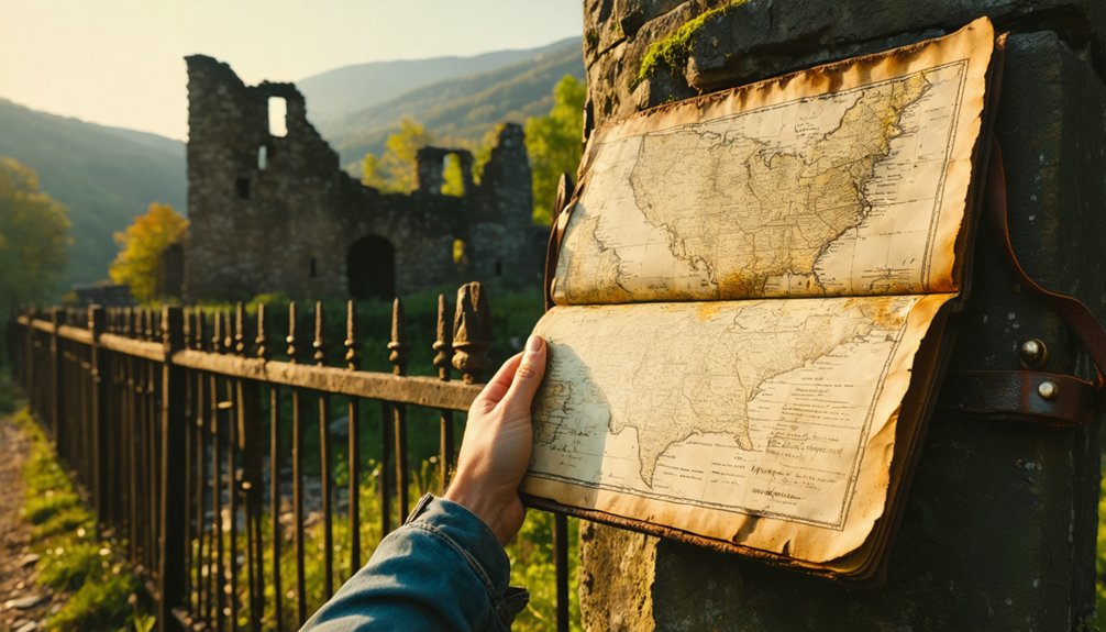
Once you’ve arrived in the area, you’ll want to pull up historical plat maps from Washington County archives to pinpoint where Hopewell Furnace’s original 1858 layout actually sat.
Cross-reference those plats against county deed records, which can confirm property boundaries tied to the old townsite and blast furnace operation.
Then walk that data against the landscape itself, matching creek alignments along Hopewell Creek and road corridors near Route 8 to separate the former settlement from the surrounding farmland.
Locating Historical Plat Maps
Since no roadside signs or interpreted landmarks mark the former townsite, historical plat maps and county records become your most essential tools for locating Hopewell Furnace. The 1858 platting left a paper trail connecting industrial heritage to the modern landscape. Track down these resources before you leave home:
- Washington County Archives — plat records anchored to the 1858 survey
- Missouri State Archives online portal — searchable post office and settlement records
- Historic USGS topographic maps — overlay these against current Route 8 terrain
- GLO (General Land Office) survey maps — identify abandoned structures and creek-line boundaries near Hopewell Creek
Cross-referencing these sources lets you walk the rolling farmland with purpose, matching landscape features to historical coordinates rather than wandering blindly through open countryside.
Cross-Referencing County Archives
With your plat maps and digital archives assembled, cross-referencing Washington County records against GLO survey boundaries turns a featureless stretch of rural Route 8 into a readable historical document. Match the 1858 plat against modern parcels, and you’ll start pinpointing where Hopewell Creek once anchored the town’s footprint.
County deed records often preserve the clearest evidence of community decline — lot transfers slow, then stop, marking the quiet surrender of a living settlement. Industrial relics tied to the original blast furnace may surface in surveyor notes or early tax records, giving you geographic anchors that no roadside sign will provide.
Pull assessor records alongside the plat, and you’re no longer guessing. You’re tracing a real town’s final decades with documents that reward careful, independent research.
Matching Maps To Landscape
When you’ve assembled your plat maps and county records, the real work begins — translating flat historical documents into a three-dimensional landscape along Hopewell Creek.
Industrial heritage doesn’t announce itself here; community decline erased most visible markers long ago. You’ll need to read the land itself.
Use these comparison points to orient yourself:
- Creek alignment — Hopewell Creek runs predictably; match its bends against your 1858 plat lines
- Road corridors — Route 8 and the Summit road junction anchor your northern reference
- Elevation shifts — rolling farmland often preserves subtle grade changes near former building sites
- Vegetation patterns — old settlement areas sometimes show distinct tree groupings or disturbed soil
Move slowly, cross-reference constantly, and trust your documents over your assumptions. The landscape rewards patience.
What to Bring for a Rural Ghost-Town Search Like This
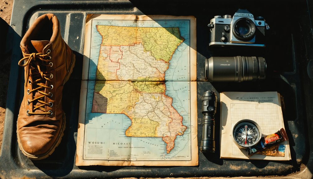
Because Hopewell Furnace offers no visitor facilities, roadside markers, or interpreted landmarks, you’ll need to arrive fully self-sufficient. Pack the right tools and resources before you leave home. Download offline topographic maps and carry printed plat maps pulled from county archives. A compass still earns its place beside your phone.
Bring enough water and food for several hours of rural exploration, since the surrounding farmland offers nothing commercial nearby. Sturdy boots handle uneven terrain better than trail runners when you’re pushing through overgrown field edges.
A notebook and camera help you document what you find for later comparison against historical records. Portable battery packs keep your devices running when signal drops. Dress for the season, because this quiet, rolling countryside doesn’t shelter you from weather.
Nearby Washington County Ghost Towns Worth the Drive
Washington County holds more than one forgotten settlement, so pairing your Hopewell Furnace visit with nearby ghost towns makes the drive worth every mile. The region’s industrial heritage runs deep, and abandoned structures dot the rural landscape if you know where to look.
Washington County rewards the curious traveler — ghost towns and forgotten history wait just beyond every unmarked turn.
Consider adding these stops to your route:
- Caledonia – an early county seat with surviving historic architecture
- Richwoods – a quiet former settlement tucked into rolling farmland
- Irondale – tied directly to Missouri’s iron-furnace industrial heritage
- Mineral Point – a mining-era community with compelling backstory
Each stop rewards curiosity over comfort. You won’t find tourist infrastructure, but you’ll find honest history written across the land.
Bring your plat maps, keep your tank full, and let Washington County’s forgotten places tell their own story.
Frequently Asked Questions
Is There a Fee to Access the Hopewell Furnace Ghost Town Site?
Like an open book, you’ll find no fee blocks your path to Hopewell’s ghost town ruins. You can freely explore its furnace history across rolling farmland, though no formal attractions or visitor facilities await you there.
Are There Any Annual Events or Historical Tours Held Near Hopewell?
You won’t find confirmed historical reenactments or organized tours at Hopewell Furnace, but exploring nearby Washington County may uncover local folklore events that breathe life into Missouri’s forgotten rural past. Check county historical societies for seasonal programming.
Can Metal Detectors Be Legally Used at the Hopewell Furnace Site?
You’ll want to research local metal detecting regulations before visiting, since historical preservation laws can restrict use at former settlement sites. Always check with Washington County authorities to guarantee you’re legally cleared before you dig.
Is the Hopewell Furnace Area Privately Owned or on Public Land?
private ownership likely controls the Hopewell Furnace area. Before you roam freely, you’ll need to verify land access — contacting local authorities or landowners guarantees you’re exploring without legal consequences.
What Is the Best Season to Visit Hopewell Furnace Ghost Town?
Spring and fall offer you the best visits — mild temps make historical preservation exploration comfortable, you’ll spot wildlife sightings easily, and the quiet rolling farmland evokes that raw, open freedom ghost-town hunters crave most.
References
- https://en.wikipedia.org/wiki/List_of_ghost_towns_in_Missouri
- https://www.youtube.com/watch?v=4LumQv_A8cI
- https://urbanmatter.com/12-eerie-ghost-towns-you-can-still-visit-around-america/
- https://en.wikipedia.org/wiki/Hopewell
- https://stuofdoom.com/main/?p=2735
- https://en.wikipedia.org/wiki/Howell
- https://www.nps.gov/hofu/index.htm
- https://kids.kiddle.co/Hopewell