
Walnut Grove, Indiana is a ghost town hiding in plain sight beneath Warren County’s open farmland. You won’t find crumbling walls or weathered signs — just flat fields where a small farming community once stood. The townsite sits near County Roads 650 North and 500 West, about three miles east of Tab, so precise coordinates are your best friend. Plan your visit for spring or early fall for the clearest views, and keep exploring to uncover everything this forgotten settlement has to offer.
Key Takeaways
- Walnut Grove is located near County Roads 650 North and 500 West, about three miles east of Tab, Indiana, using coordinates 40°24′40″N, 87°24′56″W.
- No structures or ruins remain, so visitors experience only open farmland where the former settlement once stood.
- Visit in late April to May or September to October for optimal road conditions and landscape visibility.
- Combine your trip with other Warren County ghost towns, plotting multiple stops to minimize backtracking and maximize exploration.
- Bring reliable maps and precise coordinates, as no roadside markers or signs indicate the historic townsite.
What Was Walnut Grove, Indiana?
Once a small farming settlement tucked into the flat, open landscape of Prairie Township, Warren County, Walnut Grove, Indiana, has long since faded from the map.
Once a quiet farming settlement in Prairie Township, Warren County, Walnut Grove, Indiana has long since vanished from the map.
By 1913, its population hovered around just 50 residents, and its post office, established in 1872, closed permanently in 1900. Those two dates fundamentally bookend the town’s brief, quiet existence.
You won’t find historic architecture standing here today. Agricultural fields have swallowed the former townsite whole, leaving little for the eye to catch.
What survives lives in county records, historical coordinates, and the kind of local legends that ghost town enthusiasts chase across rural Indiana.
Walnut Grove represents something worth understanding — a community that rose, struggled against isolation and hardship, and ultimately disappeared into the farmland surrounding it.
Where Is the Walnut Grove Townsite Located?
You’ll find the Walnut Grove townsite in Prairie Township, Warren County, Indiana, at coordinates 40°24′40″N, 87°24′56″W.
The site sits roughly three miles east of Tab, which serves as your closest reference point when orienting yourself along rural county roads.
To reach it, you’ll follow County Roads 650 North and 500 West through flat, open farmland that now covers nearly all traces of the original settlement.
Prairie Township Coordinates
Where exactly do you go when there’s nothing left to see? You’ll want to lock in these coordinates before you head out: 40°24′40″N, 87°24′56″W. That’s the mapped heart of what was once Walnut Grove, sitting in Prairie Township, Warren County, Indiana.
You’ll find the site near the intersection of County Roads 650 North and 500 West, roughly three miles east of Tab. The flat, open farmland stretching around you tells its own quiet story. Don’t expect historical artifacts or roadside markers pointing you toward local legends — this place keeps its secrets buried under crop rows.
Pull up the coordinates on your phone, drive out, and take in the landscape. Sometimes the absence of a town speaks louder than its ruins ever could.
Nearby Tab Reference
Tab, Indiana gives you the clearest landmark to anchor your search. From Tab, you’re looking at roughly three miles heading east before you reach the former Walnut Grove townsite. It’s a straightforward rural drive, but knowing Tab exists keeps you oriented when county road signs feel sparse.
Tab itself carries its own historical anecdotes tied to Warren County’s agricultural past, making the short drive feel layered with context. Locals who know the area sometimes share local legends about communities like Walnut Grove that quietly disappeared after railroads bypassed them entirely.
You won’t find a dramatic entrance marking the townsite. Instead, you’ll cross into flat, open farmland where a once-functioning community stood.
Tab simply gives your GPS and your imagination a reliable starting point.
What Killed Walnut Grove, Indiana?
When you look out at the flat farmland surrounding the Walnut Grove townsite, you’re seeing the very force that ultimately consumed it.
The town never secured railroad access, cutting it off from the trade networks that kept small Indiana communities alive through the late 1800s.
Without that economic lifeline, the settlement shrank, the post office closed in 1900, and the fields quietly swallowed whatever remained.
No Railroad, No Growth
Walnut Grove never stood a chance once it became clear the railroad wasn’t coming. In the 19th century, rail access wasn’t just convenient — it was everything. Towns connected to rail lines thrived, drawing merchants, settlers, and opportunity.
Those without it slowly faded into the surrounding farmland.
That’s exactly what happened here. Without rail, Walnut Grove couldn’t compete for trade or growth. Goods moved slowly, markets stayed distant, and ambitious residents eventually left for better-connected communities.
The historical anecdotes surrounding similar Indiana settlements reveal a familiar pattern — isolation quietly dismantles what ambition builds.
The cultural significance of this story runs deep. Walnut Grove reminds you that infrastructure shapes destiny. Freedom to thrive often depends on access, and without it, even determined communities can vanish completely from the map.
Isolated From Trade
Isolation didn’t just slow Walnut Grove down — it cut the town off from the trade networks that kept small communities alive. Without reliable connections to larger markets, residents couldn’t easily move goods, access supplies, or attract outside investment.
Historical anecdotes suggest that locals did what they could, but geography worked against them.
Here’s what isolation actually meant for Walnut Grove:
- No merchant traffic meant limited goods and shrinking economic opportunity
- Local legends hint at residents relocating to better-connected towns once options dried up
- Farm surpluses went unsold or traveled long distances at great personal cost
You’re looking at a place where self-sufficiency had limits. When those limits hit, people left — and Walnut Grove quietly disappeared into the farmland surrounding it.
Farmland Swallowed The Town
By the time Walnut Grove’s post office closed in 1900, the town had already lost its fight. Historical agriculture didn’t save it — farming kept the land productive but couldn’t sustain a community cut off from railroads and regional trade.
Settlement patterns in Warren County favored towns with stronger connections, and Walnut Grove simply didn’t have them.
Today, you won’t find ruins or crumbling foundations when you visit. Fields stretch across the former townsite at County Roads 650 North and 500 West, and the flat Prairie Township landscape looks the same in every direction.
The land absorbed the town completely. What once held a population of roughly 50 people now grows crops.
You’re looking at living proof that isolation, not disaster, quietly erases a place.
How to Get to Walnut Grove by County Road
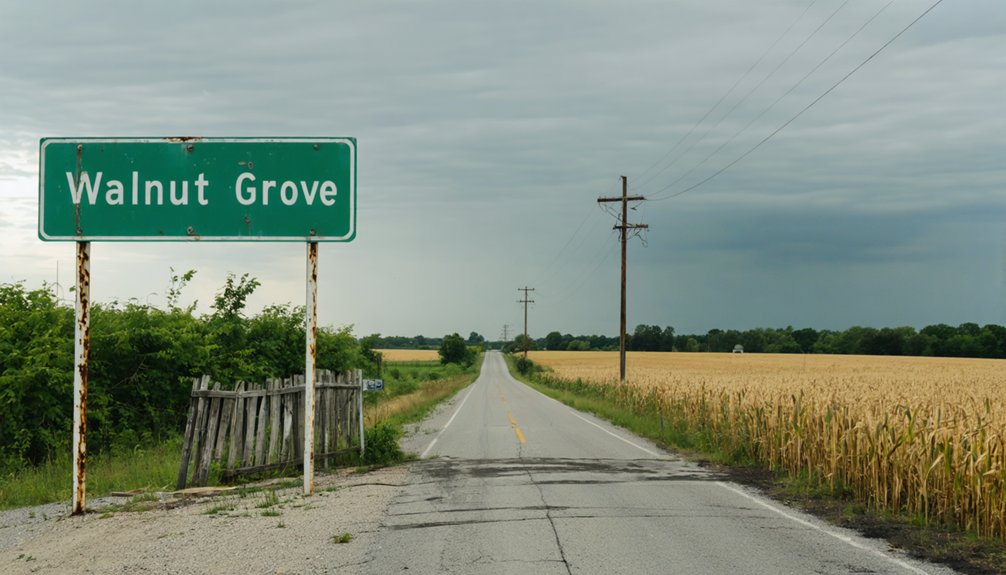
Getting to Walnut Grove means maneuvering the quiet county roads of Prairie Township in Warren County, Indiana. You’ll find the site near the intersection of County Roads 650 North and 500 West, roughly three miles east of Tab.
Pull up historical maps before you leave — they’ll sharpen your sense of what once stood here and fuel the local legends you’ll want to carry with you.
Here’s what to keep in mind for your drive:
- Use GPS coordinates 40°24′40″N, 87°24′56″W to pinpoint the exact townsite.
- Tab, Indiana serves as your closest practical landmark.
- Expect no signage — this is open farmland, not a maintained historic site.
Plan for a drive-by visit and bring your curiosity.
What’s Left to See at Walnut Grove Today?
When you arrive at the former townsite of Walnut Grove, you’ll find flat, open farmland where a community of roughly 50 people once lived and worked.
County Roads 650 North and 500 West mark the intersection, giving you a clear geographic anchor, but don’t expect visible ruins or historical artifacts lining the roadside.
County Roads 650 North and 500 West mark the spot, but don’t expect much waiting for you there.
The settlement has largely vanished beneath agricultural fields, and preservation efforts never took hold here.
No standing structures survive to frame the scene.
What you’re really experiencing is the absence itself — a quiet, wide-open landscape that tells its own story about isolation, decline, and forgotten Indiana history.
Plan this as a drive-by stop rather than a walking tour.
Bring your curiosity and a good map, and let the coordinates do the talking.
Best Time of Year to Drive Out to Walnut Grove

Once you’ve decided this flat, empty crossroads is worth the drive, timing your visit can make the difference between a peaceful rural experience and a frustrating one. Spring and early fall offer the clearest views across Warren County’s open farmland, letting you absorb the historical anecdotes tied to this vanished settlement without fighting muddy roads or blinding summer crop growth.
Consider these practical timing factors:
- Late April through May opens sight lines before corn and soybean fields grow tall
- September and October bring harvest atmosphere that echoes the agricultural struggles local legends describe
- Avoid winter months when county roads become icy and navigation grows difficult
You’re chasing history here, not infrastructure. Pick a clear weekday, load your coordinates, and go.
Warren County Ghost Towns Worth Adding to the Same Trip
Since Walnut Grove sits in the heart of Warren County’s flat prairie corridor, it pairs naturally with other vanished communities scattered across the same township roads you’re already driving. Warren County holds several forgotten settlements where fragments of historic architecture occasionally survive—weathered foundations, lone structures standing at field edges, and old cemetery plots that mark where towns once breathed.
You’ll find local legends attached to many of these sites, stories passed down through farming families about why communities collapsed or simply disappeared. Plotting two or three stops onto a single route lets you cover serious ground without backtracking.
Check county plat maps before you leave home, note the coordinates, and keep your expectations realistic. You’re chasing history here, not tourist infrastructure.
How Walnut Grove Compares to Other Vanished Indiana Settlements
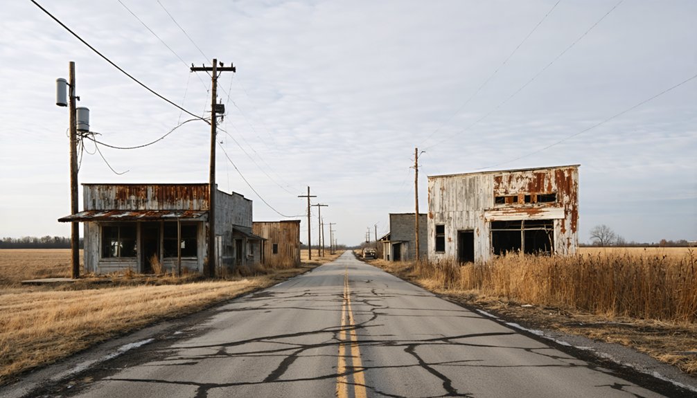
Walnut Grove fits a pattern you’ll recognize once you’ve chased enough Indiana ghost towns—a small farming community that peaked before the railroads solidified regional trade routes, lingered through a post office for a few decades, then quietly disappeared into the fields.
Its historical population of around 50 reflects a settlement that never scaled beyond subsistence-level farming. Economic decline followed a familiar script.
What sets Walnut Grove apart from similar vanished towns:
- No railroad access accelerated its fade faster than towns that secured even minor rail connections
- A grasshopper plague in 1870 added early hardship before decline fully set in
- The post office closed in 1900, leaving a cleaner historical endpoint than many comparable settlements
You’re not finding ruins here—you’re reading a landscape.
Frequently Asked Questions
Was Walnut Grove Ever Considered for Official Indiana Historical Landmark Status?
The available records don’t confirm Walnut Grove’s official Indiana historical landmark status. You’ll find its community heritage lives through historic preservation efforts documenting vanished settlements, keeping this forgotten farming ghost town’s story alive for freedom-seeking explorers.
Are There Any Surviving Photographs or Illustrations of Walnut Grove From Its Era?
With only 50 residents recorded by 1913, Walnut Grove left almost no visual legacy. You won’t find confirmed historical photographs or town illustrations — this vanished settlement slipped away before cameras commonly captured Indiana’s smallest rural communities.
Did Any Walnut Grove Families Relocate Together to Nearby Growing Towns?
No records confirm specific family relocation patterns from Walnut Grove, but you’ll find that town consolidation history suggests families likely drifted toward nearby Warren County communities seeking railroad access, stronger trade networks, and better opportunities for thriving agricultural lives.
Can Visitors Legally Access the Private Farmland Covering the Original Townsite?
You can’t access the private farmland without permission — farm access regulations and private land restrictions protect these fields. Instead, you’ll enjoy the site’s history freely from the county road.
Are Any Descendants of Walnut Grove Residents Still Living in Warren County?
You’ll find genealogical records may reveal ancestral connections to Walnut Grove’s former residents still living in Warren County today. Explore local archives and family histories to uncover whether descendants remain rooted in this region.
References
- https://en.wikipedia.org/wiki/Walnut_Grove
- https://www.facebook.com/groups/michianahistory/posts/2866330953552223/
- https://www.reddit.com/r/littlehouseonprairie/comments/16u5shm/the_town_of_walnut_grove/
- https://en.wikipedia.org/wiki/List_of_ghost_towns_in_Indiana
- https://www.wikiwand.com/en/map/Walnut_Grove
- https://www.facebook.com/groups/366566963524193/posts/2985751748272355/
- https://littlehouse.fandom.com/wiki/Lars_Hanson