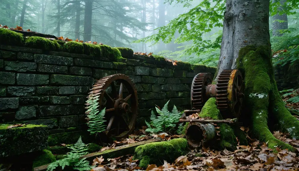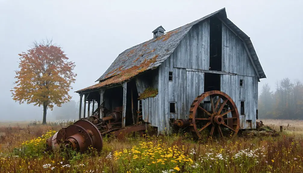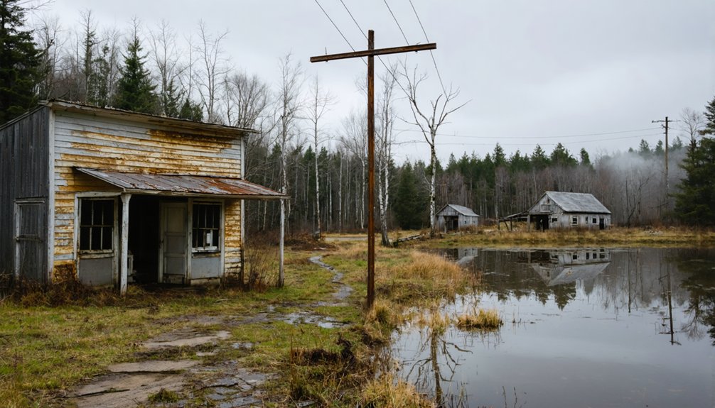
Start your ghost town road trip at Ricker Pond State Park, where the Forest History Trail follows a former railroad bed through 26,000 acres of reclaimed Vermont wilderness. You’ll pass Peabody’s Mill, the Tin Pan Flag Stop, and reach Owl’s Head cliff at mile 3.6 for sweeping forest views. The full one-way trail runs 7.5 miles and takes four to five hours. Everything you need to plan the perfect lakeside Groton Pond loop is just ahead.
Key Takeaways
- Start at Ricker Pond State Park on VT Route 232, where parking is free and the Forest History Trail begins its 7.5-mile route.
- Historic ghost sites like Peabody’s Mill and Tin Pan Flag Stop appear along the trail, now quietly reclaimed by second-growth forest.
- Reach Owl’s Head cliff at mile 3.6 for expansive views before crossing VT Route 232 at mile 4.4 to loop back toward Groton Pond.
- The full route takes four to five hours one-way; plan a half-day out-and-back for a shorter, leisurely exploration.
- Avoid visiting during mud season (March–April) or winter, when trail and road conditions can deteriorate rapidly without warning.
Why Groton State Forest Qualifies as a Ghost Town Road Trip
When most people picture a ghost town, they imagine a single crumbling main street frozen in time — but Groton State Forest tells its story differently, scattered across miles of reclaimed wilderness.
Here, former mill sites, vanished rail stops, and abandoned corridors have been swallowed by forest ecology, returning to land shaped now by wildlife migration rather than industrial ambition.
You won’t find a preserved town center. Instead, you’ll trace the ghost of the Montpelier and Wells River Railroad along old rail beds, passing remnants like Peabody’s Mill and the Tin Pan Flag Stop.
The wilderness has reclaimed what industry left behind. That’s exactly what makes this route compelling — it rewards curious travelers who prefer their history woven into landscape rather than displayed behind glass.
Where Does the Groton Forest History Trail Begin?
You’ll find the starting point for the Groton Forest History Trail at the Ricker Pond State Park entrance on VT Route 232, at the south end of the forest.
From there, the trail stretches 7.5 miles one-way along a former railroad bed, pulling you deeper into the vanished world of mill settlements and flag stops.
Keep VT Route 232 on your map, as it serves as both your access corridor and a later intersection point at mile 4.4 along the route.
Trail Access Point Location
Expect to encounter:
- Old railroad grades smoothed by decades of reclaimed wilderness
- Wildlife encounters along forested stretches where deer and birds reclaim abandoned corridors
- Local legends tied to mill communities that once thrived then quietly disappeared
- Interpretive markers identifying former industrial and passenger rail sites
- Seasonal trail conditions worth checking before you arrive
You’re not just parking a car — you’re stepping onto a former working railroad bed that once connected living settlements.
That entrance on Route 232 is where your ghost-town story actually starts.
Starting At Ricker Pond
The Groton Forest History Trail begins at the Ricker Pond State Park entrance on VT Route 232, at the forest’s south end — and that’s the only place you’ll want to start. Pull in, orient yourself, and you’ll immediately feel the weight of what this land holds.
From here, 7.5 miles of former railroad corridor stretch north through active forest management zones and wildlife preservation areas, threading past mill ruins and vanished rail stops. The old railroad bed keeps grades gentle, making the route accessible without sacrificing depth or discovery.
Starting at Ricker Pond also anchors your day — the pond itself offers a quiet moment before you push into the forest’s interior, where the real history waits along every bend of the trail.
Finding VT Route 232
VT Route 232 cuts through the heart of Groton State Forest, and finding it’s straightforward once you’re oriented in central Vermont’s Northeast Kingdom. The Groton Forest History Trail launches from the Ricker Pond State Park entrance right along this corridor, placing you inside a living landscape shaped by forest ecology and historical preservation.
Use these landmarks to orient yourself:
- Follow VT Route 232 north from US Route 302
- Watch for Ricker Pond State Park signage on your left
- Park near the Ricker Pond entrance to access the trailhead
- Note the old railroad bed running parallel to the road
- Pick up trail materials at the park office before heading out
You’re now standing at the threshold of 7.5 miles of vanished railroads and forgotten mill communities.
Abandoned Mills and Railroad Stops Inside Groton State Forest
As you walk the Groton Forest History Trail, you’ll pass the remnants of Peabody’s Mill, where a working industrial community once relied on the forest and its waterways to survive.
The trail also leads you through the Tin Pan Flag Stop, a ghost of the former Montpelier and Wells River Railroad where passengers once boarded trains serving settlements that no longer exist.
These vanished sites reveal how tightly rail and mill economies were woven into the landscape before the forest quietly reclaimed them.
Mill Sites Along Trail
Once you set foot on the Groton Forest History Trail, you’re walking the same corridor that mill workers and rail passengers traveled more than a century ago. The forest has quietly reclaimed these sites, blending mining relics into its recovering forest ecology.
Watch for these highlights as you explore:
- Peabody’s Mill site – a vanished industrial landmark swallowed by second-growth trees
- Tin Pan Flag Stop – where passengers once hailed trains from near-wilderness
- Old railroad bed – gentle grades reveal the Montpelier and Wells River Railroad’s original path
- Waterway remnants – streams that once powered local mills still thread the forest
- Owl’s Head cliff view – appearing at mile 3.6, rewarding your forward momentum
Each stop connects land, labor, and a life that the woods have since reclaimed.
Vanished Railroad Stops
The Montpelier and Wells River Railroad didn’t just move timber and freight through these woods — it built a way of life that vanished almost as completely as the tracks themselves. As you walk the old rail bed, you’ll pass the Tin Pan Flag Stop, once a living pulse point where passengers boarded trains that no longer run.
These weren’t ghost stories — they were working communities that railroads summoned into existence, then left behind. Today, the corridor survives as a corridor of historical preservation, its former stops absorbed by wildlife habitat and second-growth forest.
You’re walking through a landscape that nature and time have quietly reclaimed. No markers announce the loss, but the silence between the trees says everything you need to hear.
What to Expect at the Owl’s Head Overlook at Mile 3.6
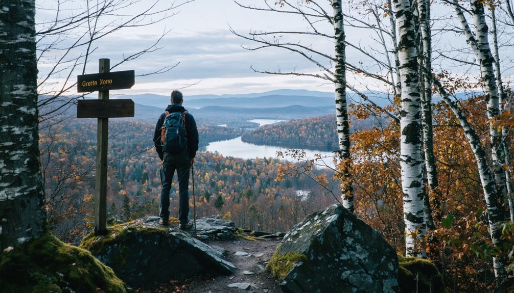
At mile 3.6 along the Groton Forest History Trail, you’ll arrive at one of the route’s most rewarding payoffs: a clear, open view of Owl’s Head cliff rising above the surrounding forest canopy.
Pause here and take it in. This vantage point reveals the forest ecology of Vermont’s Northeast Kingdom in full dimension.
Watch for:
- Owl’s Head cliff framed against open sky
- Wildlife encounters with hawks riding thermal currents above the ridgeline
- Layered tree canopy showing mixed northern hardwood and boreal forest zones
- Seasonal color shifts that dramatically alter the view
- Quiet that signals genuine wilderness, not managed parkland
You’ve earned this stop after miles on the old railroad bed. It rewards the unhurried traveler who moves through landscape rather than past it.
How Long Does the Groton Forest History Trail Take?
Planning your time on the Groton Forest History Trail starts with one key fact: it runs 7.5 miles one-way, so you’ll want to decide early whether you’re walking the full length, spotting a car at each trailhead, or turning back at a natural milestone like the Owl’s Head overlook at mile 3.6.
The old railroad bed keeps grades gentle, letting you move at a relaxed pace without grinding climbs.
Budget four to five hours for the full one-way route, especially if you’re pausing for wildlife photography along the forest corridor or stopping to absorb the local folklore tied to vanished mill communities like Peabody’s Mill.
A half-day out-and-back to mile 3.6 suits travelers who want the scenic payoff without committing to the full distance.
Parking, Seasonal Access, and Road Conditions on VT Route 232
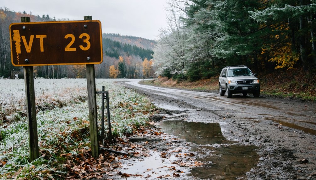
Keep these access essentials in mind before you go:
Keep these access essentials in mind before you go—preparation makes all the difference in Vermont’s ever-changing landscape.
- Parking is available directly at the Ricker Pond entrance without reservation.
- VT Route 232 remains paved but carries seasonal traffic fluctuations.
- Winter access may be limited due to snow and forest management operations.
- Wildlife habitat zones along the corridor mean occasional animal crossings—stay alert.
- Road conditions shift quickly in mud season, typically March through April.
Plan your arrival accordingly, and you’ll move freely through one of Vermont’s most rewarding heritage landscapes.
How to Build a Full-Day Loop Around Ricker Pond and Groton Pond
Once you’ve sorted your parking and seasonal timing, you’re ready to string the area’s best sites into a single rewarding loop.
Start at Ricker Pond State Park, where the Forest History Trail begins along the old railroad bed. Walk the first 3.6 miles to catch Owl’s Head cliff rising above the tree line — a natural pause worth taking slowly.
Wildlife sightings are common here, especially in early morning when the forest ecology shifts between nocturnal and daytime rhythms.
Continue to the VT Route 232 crossing at 4.4 miles, then loop back toward Groton Pond for a shoreline break.
Ricker’s Mills and West Groton add short detours if you’re driving the return.
The full day runs lean, purposeful, and genuinely unhurried.
How Groton’s Ghost Town History Fits Vermont’s Abandoned Town Pattern
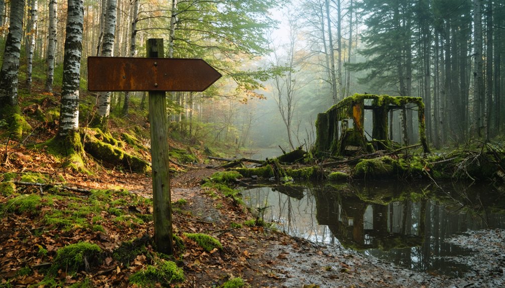
Groton’s abandoned mill sites and vanished rail stops aren’t outliers in Vermont’s landscape — they’re part of a recurring pattern that shaped dozens of small communities across the state. Lost settlements appear wherever railroads once ran and mills once hummed, then fell silent when economics shifted.
You’ll recognize this pattern beyond Groton:
- Railroad remnants mark former stops like Tin Pan Flag Stop, now swallowed by forest
- Glastenbury Mountain holds a ghost town lost at the turn of the century
- Folklore and disappearances layer mystery over abandoned communities statewide
- Reclaimed wilderness erases boundaries between history and landscape
- Small populations preserve local memory rather than commercial development
Vermont doesn’t erase its past — it lets the trees reclaim it slowly, leaving trails for curious travelers like you to follow.
Frequently Asked Questions
Are Pets Allowed on the Groton Forest History Trail?
The knowledge base doesn’t confirm pet policies, so check with Ricker Pond State Park directly. For pet safety and trail accessibility, calling ahead guarantees you and your furry companion explore freely and confidently.
Is the Groton Forest History Trail Suitable for Young Children?
The trail’s gentle railroad bed makes it manageable for young children. You’ll explore historical landmarks and pause at scenic viewpoints, like Owl’s Head cliff at 3.6 miles, turning history into an unforgettable family adventure through Vermont’s wild past.
Are There Restroom Facilities Along the Trail Route?
The knowledge doesn’t confirm restroom availability or trail facilities along the route, so check with Ricker Pond State Park before you head out — they’ll give you the freedom to plan your adventure confidently.
Can You Camp Overnight Near the Groton Forest History Trail?
You can camp overnight near the trail! Ricker Pond State Park sits right at the trailhead, offering trail accessibility and a perfect basecamp. Grab your camping permits, pitch your tent, and let the forest’s haunted history surround you.
Is Cell Phone Service Reliable Inside Groton State Forest?
Ironically, cell phone coverage won’t haunt you here—it’ll simply vanish like the ghost towns you’re exploring! Signal strength inside Groton State Forest is unreliable, so you’ll embrace true wilderness freedom. Download your maps before you arrive!
References
- https://www.youtube.com/watch?v=nIyKc_aXugk
- https://ournewenglandlegends.com/the-mystery-of-glastenbury-mountain-vermont/
- https://vtstateparks.com/assets/pdf/grotonforesthistory.pdf
- https://vermont.com/cities/groton/
- https://en.wikipedia.org/wiki/Groton
- https://www.youtube.com/watch?v=LqNhEUtWJFQ