If you’re planning a ghost town road trip, add McCornick, Utah, to your list. Start in Holden along US-6/US-50 in Millard County, then drive approximately 11 miles northwest into Whiskey Creek Flat. You’ll find weathered houses, open pasture, and wide Utah skies—quiet remnants of a land project that collapsed by 1930. Bring a physical map, respect private property, and go prepared for remote conditions. There’s more to know before you head out.
Key Takeaways
- McCornick is located 11 miles northwest of Holden, Utah, making Holden your ideal starting point along US-6/US-50.
- Carry a physical map since cell signals vanish quickly in the remote Whiskey Creek Flat area.
- Visit at dawn or dusk to spot pronghorn and raptors crossing the open flats.
- Pair McCornick with nearby ghost towns to make the 11-mile drive more worthwhile.
- Respect private property boundaries, as the land remains an active working rural area with cattle and farmland.
What Makes McCornick a Utah Ghost Town Worth Visiting?
Although McCornick never grew into a bustling boomtown, it tells a quietly compelling story about failed ambition in the Utah desert. Tucked into Whiskey Creek Flat about 11 miles northwest of Holden, this near-ghost town carries real historical significance as a land project that collapsed by 1930 after just over a decade of life.
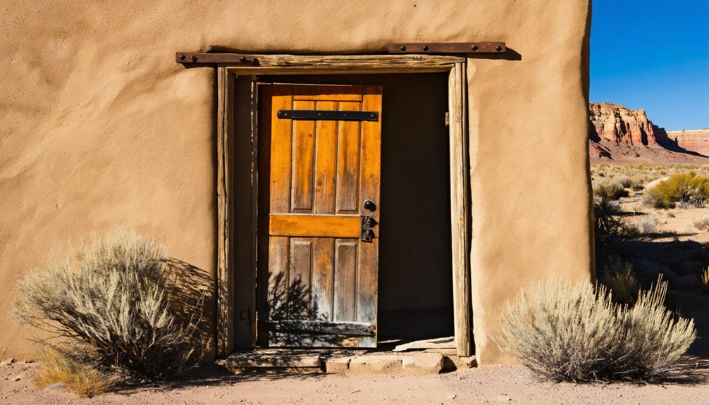
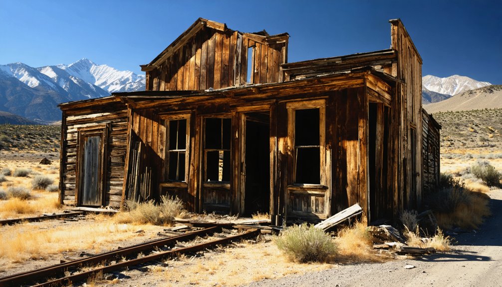
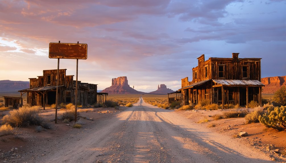
You’ll find two or three weathered houses still standing among pasture and hay fields — scenes that offer genuine photographic opportunities against central Utah’s wide, uncluttered skies. Unlike crowded tourist stops, McCornick rewards independent travelers who appreciate raw, honest landscapes over manufactured experiences.
It’s a place where you can pull over, breathe open air, and feel the weight of a brief, forgotten community without anyone telling you how to experience it.
What You’ll Actually Find at the McCornick Site Today?
When you arrive at McCornick, don’t expect a dramatic collection of weathered storefronts or mining equipment — what you’ll find is a quiet, nearly forgotten landscape with only two or three old houses still standing.
The site has largely returned to agricultural use, with pasture and hay fields covering most of the area where the community once tried to take root.
You’re fundamentally visiting a working rural property, so treat it as a brief scenic stop rather than a walkable historic attraction.
Remaining Structures On Site
Unlike the dramatic ruins that define many classic ghost towns, what you’ll find at McCornick is modest but quietly telling — two or three old houses still standing amid stretches of pasture and hay fields, with a handful of scattered homes and farms dotting the surrounding landscape.
These structures represent what little historical preservation exists at the site, offering a raw, unfiltered glimpse into early 20th-century rural Utah life. The local architecture is simple and utilitarian, reflecting the practical mindset of settlers who arrived between 1919 and 1930 with hopes that never fully materialized.
Don’t expect interpretive signs or restored facades. What you’re seeing is organic survival — buildings that endured not through curation but through continued, quiet use on working agricultural land.
Current Land Use
What greets you at McCornick today isn’t a frozen moment in history but a living, working landscape where pasture and hay fields have quietly absorbed the ambitions of a failed land project. The land doesn’t perform its history for you — it simply continues functioning, indifferent to curious road-trippers seeking historic landmarks among the sagebrush.
Cattle graze where settlers once imagined a thriving community, and local wildlife moves freely across the same Whiskey Creek Flat terrain that proved too unforgiving for permanent settlement.
You’re fundamentally entering someone’s working agricultural operation, so respect boundaries and stay aware of private property lines. The site rewards visitors who appreciate raw, unfiltered rural landscapes over curated attractions — it’s honest geography, not a museum.
How to Get to McCornick From Holden

Start your journey in Holden, a small town that serves as your best launching point for reaching McCornick. From there, you’ll head northwest along rural Millard County roads, covering roughly 11 miles of open Utah landscape before the site comes into view.
Once you arrive, you’ll find a quiet stretch of pasture and scattered old structures rather than a marked destination, so keep your eyes open and your expectations set for raw, unfiltered history.
Starting Point In Holden
Holden, a small town sitting along US-6/US-50 in Millard County, serves as your natural jumping-off point for reaching McCornick. From here, you’re roughly 11 miles northwest of your destination, putting you within easy striking distance of one of Utah’s quiet examples of urban decay frozen in rural form.
Holden itself won’t demand much of your time, but it gives you a chance to fuel up, check your bearings, and mentally shift into exploration mode.
The drive northwest carries you through open ranch country, where historical preservation exists not in museums but in scattered farmsteads and weathered structures still standing against the sky.
Use Holden as your reset point before pushing into the flat, windswept terrain that once held McCornick’s brief, ambitious life.
Northwest Rural Road Route
Once you’ve topped off your tank in Holden, the route northwest unfolds simply but rewards attention. You’ll travel roughly 11 miles through Millard County’s open rural landscape, following local roads across Whiskey Creek Flat toward McCornick’s coordinates near 39.21556° N, 112.40833° W.
The drive itself carries cultural significance — you’re crossing terrain where families once attempted an ambitious land project between 1919 and 1930. Keep your eyes open as you roll through pasture and hay fields, since the site blends quietly into the surrounding farmland.
Don’t expect signage pointing toward historical artifacts or preserved structures. Instead, trust your map, respect private-property boundaries, and confirm road conditions beforehand.
Two or three old houses mark the spot, making arrival feel like genuine discovery rather than a packaged tourist experience.
Arriving At McCornick
Leaving Holden behind, you’ll head northwest into Millard County’s open terrain on a straightforward roughly 11-mile drive toward McCornick’s coordinates at 39.21556° N, 112.40833° W. Rural roads carry you through Whiskey Creek Flat, where scenic views stretch wide and local history quietly lingers beneath the landscape.
Watch for these emotional markers as you arrive:
- The silence — no crowds, no noise, just open land reclaiming a forgotten dream
- Scattered structures — two or three weathered houses standing as raw proof of lives once lived
- Pasture and hay fields — land that outlasted the people who cleared it
- The horizon itself — unbroken and vast, reminding you why freedom still draws people to places like this
Confirm road conditions and respect private property boundaries before exploring.
Nearby Utah Ghost Towns to Pair With McCornick
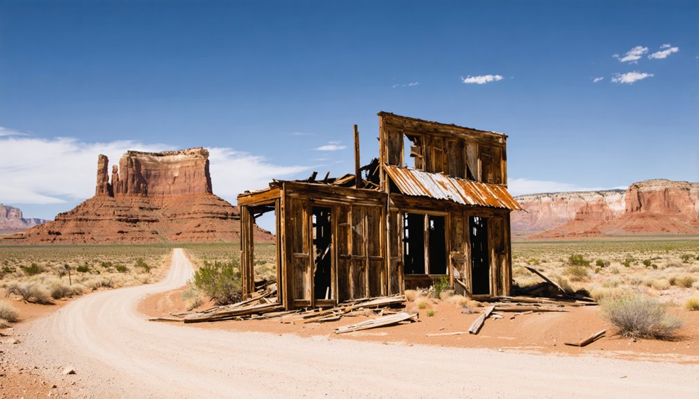
Since McCornick works best as one stop on a longer central Utah loop, pairing it with nearby ghost towns turns a quick drive-by into a full day of historical exploration. Millard County holds several forgotten settlements within reasonable driving distance, each carrying its own historical significance and unique story of boom and bust.
Towns like Holden and surrounding rural communities offer additional photographic opportunities, where crumbling structures and open rangeland create compelling compositions against Utah’s dramatic skies. You’ll travel rural roads connecting these scattered sites, building a layered picture of how settlers struggled and ultimately failed across this unforgiving terrain.
Plan your route carefully, confirm road conditions beforehand, and respect private property boundaries. Together, these stops create a rich, immersive portrait of central Utah’s forgotten past.
Road Conditions and Access in Rural Millard County
Reaching McCornick means traversing rural Millard County roads that can shift quickly from paved highway to unmarked dirt track, so you’ll want to confirm current conditions before you leave. Respect for historical preservation starts before you arrive — damaged roads can close access entirely.
- Check weather forecasts — desert storms turn dirt tracks into impassable mud within minutes.
- Verify property boundaries — active farms and homes surround the site, and trespassing undermines your freedom to explore.
- Watch for local wildlife — pronghorn and raptors cross these open flats unexpectedly, especially at dawn and dusk.
- Carry a physical map — cell signals vanish fast, leaving you genuinely on your own in Whiskey Creek Flat.
Go prepared, and the landscape rewards you completely.
Is McCornick Worth the Drive?
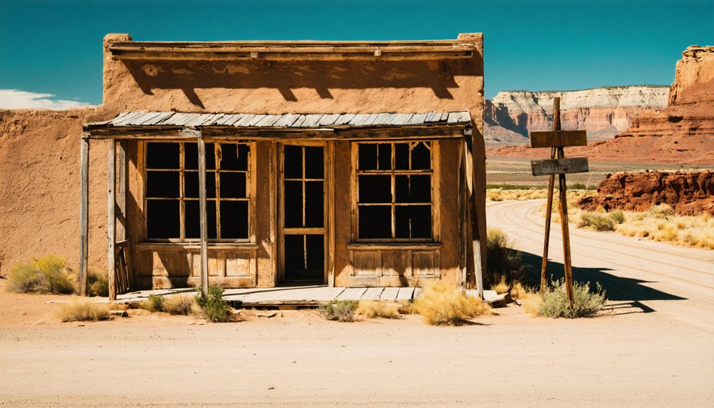
Whether McCornick earns a dedicated detour depends entirely on what you want from a ghost town. If you’re chasing dramatic ruins or art preservation projects, you’ll leave disappointed. McCornick offers something quieter — scattered farmhouses, open pasture, and the faint outline of a community that tried and failed between 1919 and 1930.
What it lacks in spectacle, it compensates with authenticity. You’re reading the land itself, piecing together community stories from what little remains standing. Two or three weathered houses speak louder than any museum placard.
Pair McCornick with other central Utah stops, and it earns its place on the route. Visit it as a standalone destination, though, and the 11-mile drive from Holden might feel longer than it is.
Frequently Asked Questions
How Many Births and Deaths Were Recorded in Mccornick’s History?
You’ll find McCornick recorded 95 births and 10 deaths, revealing fascinating historical population trends. These figures make ghost town tourism here feel alive, showing you a once-thriving community’s brief but spirited human story.
What Were the GPS Coordinates for Mccornick, Utah?
You’ll find McCornick’s ghost town history pinpointed at 39.21556° N, 112.40833° W. These coordinates place this abandoned settlement in Millard County, Utah, letting you navigate directly to its haunting, wide-open rural landscape.
Was Mccornick a Mining Town or a Failed Land Project?
You’ll find McCornick wasn’t a historic mining site — it was a failed land project! This near-ghost town skipped traditional ghost town preservation narratives, instead representing a short-lived settlement that collapsed around 1930 after just a decade of community life.
During What Specific Years Was Mccornick Actively Settled?
You’ll find that McCornick was actively settled from 1919 to around 1930. This brief window defines its story among abandoned settlements, making it a fascinating yet fleeting chapter in Utah’s ghost town tourism history.
What Is the Name of the Flat Where Mccornick Is Situated?
Like a whisper from the past, you’ll find McCornick nestled in Whiskey Creek Flat — a hauntingly evocative setting that echoes Utah settlements’ ghost town history, quietly waiting for you to explore its forgotten story.
References
- https://en.wikipedia.org/wiki/McCornick
- https://www.youtube.com/watch?v=qUEhA_dtUD0
- https://www.utahsadventurefamily.com/5-ghost-towns-in-utah-for-families/
- https://www.reddit.com/r/SaltLakeCity/comments/1d0rme/best_ghost_towns_in_utah/
- https://en.wikipedia.org/wiki/List_of_ghost_towns_in_Utah
- https://pl.abcdef.wiki/wiki/McCornick
- https://mapcarta.com/23431508
- https://www.visitutah.com/things-to-do/history-culture/ghost-towns
- https://en.wikipedia.org/wiki/Category:Ghost_towns_in_Utah