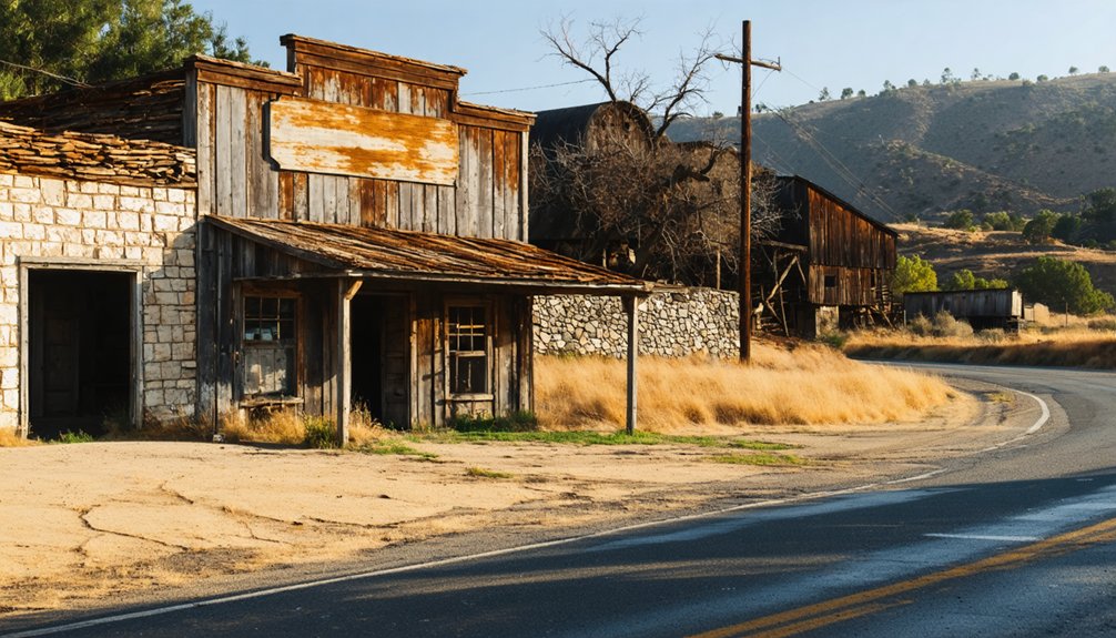
To plan your ghost town road trip to Merced Falls, head six miles east of Snelling in Merced County, California, where crumbling mill walls and railroad abutments line the Merced River’s north bank. Fuel up in Snelling before you go, pack binoculars, and stick to roadside viewing since most of the land is private. The ruins tell only part of the story, and the outlaw legends, industrial rise, and fiery collapse deserve a much closer look.
Key Takeaways
- Merced Falls is located 6 miles east of Snelling in Merced County, accessible via paved roads suitable for standard 2WD vehicles year-round.
- Fuel up in Snelling before visiting, as no nearby restaurants or services are available near this remote ghost town site.
- Most of Merced Falls sits on private property, so observe ruins respectfully from the roadside, using binoculars for closer inspection.
- Pack seasonal clothing layers, sturdy shoes, a camera, binoculars, printed maps, snacks, and water for a self-sufficient visit.
- A historical marker near visible ruins, including railroad abutments and sawmill structures, provides essential context for understanding the site’s industrial past.
Why Merced Falls Never Fully Recovered After 1895
The fire that tore through Merced Falls in August 1895 didn’t just destroy buildings — it erased the foundation of a community that had spent nearly four decades finding its footing. What began with a flour mill in 1856 and grew through woolen and lumber industries couldn’t simply restart after total destruction.
Though lumbering activity resurged from 1912 into the 1940s, the town never recaptured its original identity. Today, you’ll find abandoned structures — concrete sawmill remnants, crumbling foundations hiding in tall grass — that speak to a place frozen between ambition and collapse.
Ghost town legends surrounding figures like Joaquin Murrieta add eerie texture to what remains. Two residences and a closed bar are all that survived the long, quiet fade.
The Rise and Fall of Merced Falls, California
When you look into Merced Falls’ past, you’ll find a community that rose quickly on the strength of its mills, starting with a flour mill in 1856, followed by a woolen mill in 1867.
In August 1895, fire swept through and erased nearly everything the early settlers had built, leaving the town in ashes.
Yet the lumber industry pulled Merced Falls back from the brink, with the Yosemite Lumber Company driving a remarkable recovery that pushed the population to 1,500 and sustained the town well into the 1940s.
Early Mills And Settlement
Nestled on the north bank of the Merced River, Merced Falls earned its name from the rushing rapids that once powered its earliest industries. When you walk this ground, you’re stepping into a story that began in 1856, when settlers harnessed the river’s force to build a flour mill.
By 1857, a post office had opened, and a woolen mill followed in 1867. These weren’t just buildings — they were the foundation of a thriving frontier community. Today, the historical architecture of concrete foundations and mill remnants quietly tells that story.
Local legends even connect this stretch of river to outlaw Joaquin Murrieta and Three-Fingered Jack, adding a wild, rebellious edge to Merced Falls’ otherwise industrious past. It’s history worth exploring on your own terms.
The 1895 Great Fire
August 1895 brought sudden devastation to Merced Falls — a fire swept through and consumed the entire town, erasing decades of growth in a single catastrophic event. Vintage photographs capture what once stood; local legends keep the memory alive. Yet the community refused to disappear entirely.
Here’s what the fire reveals about Merced Falls’ resilient spirit:
- Total destruction — Every structure burned, proving how fragile frontier prosperity truly was.
- Remarkable recovery — Residents rebuilt, and the town reached its peak activity by 1912, demonstrating extraordinary determination.
- Lasting mystery — Local legends surrounding the fire’s cause still circulate, giving the site an eerie, compelling atmosphere.
When you visit today, you’re standing on ground that literally rose from ashes.
Lumber Industry’s Peak
After rebuilding from the ashes of 1895, Merced Falls found its true economic engine in lumber. The Yosemite Lumber Company drove commercial growth, transforming this small riverside community into a bustling operation.
At its peak, you’d have found 1,500 residents — mostly lumber workers — filling the town with purpose and noise.
The Yosemite Valley Railroad hauled cut logs efficiently, keeping the mills running strong from 1912 into the 1940s. That era represented the town’s greatest ambition.
When the timber ran out, so did the people. Today, historical preservation efforts help you trace what once thrived here — concrete foundations and railroad abutments tell the story the trees no longer can.
Community redevelopment never fully took hold, leaving Merced Falls frozen beautifully in its own silence.
How the Yosemite Lumber Company Built and Defined Merced Falls
What turned a small riverside settlement into a bustling lumber town? The Yosemite Lumber Company did. Arriving in the late 1800s, it transformed Merced Falls from a quiet mill community into a thriving operation that peaked between 1912 and the 1940s, drawing 1,500 workers hungry for opportunity.
The Yosemite Valley Railroad hauled cut logs efficiently, connecting remote forests to commerce. You’ll notice the historical architecture still whispering those stories through concrete sawmill foundations and railroad abutments near the riverbank.
Here’s what the company truly built:
- A self-sustaining workforce community
- Critical railroad infrastructure linking timber resources
- A cultural identity tied to local legends, including tales of Joaquin Murrieta
Walk the road today and you’ll feel that restless, independent spirit still lingering.
What You’ll Still See at the Merced Falls Site Today
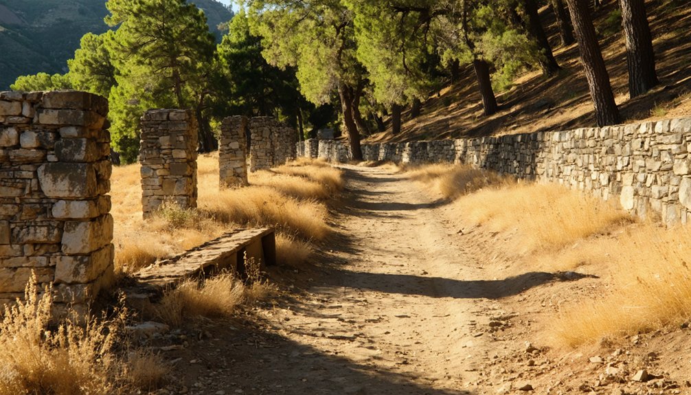
Though little remains standing, Merced Falls still delivers a hauntingly tangible connection to its industrial past. You’ll spot railroad abutments, crumbling walls, and concrete foundations scattered across the landscape — quiet evidence of a once-thriving mill town.
At the river’s edge, concrete sawmill structures still cling to the bank, remnants of historic architecture that survived decades of neglect.
Grassy areas conceal additional mill foundations, rewarding curious explorers who look closely. A historical marker near the site gives context to what you’re seeing.
Local wildlife now moves freely through spaces where 1,500 lumber workers once lived and worked, reclaiming the land with an unhurried pace.
Two occupied residences and a closed bar remind you that Merced Falls never fully disappeared — it simply faded into something rawer and quieter.
How to Get to Merced Falls, California
You’ll find Merced Falls at coordinates 37.52306°N, 120.33250°W in Merced County, California, tucked along the north bank of the Merced River.
A standard 2WD vehicle handles the roads just fine, so you won’t need anything heavy-duty to make the trip.
Use Snelling as your anchor point — Merced Falls sits just 6 miles to the east, making it an easy addition to any Central Valley road trip.
Starting Location and Coordinates
Tucked along the north bank of the Merced River at coordinates 37.52306°N, 120.33250°W, Merced Falls sits at an elevation of 348 feet above sea level in Merced County, California — a quiet, almost forgotten stretch of land just 6 miles east of Snelling.
You’ll find yourself steering through irrigated farmland before the ghost town slowly emerges around you.
Plan your approach around these three essentials:
- Navigation anchor: Use Snelling as your starting reference point heading east.
- Wildlife observation: Scan the riverbanks — the Merced corridor attracts diverse bird species year-round.
- Local cuisine: Stock up before arriving; no restaurants exist here.
You’re entering land that demands self-sufficiency — exactly the kind of freedom-minded adventure that rewards those willing to seek it.
Recommended Vehicle Requirements
Getting to Merced Falls doesn’t demand a rugged 4×4 or any special off-road capability — a standard 2WD vehicle handles the route just fine. The roads leading to this nearly abandoned community are paved and accessible, so you won’t need anything beyond a reliable everyday car to make the journey.
That ease of access is part of the appeal. You can drive out on your own terms, windows down, moving through irrigated farmland and open terrain that quietly borders wildlife habitats along the Merced River.
Once you arrive, you’ll find historical preservation efforts visible in the remaining concrete foundations, railroad abutments, and structural remnants lining the riverbank. Most of the site is viewable directly from the road, making your visit straightforward without sacrificing the sense of discovery.
Nearby Landmark Reference Points
Merced Falls sits 6 miles east of Snelling, making that small agricultural community your most useful orientation point as you traverse the back roads of Merced County.
Use these landmarks to anchor your route:
- Snelling – Your primary waypoint, offering road confirmation before heading east toward the Merced River basin.
- Merced River – The north bank marks the site; watch for concrete sawmill remnants at the river’s edge where local legends of Joaquin Murrieta once echoed.
- Historical Marker – Positioned near the ruins, it grounds you in the ghost stories and forgotten industry surrounding Yosemite Lumber Company’s peak years.
You’re traversing land where ambition once roared and silence eventually reclaimed everything. Keep your coordinates locked at 37.52306°N, 120.33250°W.
The Courthouse Museum That Fills in Merced Falls’ Missing History
Since the ghost town itself leaves much to the imagination, the Courthouse Museum in Merced steps in to tell the full story. You’ll find a dedicated exhibit covering the Yosemite Lumber Company and its railroad, bringing the community’s peak years vividly back to life. Think of it as the missing chapter your road trip needs.
The exhibit ran from March 8 through June 10, blending historical artifacts with art installations that capture the era’s raw industrial spirit.
Between your visit, explore Merced’s local cuisine to recharge before heading back out on the road. The museum’s open Wednesday through Saturday, 1:00 to 4:00 pm. Call (209) 723-2401 for details.
It’s a compact but powerful stop that transforms scattered ruins into a coherent, compelling story worth understanding.
Merced Falls Access: What’s Public, What’s Private, and Where to Stand
Before you make the drive out, know that most of Merced Falls sits on private property, so you’ll be doing more observing than exploring. That said, what’s visible from the road still tells a powerful story.
Here’s how to make the most of your visit:
- Stand roadside near the historical marker to spot concrete sawmill structures and railroad abutments without crossing private boundaries.
- Bring binoculars — they double as birdwatching tips made practical, since the Merced River corridor attracts diverse wildlife worth scanning.
- Eat before you arrive — there’s no active local cuisine scene here, so fuel up in Snelling, just 6 miles west.
A standard 2WD vehicle handles the roads fine, and any season rewards the curious traveler.
What to Pack for a Merced Falls Site Visit
Packing light but smart makes all the difference when you’re heading to a site where the past lives mostly in concrete and silence.
Merced Falls’ seasonal weather swings hard — scorching summers demand sunscreen, a wide-brim hat, and plenty of water, while mild winters call for layering.
Wear sturdy shoes; uneven foundations hide beneath grass and loose ground.
Bring binoculars — not just for scanning crumbling mill walls but for spotting local wildlife moving through the surrounding farmland and riverbank brush.
A camera earns its weight here, where light falls beautifully on weathered concrete.
Carry a printed map since cell service isn’t guaranteed.
Pack a snack, respect the private property boundaries you read about earlier, and move through this quiet place like someone who knows its value.
Joaquin Murrieta and the Outlaw Stories Tied to Merced Falls
Every ghost town worth its silence carries an outlaw story, and Merced Falls binds itself to one of California’s most legendary — Joaquin Murrieta, the 19th-century bandit whose name still haunts the Gold Rush foothills. Alongside his notorious companion Three-Fingered Jack, Murrieta wove himself into the local legends surrounding this river community. Outlaw lore like this transforms a crumbling foundation into a living story.
When you visit, consider what these tales reveal:
- Resistance — Murrieta symbolized defiance against injustice for many California communities.
- Memory — Oral histories preserve what no historical marker fully captures.
- Identity — Ghost towns survive partly because their outlaw stories demand retelling.
You’re not just walking abandoned ground — you’re stepping through California’s untamed, complicated past.
Frequently Asked Questions
What Is the Elevation of Merced Falls Above Sea Level?
Surprisingly, you’ll find vibrant ghost town history at 348 feet above sea level! Merced Falls’ local attractions echo a nostalgic past, where freedom once thrived among mills and lumber workers now beautifully frozen in time.
How Far Is Merced Falls From the Town of Snelling?
You’ll find Merced Falls sitting 6 miles east of Snelling, where historical landmarks echo a nostalgic past. Explore local dining options nearby as you roam freely through this hauntingly beautiful stretch of California’s open road.
What Year Did Merced Falls First Open Its Post Office?
You’d think it opened later, but Merced Falls’ post office first welcomed letters in 1857! This historical landmark predates so many others, stirring nostalgic wonder — though today, you won’t find local dining spots anywhere nearby.
How Many People Can the Courthouse Museum Accommodate at Once?
The available knowledge doesn’t tell you how many visitors the courthouse museum’s historical architecture and visitor facilities can accommodate at once. You’ll want to call (209) 723-2401 directly to discover that nostalgic, freedom-inspiring space’s capacity.
What Are the Exact GPS Coordinates for Locating Merced Falls?
You’ll find Merced Falls’ ghost town history at 37.52306°N, 120.33250°W — one of California’s popular sightseeing spots where echoes of a lumbering past await your free-spirited exploration along the Merced River’s timeless banks.
References
- https://www.mercedmuseum.org/exhibits/past/ghost_towns_in_merced_county.shtml
- https://en.wikipedia.org/wiki/Merced_Falls
- https://graduatedivision.ucmerced.edu/news/2018/local-ghost-town’s-past-display-new-collaborative-exhibit
- https://www.ghosttowns.com/states/ca/mercedfalls.html
- https://www.mercedcountyevents.com/steve-newvine-1/merced-falls-a-ghost-town-with-a-great-story
- https://en.wikipedia.org/wiki/List_of_ghost_towns_in_California
- http://kissackadventures.blogspot.com/2020/06/ghosts-of-merced-falls.html
- https://engineering.ucmerced.edu/news/2018/local-ghost-town’s-past-display-new-collaborative-exhibit
- https://mercedcountytimes.com/exhibit-explores-lumber-town-history-of-merced-falls/



