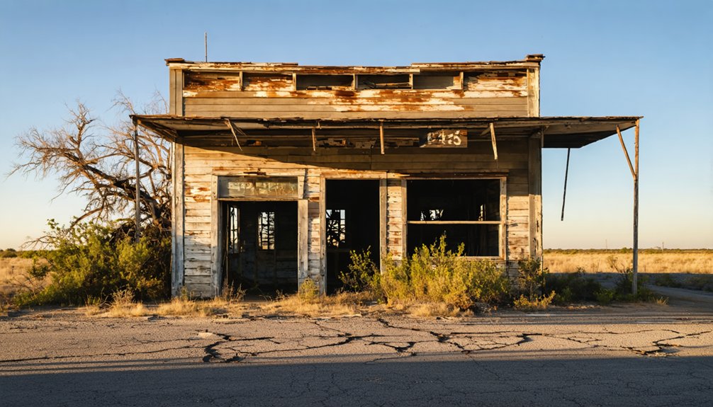
If you’re planning a ghost town road trip in Texas, Calliham is unlike anything else on your list. It didn’t fade away — the U.S. Army Corps of Engineers seized it, evicted its residents, and deliberately submerged it beneath Choke Canyon Reservoir. Today, it sits in McMullen County within Choke Canyon State Park, accessible by most vehicles via State Road 72. The history here runs deeper than the waterline, and there’s far more to this story than meets the eye.
Key Takeaways
- Calliham, Texas, located in McMullen County along State Road 72, is accessible by 2WD vehicles within Choke Canyon State Park.
- The town was submerged beneath Choke Canyon Reservoir after the U.S. Army Corps of Engineers seized and flooded it in the 1970s.
- Visit during winter, spring, or fall to avoid extreme summer heat and enjoy comfortable exploration conditions.
- Activities include fishing, birdwatching over 300 species, hiking, camping, and searching for remnants of the sunken ghost town.
- Respect park regulations protecting artifacts, carry cash, ensure vehicle reliability, and research local legends before visiting.
Why Calliham, Texas Is One of Texas’s Strangest Ghost Towns
Most ghost towns fade away from economic collapse or population decline, but Calliham, Texas met a far stranger fate — the U.S. Army Corps of Engineers deliberately created this ghost town.
Most ghost towns die slowly — Calliham, Texas was deliberately drowned by the U.S. Army Corps of Engineers.
In the 1970s, the Corps purchased the entire town through eminent domain, evicted its residents, and built Choke Canyon Dam, submerging the community beneath a reservoir. No historical artifacts survived the flooding — everything went underwater when the reservoir reached full capacity.
What makes Calliham truly strange is its intentional erasure. Local legends trace the town’s roots back to J. T. Calliham’s 1918 ranch store and a 1922 oil discovery that sparked a boomtown.
Today, the area sits within Choke Canyon State Park, where you can walk ground that once housed an entire displaced community.
From Oil Boomtown to Abandoned: Calliham’s Rise and Fall
When you trace Calliham’s origins, you’ll find a story that moves fast — from a rancher’s water well in 1908 to a full-blown oil boomtown by 1922.
J. T. Calliham built a store on his ranch in 1918, and just four years later, a test well struck rich oil, drawing the crowds and chaos that define every Texas oil rush.
What the boom built, though, the U.S. Army Corps of Engineers ultimately erased, purchasing the entire town through eminent domain in the 1970s to make way for Choke Canyon Dam.
Early Settlement And Discovery
The story of Calliham begins long before the town itself existed. After the Civil War, independent ranchers staked their claims in the surrounding land, building lives far from government control.
Then in 1908, rancher Charles Byrne drilled a water well in Frio Valley and struck something unexpected — high-pressure natural gas.
Local legends say the discovery changed everything. By 1917, an exploratory well on the J.T. Brown ranch blew in with sixty-two million cubic feet of gas, signaling that something big lay beneath the earth.
Historical artifacts from this era hint at the excitement that gripped the region.
A year later, J.T. Calliham built a store on his ranch, establishing the town that would bear his name — and setting the stage for an oil boom nobody could’ve predicted.
Oil Boom’s Rapid Growth
Four years after J.T. Calliham built his store in 1918, a test well struck rich oil on his ranch in 1922, transforming the quiet settlement into a full-blown boomtown overnight. You can almost imagine the chaos — derricks rising across land once defined by historical land grants and deep ranching traditions, as fortune-seekers flooded into McMullen County chasing black gold.
The discovery shattered the area’s peaceful rhythm, replacing cattle drives with oil rigs and open range with industrial activity. Workers, merchants, and opportunists poured in, rapidly expanding what had been a modest rural community.
Calliham’s identity shifted dramatically from a ranching outpost to a thriving oil town. But boomtowns rarely last — and Calliham’s explosive growth ultimately set the stage for its equally dramatic abandonment.
Government Takeover And Abandonment
Decades after the oil boom reshaped Calliham, the U.S. Army Corps of Engineers seized the entire town through eminent domain, forcing every resident out. No negotiation. No choice. The Choke Canyon Dam‘s reservoir would swallow everything under five feet of water, deliberately erasing a living community.
Today, urban legends and haunted sites fuel curiosity about what lies beneath.
Here’s what happened to the people and place you would’ve called home:
- Residents were forcibly evicted with no option to stay
- The Corps purchased every property, stripping ownership rights
- An entire community vanished by government design
- Choke Canyon State Park now covers the submerged town
- The remains of Calliham are largely unknown, buried and forgotten
Freedom, it turns out, wasn’t guaranteed here.
How the Choke Canyon Dam Erased an Entire Town
When Choke Canyon Dam’s construction began in the 1970s, the U.S. Army Corps of Engineers didn’t just build around Calliham — they bought it outright through eminent domain, forcing every last resident to pack up and leave.
The Corps evicted the townspeople with cold practicality, knowing the rising reservoir would eventually swallow the land under five feet of water.
What was once a scrappy oil boomtown became, quite literally, an intentional ghost town — erased not by neglect or economic decline, but by deliberate government action.
Corps Acquires the Town
By the 1970s, Calliham’s days were numbered. The U.S. Army Corps of Engineers invoked eminent domain, stripping residents of their historical preservation rights and erasing the town’s cultural significance forever. They purchased everything — homes, businesses, memories — then evicted every last resident.
Why? Simple. You can’t live under five feet of water.
Here’s what the Corps took from Calliham’s people:
- Their homes and personal property
- Their community and neighborhood connections
- Their freedom to stay on land they loved
- Their town’s historical preservation legacy
- Their right to say no
The reservoir’s rising waters swallowed what remained. The Corps didn’t accidentally create this ghost town — they did it deliberately, with full governmental authority. Calliham vanished beneath Choke Canyon’s waters, erased by institutional power and engineering progress.
Residents Forcibly Evicted
The evictions hit hard and fast. The U.S. Army Corps of Engineers didn’t negotiate — they exercised eminent domain and forced every resident out. You can imagine the gut punch of losing your home not to financial ruin, but to government authority. Families who’d built lives in Calliham had no choice but to pack up and leave.
Local legends say residents fought back, but the Corps held all the legal power. Once the Choke Canyon Reservoir reached full capacity, five feet of water would swallow everything. There was no compromise, no alternatives offered.
Today, you’re visiting a place where abandoned structures once housed a thriving community. The Corps didn’t just build a dam — they deliberately erased an entire town, leaving only silence beneath the water.
Reservoir Floods Calliham
Once the Choke Canyon Dam was complete, the reservoir did exactly what it was designed to do — it rose, crept across the land, and swallowed Calliham whole. The government didn’t just evict residents; it erased their entire world beneath five feet of water.
What the reservoir consumed forever:
- Historical artifacts tied to the 1922 oil boom
- Local legends passed down through ranching families
- Homes where generations built their lives
- Streets once bustling with boomtown energy
- A community’s identity, submerged without consent
You can’t reclaim what’s underwater. The Corps of Engineers made certain of that.
When you visit Choke Canyon State Park today, you’re standing above a ghost town that didn’t fade — it was deliberately drowned by the same government meant to serve its people.
What’s Left of Calliham After the Reservoir Took Over
When Choke Canyon Reservoir reached full capacity, it swallowed Calliham whole — and what’s left today remains largely a mystery. No confirmed reports document surviving town ruins or accessible historical artifacts above the waterline. The U.S. Army Corps of Engineers didn’t just displace residents — they erased an entire community with purpose and finality.
What you’ll find today is Choke Canyon State Park surrounding the area, offering fishing, camping, and wildlife watching where a thriving oil town once stood. The reservoir now dominates the landscape, concealing whatever structural remains lie beneath its surface.
If you’re drawn to places where history disappears into water and silence, Calliham delivers that haunting experience. You’re not visiting ruins — you’re standing over them.
Where Calliham Is Located and How to Get There
Tucked into McMullen County, Texas, Calliham sits along State Road 72 — your primary route into what’s now Choke Canyon State Park. You’ll only need a 2WD vehicle to reach this forgotten place, making it accessible for almost any road tripper craving open land and untold stories.
Plan your visit during winter, spring, or fall to avoid brutal summer heat while exploring local wildlife and historical landmarks scattered across the landscape.
- Feel the weight of history beneath your boots on roads once filled with oil workers
- Spot deer, wild turkey, and native birds roaming freely where a boomtown once stood
- Trace the shoreline where homes disappeared under rising water
- Breathe in the quiet that only abandoned places offer
- Reclaim your sense of wonder mile by mile
Best Time of Year to Visit Calliham, Texas
Timing your visit to Calliham makes all the difference between an unforgettable road trip and a miserable slog through South Texas heat. Skip summer entirely — the brutal temperatures will drain your energy before you’ve had a chance to explore what remains of this sunken boomtown.
Winter, spring, and fall are your best windows. Cooler temperatures let you wander freely, soaking in the eerie atmosphere and hunting for traces of historical architecture still visible around Choke Canyon State Park. You’ll want clear skies and comfortable weather when you’re chasing local legends about oil wildcatters and displaced residents.
Spring offers wildflowers alongside your ghost town adventure, while fall delivers crisp air perfect for photography. Plan accordingly, and Calliham rewards your curiosity without punishing your body.
What to Do at Choke Canyon State Park While You’re There
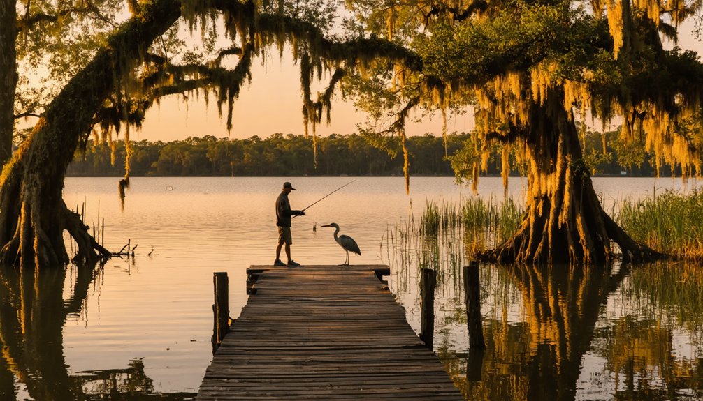
Choke Canyon State Park surrounds the ghost town’s watery grave and gives you plenty to do beyond hunting for historical remnants. Whether you’re chasing local legends or soaking in raw Texas wilderness, the park delivers on all fronts.
- Cast a line into Choke Canyon Reservoir, where bass fishing ranks among Texas’s finest.
- Spot over 300 bird species along the shoreline trails, including the rare Ferruginous Pygmy-Owl.
- Hike rugged brush country trails that whisper stories of the ranchers who once roamed free here.
- Camp under sprawling Texas skies and feel the same solitude Calliham’s settlers once knew.
- Search the park’s edges for historical artifacts and echoes of a town the government erased.
Other Ghost Towns Near Calliham Worth Adding to Your Route
While Calliham makes a compelling anchor for your road trip, McMullen County and the surrounding South Texas brush country hide other ghost towns worth looping into your route. Choke Canyon’s reservoir swallowed more than one community, and the region’s boom-and-bust oil history left scattered settlements fading back into the mesquite.
You’ll find historical artifacts tucked along back roads — crumbling foundations, rusted equipment, and abandoned structures that speak louder than any museum exhibit. Local legends follow you through these areas, stories of wildcatters, ranchers, and families who built lives the land eventually reclaimed.
Load your map with flexible stops, keep a 2WD-accessible route, and give yourself time to wander. South Texas rewards the curious traveler who isn’t afraid to leave the main highway behind.
What to Know Before Driving Out to a Texas Ghost Town
Before you point your truck toward McMullen County, a few practical realities will shape your experience. Calliham sits within Choke Canyon State Park, so expect park regulations governing historical artifacts — you look, but you don’t take.
- Bring cash; rural McMullen County has limited services
- Drive a reliable 2WD vehicle — roads are accessible but unforgiving in wet weather
- Visit during winter, spring, or fall to avoid brutal summer heat
- Research local legends beforehand so the landscape speaks to you rather than past you
- Respect the land — families were forcibly evicted here, and that grief still lingers
The Corps didn’t just flood a town; they erased lives. Arriving informed means you’ll feel the weight of Calliham’s story rather than simply passing through it.
Frequently Asked Questions
Who Submitted the Historical Record Documenting Calliham’s Origin Story?
Henry Chenoweth submitted the historical record preserving Calliham’s ghost town legends for historical preservation. You’ll appreciate how his documentation keeps this fascinating Texas origin story alive, fueling your spirit of freedom and exploration.
What Was Charles Byrne Originally Drilling for in Frio Valley?
When you explore ghost town architecture and historic drilling techniques, you’ll discover Charles Byrne originally drilled for water in Frio Valley in 1908 — but he struck high-pressure natural gas instead, changing Calliham’s destiny forever.
How Many Cubic Feet of Gas Did the J. T. Brown Well Produce?
You’ll be amazed that the J. T. Brown well’s gas production estimates reached a staggering sixty-two million cubic feet in 1917, making it a remarkable chapter in Oil well history that shaped Calliham’s future.
What Was the Name of J. T. Calliham’s Original Store on His Ranch?
You’ll love knowing that J. T. Calliham named his original store simply “Calliham’s,” a cornerstone of ranching legacy that sparked ghost town history when oil transformed this humble 1918 ranch store into a booming frontier settlement.
Did Ranchers Settle Near Calliham Before or After the Civil War?
Like pioneers chasing a horizon, ranchers’ migration brought early settlement patterns to the Calliham area after the Civil War, meaning you’d have found cattlemen roaming these Texas lands well before the town officially formed in 1918.
References
* https://www.ghosttowns.com/states/tx/calliham.html



