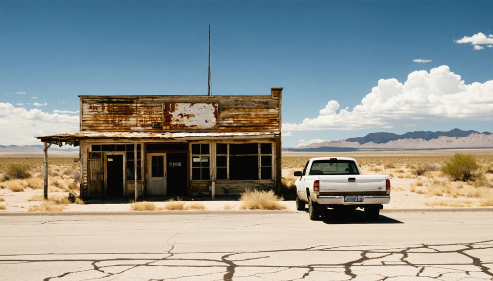
Start your ghost town road trip in Van Horn, then head north on TX-54 to US 62/180 toward Pine Springs — a near-abandoned community of just 20 residents sitting at 5,730 feet on the edge of Guadalupe Mountains National Park. You’ll camp under desert skies, hike to Texas’ highest peak, and spot mule deer along ancient trails. Stick around, and you’ll uncover everything you need to plan this unforgettable Far West Texas adventure.
Key Takeaways
- Pine Springs, an unincorporated West Texas community near Guadalupe Mountains National Park, has a ghost-town atmosphere with only 20 residents recorded in 2000.
- Access Pine Springs via Interstate 10 north through Van Horn, connecting to TX-54, then merging onto US 62/180 east toward the Guadalupe Mountains.
- Pine Springs Campground sits at 5,730 feet elevation, costing $15–20 per night and accommodating both tent and RV campers.
- Hike the Guadalupe Peak Trail or El Capitan Trail to experience panoramic desert views, dramatic cliffs, and local wildlife like mule deer and hawks.
- A two-day itinerary starting in Van Horn allows time for roadside history, trail exploration, and a scenic drive toward the New Mexico border.
Pine Springs: Tiny West Texas Community and National Park Gateway
Though it barely registers on most maps, Pine Springs is a tiny unincorporated community in northern Culberson County that punches well above its weight as a travel destination. Sitting at the crossroads of U.S. Routes 62 and 180 in far West Texas, it recorded just 20 residents in 2000, giving it that ghost-town atmosphere you’re chasing.
Don’t expect local cuisine or historical landmarks anchoring a town square — Pine Springs skips all that in favor of something rawer. It’s your primary gateway into Guadalupe Mountains National Park, positioned about 60 miles north of Van Horn and just three miles northwest of Guadalupe Peak.
If you crave open desert highways, mountain scenery, and genuine remoteness, you’ve found your launching pad.
Reaching Pine Springs via US 62/180 and Van Horn
Getting to Pine Springs means committing to the kind of long, open-road driving that makes West Texas road trips worth planning. From Interstate 10, head north through Van Horn, then connect to TX-54 before merging onto US 62/180 heading east toward the Guadalupe Mountains.
Getting to Pine Springs means committing — long open roads, high desert solitude, and a drive worth every mile.
You’ll cover roughly 60 miles of high desert terrain before reaching Pine Springs.
That stretch of US 62/180 tells its own story. Local history surfaces in scattered settlements and roadside markers that feed the ghost town myths surrounding this corner of far West Texas. Salt Flat appears along the way as a quiet landmark before the mountains rise into view.
Keep your tank full and your map handy — services are sparse, and that isolation is exactly the point.
Pine Springs Campground Rates, Elevation, and What to Expect
Once you arrive at Pine Springs, the campground puts you right in the heart of Guadalupe Mountains National Park at an elevation of about 5,730 feet — high enough to make summer nights noticeably cooler than the desert floor below.
You’ll pay roughly $15–20 per night on a first-come, first-served basis, so arriving early gives you the best pick of sites. Both tent and RV campers are welcome here.
You’re within easy reach of historical landmarks like the old Butterfield Stage route, and local wildlife — mule deer, hawks, and the occasional ringtail — moves through camp regularly.
The Pine Springs Visitor Center sits close by, making it simple to grab trail maps and plan your next move across this rugged, wide-open landscape.
Top Trails and Road Stops Near Pine Springs on US 62/180
Whether you’re chasing summit views or just stretching your legs between long desert drives, the trails and road stops near Pine Springs deliver on both fronts. Guadalupe Peak Trail climbs roughly 3 miles southeast of Pine Springs to the highest point in Texas, rewarding your effort with sweeping Chihuahuan Desert panoramas. Along the way, you’ll spot local wildlife including mule deer, hawks, and the occasional mountain lion track.
El Capitan Trail offers a flatter alternative with dramatic cliff views and access to historic landmarks tied to the Butterfield Overland Mail route. Back on US 62/180, pull over at the Texas rest area near the New Mexico state line for a quick reset. Each stop adds real texture to your West Texas road experience.
A Two-Day Pine Springs Road Trip Through Far West Texas
Two days in far West Texas gives you just enough time to feel the scale of this landscape without rushing past what makes it worth the drive. Start in Van Horn, picking up local history at roadside markers before heading north on TX-54 to US 62/180.
Two days in far West Texas — just enough time to feel the scale without rushing past it.
Arrive at Pine Springs before dark and claim your campsite.
On day two, hit the trails early when wildlife sightings are most likely — mule deer and hawks move through the desert before midday heat sets in.
Explore the visitor center, then drive the US 62/180 corridor east toward the New Mexico line.
The open highway, quiet desert, and fading settlements give you exactly the kind of untethered, wide-open experience that makes this corner of Texas worth seeking out.
Frequently Asked Questions
Is Pine Springs in Mountain Time or Central Time Zone?
You’re in Mountain Time when you hit Pine Springs! As you cross time zone boundaries heading west through far West Texas, make your local clock changes — you’ll gain an extra hour of adventure.
Are Pets Allowed at Pine Springs Campground Within the National Park?
Like a leashed wanderer roaming wild lands, your pet’s welcome at Pine Springs Campground! Pet friendly policies and camping regulations require leashes at all times — you’ll keep your furry co-pilot close on this desert adventure.
What Is the Closest Gas Station to Pine Springs on US 62/180?
You’ll find gas station options in Salt Flat or Van Horn along US 62/180. Don’t skip these road trip essentials—fuel up before heading into the remote desert stretch near Pine Springs, as services are scarce.
Does Pine Springs Campground Require Reservations or Is It First Come?
Ironically, unlike historic ghost towns where you’d claim any abandoned spot freely, Pine Springs Campground runs first come, first served — so you’ll snag scenic mountain views for just $15–20 nightly without needing reservations.
Are There Cell Phone Signal or Wi-Fi Options Near Pine Springs?
Don’t count on strong cell service updates out here — Pine Springs is gloriously remote. Wi-Fi availability is virtually nonexistent, so download your maps, playlists, and park info before you arrive and embrace the disconnect.
References
- https://en.wikipedia.org/wiki/Pine_Springs
- https://www.texasescapes.com/CentralTexasTownsSouth/Oso-Texas.htm
- https://en-gb.topographic-map.com/map-m15q14/Pine-Springs/
- https://texas.hometownlocator.com/maps/feature-map
- https://www.mapquest.com/us/texas/pine-springs-tx-282912651
- https://maps.apple.com/place?auid=4497088759531916395
- https://www.tshaonline.org/handbook/entries/pine-springs-tx-culberson-county
- https://thedyrt.com/camping/texas/texas-pine-springs
- https://www.txdot.gov/discover/rest-areas-travel-information-centers/safety-rest-area-list/culberson-pine-springs.html
- https://atlas.thc.texas.gov/Details/5225012086



