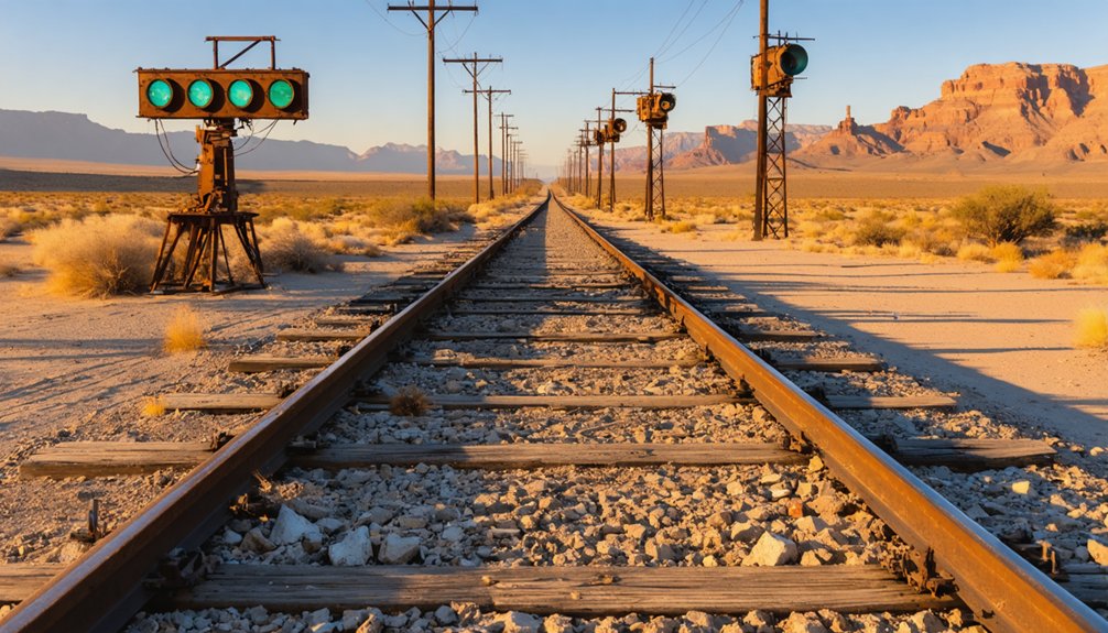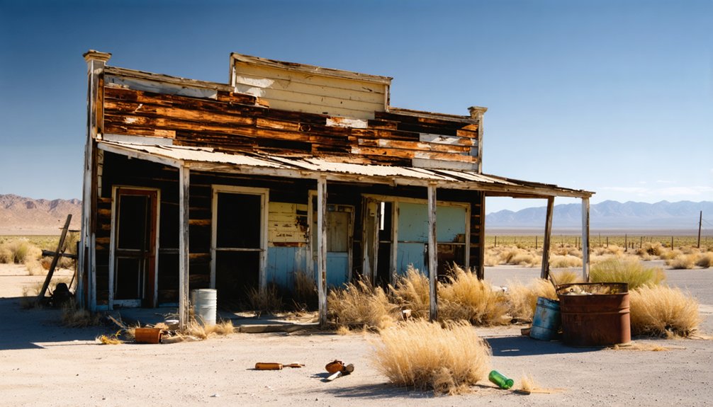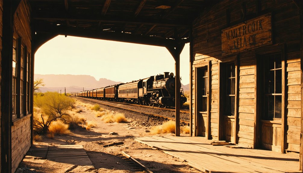
Planning a ghost town road trip to Socatoon Station puts you on the trail of the legendary Butterfield Overland Mail route, which operated from 1858 to 1861 across nearly 2,800 miles of rugged Southwest terrain. You’ll find the site four miles east of Sacaton, about 40 miles southeast of Phoenix on sovereign Gila River Indian Community land. No structures remain, so preparation and respect are essential before you go. There’s far more to this forgotten desert stop than meets the eye.
Key Takeaways
- Socatoon Station, located four miles east of Sacaton, Arizona, operated from 1858 to 1861 as part of the Butterfield Overland Mail route.
- No standing structures remain at the site, offering a raw, open-ground experience where mail riders once traveled across the desert.
- The site sits within sovereign Gila River Indian Community land, requiring permits and tribal permission before visiting.
- Access the site via I-10 southeast of Phoenix near Sacaton, then follow local roads approximately four miles east into desert terrain.
- Carry ample water, fuel up beforehand, and verify road conditions, as rural desert roads can change quickly after rains.
What Was Socatoon Station, Arizona?
Before Arizona had highways or railroad depots, it had mail stations — and Socatoon Station was one of them. Operating between 1858 and 1861, it served the Butterfield Overland Mail route, moving correspondence and passengers across the rugged Southwest before the Civil War disrupted everything.
Before highways or railroads, mail stations like Socatoon kept the Southwest connected — until the Civil War ended everything.
The station took its name from the nearby Maricopa village of Sacaton, sometimes spelled Socatoon, sitting four miles to the west on what’s now the Gila River Indian Community.
Local legends connect the site to frontier travel, Indigenous settlement patterns, and a vanishing way of life few records preserved.
You won’t find intact buildings waiting for you here. Preservation challenges have left little visible trace, making research and preparation essential before you add this stop to your road trip itinerary.
The Butterfield Overland Mail Route Behind the Stop
When you trace Socatoon Station’s origins, you quickly land on the Butterfield Overland Mail, the ambitious pre-Civil War mail and passenger line that connected St. Louis to San Francisco starting in 1858.
The route carried coaches, mail, and travelers across some of the harshest desert terrain in the American Southwest, with stations like Socatoon serving as critical rest and relay points along the way.
The Civil War ultimately forced the route’s abandonment in 1861, but the corridor left a lasting imprint on how frontier settlements, transportation networks, and Indigenous place names became permanently woven into Arizona’s geography.
Butterfield Route Historical Origins
Though it lasted only three years, the Butterfield Overland Mail route reshaped how people and correspondence moved across the American Southwest. Launched in 1858, it connected St. Louis to San Francisco across nearly 2,800 miles of desert, mountain, and frontier terrain. You’re looking at a line that carried mail, passengers, and ambition through land most Americans had never seen.
The route passed through Indigenous territories, linking settlements that already had deep histories long before stagecoaches arrived. Socatoon Station drew its name from the nearby Maricopa village of Sacaton, a detail that matters for cultural preservation as modern tourism rediscovers these corridors.
When you trace this route today, you’re not just chasing ruins — you’re following a thread that once stitched a nation together.
Mail And Passenger Service
Twice a week, a Butterfield stagecoach rolled through stations like Socatoon carrying both mail pouches and paying passengers across nearly 2,800 miles of rough terrain. You’re looking at a route that connected Missouri to San Francisco in roughly 25 days, a feat that reshaped how Americans communicated and traveled before the Civil War ended operations in 1861.
The cultural significance here runs deep. Socatoon Station sat within a landscape shaped by Maricopa and Pima communities, meaning the mail corridor intersected Indigenous territory rather than bypassing it. That context matters when you visit today.
Preservation challenges make physical evidence scarce, so don’t expect standing structures. Instead, bring historical maps, research the Butterfield corridor beforehand, and let the landscape itself tell the story of what once moved through here.
Route Abandonment And Legacy
The Civil War shut down the Butterfield Overland Mail in 1861, pulling the route’s southern arc—including Socatoon Station—off the map almost overnight. What remained wasn’t ruins or a preserved corridor but silence, reclaimed quickly by the desert.
Railway history soon reshaped western travel entirely, making wagon-road stations like this one obsolete before anyone thought to document them carefully. You’ll find no grand memorial here, just a place where frontier infrastructure once intersected with Indigenous settlements that had existed long before any mail contract was signed.
Sacaton’s Maricopa community outlasted the route that borrowed its name. That’s the legacy worth carrying with you—not the collapse of a commercial operation, but the deeper continuity of the land and the people who never left.
Socatoon Station vs. Sacaton Village: Two Different Places
When you start researching this stop, you’ll quickly notice that Socatoon Station and the village of Sacaton are two distinct places — the station sat four miles east of the village itself.
The station’s name came from a frontier spelling variation of “Sacaton,” a Maricopa settlement that gave the surrounding area its identity during the 1857 Chapman Census period.
Keeping that distinction clear saves you from planning your route to the wrong location and helps you understand why the station’s name looks like a misspelling rather than an error.
Station Versus Village Location
Many travelers assume Socatoon Station and the village of Sacaton occupy the same spot on the map, but they’re actually four miles apart. The station sat four miles east of Sacaton, positioned to serve the Butterfield Overland Mail route rather than the Maricopa village itself. Think of it like railroad history, where depots often landed outside town centers for operational reasons rather than community convenience.
Sacaton was a living Indigenous settlement with its own identity. Socatoon Station borrowed that name for frontier recognition, much like mining towns borrowed regional landmarks for branding.
When you’re planning your route, don’t navigate straight to Sacaton and expect to stand at the station site. Verify the eastern offset before you drive, or you’ll miss the actual historical footprint entirely.
Origins Of Each Name
Both names trace to the same root, but they diverged through frontier practicality rather than shared identity. The Maricopa people established Sacaton as a living village shaped by Indigenous influence and historical trade along the Gila River corridor.
Travelers and mail contractors simply borrowed that name when they built their station four miles east, slightly altering the spelling to Socatoon.
You’re looking at two distinct places that share a linguistic ancestor. Sacaton reflects the Indigenous community that predated American expansion.
Socatoon reflects how frontier operators adapted local names for operational convenience, often without precision or permission. Understanding this split helps you read the landscape accurately.
When you visit the area, you’ll recognize that one name honors a people, while the other marks a postal function.
Avoiding Common Naming Confusion
That naming split creates a real problem once you start planning your route. Socatoon Station and Sacaton Village aren’t interchangeable—they’re two distinct places separated by four miles.
The station borrowed its name from the village through a spelling shift, a pattern common along frontier routes where Indigenous influence shaped what travelers called their surroundings.
If you search for Sacaton today, you’ll find an active community within the Gila River Indian Community, not a ghost town. The station, by contrast, was a Butterfield Overland Mail stop tied to historical trade and passenger movement across the Southwest.
Conflating the two sends you to the wrong location entirely. Before you load your route, confirm you’re targeting the station site east of the village, not the village itself.
Visiting Tribal Land: What You Need to Know First
Before you set out to find Socatoon Station, you need to understand that the site sits within the Gila River Indian Community, a sovereign tribal nation with its own jurisdiction and access rules. You can’t treat this stop like a roadside ruin on public land.
Socatoon Station sits within a sovereign tribal nation — this isn’t public land, and the rules are different.
Land access regulations here differ from standard Arizona state or federal land policies. You’ll want to contact the Gila River Indian Community directly before your visit to confirm what’s permitted, where you can travel, and whether a visitor permit is required.
Cultural sensitivities also matter. This isn’t just abandoned infrastructure — it’s land with living heritage. Respect posted boundaries, avoid photographing people or ceremonial areas without permission, and follow all posted guidelines.
Getting this right means you’re traveling responsibly and preserving access for future visitors.
What’s Actually Left at Socatoon Station Today
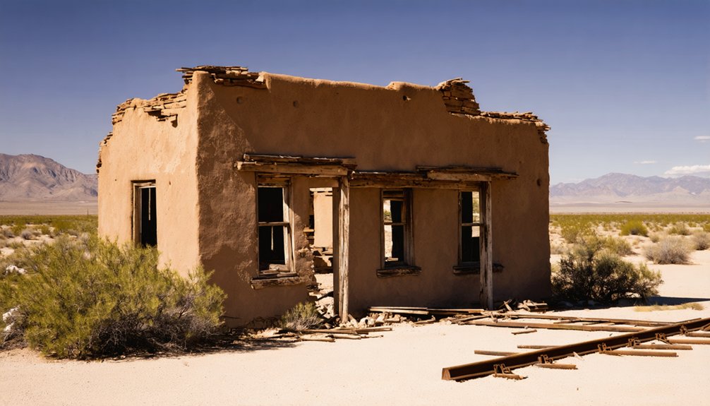
What you’ll find at Socatoon Station today is closer to a historical footprint than a standing structure. The site doesn’t offer restored buildings or marked trails — it’s raw history on open ground. No grand ruins greet you, but that absence tells its own story about how quickly frontier infrastructure vanished once the Butterfield Overland Mail route shut down.
Historical artifacts tied directly to the station are scarce, and formal preservation efforts here remain minimal compared to more prominent Arizona ghost towns.
What draws independent travelers is the freedom to stand on ground where 1850s mail riders passed through, connecting a young nation across difficult terrain.
Pair your visit with solid research beforehand, and you’ll leave with far more than you’d expect from an unmarked stretch of central Arizona desert.
How to Reach Socatoon Station From Central Arizona
Reaching Socatoon Station means steering toward the Sacaton area within the Gila River Indian Community, roughly 40 miles southeast of Phoenix along the I-10 corridor. Exit near Sacaton and follow local roads east, keeping in mind that the station once sat four miles beyond the village itself.
Sacaton marks your landmark—exit I-10, then push four miles east into the quiet desert beyond.
You’re traveling through tribal land, so respect posted boundaries and check access rules before you go. The Gila River Indian Community takes cultural preservation seriously, and your visit carries more weight when you approach it responsibly.
Locals hold onto stories and local legends tied to this corridor, so a stop in Sacaton itself can fill in gaps no map provides.
Verify road conditions beforehand, since rural stretches here can shift quickly after desert rain.
Other Stops to Pair With Socatoon Station on a Ghost-Town Route
Once you’ve mapped your path to Socatoon Station, it makes sense to stretch the drive into a fuller ghost-town circuit across central and southern Arizona. The region offers former mining boomtowns, abandoned supply points, and mill ruins scattered across landscapes rich with local flora like saguaro and palo verde.
You’ll spot desert wildlife between stops, from roadrunners darting across open stretches to hawks circling above dry washes.
Pair Socatoon Station with paved-access sites for easier crossings, then work unpaved or high-clearance destinations into separate legs.
Southern Arizona ghost towns tied to silver and copper booms complement Socatoon Station’s Butterfield Overland Mail story, giving your route historical range.
Plan shorter driving legs so you have time to actually explore each stop rather than just pass through.
Desert Roads, Heat, and Services Near Socatoon Station
Driving out to Socatoon Station means trading convenience for context, so you’ll want to prepare before you leave cell service behind. Central Arizona’s desert roads can shift from firm pavement to rough, unpaved stretches without warning, especially after monsoon rains soften the ground.
Summer heat regularly exceeds 110°F, so carry more water than you think you’ll need. Fuel up in Sacaton or Casa Grande before heading toward the site, since services thin out quickly.
Watch for wildlife encounters along rural corridors — javelinas, coyotes, and rattlesnakes move freely through the desert flora of saguaro, palo verde, and brittlebush that lines these back roads.
Respect tribal land boundaries, follow posted rules, and tell someone your route before you go. Preparation keeps the adventure yours to control.
Frequently Asked Questions
Was Socatoon Station Ever a Permanent Settlement With Year-Round Residents?
No, Socatoon Station wasn’t a permanent settlement. It served as a Butterfield mail stop, not a residential community. You’ll find its historical architecture tied to Native American involvement through the nearby Sacaton Maricopa village, not year-round settlers.
How Did the Civil War Affect the Butterfield Overland Mail Route Closure?
Like a severed lifeline, the Civil War impacts hit hard — Confederate forces disrupted the southern corridor, forcing mail route disruption in 1861. You’d lose your connection west as operations collapsed almost overnight.
Are There Any Photographs or Drawings of Socatoon Station From the 1800S?
You won’t find confirmed historical photography or 1800s drawings of Socatoon Station, as frontier mail stops rarely attracted documentarians. Sketch records from the Butterfield era occasionally survived, so exploring archive collections could reward your search.
What Other Butterfield Stations in Arizona Share Similar Abandonment Histories?
Like scattered bones across the desert, several Abandoned Stations along the Butterfield Route share Socatoon’s fate — you’ll find Stanwix, Oatman Flat, and Maricopa Wells all swallowed by time after the Civil War halted operations.
Did the Maricopa People Have Any Role in Operating Socatoon Station?
You won’t find documented evidence of direct Maricopa craftsmanship shaping Socatoon operations, but their nearby village presence deeply influenced the station’s identity, as Butterfield operators relied on Indigenous geographic knowledge throughout Arizona’s frontier corridors.
References
- https://en.wikipedia.org/wiki/List_of_ghost_towns_in_Arizona
- https://en.wikipedia.org/wiki/Sacaton_(village)
- https://www.arizonahighways.com/article/arizona-ghost-towns
- https://www.reddit.com/r/phoenix/comments/iyfan9/best_ghost_towns_in_aznear_phoenix/
- https://soazghosttown.com/