Tehachapi’s your ideal base camp for ghost town exploration, sitting at nearly 4,000 feet between the San Joaquin Valley and Mojave Desert. Within an hour’s drive, you’ll uncover haunting remnants at Caliente, Garlock, and the silver-rich Cerro Gordo. Spring and fall offer the best conditions, while summer heat can make lower elevations brutal. Check road conditions before heading out, since dirt roads wash out and some sites demand high-clearance vehicles. There’s much more to uncover ahead.
Key Takeaways
- Tehachapi, located at nearly 4,000 feet, serves as an ideal base for exploring Kern County ghost towns within an hour’s drive.
- Caliente, a California Historical Landmark, sits 2.3 miles north of Highway 58 and features scattered mining artifacts from the 1870s.
- Garlock, roughly 45 minutes away, offers weathered mining structures and requires high-clearance vehicles for safe navigation.
- Cerro Gordo, nestled in the Inyo Mountains, preserves original silver and gold mining structures, requiring sturdy shoes and two hours minimum.
- Spring and fall offer the best visiting conditions, with mild temperatures, wildflowers, and fewer crowds than summer or winter.
Why Tehachapi Is the Perfect Ghost Town Base Camp
Tucked between the San Joaquin Valley and the Mojave Desert at nearly 4,000 feet, Tehachapi puts you within striking distance of some of Kern County’s most fascinating ghost towns.
The city’s Tehachapi history runs deep, rooted in a mining legacy that shaped the entire region during the 1870s. You’ll find that ghost town culture thrives here, where abandoned camps and crumbling depots tell stories that textbooks often skip.
The scenic views across the Tehachapi Mountains add raw, unfiltered beauty to every drive. Local legends about silver strikes, railroad gamblers, and vanished settlements give the area an unmistakable edge.
Whether you’re chasing history or simply craving open road freedom, Tehachapi delivers a launchpad that’s hard to beat for any serious ghost town explorer.
Ghost Towns You Can Reach From Tehachapi in Under an Hour
Within an hour’s drive of Tehachapi, you’ll find some of California’s most fascinating ghost towns waiting to be explored.
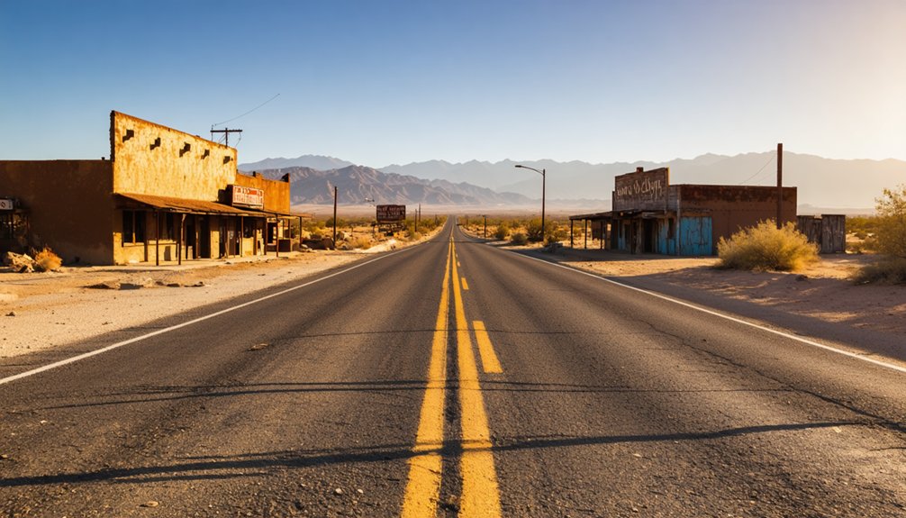
Caliente, a California Historical Landmark (#757) founded in the 1870s, sits just 2.3 miles north of Highway 58 and offers a glimpse into the region’s silver, gold, and lead mining past.
Push a little further and you can reach Garlock’s copper and gold mining ruins in Kern County or make the trek to Cerro Gordo’s legendary silver mines, where 1870s extraction operations once drove California’s economy.
Caliente Historical Mining Camp
Just 2.3 miles north of Highway 58, Caliente stands as one of the most accessible ghost towns you’ll find near Tehachapi.
Caliente history stretches back to the 1870s, when miners used rugged extraction techniques to pull silver, gold, and lead from the surrounding hills.
As you explore this California Historical Landmark number 757, you’ll discover mining artifacts scattered across the landscape, each telling stories of ambition and hardship.
Local legends speak of fortunes made and lost overnight, adding mystery to your ghost town exploration.
Bring sturdy footwear and respect preservation efforts already underway — don’t disturb remaining structures or artifacts.
Visit during daylight hours for safety.
Caliente’s historical significance makes it an essential stop, offering you an unfiltered glimpse into California’s raw, independent mining past.
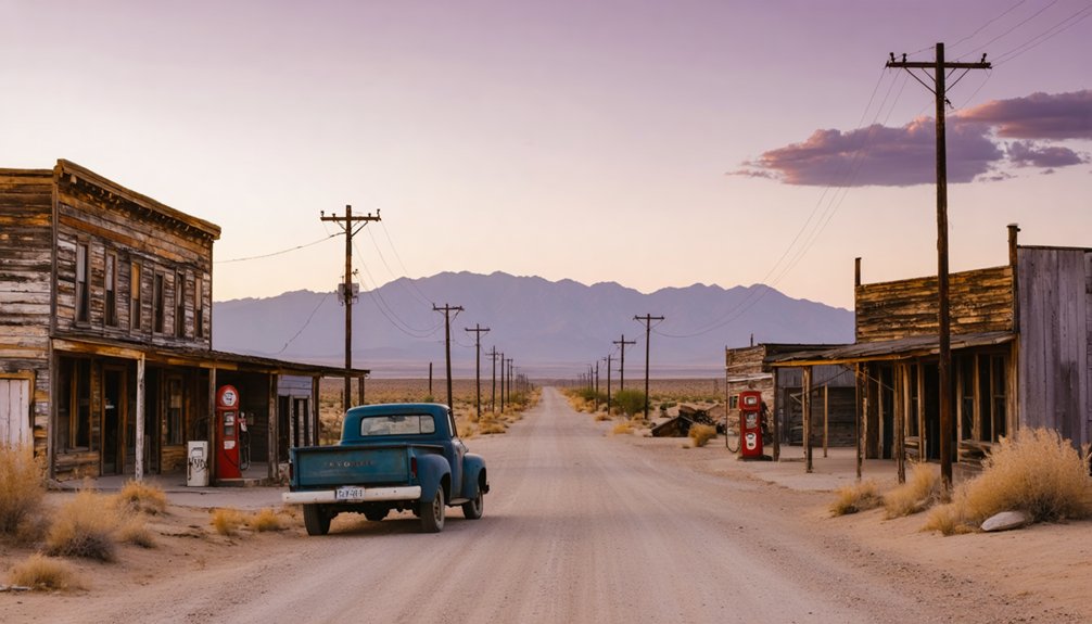
Garlock Ghost Town Nearby
Roughly 45 minutes from Tehachapi, Garlock ghost town sits quietly in Kern County, where copper and gold extraction once drove a determined mining community.
Garlock history reveals a raw, ambitious past worth exploring on your road trip.
Here’s what you’ll discover when you venture into Garlock mining territory:
- Weathered remnants of structures that once supported a thriving extraction operation
- Sweeping Kern County desert landscapes surrounding the abandoned townsite
- A tangible sense of isolation that defined daily life for miners here
- Evidence of copper and gold operations that shaped the regional economy
You’ll feel the weight of forgotten ambition as you walk the grounds.
Garlock doesn’t offer polished exhibits — it offers something better: unfiltered, open-air history you can experience entirely on your own terms.
Cerro Gordo Silver Mines
Nestled in the Inyo Mountains, Cerro Gordo draws you into one of California’s most storied silver and gold mining histories, all reachable from Tehachapi in under an hour.
This remarkable ghost town lets you walk through a mining history that shaped California’s economy during the 1870s, when miners extracted massive silver and gold deposits from these rugged hills.
You’ll find original structures still standing, offering a raw, unfiltered glimpse into the lives of those who carved wealth from the earth.
Cerro Gordo isn’t a polished tourist attraction — it’s an authentic relic where you can breathe the same desert air as the miners once did.
Pack water, wear sturdy shoes, and give yourself at least two hours to genuinely explore everything this extraordinary site offers.
What’s Left to See at Caliente Ghost Town Today?
When you pull up to Caliente, you’re standing on the grounds of California Historical Landmark number 757, a designation that confirms this former 1870s mining camp earned its place in the state’s history.
You can still spot remnants of the original mining operations that once produced silver, gold, and lead in this rugged stretch of Kern County.
Walking the site, you’ll find it’s one of those rare ghost towns where the landmark status has helped preserve enough of the story to make the trip genuinely worthwhile.
Caliente’s Historical Landmark Status
Though much of Caliente’s mining-era bustle has faded into history, the ghost town still carries an official nod to its past: it’s listed as California Historical Landmark number 757. This designation recognizes Caliente’s history and its mining significance during the 1870s.
When you visit, the landmark status gives the site a deeper sense of purpose — you’re not just wandering ruins, you’re standing inside a preserved piece of California’s story.
Here’s what the landmark status means for your visit:
- You’ll find official state recognition tied to the site
- The designation honors silver, gold, and lead extraction history
- It connects Caliente to California’s broader mining legacy
- Landmark markers help you interpret what you’re seeing on-site
Remaining Mining Camp Remnants
Scattered across the site, the remnants of Caliente’s mining-era past give you enough to work with as an amateur historian and ghost town explorer.
You’ll find crumbling stone foundations that once anchored the mining camp’s core structures, remnants of the silver and lead extraction operations that drove Caliente’s 1870s boom.
Walking the grounds, you’ll notice scattered debris fields where equipment once operated, giving you a tangible connection to the ghost town remnants that California’s historical registry thought worthy of landmark status.
The mining history here isn’t buried — it’s literally underfoot.
Bring a camera, wear sturdy boots, and take your time reading the landscape. Each weathered fragment tells part of Caliente’s story, and you’re free to piece it together at your own pace.
Garlock: Kern County’s Most Forgotten Ghost Town
Tucked away in Kern County, Garlock stands as one of California’s most overlooked ghost towns, its crumbling remnants quietly marking a once-thriving hub of copper and gold extraction.
Garlock history reveals a raw, untamed past that’s yours to explore off the beaten path. When you visit, Garlock mining’s legacy surrounds you through:
- Abandoned mine shafts cutting deep into sun-baked earth
- Weathered wooden structures reclaimed by desert brush
- Scattered equipment frozen in time from active extraction years
- Rugged terrain that demands your full attention and rewards your curiosity
You won’t find crowds or guided tours here — just open land and honest history.
Garlock’s forgotten status makes it a perfect stop for those who crave authentic, unfiltered exploration on their Tehachapi road trip.
Cerro Gordo: The Ghost Town Worth the Extra Miles
While Garlock rewards you with solitude and raw desert grit, Cerro Gordo demands a little more effort — and pays you back in full.
Perched high in the Inyo Mountains, this silver and gold mining camp roared to life in the 1870s, driving California’s early economy harder than most history books admit.
Cerro Gordo history runs deep — think collapsed tunnels, original bunkhouses, and equipment frozen in time. You’re not just passing through ruins; you’re walking through a working ghost town with stories still embedded in its walls.
Cerro Gordo accessibility requires planning. The road climbs steeply, so bring a capable vehicle and check conditions before you go.
But once you’re up there, standing above the desert floor, you’ll understand why the extra miles are absolutely worth it.
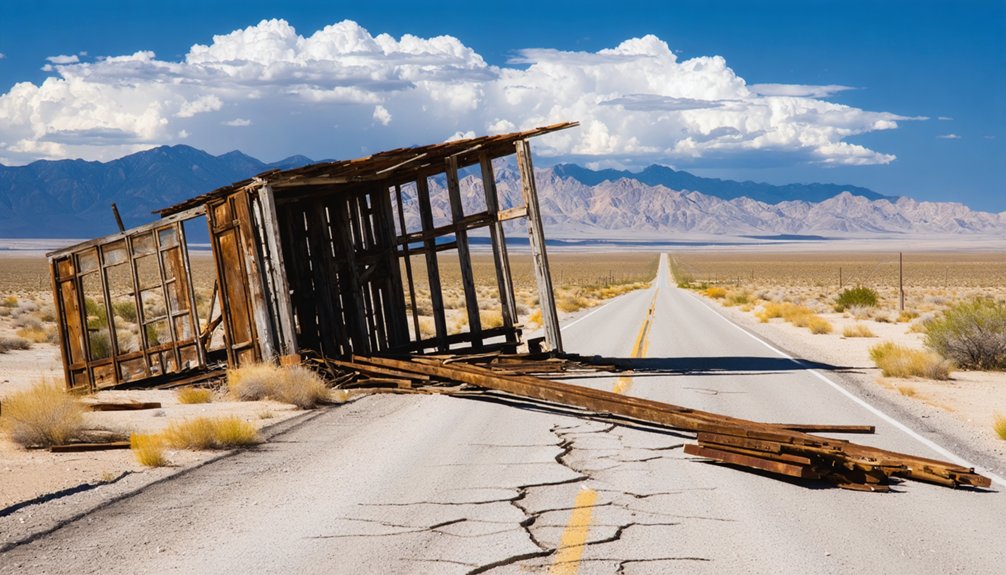
Road Conditions and Site Access Before You Go
Before you load up the car and head out toward any of these ghost towns, you’ll want to do your homework on road conditions — because some of these routes will humble even confident drivers.
Road safety isn’t optional out here; it’s survival planning. Site preparation separates a great adventure from a stranded nightmare.
Here’s what to check before you roll out:
- Caliente: Dirt access roads north of Highway 58 can wash out after rain
- Garlock: Remote Kern County terrain demands high-clearance vehicles
- Bealville: The 6.5-mile stretch west of Tehachapi Loop gets rough seasonally
- Cerro Gordo: Steep mountain grades require solid brakes and full fuel tanks
Call ahead, check current conditions online, and never assume yesterday’s report still applies.
The Scenic Drive Back: Highway 58 and the Tehachapi Loop
Once you’ve navigated the rough stuff and you’re ready to head back, Highway 58 rewards your effort with one of the more satisfying drives in Southern California.
The road cuts between the San Joaquin Valley and the Mojave Desert, giving you two completely different worlds on either side of the windshield.
Don’t rush it. Pull over at the scenic viewpoints along the way and take in the Tehachapi scenery stretching across the mountains.
Then make time for the Tehachapi Loop, located 3.2 miles east of the Keene exit. It’s an engineering landmark where trains spiral over themselves to gain elevation.
You won’t see freight traffic on demand, but when a train does roll through, it’s genuinely worth the wait.
Best Time of Year for a Tehachapi Ghost Town Road Trip
Timing your trip right makes a real difference out here. Weather considerations matter when you’re exploring exposed desert ghost towns and mountain terrain. The best seasons to visit Tehachapi are spring and fall, when temperatures stay comfortable and the landscape comes alive.
- Spring (March–May): Wildflowers bloom across the Tehachapi Mountains, temperatures stay mild, and the air feels crisp.
- Fall (September–November): Golden light hits the old mining ruins perfectly, crowds thin out, and nights cool invigoratingly.
- Summer: Expect scorching Mojave heat pushing past 100°F in lower elevation ghost towns.
- Winter: Snow occasionally closes mountain roads, but dramatic skies reward the adventurous.
You’ve got the freedom to choose your window — just pack smart and respect the desert’s unpredictability.
Where to Sleep, Eat, and Refuel in Tehachapi
Tehachapi gives you 3 solid anchors for a road trip base: a handful of motels clustered along Tucker Road, local amenities like diners serving hearty breakfasts before you hit the ghost towns, and gas stations ready to top you off before the long stretches of open highway.
Your lodging choices range from budget motels to rustic inns that put you close to scenic viewpoints along Highway 58. Food options lean toward classic American fare — grab eggs and coffee early, then pack a lunch.
Fuel stations sit conveniently near the highway exits, so you won’t sweat the Mojave Desert stretches. Between ghost town runs, squeeze in outdoor activities like hiking the Tehachapi Mountains or browsing shopping spots and nearby attractions in the compact downtown area.
Frequently Asked Questions
What Does the Kawaiisu Word “Tihachipia” Actually Mean?
You’ll find the Kawaiisu language term “Tihachipia” means “hard climb,” reflecting the cultural significance of the region’s challenging terrain that your adventurous spirit will truly appreciate when exploring this historic California destination.
Is Caliente Officially Recognized as a California Historical Landmark?
Want to uncover Caliente’s historical significance? You’ll find it’s officially recognized as California Historical Landmark number 757! This Caliente history gem, founded in the 1870s as a mining camp, awaits your adventurous, freedom-loving exploration.
What Metals Were Extracted at the Garlock Mining Area in Kern County?
At Garlock’s mining area in Kern County, you’ll uncover a rich mining history where copper and gold extraction once thrived. These metals defined the region’s adventurous spirit, making it a compelling stop on your ghost town exploration!
When Did the Tehachapi Mountains First Form Geologically?
You’ll love knowing the Tehachapi Mountains first formed during the Miocene epoch, shaped by volcanic activity. These stunning geological formations have endured centuries of mountain erosion, crafting the rugged, breathtaking landscape you’re about to freely explore!
What Highway Connects Tehachapi Between the San Joaquin Valley and Mojave Desert?
You’ll love cruising the Tehachapi Highway 58, your ultimate Scenic Route connecting the lush San Joaquin Valley to the wild Mojave Desert! It’s your gateway to freedom, adventure, and unforgettable ghost town discoveries awaiting you!
References
- https://en.wikipedia.org/wiki/List_of_ghost_towns_in_California
- https://en.wikipedia.org/wiki/Tehichipa
- https://www.atlasobscura.com/users/racergoil89/lists/exploring-the-tehachapi-area
- https://a.osmarks.net/content/wikipedia_en_all_maxi_2020-08/A/List_of_ghost_towns_in_California
- https://digital-desert.com/garlock/
- https://www.ghosttowns.com/states/ca/caalpha.html
- https://www.youtube.com/watch?v=dsURyYgiBfc
- https://www.tehachapinews.com/visitor-guide/visitor-guide-downtown-walking-tour/article_3e31c0ae-0bc6-11ee-9de7-5f35f26fb876.html
- https://www.ghosttowngallery.com/test/htme/california_ghost_towns.htm
- https://static1.squarespace.com/static/645e97420f2cbf0d9adc8c05/t/6488e6c8b3ca7372013cff2a/1686693576612/tehachapi-walking-tour.pdf


