To plan your ghost town road trip to Barrsville, Florida, head southbound on Old Military and Telegraph Road from Lake City for about 14 miles. Your standard car can handle the route, but skip it after heavy rain. You’ll find no buildings, no markers, and no confirmed coordinates—just overgrown wilderness where a thriving orange-growing community once stood. The mystery of what happened here, and why so little remains, runs deeper than you’d expect.
Key Takeaways
- Barrsville is located approximately 14 miles south of Lake City along Old Military and Telegraph Road, accessible via standard 2WD vehicles.
- Visit during dry conditions, as unpaved road stretches soften after heavy rainfall and can become impassable for standard vehicles.
- The ghost town leaves no physical remains or markers, making the historical journey and surrounding landscape the primary experience.
- Nearby points of interest include Mikesville, O’Lustee Creek, and Santa Fe River access points, enriching the overall road trip experience.
- Spring offers optimal road conditions for visiting, allowing safer exploration of Barrsville and surrounding Columbia County historic sites.
What Was Barrsville Before It Became a Ghost Town?
Before it faded into obscurity, Barrsville thrived as an orange cultivation community in Columbia County, Florida, founded in 1845 by Giles Underwood Ellis, a settler who made his way north from the Nankin District of Brooks County, Georgia.
Ellis originally named the town Ellisville in his own honor, and it functioned as a modest but active settlement along the Old Military and Telegraph Road, roughly 14 miles south of Lake City.
The town later became known as Barrsville, likely named after founder Al Barrs.
Between 1871 and 1882, it supported a Post Office, connecting residents to the wider world.
Though no historic landmarks or local legends survive in physical form today, the community remained active until sometime after 1917 before ultimately fading into abandonment.
Who Was Giles Ellis and Why Did the Name Change to Barrsville?
Giles Underwood Ellis wasn’t just a settler passing through Florida — he was the man who put Barrsville on the map, quite literally. Ellis founded the town in 1845, naming it Ellisville after himself, having traveled from the Nankin District of Brooks County, Georgia.
He built something real in Columbia County, centered around orange cultivation and community life.
So why the name change? Local legends point to Al Barrs, whose influence eventually reshaped the town’s identity. The name Barrsville stuck, while “Ellisville” was reassigned to an entirely different Columbia County community — meaning Ellis’s original town fundamentally vanished twice: once in name, once in physical existence.
For those passionate about historical preservation, understanding this naming shift reveals how easily a founder’s legacy can quietly disappear from the record.
What Happened to the Original Town of Ellisville?
What became of Ellisville reads like a slow erasure. The original settlement, founded in 1845, gradually faded until the name itself got reassigned to a completely different Columbia County community.
Today’s Ellisville isn’t the one Giles Ellis built — that place vanished quietly after 1917, leaving no historical landmarks behind, no markers, no trace you can photograph or touch.
Local legends kept the memory alive long enough for researcher Stephen Henson to piece together its location through conversations with old families in 1970. Without that effort, you’d have nothing to chase on this road trip.
The town didn’t burn or flood — it simply emptied, swallowed by time and overgrowth. You’re now following a ghost that even its own name abandoned.
Why There’s Nothing Left to See at Barrsville Today
Barrsville offers the same conclusion as Ellisville — nothing standing, nothing marked, nothing to confirm you’ve found the right spot. The community disappeared sometime after 1917, leaving behind no historical artifacts, no foundations, and no cemetery markers to anchor your search. The land has simply reclaimed everything.
You’ll find no interpretive signs, no preserved structures, and no museum displays pulling local legends into focus. Even the exact location remains questionable, verified only through Stephen Henson’s research with old families back in 1970. That uncertainty is part of the experience.
If you’re chasing something tangible, Barrsville will frustrate you. But if you’re drawn to places where history dissolved quietly into pine flatwoods, this forgotten stretch south of Lake City delivers something rarer — pure, unfiltered absence.
Why the Exact Location of Barrsville Is Still a Mystery
Even with Stephen Henson’s 1970 research — conducted through interviews with old families who remembered the community — the exact coordinates of Barrsville remain unconfirmed.
You’re dealing with a ghost town that left behind no physical remains, no historical artifacts, and no clear landmarks to anchor its position on a map.
What researchers do know places Barrsville approximately 3.2 miles northeast of Mikesville and about 2 miles west of O’Lustee Creek. But that’s educated estimation, not confirmed fact.
Preservation efforts have been limited by this geographic uncertainty, making it difficult to protect or formally recognize the site.
If you’re planning a visit, embrace that ambiguity — it’s part of what makes Barrsville compelling. You’re not just exploring a ghost town; you’re chasing a location that history itself seems reluctant to reveal.
How to Get to Barrsville From Lake City
Getting to Barrsville from Lake City means heading south along the Old Military and Telegraph Road — the same historic route that once connected this now-vanished community to the wider region. You’ll travel approximately 14 miles before reaching the general area where this ghost town once stood.
The road is 2WD-friendly, so you won’t need a specialized vehicle to make the journey.
As you drive, you’re tracing a corridor rich in cultural heritage, passing through landscapes that once supported thriving orange groves. Keep your eyes open and your curiosity sharp — local legends surrounding Barrsville’s exact location make this more exploration than simple destination.
Position yourself roughly 3.2 miles northeast of Mikesville and about two miles west of O’Lustee Creek to get close.
Can a Regular Car Get You There?
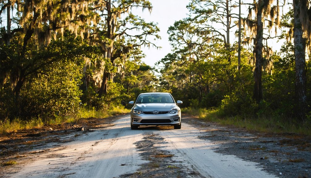
You’ll be glad to know that a regular 2WD vehicle can handle the road to Barrsville, which earns a manageable 2 rating on the 2WD grid.
Take the Southern route out of Lake City along the Old Military and Telegraph Road for the most straightforward 14-mile drive to the site.
Spring offers the best driving conditions, so plan your visit accordingly to avoid any seasonal road challenges.
Road Type And Rating
Reaching Barrsville won’t require anything more than a standard car. The road earns a 2WD rating of 2, meaning you can navigate it confidently without a truck or SUV.
The southern route out of Lake City puts you on the Old Military and Telegraph Road, a path steeped in local legends that stretch back to the town’s earliest days in 1845.
You’ll cover roughly 14 miles before arriving at a site where historic architecture once defined a living, breathing community. Today, nothing physically remains, but the journey itself carries weight.
The road is accessible and straightforward, so you won’t waste energy battling rough terrain. Instead, you can focus entirely on connecting with the layered history that still quietly echoes across this abandoned stretch of Columbia County.
Best Route From Lake City
Once you know the road won’t fight back, the next logical question is which direction to point the car. Head south from Lake City along the Old Military and Telegraph Road — the same route that once connected communities, carried local legends, and shaped Columbia County’s past.
Here’s what you’ll want to keep in mind:
- Distance: You’re looking at roughly 14 miles from Lake City
- Direction: Take the southern route for the most direct access
- Landmarks: Watch for O’Lustee Creek about 2 miles to your east
- Expectations: No historical artifacts survive on-site — it’s the landscape itself that tells the story
The Sante Fe River sits eight miles away, giving you a natural anchor point as you navigate toward this long-abandoned settlement.
Seasonal Driving Conditions
The good news is that you don’t need a rugged 4×4 to make this trip — Barrsville sits on a 2WD grid, rated a manageable 2 out of what’s typically a more punishing scale for ghost town access. Your regular car handles the route comfortably, especially when you time your visit during spring.
Dry conditions make the roads far more forgiving, giving you freedom to focus on the journey’s historical significance rather than your vehicle’s limitations. Wet seasons can soften unpaved stretches, so avoid planning after heavy rainfall.
This accessibility matters — cultural preservation starts with people actually reaching these forgotten places. When roads stay passable, more visitors connect with Barrsville’s story, keeping its memory alive even though nothing physical remains of the town itself.
Other Ghost Towns and Historic Sites Along the Old Military Road
Stretching south from Lake City, the Old Military and Telegraph Road doesn’t just lead you to Barrsville — it connects a string of forgotten communities and historic landmarks that reward curious travelers willing to explore Florida’s quieter backroads.
Along this route, you’ll encounter local legends tied to Civil War movements, traces of historical architecture, and communities that once thrived around the Sante Fe River corridor.
Keep your eyes open for:
- Mikesville — situated just 3.2 miles southwest of Barrsville’s suspected location
- O’Lustee Creek crossings — historically significant Civil War-era landmarks
- Ellisville — the renamed community carrying Barrsville’s original identity
- Sante Fe River access points — eight miles from Barrsville, offering natural and historical context
Each stop deepens your understanding of Columbia County‘s layered past.
Frequently Asked Questions
What Is the Best Season to Visit Barrsville Ghost Town?
Like a hidden gem catching golden light, spring’s your best bet! You’ll enjoy vibrant seasonal foliage painting the landscape while avoiding heavy tourist crowds, making your free-spirited exploration of Barrsville’s haunting, abandoned history feel truly personal and unrestricted.
How Far Is Barrsville From the Santa Fe River?
You’re just eight miles from the Santa Fe River when you reach Barrsville’s site. Though you won’t find abandoned buildings, local legends echo through this freeing, open landscape where history’s whispers still captivate adventurous spirits like yours.
When Did Barrsville’s Post Office First Open for Operation?
Coincidentally, Barrsville’s post office history began June 8, 1871, just as ghost town origins were taking shape. You’ll find it operated until 1882, weaving a brief but fascinating chapter into this abandoned community’s free-spirited past.
Where Did Founder Giles Ellis Originally Come From Before Florida?
You’ll find Giles Ellis’s historical origins rooted in Georgia’s Nankin District of Brooks County. Understanding this founder background enriches your appreciation of how he boldly ventured into Florida, establishing Barrsville’s legacy in 1845.
How Many Miles Northeast of Mikesville Is Barrsville Located?
You’ll find Barrsville sitting approximately 3.2 miles northeast of Mikesville, where abandoned landmarks whisper historical legends of a forgotten Florida community. It’s a hauntingly beautiful destination that’ll satisfy your spirit of freedom and adventure!
References
- https://www.ghosttowns.com/states/fl/barrsville.html
- https://www.wikiwand.com/en/articles/List_of_ghost_towns_in_Florida
- https://cccourthouse.org/wp-content/uploads/2023/12/Ghost-towns-and-Cemeteries-of-Citrus-County.pdf