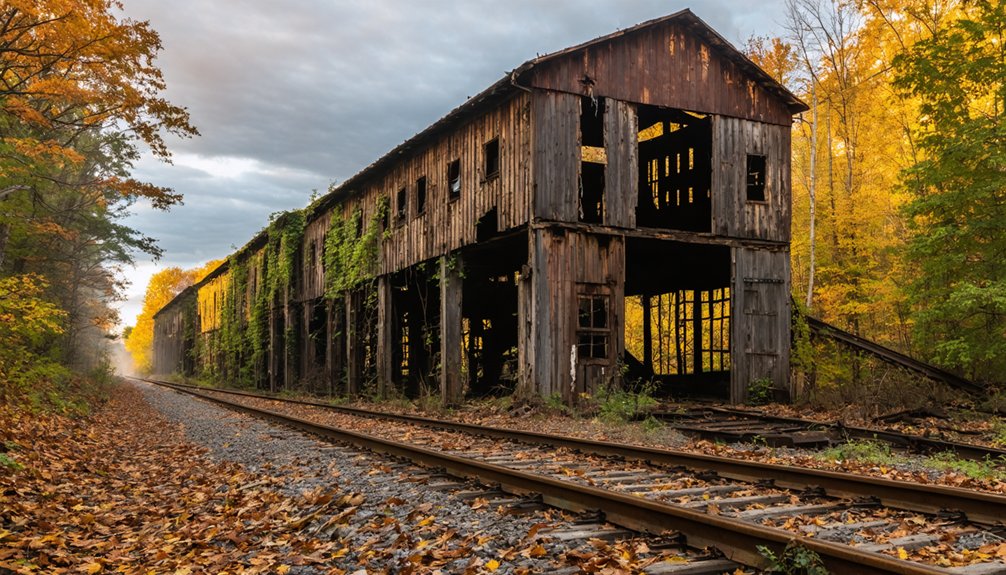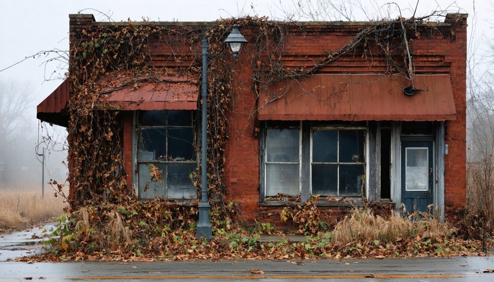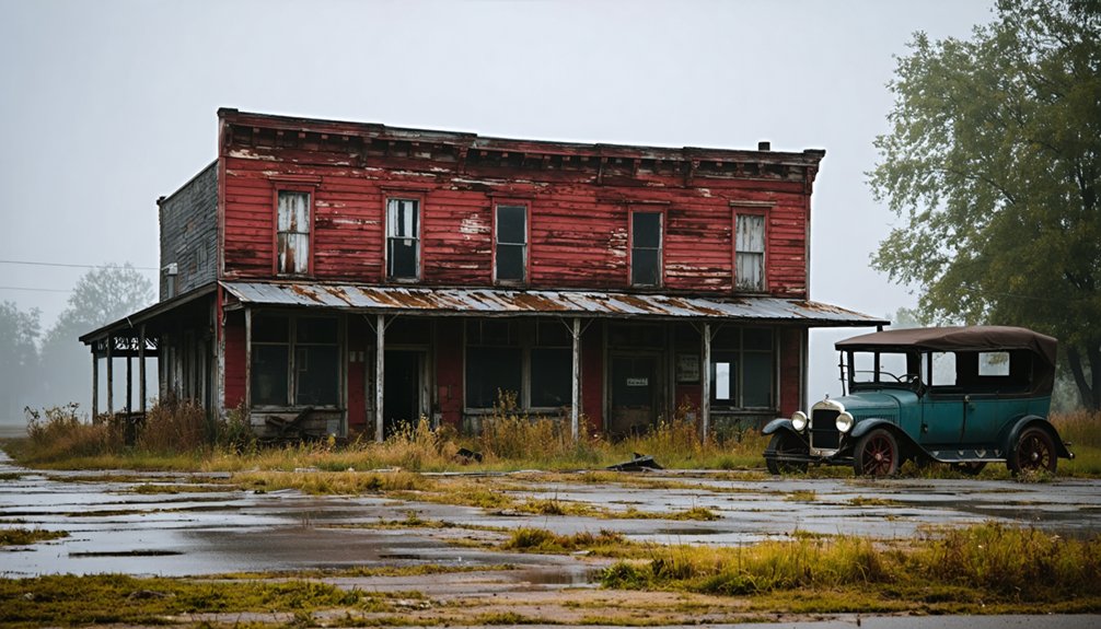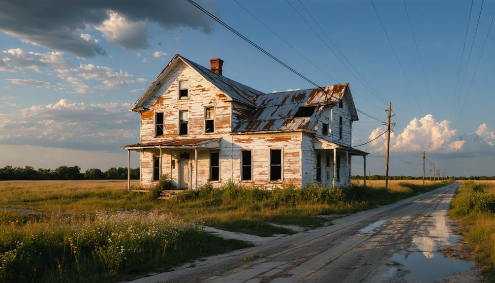
Corwin, Indiana is a ghost town you can actually visit — it’s tucked into Randolph Township, Tippecanoe County, not Henry County, sitting half a mile west of Romney along an active CSX rail line. Once a promising railroad-era settlement, a 1850s reroute sealed its fate. Today, grain elevators and open farmland are all that remain. If you’re planning a road trip out here, there’s more to this quiet, forgotten place than you’d expect.
Key Takeaways
- Corwin is located in Randolph Township, Tippecanoe County, Indiana, near Romney, not Henry County.
- The site is mostly farmland with grain elevators as the only visible remnants of the original town.
- From Lafayette, drive east on US-52 about 12 miles to Romney, then half a mile west to reach Corwin.
- Visit in fall for the best conditions, as stripped vegetation exposes foundations and dry ground eases access.
- Pack sturdy boots, offline maps, water, and bug spray, as cell service is limited near the site.
What Is Corwin, Indiana’s Forgotten Ghost Town?
Although Indiana has at least 41 documented ghost towns, Corwin stands out as one of the quietest casualties of railroad-era ambition. Tucked into Randolph Township, Tippecanoe County, this small settlement never really got the chance to live. When the railroad bypassed it in the 1850s, families packed up, businesses vanished, and the town plat was officially vacated.
Corwin never stood a chance — bypassed by the railroad, abandoned by its people, erased from history.
What remained were seven platted lots swallowed by farmland.
You won’t find Corwin on most modern maps, and that erasure fuels urban legends among history enthusiasts who comb through county records searching for answers. Preservation efforts here are nearly nonexistent, which makes visiting feel like genuine discovery.
Sitting at roughly 740 feet elevation, half a mile west of Romney, Corwin is freedom’s version of history — unfiltered, unpolished, and waiting for you.
Corwin’s Exact Location in Tippecanoe County
Pinpointing Corwin on a modern map takes a little patience, but the coordinates don’t lie: 40°15’5″ North, 86°54’52” West puts you squarely in Randolph Township, Tippecanoe County, right along a north–south CSX rail line.
You’re sitting at roughly 740 feet elevation, just half a mile west of Romney. It’s a quiet stretch of land where historical preservation efforts matter most, because without them, even the memory of Corwin disappears entirely.
Poor land management decisions following the railroad bypass left only vacated plat lines and open farmland where seven lots once promised something more.
Pull up satellite view and you won’t find much — but knowing the exact coordinates means you’re choosing to remember a place that most people have already forgotten. That independence of thought counts for something.
The Railroad Bypass That Killed Corwin
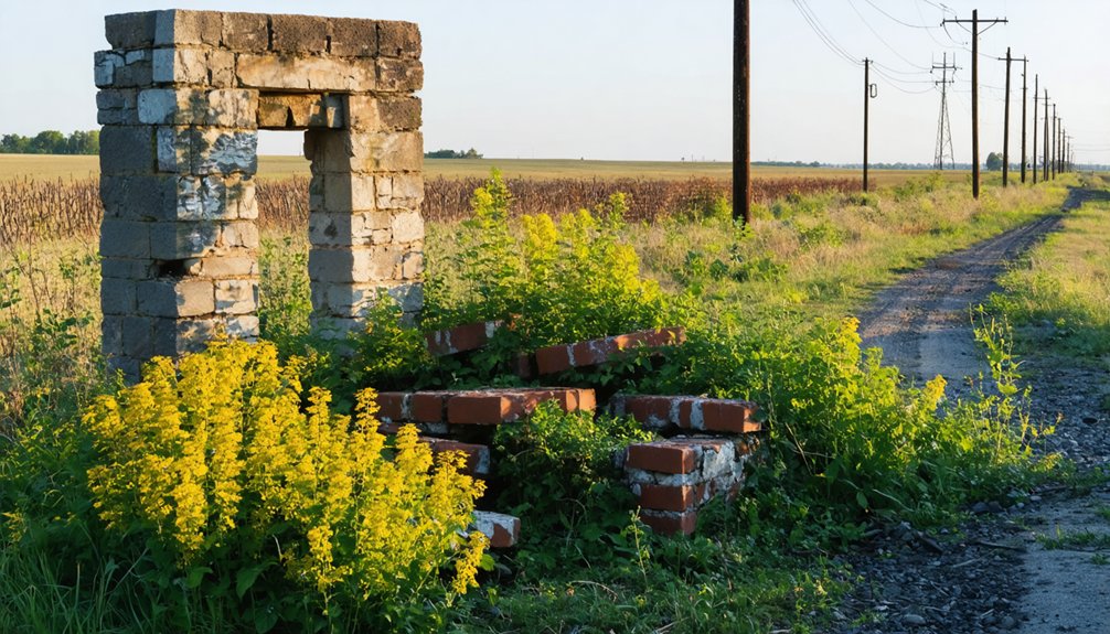
When you dig into Corwin’s history, you’ll find that a single railroad bypass decision in the 1850s effectively signed its death warrant.
Once planners rerouted the line away from the platted lots, families and businesses packed up and moved on.
Leaving the town site with little reason to exist.
The plat was officially vacated shortly after, and those seven lots by the rail line never became anything more than farmland.
Railroad Bypass Decision
The railroad bypass of the 1850s didn’t just redirect a train route — it quietly dismantled Corwin’s entire reason for existing. When planners chose a different path, they unknowingly triggered urban decay before the town ever gained momentum.
Historical preservation efforts today reveal just how fast things unraveled:
- Seven platted lots sat waiting, never developing into anything substantial
- Families packed up and relocated almost immediately after the decision
- Businesses followed, leaving no economic foundation behind
- The town plat was officially vacated, reverting everything to farmland
- Only grain elevators remained, earning it the label “Corwin Station”
You’re fundamentally visiting a place that never got its shot. That quiet tragedy is exactly what makes stopping here feel so strangely personal during your road trip.
Town Plat Vacated
Officially vacating a town plat sounds bureaucratic, but it’s actually the death certificate for a community. When Corwin’s plat was vacated, seven platted lots near the rail line simply reverted to farmland. No businesses opened. No families planted roots. The dream dissolved quietly into soil.
You won’t find much historical preservation effort dedicated to places like Corwin, because there’s almost nothing left to preserve. Local legends occasionally surface in county records, hinting at what might’ve been — a grain elevator here, a station marker there, briefly labeled “Corwin Station” on older maps.
What strikes you standing near those coordinates today is the silence. The railroad came, ignored the town, and moved on. Corwin never really lived much of a life before someone officially declared it over.
Families Moved Away
Bypass a town with a railroad, and you’ve fundamentally signed its eviction notice. That’s exactly what happened to Corwin. Once the tracks bypassed it in the 1850s, families packed up and left for towns with actual economic futures.
Here’s what that exodus looked like:
- Businesses shuttered without rail-connected customers
- Families relocated to Romney and surrounding townships
- Seven platted lots sat empty, never developed
- Grain elevators became Corwin’s only lasting identity
- The town plat was officially vacated, leaving farmland
For urban exploration enthusiasts and historical preservation advocates, Corwin represents a cautionary tale wrapped in open Indiana sky. You’re not visiting ruins — you’re visiting a decision, a moment when infrastructure chose a different path and erased a community’s future.
What’s Left of Corwin: Farmland, Rail Lines, and Grain Elevators
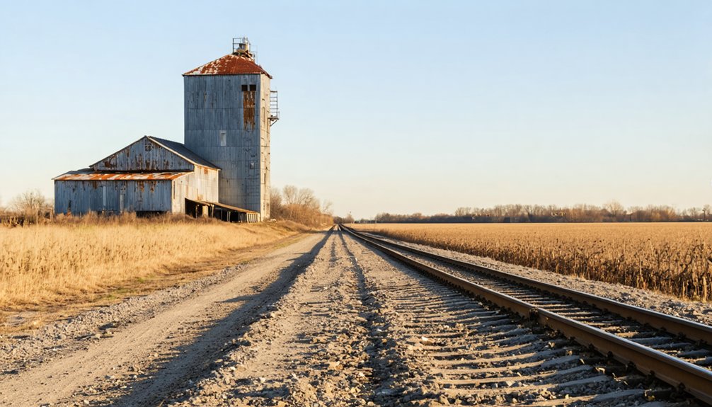
When you visit Corwin today, there’s not much to signal that a town was ever platted here — just farmland stretching in every direction, a north–south CSX rail line cutting through the quiet, and the grain elevators that once gave the site its informal nickname, “Corwin Station.” Those seven platted lots by the rail line never grew into storefronts or neighborhoods.
What remains tells an honest story. The rail line still runs, the elevators still stand, and the fields reclaimed what ambition once mapped out.
There’s real value here for historical preservation efforts and tourism development — places like Corwin remind you that not every town gets a second act. Stand at those coordinates, breathe the open air, and you’ll feel exactly how quietly a place can disappear.
Best Time to Visit Corwin Ghost Town
Late spring and early fall are your best bets for visiting Corwin, when mild temperatures make it easy to walk the old rail line and scan the horizon for grain elevator remnants without sweating through your shirt or dodging ice patches.
You’ll want to skip summer weekends if you’re hoping for that quiet, solitary ghost town feeling, since curious travelers and farm equipment can crowd the narrow rural roads.
Winter strips the landscape bare, which actually reveals old foundations and field patterns better than any other season, so if you don’t mind the cold, January can surprise you.
Ideal Visiting Seasons
Spring and fall are your best bets for visiting Corwin, when the Indiana weather cooperates and the landscape opens up just enough to read the old town lines beneath the farmland. Each season tells a different story tied to local folklore and quiet preservation efforts.
- Spring: Thawing ground reveals old lot boundaries
- Fall: Harvest clears fields, exposing forgotten foundations
- Summer: Dense vegetation hides most surface details
- Winter: Hard freezes occasionally reveal soil disturbances
- Golden Hour: Late afternoon light dramatizes subtle terrain shifts
You’ll want dry roads and mild temperatures, so April through May or September through October hit the sweet spot. Skip July and August unless you enjoy sweating through tall grass with zero visibility on what little remains.
Weather Considerations For Travel
Tippecanoe County sits in a weather corridor that swings hard between extremes, so you’ll want to time your visit carefully if you’re serious about reading what’s left of Corwin’s landscape.
Spring thaws reveal historical artifacts pressed into muddy ground near the old rail line, but seasonal flooding can cut off rural access roads fast.
Summer’s thick humidity makes fieldwork miserable, though long daylight hours give you time to chase local legends tied to those seven platted lots.
Fall wins outright — cooler temperatures, dry ground, and stripped vegetation expose foundation lines invisible in summer.
Winter’s passable if you’re stubborn, but frozen terrain hides everything worth finding.
Pack layers regardless, because Tippecanoe County weather rarely cooperates with anyone’s schedule, including yours.
Avoiding Crowds And Obstacles
Crowds aren’t really Corwin’s problem — the place erased itself long before tourists ever had a reason to show up — but obstacles absolutely are.
The CSX rail line running through the area means you’re charting active freight corridors. Local legends mention unmarked boundaries that surprise unprepared visitors. Historical preservation efforts occasionally restrict access to platted land.
Watch for:
- Active rail crossings near the old grain elevator sites
- Soft agricultural ground after heavy rainfall
- Unmarked private farmland boundaries
- Seasonal overgrowth hiding foundation remnants
- Limited cell service affecting navigation apps
You’re visiting coordinates that most digital maps don’t even acknowledge. Go early, go dry, and tell someone where you’re headed.
Corwin never had much life — don’t let your visit become another obstacle story tied to the place.
What to Pack for a Rural Indiana Ghost Town Trip
Before you head out to explore Corwin or any other forgotten Indiana town, you’ll want to pack smart — rural ghost towns don’t exactly have a corner store nearby. Bring water, snacks, and sturdy boots for uneven terrain.
Pack smart before exploring forgotten Indiana towns — water, snacks, and sturdy boots are essential when there’s no corner store nearby.
A printed county map beats relying on GPS since many ghost towns don’t appear on Google Maps anymore.
For historical preservation purposes, carry a notebook to document what you find — crumbling foundations, grain elevator remnants, or old plat markers tell real stories. A camera helps you capture details that support local legends passed down through generations.
Pack sunscreen, bug spray, and a basic first aid kit. Cell service gets spotty fast out here, so download offline maps and let someone know your route before you leave.
How to Drive to Corwin From Lafayette, Muncie, and Indianapolis
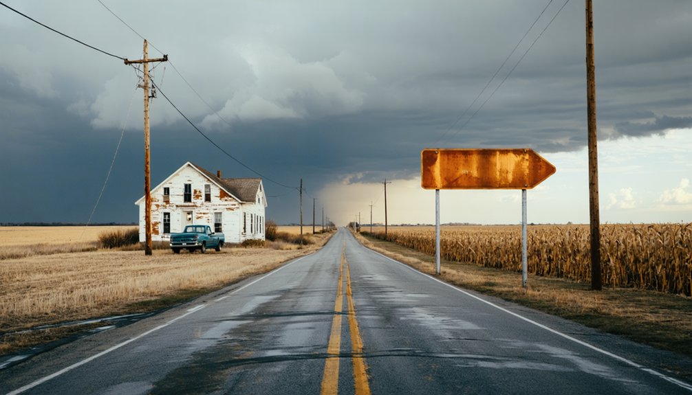
Once you’ve got your gear packed and your offline maps downloaded, it’s time to figure out how you’re actually getting to Corwin — and that depends on where you’re starting. This quiet stretch of Tippecanoe County rewards those who drive in unhurried, eyes open for historical artifacts and wildlife observation along the back roads.
- From Lafayette: Head east on US-52 about 12 miles toward Romney — Corwin sits half a mile west.
- From Indianapolis: Take I-65 north, exit toward Frankfort, then head northwest on SR-28.
- From Muncie: Drive west on SR-32 through Frankfort, then north toward Randolph Township.
- All routes: Avoid GPS reliance — download offline maps beforehand.
- Final stretch: Follow the CSX rail line north–south as your landmark.
Ghost Towns Near Corwin to Visit on the Same Trip
Since you’re already making the drive out to Corwin, it’d be a shame to turn around without checking out a few other forgotten Indiana communities scattered across the same region. Fort Ritner and Monument City both reward curious travelers willing to wander off marked routes.
Martin County’s Hindostan Falls carries local legends of epidemic-era abandonment that historical preservation advocates still debate today. If you swing south, Brown County’s Elkinsville tells a harder story — federal acquisition erased it for Monroe Lake in the early 1960s, displacing families with little say.
Each stop adds texture to what Corwin alone can’t fully tell you. Together, these sites sketch a fuller, rawer picture of how Indiana’s smaller communities quietly disappeared, leaving behind coordinates, ghost plats, and stubborn memories.
Where to Eat and Sleep Near Corwin Ghost Town

Corwin itself won’t feed you or put a roof over your head — it’s farmland and coordinates now — so you’ll need to plan around the nearest towns that still have a pulse. Romney sits half a mile east, but Lafayette carries the real weight for historical preservation, local legends, and overnight stays.
Corwin won’t shelter you — it’s coordinates and cornfields now. Romney and Lafayette carry the living weight.
Here’s what to line up before you roll out:
- Diners in Lafayette serving classic Midwest comfort food
- Local taverns where old-timers share ghost town stories
- Budget motels along US-52 for no-frills freedom
- Bed-and-breakfasts with regional history on the walls
- Convenience stops in Romney for quick fuel and snacks
Keep it loose, keep it cheap, and let the road decide the rest.
Frequently Asked Questions
Is There a Fee to Visit the Corwin Ghost Town Site?
There’s no fee to explore Corwin’s ghost town history — you’re free to roam! Just respect historic preservation efforts as you wander the quiet farmland where seven platted lots once dreamed of becoming something more.
Can Visitors Legally Walk the CSX Rail Line Near Corwin?
Like a siren’s call, the tracks tempt you — but don’t cross that line. Railway trespassing on CSX is illegal. You can honor Corwin’s historic preservation by exploring safely from public roads nearby instead.
Are There Guided Ghost Town Tours Available in Tippecanoe County?
No official guided tours exist, but you’ll find local lore and haunted legends waiting around every corner. Explore Tippecanoe County’s forgotten past on your own terms — Corwin’s quiet, overgrown history practically guides you itself.
What Is the Postal Code Used When Mailing to Corwin?
When mailing to Corwin, you’d use postal code 47981 for mailing addresses. Curiously, Indiana has 41+ ghost towns — yet postal codes still honor them, keeping these forgotten places alive in America’s routing systems.
Has Corwin Ever Appeared in Any Indiana Historical Documentaries?
The knowledge doesn’t confirm Corwin’s appearance in Indiana historical documentaries, but you’d appreciate its historical significance. Preservation efforts keep its story alive, and you can explore this forgotten town’s nostalgic past through local county records and ghost town research.
References
- https://en.wikipedia.org/wiki/List_of_ghost_towns_in_Indiana
- https://en.wikipedia.org/wiki/Corwin
- https://www.youtube.com/watch?v=v9O_OGoDXE8
- https://www.youtube.com/watch?v=484KsCOx0E4
- https://33travels.com/ghost-towns-in-indiana/
- https://www.onlyinyourstate.com/experiences/indiana/ghost-towns-in
- https://everafterinthewoods.com/these-deserted-ghost-towns-in-indiana-are-full-of-forgotten-stories/
- https://www.wikiwand.com/en/map/Corwin
- https://www.mapsof.net/corwin-in