Planning a ghost town road trip to Bear Rock, South Dakota puts you at one of the Black Hills’ most fascinating historical sites. You’ll explore where 1870s gold rush prospectors once worked placer deposits and collected mail from a cave — the region’s very first post office. It’s located in Custer County, near highways 16 and 385, making it easy to combine with nearby ghost towns. Stick around to uncover everything you need for an unforgettable Black Hills adventure.
Key Takeaways
- Visit late spring through early fall to avoid winter snow and mud that can block access routes to Bear Rock.
- Build a route including Bear Rock, Galena, Spokane, and Custer State Park for a comprehensive ghost town experience.
- Pack water, offline maps, a field notebook, camera, sturdy boots, and printed maps before departing.
- Contact the Custer County Historical Society and cross-reference historical archives to confirm Bear Rock’s exact location beforehand.
- Look for subtle landscape clues like disturbed earth, altered stream banks, and rocky outcroppings indicating the former settlement.
What Was Bear Rock, South Dakota?
Bear Rock was an early placer mining camp tucked into the Black Hills of Custer County, South Dakota — and it carries a distinction that sets it apart from hundreds of other abandoned settlements in the region: it was home to the first post office in the Black Hills, which was reportedly operated out of a cave.
Like many frontier communities, Bear Rock followed settlement patterns common to the mid-1870s mineral rush. Prospectors chased accessible mineral deposits in streams and loose ground, built temporary infrastructure, and moved on when resources thinned.
What you’re looking at today is a ghost town shaped entirely by that boom-and-bust cycle. The cave post office isn’t just a quirky footnote — it’s a window into how raw and improvised life was at the Black Hills frontier.
Bear Rock Had the First Post Office in the Black Hills: Inside a Cave
What made Bear Rock genuinely remarkable wasn’t the gold — it was the mail. Bear Rock earned its place in history by operating the first post office in the entire Black Hills, and it didn’t occupy a proper building. Miners collected their letters from inside a cave.
That single detail separates Bear Rock from dozens of other forgotten placer camps scattered across Custer County.
When you visit, picture early prospectors hauling mining equipment through rugged terrain, then stopping at a cave entrance to check for correspondence from home. Historical artifacts from sites like this reveal how settlers built functioning infrastructure from almost nothing.
That cave wasn’t primitive — it was resourceful. It reminds you that freedom on the frontier meant solving real problems with whatever the land offered.
Bear Rock’s Role in the 1870s Black Hills Gold Rush
When you trace Bear Rock’s origins, you land squarely in the heart of the 1870s Black Hills gold rush, the regional boom that pulled prospectors into Custer County in droves.
The camp took shape as an early placer mining settlement, where miners worked stream deposits and loose ground in search of gold.
You’re looking at a place that formed fast, served a raw frontier need, and faded just as quickly once the easy mineral pickings dried up.
Early Placer Mining Activity
How did a remote corner of Custer County become one of the earliest hotspots of Black Hills mining activity? Bear Rock’s mining history traces back to placer operations, where prospectors extracted minerals from stream deposits and loose ground — no deep shafts required.
Here’s what defined early activity at Bear Rock:
- Placer techniques let miners work quickly with minimal equipment
- Stream and sediment deposits made the site accessible to early arrivers
- Postal lore connects the camp to the Black Hills’ first post office — inside a cave
- Mid-1870s gold rush momentum drew prospectors into Custer County fast
You’re looking at a place where frontier infrastructure appeared almost overnight. Bear Rock wasn’t built to last — it was built to move fast.
Gold Rush Settlement Origins
Before the Black Hills became synonymous with gold, Bear Rock was already staking its claim as one of Custer County’s earliest frontier footholds. When mid-1870s mineral discoveries ignited the region’s gold rush, prospectors flooded the hills chasing both fortune and freedom.
Bear Rock emerged from that fever, drawing miners who traded comfort for opportunity in the rugged Black Hills terrain.
You’ll find that settlement myths and mining legends surround many camps from this era, and Bear Rock is no different. Placer mining drew early arrivals before permanent infrastructure existed, making the settlement a raw, unpolished product of frontier ambition.
Understanding Bear Rock’s gold rush origins helps you appreciate why this small camp punched above its weight historically, earning distinctions that larger, better-known towns never claimed.
Where Bear Rock Sits in Custer County
When you’re mapping out your route, you’ll find Bear Rock tucked inside Custer County, one of South Dakota’s westernmost counties and the heart of Black Hills country. The county places you within reach of dramatic granite formations, dense pine forests, and dozens of other mining-era ghost towns scattered across the region.
That geography matters, because Bear Rock didn’t emerge in isolation — it grew as part of a broader frontier rush that transformed the Black Hills landscape in the 1870s.
Custer County Geographic Position
Tucked into the southwestern corner of South Dakota, Custer County sits at the heart of the Black Hills region, and that’s exactly where you’ll find Bear Rock. Modern preservation efforts across this area keep historical myths alive while honoring the rugged frontier spirit that shaped these lands.
Before you hit the road, know these four geographic anchors:
- Custer County borders Wyoming to the west, giving you cross-state road trip flexibility.
- The Black Hills surround the county, offering dramatic terrain at every turn.
- Custer City serves as the county seat, making it your practical base camp.
- Major routes like Highway 16 and Highway 385 cut directly through the region, keeping Bear Rock accessible.
You’re entering raw, open country built for exploration.
Black Hills Regional Context
The Black Hills pack more ghost town history into one region than almost anywhere else in the American West, and Bear Rock sits right in the middle of that legacy. Estimates suggest over 600 abandoned settlements once dotted this landscape, each tied to the mineral rush that transformed the Dakota frontier after the mid-1870s.
Prospectors pushed into Custer County using placer mining techniques, working streams and loose deposits for gold before larger operations took hold. Bear Rock emerged from that same restless energy.
Today, you can still find historical artifacts scattered across the region that connect modern explorers to those early camps. Understanding Bear Rock’s place within the broader Black Hills context makes your road trip feel less like sightseeing and more like genuine frontier discovery.
How to Verify Bear Rock’s Location Before You Go?

Because Bear Rock sits among hundreds of poorly documented Black Hills ghost towns, you’ll want to cross-reference multiple sources before hitting the road. Solid research protects your time and connects you deeper to the area’s mining history.
- Check South Dakota historical society archives for Custer County plat maps and early settlement records.
- Search digitized newspaper databases covering 1870s Black Hills prospecting activity for location references.
- Contact local preservation efforts organizations, such as the Custer County Historical Society, for firsthand guidance.
- Use satellite mapping tools combined with USGS topographic maps to identify terrain matching early placer mining camp descriptions.
Field conditions change, and many sites lack markers. Verifying Bear Rock’s exact coordinates before departing keeps your road trip focused, efficient, and genuinely rewarding.
How to Reach Bear Rock on a Ghost Town Road Trip
Once you’ve confirmed Bear Rock‘s location through historical records and maps, reaching it means plotting a route through Custer County’s rugged Black Hills terrain. Start in Custer, stock your vehicle with paper maps alongside digital backups, and plan for unpaved roads that reward patience over speed.
Build your itinerary around mining history by linking Bear Rock with nearby ghost towns like Spokane or Galena, stretching your drive into a fuller regional exploration. Each stop deepens the story of frontier extraction and rapid abandonment.
Bear Rock’s postal legend—mail delivered inside a cave—gives your visit a sharp focal point beyond scenery. Arrive early, document what remains, and treat the site with the respect that genuinely forgotten places deserve.
Freedom tastes best when earned through deliberate, well-researched travel.
No Standing Structures: What Remains at Bear Rock Today?
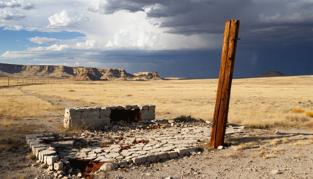
When you arrive at Bear Rock, you won’t find standing buildings, fenced exhibits, or interpretive signs marking what once stood here.
What remains is the landscape itself — the terrain, old diggings, and natural features that miners once shaped into a functioning placer camp.
You’ll need to read the land carefully, looking for subtle clues like disturbed earth, stream alterations, or eroded pathways that hint at the community that briefly thrived here.
Visible Remnants Today
Although Bear Rock no longer has standing structures to greet you, the site still carries the quiet weight of its frontier past. You won’t find restored buildings, but sharp eyes can still uncover traces worth the detour.
Look for these visible remnants:
- Placer mining disturbances — Altered stream banks and disturbed earth reveal where early miners worked the ground.
- Scattered mining equipment fragments — Rusted or broken pieces occasionally surface near former digging sites.
- Historical markers — Roadside or regional signage may reference Bear Rock’s early postal distinction.
- The cave site — The natural formation reportedly used as the Black Hills’ first post office remains the most compelling physical connection to the camp’s unusual history.
Reading The Landscape
Reading the landscape at Bear Rock takes practice, but it rewards patience. Without standing structures, you’ll rely on subtle clues — unnatural depressions, flattened ground, or scattered debris that hints at former activity.
This is where mining history speaks quietly, through soil disturbances left by placer operations and faint outlines where buildings once stood.
Ghost town preservation here isn’t about maintained monuments. It’s about developing your eye for what the land itself records. Look for stream banks that show signs of early digging, or rocky outcroppings that might mark the cave once used as a post office.
Bring a topographic map and walk slowly. The longer you stay, the more the site reveals. Bear Rock doesn’t announce itself — you have to earn the story.
Best Time to Visit Bear Rock and Plan Your Custer County Loop
Late spring through early fall gives you the best window for exploring Bear Rock and building a Custer County ghost town loop. Snow and mud close many rural routes in winter, while summer offers long daylight hours perfect for spotting historical artifacts and traversing unmarked terrain.
Prioritize visitor safety by checking road conditions before heading out.
Build your loop around these four stops:
- Bear Rock – the cave post office site and placer mining remnants
- Galena – a silver-era camp with visible structural ruins
- Spokane – a quiet stop with strong Black Hills mining ties
- Custer State Park vicinity – useful for resupply and orientation
Pack water, download offline maps, and tell someone your route before you leave.
Other Black Hills Ghost Towns Worth Adding to Your Route
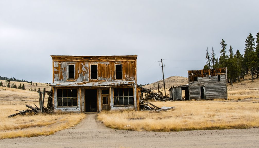
Once you’ve locked in your Bear Rock loop, it’s worth stretching your itinerary to pull in a few more Black Hills ghost towns that reward the extra miles. Spokane and Galena both sit within reasonable driving distance and deliver solid mining relics — collapsed structures, old shafts, and rusted equipment that tell the story of boom-and-bust frontier life.
Galena, once a thriving silver camp, offers historic landmarks that give real context to the region’s mineral-rush past. Spokane adds another layer of early settlement history worth walking through.
Each stop deepens your understanding of how quickly these communities rose and fell. Map your route before you leave, confirm road access, and build in enough time to explore each site without rushing.
What to Bring When Visiting Bear Rock and Nearby Ghost Towns?
Packing smart makes the difference between a frustrating outing and a solid day of ghost town exploration. Bear Rock sits in rugged Custer County terrain, so you’ll want gear that keeps you mobile and informed.
- Sturdy boots – Uneven ground near old placer mining sites demands ankle support.
- Field notebook and camera – Document ghost town preservation details like structural remnants, cave formations, and early settlement markers.
- Printed maps and offline GPS – Cell coverage drops fast in the Black Hills backcountry.
- Reference materials on mining techniques – Understanding placer methods helps you interpret landscape features and erosion patterns you’ll encounter on-site.
Travel light but purposefully. You’re not just sightseeing—you’re reading a landscape that once defined frontier life in South Dakota.
Frequently Asked Questions
Is Bear Rock Located on Public or Private Land?
The knowledge doesn’t confirm Bear Rock’s land ownership status. You’ll want to verify whether it’s public or private land before visiting, as that detail directly affects your access and doesn’t diminish its historical significance.
Are There Guided Ghost Town Tours Available in Custer County?
You’re in luck! Custer County’s guided ghost town tours let you explore historical preservation efforts and fascinating tourist attractions firsthand. Check with local visitor centers, as they’ll connect you with knowledgeable guides who bring abandoned mining-era stories vividly to life.
Did Bear Rock Have a Name Before Miners Settled There?
The historical records don’t reveal a name before miners settled there. Bear Rock’s mining history suggests the name likely came from the landscape itself, giving you a rugged, authentic connection to its wild frontier origins.
How Many People Lived at Bear Rock During Peak Mining Activity?
Records don’t capture exact numbers, but you’d have found thousands of dreams packed into Bear Rock’s mining history. Population fluctuations swept wildly through camp as prospectors arrived, struck out, and vanished like dust on the wind.
Are Metal Detectors Permitted at Black Hills Ghost Town Sites?
You’ll need to verify metal detecting regulations before searching for ghost town relics, as rules vary by land ownership. Always check with local authorities—some sites permit detecting, while others strictly prohibit disturbing historical artifacts.
References
- https://en.wikipedia.org/wiki/List_of_ghost_towns_in_South_Dakota
- https://www.sdpb.org/rural-life-and-history/2023-08-21/some-black-hills-ghost-towns-and-their-origins
- https://www.facebook.com/GhostTownsOftheAmericanWest/posts/in-1875-miners-looking-for-gold-near-bear-butte-creek-found-veins-of-galena-a-mi/919160733584603/
- https://myxoadventures.com/the-ghost-town-of-spokane-south-dakota/
- https://kids.kiddle.co/List_of_ghost_towns_in_South_Dakota
- https://en.wikipedia.org/wiki/Teddy_Bear