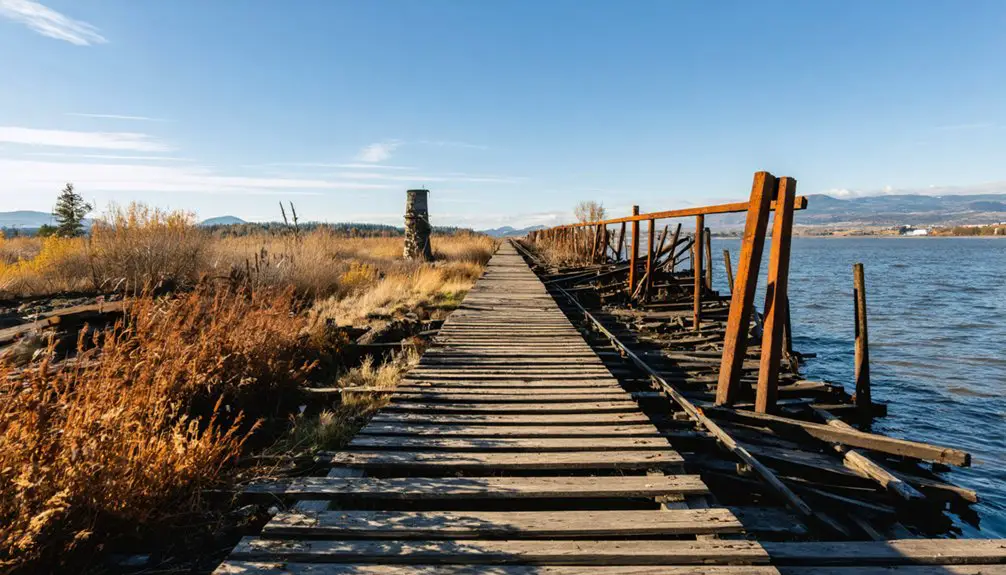
Doty’s old fire lookout tower is long gone, but what’s left behind still draws the curious and the restless. You’ll need a high-clearance vehicle, offline maps, and GPS coordinates to navigate 8 miles of rough gravel road with no signage. Pack water, food, and a first-aid kit because there’s nothing out there but timber and history. If Doty’s got its hooks in you already, there’s plenty more waiting down the road.
Key Takeaways
- Doty’s main attraction is a destroyed 1942 fire lookout tower, leaving behind concrete fragments and rusted debris reclaimed by nature.
- Access requires navigating 8 miles of rough gravel road with no signs, making GPS coordinates and offline maps essential.
- High-clearance, off-road vehicles are required; standard sedans cannot handle the loose gravel, uneven surfaces, and tight forest sections.
- No services exist near Doty, so pack water, food, a first-aid kit, flashlight, and all necessary camping supplies.
- Nearby abandoned sites include submerged Riffe Ghost Town, Pe Ell’s logging-era buildings, and Onalaska’s historic old mill sites.
What’s Left of Doty, Washington Today?
Once a functional piece of Washington’s wildfire defense network, Doty’s fire lookout tower is long gone—destroyed sometime between 1964 and 1966, leaving behind little more than concrete fragments, rusted metal scraps, and an overgrown footprint where the structure once stood.
Nature’s Reclamation has been thorough here in Lewis County’s Doty Hills, with dense vegetation swallowing nearly every trace of what once kept watch over this rugged corner of southwest Washington.
Nature has reclaimed the Doty Hills thoroughly, swallowing nearly every trace of what once stood watch.
You’ll find forgotten memories embedded in scattered debris if you look closely enough—evidence of mid-century forestry ambition now surrendered to the forest itself.
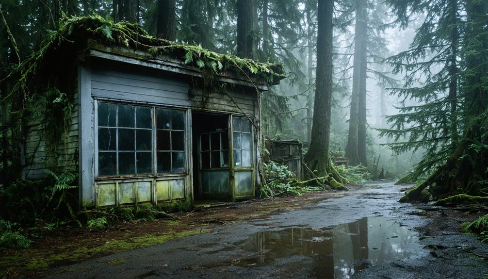
No buildings remain. No active presence exists. Just wild terrain, quiet hills, and the faint outline of a foundation that once supported something genuinely purposeful.
This land belongs to itself now.
The History Behind Doty Fire Lookout
Back in 1942, Washington’s Division of Forestry raised the Doty Lookout Tower above these forested Lewis County ridgelines as part of the region’s wildfire defense network.
For roughly two decades, it stood watch over the Doty Hills, giving fire crews an elevated eye on the dense timberlands stretching toward the Tilton and Green Rivers.
Sometime between 1964 and 1966, the tower vanished — claimed by fire or decay — leaving only concrete fragments and rusted remnants to mark where it once stood.
Lookout Tower Origins
During the early 1940s, Washington’s Division of Forestry built the Doty Lookout Tower, erecting it in 1942 as part of a broader wildfire defense network stretching across the Pacific Northwest.
The lookout tower design reflected the era’s practical approach to fire monitoring techniques, positioning observers high above the dense forest canopy to spot smoke before flames spread unchecked across remote terrain.
Stationed here, a lone watchman could scan miles of rugged Lewis County wilderness, reporting fires via radio or telephone lines strung through the hills.
It’s a striking reminder of how independently-minded forest workers protected vast stretches of land with minimal technology and maximum vigilance.
That spirit of self-reliance defined an entire generation of Pacific Northwest forestry operations throughout the 1940s and 1950s.
Destruction And Legacy
Somewhere between 1964 and 1966, the Doty Lookout Tower vanished from the hilltop it had faithfully occupied for over two decades, likely claimed by fire or slow structural decay.
What once stood as a critical node in Washington’s wildfire defense network simply disappeared, leaving behind concrete fragments and rusted metal scattered across overgrown ground.
The Doty Fire lookout’s historical significance reaches beyond its short operational life. It represents a generation of Pacific Northwest forestry thinking — the belief that human eyes stationed at elevation could protect vast wilderness.
You’re walking into that legacy when you visit today. No reconstruction efforts exist here; preservationists focus solely on documentation.
The site rewards those who appreciate raw, unpolished history rather than sanitized landmarks, making it a genuine destination for freedom-seeking explorers.
How to Get to Doty, Washington: Directions and Road Conditions
To reach Doty, you’ll navigate roughly 8 miles of rough gravel road through the rugged, forested hills of Lewis County — so bring a vehicle that can handle uneven, unpaved terrain.
No road signs mark the way, making GPS coordinates and a pre-downloaded offline Google Maps route essential before you leave cell service behind.
Once you’ve reached the end of the drivable stretch, only a short walk stands between you and what remains of this forgotten corner of southwest Washington.
Primary Access Route Overview
Getting to Doty means leaving the paved world behind pretty quickly.
You’ll trade smooth asphalt for roughly 8 miles of gravel road, winding through the rugged Doty Hills of Lewis County in southwest Washington. The access challenges here are real — uneven terrain, no road signs marking your turn, and zero cell service mean you’re finding your way old-school style.
Download your offline maps before you leave civilization. A capable off-road vehicle handles the journey best, though you’ll only need a short walk once you’ve reached the end of the road.
These same hills once carried forestry crews monitoring wildfires across the Pacific Northwest, and those historical insights make every bump in the road feel earned.
This corner of Washington rewards the prepared and the curious.
Road Conditions and Requirements
Once you leave the pavement behind, the gravel road stretching toward the Doty Hills demands a vehicle with genuine off-road capability — soft suspension and low clearance won’t cut it out here.
Eight miles of rough, unpaved terrain separate you from the site, and the road shows no mercy to unprepared rigs.
Remote travel like this rewards those who come ready. You’ll navigate uneven surfaces, loose gravel, and sections where the treeline closes in tight.
No signs mark your turn, so download offline maps before you lose cell service entirely.
Ghost town exploration in southwest Washington isn’t a casual afternoon drive — it’s a commitment.
Park near the end of the road and finish the final stretch on foot, arriving exactly where the old lookout once stood.
Traveling to Doty means accepting that the usual tools won’t fully cooperate — cell service disappears well before you reach the Doty Hills, and no roadside signs mark the turnoff onto the gravel stretch leading toward the old lookout site.
Prepare your navigation tools before leaving civilization behind:
- Download offline maps through Google Maps while you still have a connection
- Save GPS coordinates for the site directly to your device
- Cross-reference a printed paper map as a reliable backup
Southwest Washington’s back roads reward those who respect their unpredictability.
The freedom of exploring Lewis County’s forgotten corners comes with responsibility — know your route before the signal drops. Arriving prepared means you spend less time second-guessing turnoffs and more time standing where that 1942 lookout tower once stood.
What Kind of Vehicle You Need to Reach Doty

Those 8 miles of gravel road between you and the Doty Fire Lookout site aren’t the kind you’ll want to tackle in a standard sedan. The terrain challenges here are real — uneven surfaces, loose rock, and forest-road conditions that shift with the seasons.
Vehicle recommendations lean toward trucks, SUVs, or any high-clearance rig that’s earned its miles on rough Pacific Northwest backroads. You’ll drive nearly the entire distance before parking and finishing on foot.
Think of the rigs that built this region — sturdy, capable, unapologetic. That’s what Doty demands. If you’re rolling in something low to the ground, you’re gambling with your undercarriage.
Respect the road, bring the right machine, and southwest Washington’s rugged interior opens up exactly the way it should — on your terms.
What to Pack When There Are No Services Near Doty
Doty doesn’t have a gas station, a ranger kiosk, or a roadside stand selling water — what you bring in is what you’ve got. This corner of Lewis County runs on self-reliance, and packing right means you move freely without second-guessing every mile of gravel behind you.
Pull your hiking essentials and any relevant camping gear before leaving civilization behind:
- Offline maps downloaded via Google Maps — cell service disappears fast out here
- First-aid kit, flashlight, and extra snacks — the terrain doesn’t forgive the unprepared
- Plenty of water — no streams you’d want to drink from without a filter
Treat this trip like the old-growth Pacific Northwest demands: prepared, intentional, and ready to own every decision you make past that last paved road.
Site Hazards at Doty: Terrain, Wildlife, and No Cell Coverage
Once you leave pavement behind in Lewis County, the landscape stops accommodating mistakes. The terrain challenges here are real — steep hillsides, dense Pacific Northwest timber, and overgrown ground cover that hides uneven footing.
You’re walking where a 1942 lookout tower once stood, and the land doesn’t maintain itself for visitors.
Wildlife encounters are part of this territory. You’re moving through remote southwest Washington forest, and animals live here undisturbed. Stay aware and make noise on the trail.
Cell coverage doesn’t exist at this site. Download your offline maps through Google Maps before you leave home — not at the trailhead, because you won’t have signal to do it there.
No signal reaches this trailhead. Download your offline maps before you leave home.
Bring a compass, trust your preparation, and respect what this rugged corner of Lewis County demands from you.
Abandoned Sites Near Doty Worth Visiting in Lewis County
Lewis County holds more than one forgotten story, and if you’ve made the drive out to the Doty Hills, you’re already close to several other abandoned sites worth tracking down.
The region rewards explorers who push a little further down those back roads.
Consider adding these stops to your route:
- Riffe Ghost Town – submerged by Riffe Lake in the 1960s, with remnants occasionally surfacing during low water levels
- Pe Ell’s historic district – scattered abandoned buildings from the early logging era line the outskirts
- Onalaska’s old mill sites – historical artifacts from Washington’s timber industry still mark these forgotten grounds
You’re already off the beaten path. Keep exploring — Lewis County doesn’t run out of forgotten corners easily.
Frequently Asked Questions
Was Doty Ever an Officially Recognized Town in Lewis County?
Like a whisper lost in the pines, Doty’s official status fades into uncertainty. The Doty history and Doty landmarks you’ll uncover don’t confirm it as a formally recognized Lewis County town.
Are There Any Guided Tours Available for the Doty Fire Lookout Site?
You won’t find formal fire lookout tours here, but you can explore Doty’s ghost town history independently. Pack your spirit of freedom, download offline maps, and let the rugged Lewis County wilderness guide your self-directed adventure.
Is the Doty Hills Area Protected Under Any Historical Preservation Designation?
There’s no formal historical preservation designation protecting the Doty Hills area, but preservation efforts focus on documenting its historical significance. You can explore this forgotten piece of Pacific Northwest heritage freely, honoring its legacy yourself.
Can Visitors Camp Overnight Near the Doty Fire Lookout Remnants?
The knowledge doesn’t spell out camping regulations near this ghost town’s remnants, so you’ll want to verify local rules before you “rest your boots” overnight in these hauntingly beautiful, freedom-calling Lewis County wilds.
What Rivers Run Near the Doty Hills Geographic Region?
You’ll find the Tilton and Green Rivers flowing near the Doty Hills, carrying deep historical significance through southwest Washington’s rugged landscape. Embrace river activities along these storied waterways, where freedom and regional heritage beautifully converge.
References
- https://advntrtrac.home.blog/2019/05/05/washingtons-ghost-town-road-trip/
- https://www.facebook.com/groups/wanderingwashington/posts/1231269897841544/
- https://seattlerefined.com/lifestyle/ghost-town-road-trip-7-locations-8-hours
- https://kpq.com/haunted-heart-wa-road-trip/
- https://everafterinthewoods.com/this-haunted-road-trip-through-washington-ghost-towns-feels-like-a-true-adventure/
- https://www.sandpointlivinglocal.com/post/2017/06/30/ghost-town-road-trip
- https://www.youtube.com/watch?v=xRblrQUBg1Y
- https://stateofwatourism.com/ghost-towns-of-washington-state/
- https://www.tri-cityherald.com/sports/outdoors/article231450093.html
- https://www.reddit.com/r/Washington/comments/1dwcb69/abandoned_roadtrip/