Griggs ghost town sits half a mile north of Galena in Lawrence County, and it’s one of the most historically loaded stops you can add to a Black Hills road trip. Once a silver mining hub connected by the Deadwood Central railroad, it’s now a quiet, barren site where terrain depressions and shaped creek banks tell the story. You can reach it easily by car, bike, or foot from Galena, and pairing it with nearby ghost towns like Greenwood makes for a full day of exploration — and there’s much more to uncover about making the most of this trip.
Key Takeaways
- Griggs Ghost Town sits half a mile north of Galena at Butcher Gulch, easily reachable by driving, biking, or hiking old railroad corridors.
- Pair Griggs with nearby ghost towns like Galena, Greenwood, and Deadwood for a comprehensive single-day Lawrence County ghost town loop.
- Visit during late spring or early fall for mild temperatures, reduced flooding risk, and optimal photography lighting conditions.
- Always check NOAA forecasts before visiting, as Bear Butte Creek sits in flash flood territory and conditions can change rapidly.
- Research land ownership beforehand, as most South Dakota ghost towns are privately owned; requesting permission in advance can grant legal access.
What’s Left of Griggs Ghost Town Today
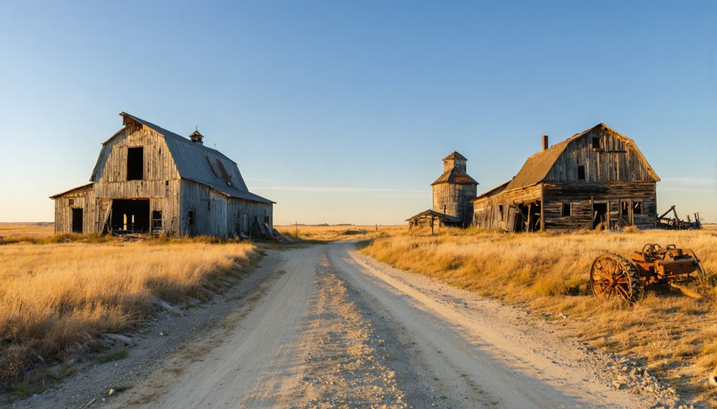
If you make the drive half a mile north of Galena to the mouth of Butcher Gulch, you won’t find much of Griggs left to see. The site sits completely barren today, with no buildings standing to mark its past.
Silver mining once drove Griggs history forward, drawing workers and rail connections to Bear Butte Creek during the Black Hills boom. The Deadwood Central‘s narrow gauge line even ran through here, linking this small camp to the region’s wider mining network.
But when the silver dried up, so did everything else. Nature has fully reclaimed the land, leaving no foundations, no walls, nothing. You’re fundamentally standing on open ground where an entire community once operated. That absence tells its own honest story about how fast a boom can vanish.
How Griggs Ghost Town Went From Silver Rush to Abandonment
That barren ground you’re standing on didn’t empty out overnight. Griggs once hummed with silver mining activity, drawing prospectors to Bear Butte Creek during the late 19th century rush that electrified the Black Hills.
Miners flooded in, the Deadwood Central railroad connected the camp, and Butcher Gulch became a legitimate destination.
Then the silver played out.
Economic decline hit fast and hard. When the ore stopped producing, the money stopped flowing, and the people stopped staying.
There was no secondary industry to cushion the blow, no reason to rebuild around something that no longer existed. Workers packed up, structures eventually disappeared, and Griggs surrendered entirely to the landscape.
What you’re visiting today isn’t just abandoned — it’s completely reclaimed, leaving nothing but history beneath your feet.
Getting to Griggs Ghost Town From Galena and Deadwood
Getting to Griggs takes almost no effort if you’re already exploring the Galena area — the ghost town sits just half a mile north of Galena at the mouth of Butcher Gulch along Bear Butte Creek.
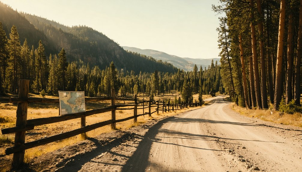
From Deadwood, head south toward Galena, then push north a short distance to reach the site. Your transportation options are straightforward: drive, bike, or hike the route, since the terrain follows relatively accessible paths near the old Deadwood Central narrow gauge railroad corridor.
From Deadwood, head south toward Galena — then push just a short distance north to reach the site.
That rail line once carried silver ore through this exact stretch of local history, connecting mining camps like Griggs to regional hubs.
Nothing remains standing at the site today, but the landscape itself tells the story of a community that burned bright during the silver rush and disappeared just as fast.
What You’ll Actually Find When You Reach the Griggs Site
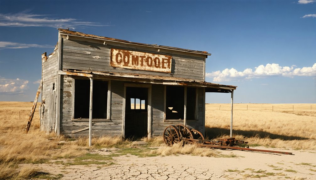
Nothing greets you at Griggs — no crumbling walls, no rusted machinery, no weathered signage hinting at what once stood here. The land has fully reclaimed this silver mining camp, leaving you to piece together Griggs history through imagination and research.
Still, standing at Butcher Gulch‘s mouth makes the visit worthwhile. You’re walking ground where miners once worked Bear Butte Creek using 19th-century mining techniques to extract silver ore.
Look for these subtle remnants:
- Subtle terrain depressions where structures once stood
- Creek banks shaped by mining activity
- The narrow gauge railroad corridor running through the site
- Natural landscape unchanged since the boom collapsed
You won’t find dramatic ruins here, but you’ll feel the raw freedom of standing inside a forgotten chapter of Black Hills history.
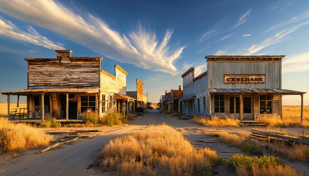
Nearby Lawrence County Ghost Towns Worth Adding to Your Route
While Griggs alone justifies the drive, Lawrence County holds several other ghost towns worth folding into your route.
Greenwood stands out as a compelling stop — this barren site hasn’t had a standing structure since 1971, when its last house was razed, leaving you to walk ground shaped entirely by mining booms and sudden abandonment.
Greenwood hasn’t had a standing structure since 1971 — just open ground shaped by mining booms and sudden abandonment.
The Black Hills region packed enormous ghost town history into a relatively compact area, meaning you won’t burn much fuel connecting these sites. You’re fundamentally tracing the same economic wave that built and destroyed Griggs, watching it repeat across the landscape.
Research your access points carefully before arriving — private property postings are common, and respecting boundaries keeps these sites accessible for every explorer who follows you.
Build the Full Black Hills Ghost Town Loop Around Griggs
Start your Black Hills ghost town loop by anchoring it around Griggs, just north of Galena on Bear Butte Creek, where the old Deadwood Central narrow gauge rail path gives you a natural corridor to follow.
From there, you can swing through other Lawrence County sites like Greenwood, weaving a route that traces the boom-and-bust arc of the region’s silver and gold rushes.
Watch for signs of former rail grades along the way, since those historic paths often cut the most direct lines between abandoned settlements.
Starting Your Black Hills Loop
Once you’ve tracked down Griggs along Bear Butte Creek, you’re already positioned at the heart of Lawrence County’s ghost town corridor, making it the perfect anchor for a full Black Hills loop.
From here, you can branch outward, chasing remnants of historical mining techniques and capturing ghost town photography across several barren sites.
Build your loop around these nearby stops:
- Galena – just half a mile south, where mining infrastructure once dominated the gulch
- Greenwood – another Lawrence County barren site, razed completely by 1971
- Deadwood – your cultural reset, offering mining history context between remote stops
- Butcher Gulch corridor – follow the old Deadwood Central rail path for raw, unfiltered terrain
Each stop deepens your understanding of how quickly boom towns vanished.
Key Ghost Towns Nearby
Griggs anchors your Lawrence County route, but the real payoff comes from connecting it to the ghost towns scattered across the surrounding Black Hills terrain.
Greenwood, also in Lawrence County, sits barren since its last structure fell in 1971, offering raw mining history without distraction.
Push further and you’ll encounter sites where abandoned structures still break the horizon, telling stories of silver rushes, railroad ambitions, and sudden collapse.
Each stop layers onto the last, building a vivid picture of how quickly boomtowns vanished once resources dried up.
Plan your loop to hit multiple sites in a single day, watch for private property postings, and avoid flood-prone back roads after heavy rain.
The Black Hills rewards the curious traveler who moves deliberately.
The old Deadwood Central narrow gauge line gives you a natural spine for your Black Hills ghost town loop, threading through the same Bear Butte Creek corridor that once connected Griggs to the wider mining network.
Historic railways like this one transformed ghost town tourism by leaving behind readable landscapes you can still follow today. Trace the route from Galena northward, letting the terrain guide your stops:
- Follow old rail grades near Butcher Gulch toward Griggs’ barren site
- Push into Lawrence County to hit Greenwood, razed to nothing by 1971
- Cross into adjacent counties where mining busts emptied entire communities
- Use current roads that parallel former narrow gauge paths for efficient navigation
You’re not just driving — you’re reading history directly off the land.
Flash Floods, Private Land, and Other Hazards to Know Before You Go
Before you chase down Griggs and its neighboring ghost towns, you’ll need to respect two serious hazards that can turn an adventure sideways fast.
Bear Butte Creek sits in flash flood territory, so check weather forecasts obsessively and never park in low-lying areas during storms.
You’ll also encounter private property boundaries throughout the Black Hills corridor, and ignoring posted no-trespassing signs isn’t just rude—it’s illegal.
Flash Flood Safety Tips
Chasing ghost towns through South Dakota’s Black Hills means trading comfort for adventure—but it also means accepting real risks that can turn a memorable trip into a dangerous one.
Flash floods strike fast here, especially near creek beds like Bear Butte Creek around Griggs. Flood preparedness and weather monitoring aren’t optional—they’re survival basics.
Before you roll out, lock in these habits:
- Check NOAA forecasts and local alerts every morning
- Never camp or park in creek bottoms or gulches
- Watch the sky upstream—storms miles away flood your trail fast
- Have an exit route planned before you leave pavement
Stay free by staying smart. The Black Hills don’t forgive carelessness, and no ghost town photo is worth your life.
Private Land Boundaries
Most ghost towns in South Dakota sit on private land, and trespassing laws here aren’t suggestions—they carry real legal consequences. Before you head out toward Griggs or any surrounding Black Hills site, research land ownership thoroughly. County records and local historical societies often clarify who controls access to areas with genuine historical significance.
Respect posted signs. A “No Trespassing” marker means exactly that, regardless of how compelling the ruins look from the road. Many landowners will grant permission if you simply ask in advance—call ahead, explain your interest, and be specific about your intentions.
Your freedom to explore depends on respecting boundaries others have set. Violating property rights risks fines, confrontations, and damages the reputation of responsible history enthusiasts who follow you.
The Best Time of Year to Visit Griggs
Timing your visit to Griggs can make the difference between a rewarding ghost town excursion and a frustrating one. South Dakota’s Black Hills region offers distinct seasonal attractions, each shaping your experience differently.
Consider these key factors before hitting the road:
- Late spring (May–June): Mild temperatures, minimal flooding risk, ideal lighting for photography tips like golden-hour shots.
- Summer (July–August): Longest daylight hours, but thunderstorms and tornadoes can develop quickly.
- Fall (September–October): Crisp air, dramatic foliage framing barren terrain, exceptional contrast for photography.
- Winter: Snow creates striking visuals but risks road closures near Galena.
Your best window is late spring or early fall, when weather cooperates and Bear Butte Creek remains safely crossable.
Frequently Asked Questions
Was Griggs Ghost Town Ever Featured in Historical Photographs or Records?
“A picture’s worth a thousand words”—you’ll find Griggs’ historical significance lives through visual documentation from the late 19th-century silver rush era, capturing its narrow gauge railroad and Bear Butte Creek mining camp before it vanished completely.
Did Griggs Ever Have a Post Office During Its Active Mining Years?
The available records don’t confirm Griggs had a post office during its mining operations. You’d find its post office history remains unclear, though the silver mining community’s brief boom likely didn’t warrant establishing one.
Are Any Descendants of Griggs Residents Still Living in Lawrence County?
Records don’t confirm it, but descendant stories likely survive through Lawrence County’s community connections. You’ll find longtime Black Hills families who trace roots to mining camps like Griggs — start asking locals in Galena for fascinating personal histories.
What Silver Ore Grades Were Typically Extracted From the Griggs Mining Area?
The available records don’t specify silver ore grades you’d find from Griggs’ silver extraction operations. You’d need to explore Lawrence County historical archives, where mining techniques and ore quality data from that era might still survive.
Has Any Archaeological Survey Ever Been Conducted at the Griggs Site?
Ironically, no shovels have mapped Griggs’ secrets—archaeological findings remain nonexistent, and excavation techniques haven’t touched this barren site. You’re exploring ghost town freedom where history’s buried beneath silence, with no formal surveys conducted.
References
- https://ghostsofnorthdakota892857007.wordpress.com/tag/griggs-county/
- https://en.wikipedia.org/wiki/List_of_ghost_towns_in_South_Dakota
- https://kids.kiddle.co/List_of_ghost_towns_in_South_Dakota
- https://www.youtube.com/watch?v=_0WNYsFLSLA
- https://openprairie.sdstate.edu/etd/4061/


