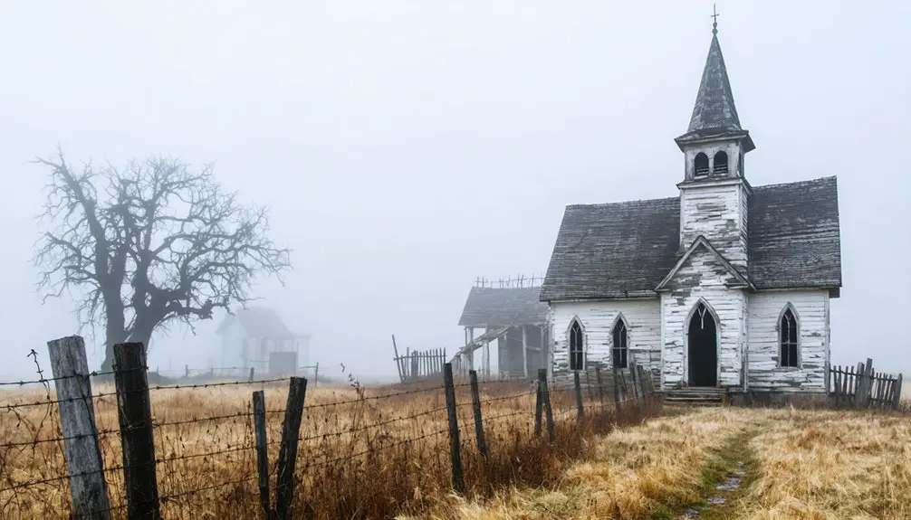
Planning a ghost town road trip to Howell, Missouri means tracing a community that didn’t fade — it was forcibly erased. In 1941, the U.S. Army seized over 17,000 acres, giving residents just 45 days to abandon their homes, churches, and schools for a wartime TNT plant. You won’t find standing structures, but the silence of the landscape tells its own story. Pair Howell with nearby Hamburg and Toonerville, and there’s far more to uncover.
Key Takeaways
- Howell, Missouri, vanished during World War II when the U.S. Army seized 17,232 acres for Weldon Spring Ordnance Works, displacing residents with 45 days’ notice.
- No physical structures remain, so your experience relies on understanding the landscape, historical records, and community stories rather than visible ruins.
- Visit the Weldon Spring Site Interpretive Center for contextual history about Howell and the nearby displaced communities of Hamburg and Toonerville.
- Research archives at St. Charles County historical records, Missouri Digital Heritage, and Missouri State Archives before your trip for maps and community histories.
- Contact institutions beforehand, request documents related to Howell and Weldon Spring, and use online resources like Ancestry.com and FamilySearch for preliminary research.
What Was Howell, Missouri Before It Disappeared?
Before it vanished under wartime orders, Howell was a quiet, rural farming community tucked into St. Charles County, Missouri. Farming life defined the town’s rhythm — families worked the land, built churches, and sent their children to one-room schoolhouses.
German immigrant families shaped much of the area’s character, bringing their traditions and work ethic to the Missouri countryside.
Community traditions ran deep here. Residents organized local institutions, maintained tight social bonds, and even supported a women’s baseball team.
The town’s post office operated from 1900 to 1917, confirming decades of active settlement.
When you visit today, you won’t find preserved buildings or marked streets. What you’ll find is history buried beneath federal land — a community that existed fully until the government decided otherwise.
Why the U.S. Army Erased Howell in 1941
When World War II demanded explosive production at an industrial scale, the U.S. Department of the Army seized 17,232 acres in St. Charles County to build the Weldon Spring Ordnance Works. Howell, Hamburg, and Toonerville stood directly in the way. Residents received just 45 days’ notice before losing homes their families had built across generations.
The Army cleared the land for TNT and DNT production, erasing communities with deep cultural significance practically overnight. That forced removal creates real preservation challenges today — there’s no preserved village to walk through, no crumbling storefronts to photograph.
Federal wartime priorities simply bulldozed local memory. What you’re visiting isn’t ruins; it’s absence. Understanding that distinction makes this ghost-town road trip far more powerful than any physical landmark could.
What Life in Howell Looked Like Before the Seizure
Picture a tight-knit rural farming community where German immigrant families worked the land, gathered in local churches, and sent their children to one-room schoolhouses scattered across St. Charles County. That was Howell before the Army arrived.
Community traditions ran deep here — neighbors shared harvests, worshipped together, and even organized a women’s baseball team that gave the town its own distinct character.
You’d have found no grand architectural remnants, no courthouse square or factory district. Instead, modest farmsteads and small religious buildings defined the landscape.
These structures weren’t monuments; they were working spaces built by free people living self-directed lives.
When the government handed residents just 45 days to leave, they didn’t just lose property — they lost an entire way of life that took generations to build.
Pair Howell With Hamburg and Toonerville on One Route
When you’re planning your visit to Howell, you don’t have to stop at one ghost town — Hamburg and Toonerville share the same wartime displacement story and sit close enough to include on a single route through St. Charles County.
The U.S. Army’s 1940–1941 land seizure erased all three communities at once, making them a natural trio for any road trip built around the Weldon Spring Ordnance Works history.
Map your drive to move through each former town site in sequence, and you’ll trace the full human cost of that federal takeover in one afternoon.
Three Towns, One Route
Though Howell rarely stands alone in the history books, it’s almost always mentioned alongside Hamburg and Toonerville — two neighboring St. Charles County communities that vanished under the same federal order. In 1940–1941, the U.S. Army seized roughly 17,232 acres for the Weldon Spring Ordnance Works, erasing all three towns in a single wartime sweep. Residents got just 45 days’ notice to leave.
Traveling this route means tracing the cultural significance of ordinary rural life that the government quietly erased. You’ll encounter preservation challenges at every turn — there’s no main street to walk, no buildings to photograph. What survives lives in historical records and local memory.
Plan your drive through St. Charles County and let the landscape itself tell the story of displacement.
Shared Wartime Displacement Story
The three towns share more than geography — they share a story of forced erasure that’s worth understanding before you plan your route. In 1940–1941, the U.S. Army displaced Howell, Hamburg, and Toonerville simultaneously, seizing over 17,000 acres for the Weldon Spring Ordnance Works. Residents received just 45 days’ notice to leave homes, churches, and schools behind.
That rapid removal created serious preservation challenges. Communities had no time to document their cultural heritage properly, which is why physical remnants are scarce today.
What survived exists mainly in county histories and family memories.
As you drive this route, recognize that you’re moving through erased ground. The absence itself tells the story — three communities, one federal order, and a landscape permanently changed by wartime urgency.
Mapping Your Combined Visit
Since all three vanished communities sat within the same stretch of St. Charles County, you can map a single efficient route connecting Howell, Hamburg, and Toonerville in one drive.
Start near the Weldon Spring area and work your way through the former town sites, noting how federal land seizure erased entire neighborhoods almost overnight. You’ll find no preserved storefronts or crumbling churches here, but the landscape itself carries weight.
Local urban legends and folklore stories about displaced families still circulate among longtime residents, giving your visit unexpected depth.
Pair your route with a stop at the Weldon Spring Site Interpretive Center for documented context.
Bring a county map, research your sites beforehand, and let the silence of these former communities tell the story that no roadside marker can fully capture.
What’s Left at the Howell Ghost Town Site Today
When you visit the former site of Howell today, you won’t find crumbling storefronts or overgrown foundations waiting to be photographed — the U.S. Army cleared the land thoroughly during the 1940–1941 takeover for the Weldon Spring Ordnance Works. No abandoned structures survive to mark where families once farmed, worshipped, and built community life.
What you’ll encounter instead is landscape shaped by wartime urgency and postwar environmental remediation. Local legends about the displacement still circulate through St. Charles County historical circles, keeping the memory alive where physical traces can’t.
The Weldon Spring site itself offers interpretive signage that contextualizes the broader military history. You’re fundamentally reading an invisible town — one that exists in records, in names like Francis Howell High School, and in the stories residents left behind.
Where Howell’s Records Survive and How to Access Them

If you want to piece together Howell’s lost history, start with the St. Charles County historical archives, where local community records, plat maps, and church documents offer a rare window into life before the 1940–1941 displacement.
You can also search online databases like the Missouri Digital Heritage platform, which hosts digitized historical records tied to vanished communities across the state.
Both resources work together to help you build a clearer picture of what Howell was before the Weldon Spring Ordnance Works erased it from the landscape.
Local Archive Collections
Although Howell’s streets and homes are long gone, the town’s paper trail hasn’t vanished with them. You can dig into local archive collections held at the St. Charles County Historical Society, where deed records, plat maps, and community histories document the area’s cultural heritage before wartime displacement erased it.
The State Historical Society of Missouri also holds relevant materials, including newspaper accounts and county history volumes referencing Howell’s earlier names and post office records. Preservation challenges remain real here — documents are scattered, fragile, and not always digitized.
Your best starting point is contacting these institutions directly before your trip. Many collections require appointments.
Requesting materials tied to Weldon Spring, Hamburg, and Toonerville alongside Howell will give you the fullest picture of what was lost.
Online Historical Databases
Archive visits aren’t always possible, but Howell’s history is still within reach from your laptop. Several online historical databases preserve the community memories that physical ghost-town sites can no longer show you.
Start with the Missouri State Archives digital collections, where you’ll find land records, post office documentation, and county histories referencing Howell’s pre-1941 existence.
Ancestry.com and FamilySearch carry census records that map out the families displaced during the Weldon Spring Ordnance Works takeover.
The Missouri Digital Heritage portal hosts searchable documents tied to St. Charles County’s vanished communities.
For historical markers and wartime displacement context, the Weldon Spring Site‘s own documentation provides federal records you can access freely.
These databases let you reconstruct Howell’s story on your own terms, from anywhere.
Frequently Asked Questions
How Long Did Howell’s Post Office Operate Before Closing Permanently?
Howell’s historical postal services ran for 17 years, from 1900 to 1917. You’ll see how that closure signaled the community impact of a town slowly fading, losing connection, losing identity, and losing its future.
What Names Did Howell Go by Before Becoming Howell?
You’ll find this ghost town history fascinating — Howell went by three names before its final identity: Drew, then Horton, honoring a railroad engineer, then Cordz. These abandoned landmarks carried evolving names before “Howell” stuck permanently.
How Many Acres Did the Army Seize for the Weldon Spring Project?
When exploring this ghost town history, you’ll find the Army seized 17,232 acres for the Weldon Spring project. These abandoned landmarks swallowed entire communities, stripping residents of their homes with just 45 days’ notice.
How Much Notice Did Howell Residents Receive Before Forced Displacement?
You’d have received just 45 days’ notice before forced displacement—a shockingly brief displacement timeline that left resident awareness levels minimal, giving families almost no time to process losing the only homes they’d ever known.
Which Local School Still Carries the Howell Name Today?
Like a name etched into stone long after the hand is gone, Francis Howell High School still carries the town’s legacy. You’ll find local school history and Howell community events echoing through its halls today.
References
- https://kids.kiddle.co/List_of_ghost_towns_in_Missouri
- http://www.howellcountynews.com/history/howell-county-ghost-town-several-names
- https://en.wikipedia.org/wiki/Howell
- https://www.youtube.com/watch?v=ERFnlJ5pjBg
- https://www.youtube.com/watch?v=Ih-ii_Y1Ljk
- https://en.wikipedia.org/wiki/List_of_ghost_towns_in_Missouri