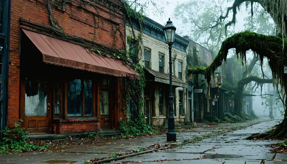
You can’t walk through Meyers Mill — the federal government erased it decades ago. What was once a thriving South Carolina community now lies buried beneath the restricted Savannah River Site, inaccessible behind federal boundary fencing. You can trace its ghost along SC-19 and US-278, where the perimeter roads offer quiet, haunting glimpses of empty federal land. The full story of how and why this town vanished is more extraordinary than you’d expect.
Key Takeaways
- Meyers Mill, located in Barnwell County, South Carolina, was erased after the U.S. Atomic Energy Commission acquired it in 1951, displacing 6,000 residents.
- The site now falls within the restricted Savannah River Site, making direct public access impossible due to federal security restrictions.
- Visitors can explore perimeter roads SC-19 and US-278, offering limited views of the restricted landscape and federal boundary signage.
- Spring and fall offer the best visiting conditions, with mild temperatures, clear skies, and low humidity enhancing visibility along approach routes.
- Nearby New Ellenton serves as a meaningful stop, housing displaced residents’ descendants and streets named after demolished towns like Meyers Mill.
The Lost Town of Meyers Mill
Tucked into the southwestern corner of Barnwell County, South Carolina, Meyers Mill was once a quiet community that took root when the Meyer family settled the area in the late 19th century, growing steadily after a train stop brought new life to the region.
Its historical significance lies not just in its growth, but in its abrupt erasure. In 1951, the U.S. Atomic Energy Commission acquired the land, displacing roughly 6,000 residents and relocating 6,000 graves to make way for the Savannah River Plant.
Meyers Mill vanished alongside Dunbarton, Ellenton, Hawthorne, Robbins, and Leigh. Community resilience carried survivors to New Ellenton and beyond, but the town itself left no trace.
Today, its nuclear legacy keeps the site locked behind federal security restrictions, forever inaccessible to the public.
Why Meyers Mill Was Erased From the Map
When the Cold War’s shadow stretched across America, few communities felt its grip more completely than Meyers Mill. In 1951, the U.S. Atomic Energy Commission seized this tight-knit South Carolina settlement, erasing it entirely to build the Savannah River Plant nuclear facility.
You’d struggle to imagine the scale of community displacement involved. Authorities relocated roughly 6,000 residents and moved an equal number of graves, uprooting families who’d built their lives here since the late 1800s.
Meyers Mill disappeared alongside Dunbarton, Ellenton, Hawthorne, Robbins, and Leigh — whole communities sacrificed for atomic energy infrastructure.
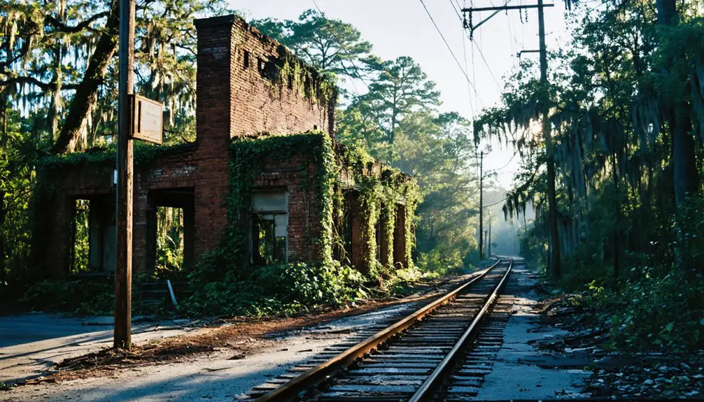
Nothing remains today. No foundations, no structures, no markers. Federal security restrictions now seal the site permanently from public access, leaving Meyers Mill as a ghost town you can only research, never revisit.
Where Exactly Was Meyers Mill Located?
Meyers Mill sat in the southwestern corner of Barnwell County, South Carolina, hugging the border with Aiken County at coordinates 33°10’06” N, 81°35’48” W.
Meyers Mill claimed its place in Barnwell County’s southwestern corner, pressed against the Aiken County line at 33°10’06” N, 81°35’48” W.
Its Meyers Mill geography placed it along a strategic rail corridor, giving the community both purpose and historical significance.
Today, that land falls entirely within the restricted Savannah River Site — ground you can’t freely walk anymore.
Here’s what defined its location:
- County position: Southwestern Barnwell County, near the Aiken County line
- Transportation access: Historically reachable via 2WD roads connecting to SC-19 and US-278
- Rail relevance: A deliberate train stop fueled the town’s early growth
- Current status: Federally restricted, visible only from the Savannah River Site perimeter
Freedom to explore this land no longer exists.
What Remains at the Meyers Mill Site Today
Knowing where Meyers Mill once stood only sharpens the disappointment of what you’ll find there now — which is nothing. The federal government didn’t just relocate this ghost town; it erased it completely.
When the U.S. Atomic Energy Commission acquired the land in 1951, workers demolished or buried every structure, every foundation, every trace of daily life. No walls stand. No chimneys rise from the weeds. The site’s historical significance exists only in records, memories, and the coordinates marking empty federal soil.
Worse, you can’t even walk the ground yourself. The Savannah River Site’s security restrictions put the land permanently off-limits to the public.
Meyers Mill doesn’t just belong to history — it belongs to the government, locked behind perimeter fences you’re not permitted to cross.
How Close Can You Get to the Meyers Mill Site Today?
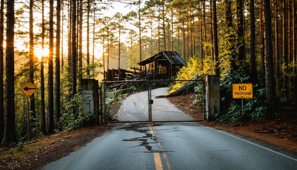
You can’t walk the old streets of Meyers Mill today—the entire site falls within the restricted boundaries of the Savannah River Site, a federal nuclear facility that keeps curious visitors firmly at arm’s length.
Your closest legal approach runs along the perimeter roads near SC-19 or US-278 near Aiken, where you can at least glimpse the fenced-off landscape that swallowed six communities whole.
If you’re determined to soak in the atmosphere, a drive along those outer roads pairs well with a stop in New Ellenton, the town built to house the very people the government displaced.
Federal Boundary Access Limits
Since Meyers Mill now lies within the heavily secured boundaries of the Savannah River Site, you can’t simply drive up to where the town once stood.
Federal boundaries and strict security measures block public access entirely, making this ghost town one you’ll experience through imagination rather than exploration.
You can, however, maximize your visit by understanding your limits:
- Approach along SC-19 or US-278 near Aiken to reach the site’s perimeter
- View the restricted tree line from public roads bordering the facility
- Photograph the federal boundary signage marking where civilian access ends
- Research the site’s coordinates — 33°10’06” N, 81°35’48” W — to orient yourself mentally
The land belongs to the federal government now, permanently off-limits to the freedom-seeking traveler.
Nearest Public Viewing Points
Standing at the edge of where civilian territory ends, the federal boundary signs themselves become your closest landmark — and from there, you’ll want to know exactly how near you can position yourself before the restricted perimeter cuts off any further approach.
SC-19 and US-278 near Aiken offer your best legitimate public access corridors, placing you at the Savannah River Site‘s outer perimeter without crossing federal lines.
From these roadways, you’re standing as close as civilian ground allows to a site of profound historical significance — a buried community silenced by Cold War ambition.
New Ellenton, just miles away, extends that story further. It’s where displaced Meyers Mill residents rebuilt their lives, making it an essential stop that grounds your road trip in real human consequence.
Perimeter Roads Worth Exploring
Tracing the perimeter roads closest to the Meyers Mill site means traversing a landscape where public asphalt quietly surrenders to federal authority. Your perimeter exploration hits clear boundaries, but meaningful vantage points remain accessible:
- SC-19 offers your closest legal approach from the northeast, skirting Savannah River Site edges.
- US-278 near Aiken provides western access, connecting you to the broader historical significance of this displaced region.
- New Ellenton’s outskirts let you orient yourself geographically toward where Meyers Mill once stood.
- Savannah River Site’s public boundary markers occasionally appear roadside, silently acknowledging restricted land beyond.
You won’t breach the fence, but understanding exactly where freedom ends sharpens your appreciation for what communities here permanently surrendered in 1951.
The Five Other Communities the Atomic Energy Commission Erased
Meyers Mill wasn’t the only community sacrificed for the Savannah River Plant. The Atomic Energy Commission erased five others alongside it — Dunbarton, Ellenton, Hawthorne, Robbins, and Leigh — each carrying its own ghost town history of families, businesses, and deep roots.
Community displacement on this scale was staggering: roughly 6,000 people were uprooted, and even 6,000 graves were relocated.
The displacement reached into the earth itself — 6,000 lives uprooted, 6,000 graves moved alongside them.
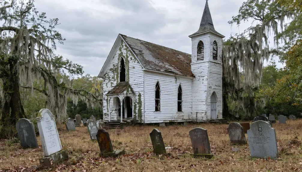
Ellenton’s story is perhaps the most documented, with residents eventually resettling in the newly created New Ellenton. That town makes an excellent companion stop on your road trip, offering a living demonstration of what federal power can demand from ordinary people.
None of these erased communities left visible remains — the government saw to that — but their absence speaks louder than any standing ruin ever could.
What New Ellenton Reveals About Where Meyers Mill’s Residents Went
When you pull into New Ellenton today, you’re fundamentally walking into the answer to a question Meyers Mill‘s displaced residents had to ask in 1951: where do we go now?
New Ellenton history lives in its deliberately constructed streets, built specifically to absorb relocation experiences from six erased communities.
Look for these revealing details:
- Streets named after demolished towns, honoring uprooted identities
- Churches rebuilt from relocated congregations, preserving community bonds
- Original residents’ descendants still living there, carrying generational memories
- Architectural styles reflecting hasty 1950s government-sponsored construction
New Ellenton didn’t grow organically — the government engineered it as a resettlement solution.
Walking those streets, you’re witnessing what forced displacement actually produces: a functional town carrying invisible grief beneath its ordinary surface.
Best Time to Visit the Savannah River Site Perimeter
You’ll find the most comfortable conditions for exploring the Savannah River Site perimeter during spring and fall, when South Carolina’s mild temperatures make outdoor visits far more bearable.
Summer’s brutal heat and humidity can turn a simple roadside stop into an exhausting ordeal, so you’re better off avoiding June through August entirely.
On a clear, cool day in October or March, you’ll get the sharpest sightlines toward the restricted boundary while staying comfortable enough to absorb the eerie stillness of what was once a living community.
Mild Weather Seasonal Windows
Since the Savannah River Site perimeter bakes under brutal South Carolina summers, timing your visit around spring or fall makes a real difference.
Smart seasonal weather choices and careful trip planning keep you comfortable while you explore this restricted federal boundary.
- Spring (March–May): Mild temperatures, blooming Carolina landscape, and manageable humidity create ideal conditions.
- Fall (September–November): Cooler air returns, foliage shifts dramatically, and oppressive heat finally breaks.
- Summer (June–August): Avoid if possible — extreme heat and humidity make roadside stops genuinely punishing.
- Winter (December–February): Passable but unpredictable; occasional frost can make rural access roads slippery near Aiken County.
You’ll move freely, linger longer at the perimeter fence, and actually absorb the haunting history surrounding vanished Meyers Mill.
Avoiding Intense Summer Heat
Knowing *when* to make the drive matters as much as knowing *where to stop* — and nowhere does that ring truer than along the Savannah River Site perimeter in high summer.
South Carolina’s brutal July and August temperatures make outdoor exploration genuinely punishing. You’ll want to arrive before 10 a.m., when the air still carries some mercy.
Meyers Mill’s story — the Meyer family’s quiet settlement, the train stop that built a community, the atomic energy takeover that erased it — deserves your full, unhurried attention.
Standing at the perimeter of this nuclear facility in oppressive heat won’t serve that reflection. Visit between October and April, when Southern culture slows beautifully and historical preservation feels personal.
Ghost towns reward patience; don’t let the summer sun steal yours.
Optimal Perimeter Viewing Conditions
When does the Savannah River Site perimeter reward a visitor most? Timing transforms ghost town exploration from ordinary to memorable.
- Spring (March–May): Mild temperatures and clear skies sharpen visibility along SC-19 and US-278 approach routes.
- Fall (September–November): Cooler air and lower humidity reveal the landscape’s haunting flatness, emphasizing Meyers Mill’s historical significance.
- Early Morning: Soft light reduces glare, lending an eerie atmosphere fitting for a vanished community.
- Weekdays: Less traffic along perimeter roads means quieter, more reflective viewing without distraction.
You’re standing at the edge of a restricted federal boundary, peering toward land that once held homes, graves, and lives.
Choose your timing deliberately — the site won’t let you inside, but the right conditions make the absence feel profoundly real.
Frequently Asked Questions
Can Visitors Obtain Special Permits to Access the Meyers Mill Site?
Over 6,000 people were displaced here. You can’t obtain special permits for ghost town exploration at Meyers Mill — federal restrictions lock it away. Its historical significance remains sealed behind the Savannah River Site’s tightly controlled, freedom-limiting boundaries.
Were Any Meyers Mill Residents Compensated for Their Displaced Properties?
The U.S. Atomic Energy Commission did compensate residents, though displacement impacts varied widely. You’d find that property rights weren’t fully honored, as many felt forced out, receiving minimal payments that couldn’t replace their deeply rooted community lives.
How Large Was Meyers Mill’s Population Before the 1951 Acquisition?
The exact Meyers Mill demographics aren’t documented, but you’ll find its historical significance lies within the 6,000 people uprooted across multiple towns. This small, freedom-loving community vanished entirely when the federal government claimed it in 1951.
Are Any Descendants of the Meyer Family Still Traceable Today?
The provided knowledge doesn’t confirm Meyer family genealogy details, but you can explore historical family connections through Barnwell County records, local archives, or genealogy platforms—they’ll help you trace descendants who once shaped Meyers Mill’s proud, pioneering legacy.
Did Any Meyers Mill Residents Refuse to Leave Their Homes?
Records don’t confirm residents who refused to leave, but ghost stories and resident accounts suggest deep heartbreak shadowed every forced departure. You’d feel that lingering grief, as 6,000 displaced souls surrendered their homes to federal authority in 1951.
References
- https://www.ghosttowns.com/states/sc/meyersmill.html
- http://sites.rootsweb.com/~scghostn/ellenton/ellenton.htm
- https://en.wikipedia.org/wiki/Meyers_Mill
- https://www.randomconnections.com/the-ghost-towns-of-lake-marion/
- https://www.facebook.com/groups/334387122817058/posts/530791629843272/
- https://en.wikipedia.org/wiki/List_of_ghost_towns_in_South_Carolina
- https://www.iheart.com/podcast/1323-carolina-ghost-towns-146261049/
- https://kids.kiddle.co/List_of_ghost_towns_in_South_Carolina
- https://carolinaghosttowns.podbean.com/e/ellenton-and-the-atomic-towns/