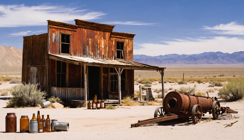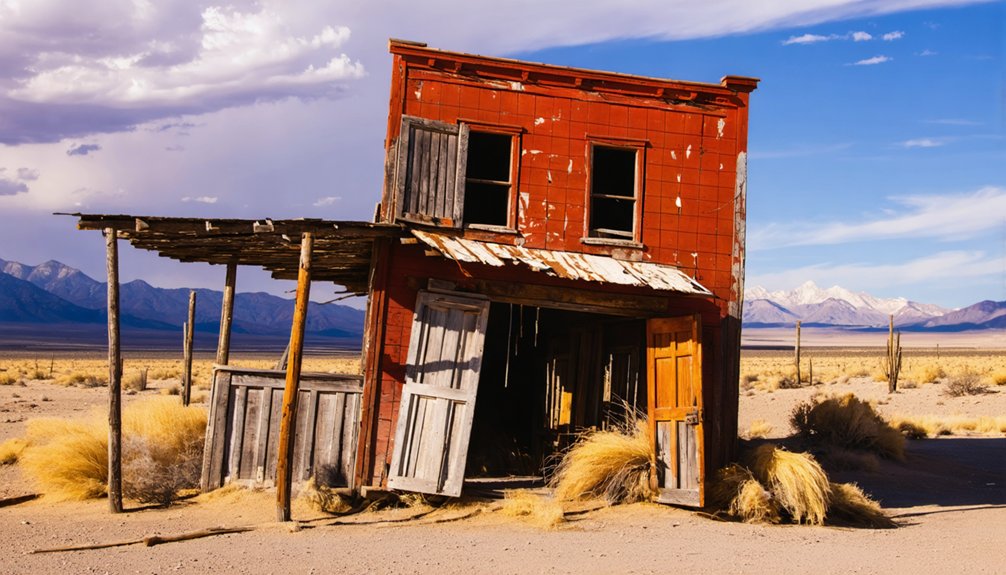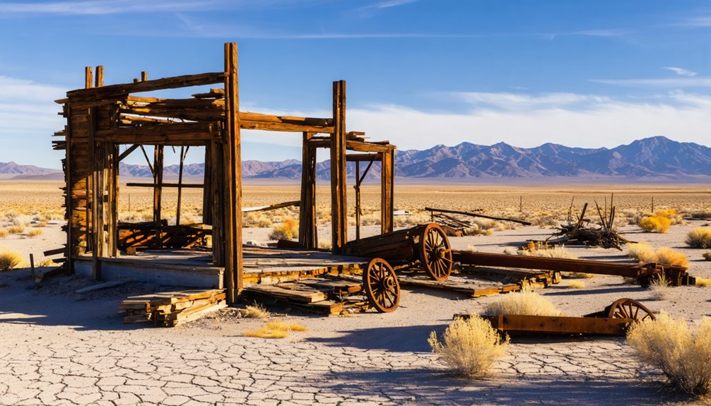
Planning a ghost town road trip to Ragtown, Nevada puts you face-to-face with one of the West’s most sobering landmarks. You’ll find this haunting site on Highway 50’s south side, about 8 miles west of Fallon, marked by Nevada State Historical Marker Number Nineteen. Once a lifeline for battered emigrants crawling out of the brutal 40 Mile Desert, Ragtown’s name alone tells a story of survival and sacrifice. There’s far more to uncover here than you’d expect.
Key Takeaways
- Ragtown is located on Highway 50, about 8 miles west of Fallon, Nevada, making it easily accessible without extensive rerouting.
- Two Nevada State Historical Markers on Highway 50’s south side commemorate Ragtown’s emigrant history and the grueling 40 Mile Desert crossing.
- Little original architecture remains, so expect open desert land rather than standing ghost town structures.
- Visit during spring or fall for mild weather; summer temperatures exceeding 100°F make outdoor exploration uncomfortable and potentially dangerous.
- Extend your road trip westward along Highway 50, stopping at Fallon, Lahontan Valley wetlands, and Middlegate ghost town.
What Is Ragtown, Nevada and Why Does It Matter?
Tucked eight miles west of Fallon along Highway 50, Ragtown stands as one of Nevada’s most historically significant ghost towns, marking the first water source exhausted emigrants reached after surviving the brutal 40 Mile Desert crossing on the Carson Trail.
Asa Kenyon established it as a trading post in 1854, and its unusual name carries local legends tied to tattered clothing emigrants scattered across the riverbanks after their grueling desert ordeal.
You won’t find surviving historic architecture here — only a Nevada State Historical Marker and open land remain.
Yet Ragtown’s significance runs deep. It served as Pony Express Station number 160, supported the 1863 Austin mining boom, and later transformed into a farming community called Leeteville.
For freedom-seeking road trippers, this site represents raw American resilience.
Where Exactly Is Ragtown Located on Highway 50?
Sitting on the south side of Highway 50, roughly eight miles west of Fallon, Ragtown‘s location is straightforward to find once you know what you’re looking for. You’ll spot two historical markers right across from the Fallon Livestock building, sitting at an elevation of 4,029 feet.
The coordinates — 39.5057° latitude, -118.9215° longitude — nail it precisely if you’re using GPS.
Unlike sites tied to mining history or railroad development, Ragtown earned its significance purely from emigrant survival. It was the first water stop after the brutal 40 Mile Desert crossing along the Carson Trail.
Today, the area feels like Fallon’s western outskirts rather than a remote ghost town, making it an easy, no-excuses stop you can hit without rerouting your entire road trip.
Why Settlers Called This Place Ragtown
The name “Ragtown” didn’t come from any official designation — it came from the sheer desperation emigrants wore on their bodies. After crossing the brutal 40 Mile Desert, survivors collapsed here, and the scene told its own story:
- Tattered clothing scattered across the ground
- Ragged garments draped over riverside bushes
- Exhausted travelers stripping ruined clothes after reaching water
- Fabric remnants marking the endpoint of an impossible crossing
That raw, unfiltered imagery carries deep cultural significance — it reminds you that freedom has always demanded sacrifice. These weren’t settlers romanticizing the frontier; they were survivors celebrating water and shade.
Today, preservation efforts keep this memory alive through historical markers along Highway 50, ensuring you understand exactly what this dusty patch of Nevada ground once meant to thousands pushing westward.
What Life Was Like for Emigrants After the 40 Mile Desert
After crossing the brutal 40 Mile Desert, you’d arrive at Ragtown utterly spent, your livestock dying, your water gone, and your supplies nearly exhausted.
The crossing punished emigrants with scorching heat, choking alkali dust, and zero water sources, pushing both people and animals to their absolute limits.
Ragtown’s trading post gave you your first real chance to rest, restock, and recover before tackling the Sierra Nevada ahead.
Desert Crossing Survival Challenges
Crossing the 40 Mile Desert stripped emigrants down to their rawest survival instincts — by the time they finally reached Ragtown, their clothes hung in tatters, their livestock teetered on the edge of collapse, and their water supplies had long since run dry. The desert demanded everything you had.
Emigrants faced brutal conditions that tested their resolve:
- Scorching heat that drained both human and animal strength
- Zero water sources across the entire expanse
- Abandoned wagons and dead livestock littering the trail
- Exhaustion so severe that collapse became a real threat
The cultural significance of Ragtown stems directly from these hardships. Preservation efforts at the site honor those who endured this crossing, reminding you that freedom on the frontier carried an enormous, often devastating price.
Ragtown’s Vital Resupply Role
Ragtown hit exhausted emigrants like a lifeline stitched together from river water, shade, and the smell of something — anything — other than alkaline dust. After surviving the brutal 40 Mile Desert, you’d have stumbled into Asa Kenyon’s trading post desperate for supplies, fresh water, and a moment to breathe.
Kenyon established this critical stop in 1854, knowing emigrants needed immediate resupply before tackling the Sierra Nevada ahead. You’d find food, basic goods, and a chance to rest livestock pushed beyond their limits.
Local legends describe emigrants draping tattered clothing over Carson River bushes — the very image that named this place. Today, preservation efforts have guaranteed two historical markers honor that desperate human need.
Ragtown wasn’t glamorous; it was survival made tangible.
The 1862 Flood That Exposed 200 Emigrant Graves
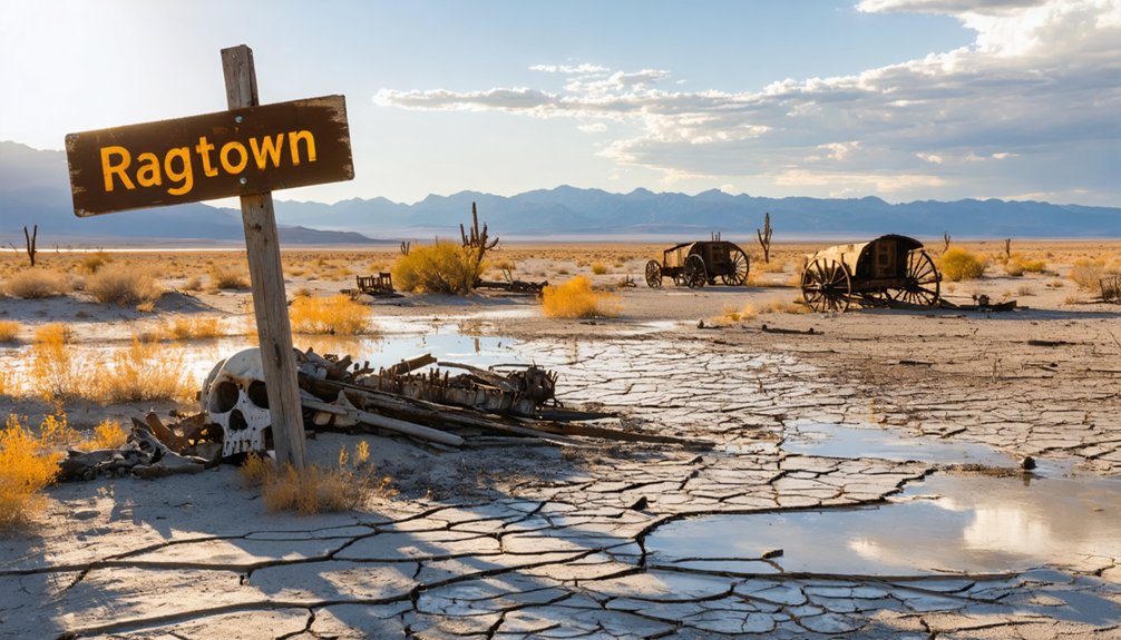
One of the most haunting chapters in Ragtown’s history unfolded in 1862, when a powerful flood tore through the area and unearthed approximately 200 emigrant graves. This grim discovery revealed the true human cost of westward migration.
As you stand at this site today, consider what those graves represent:
- Pioneers who survived the brutal 40 Mile Desert but never reached California
- Families who sacrificed everything pursuing freedom and opportunity
- Lives lost that underscore Ragtown’s deep cultural significance
- Silent testimonies to the raw danger of 19th-century overland travel
Preservation efforts guarantee this history isn’t forgotten. The Nevada State Historical Marker keeps their memory alive, reminding you that this seemingly quiet stretch of Highway 50 once witnessed extraordinary human struggle and sacrifice.
From Ragtown to Leeteville: A Town Renamed
By 1895, the scrappy trading post once known as Ragtown had quietly reinvented itself, adopting the name Leeteville as a farming community took root along the Carson River. The rough-and-tumble emigrant stop traded its dusty reputation for cultivated fields and settler ambitions.
By 1895, Ragtown had reinvented itself as Leeteville — trading dusty emigrant grit for cultivated fields and settler ambitions.
Leeteville even earned its own post office, operating from January 28, 1895 until June 15, 1907, signaling genuine community growth.
You won’t find surviving historical architecture today, but local legends still circulate about the determined farmers who transformed a weathered crossroads into something lasting.
The name change reflects a broader truth about the American West — places reinvent themselves as circumstances shift. Ragtown’s scrappy identity never fully disappeared, though. It outlasted Leeteville in historical memory, proving that colorful names carry their own stubborn power.
What Remains at the Ragtown Site Today
Though little survives of the original settlement, two historical markers on the south side of Highway 50 anchor the Ragtown site and give travelers something tangible to connect with. You’ll find these markers sitting right across from the Fallon Livestock building, making them easy to spot as you cruise through.
Here’s what you can expect at the site today:
- Nevada State Historical Marker number nineteen commemorates the location
- The site reflects layers of history, from emigrant trails to mining history and railroad development
- No original structures remain beyond a monument
- The area feels like Fallon’s western outskirts now
Don’t let the sparse surroundings disappoint you. Standing there, you’re connecting with a crossroads that shaped westward movement across one of Nevada’s most unforgiving stretches of desert.
How to Find Nevada State Historical Marker Number Nineteen
Finding Nevada State Historical Marker number nineteen is straightforward once you’re on Highway 50 heading west out of Fallon. Drive approximately eight miles and watch the south side of the road carefully. You’ll spot two markers sitting directly across from the Fallon Livestock building — that’s your landmark.
The site rests at 4,029 feet elevation, surrounded by open terrain where wildlife habitats blend into the high desert landscape.
Historical preservation efforts here are modest but meaningful; the markers tell Ragtown’s story where buildings once stood and emigrants once collapsed after surviving the brutal 40 Mile Desert crossing.
Pull over safely, read both markers, and take a moment. You’re standing at coordinates 39.5057° latitude, -118.9215° longitude — ground that witnessed thousands of westward journeys beginning in 1854.
Best Time of Year to Visit Ragtown
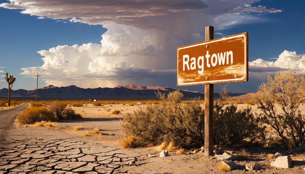
Spring and fall offer the most comfortable conditions for visiting Ragtown, when temperatures in Northern Nevada’s high desert stay mild and the landscape takes on its most dramatic character. You’ll appreciate the cultural significance of this emigrant waypoint far more when you’re not battling summer heat pushing past 100°F.
Plan your visit around these seasonal realities:
- Spring (March–May): Cool mornings, wildflowers, and clear skies make exploration genuinely enjoyable
- Fall (September–October): Crisp air and golden light enhance the historical atmosphere
- Summer: Extreme heat mirrors the suffering emigrants endured crossing the 40 Mile Desert
- Winter: Passable roads but harsh, unpredictable conditions
Preservation efforts depend on respectful visitors who treat the marker and surrounding site with care. You’re walking through living history, so go prepared.
Where to Go After Ragtown on the Highway 50 Ghost Town Route
Highway 50 earns its “Loneliest Road in America” nickname by stringing together ghost town after ghost town across Nevada’s high desert. Once you’ve paid your respects at Ragtown’s marker, the route westward rewards you with more abandoned history than most road trippers expect.
Push toward Fallon first for local cuisine — the town punches above its weight with rancher-friendly diners serving honest, filling meals.
Then head west through the Lahontan Valley, where wildlife observation opportunities surprise visitors. Migratory birds blanket the wetlands seasonally.
Continue along Highway 50 toward Middlegate, another storied desert stop with its own ghost town character.
Each mile westward reveals Nevada’s layered past — mining booms, emigrant trails, and forgotten communities that once meant survival in unforgiving terrain.
Frequently Asked Questions
Is There an Entrance Fee to Visit the Ragtown Historical Marker Site?
You’ll pay no entrance fee to visit Ragtown’s historical marker! It’s freely accessible along Highway 50. Practice proper visitor etiquette and respect this historical preservation site, honoring Nevada’s rich emigrant heritage as you explore freely.
Are Pets Allowed at the Ragtown Ghost Town Location Along Highway 50?
You’ll find no official pet policies or animal accommodations documented for Ragtown’s Highway 50 roadside marker. Since it’s an open, accessible outdoor site, you can likely bring your furry companion along for the adventure!
Can Visitors Take Photographs or Rubbings of the Ragtown Historical Markers?
You’re free to capture photographs of Ragtown’s historical markers anytime! For rubbings, check Nevada’s historical preservation guidelines first, as photography permissions typically differ from physical contact with protected markers. Snap away and document your adventure!
Is the Ragtown Site Accessible for Visitors With Mobility or Disability Challenges?
With 600+ ghost towns in Nevada, Ragtown’s flat Highway 50 roadside location offers you reasonable access, but there aren’t dedicated accessibility improvements or mobility assistance features — you’ll navigate natural terrain independently near the historical markers.
Are There Any Guided Tours Available Specifically for the Ragtown Ghost Town Site?
No formal guided tour options exist for Ragtown, but you’ll find private tour availability through local Nevada history groups. You’re free to explore the historic marker independently, embracing your own adventurous, self-guided ghost town experience on Highway 50.
References
- https://www.nvexpeditions.com/churchill/ragtown.php
- https://en.wikipedia.org/wiki/Ragtown
- https://travelnevada.com/ghost-town/
- https://www.destination4x4.com/ragtown-nshm-nevada-state-historic-marker/
- https://www.nevadaghosttownsandmininghistory.com/portfolio-2/ragtown
- https://kids.kiddle.co/Ragtown
- https://forgottennevada.org/sites/ragtown.html
- https://www.youtube.com/watch?v=WiQ-_sCF0sk