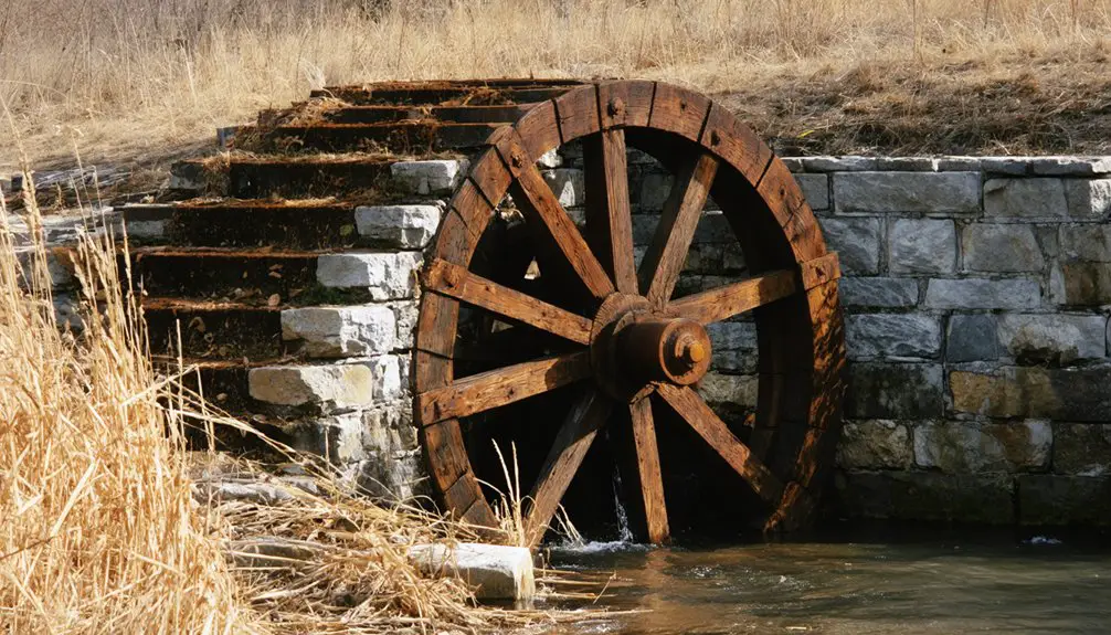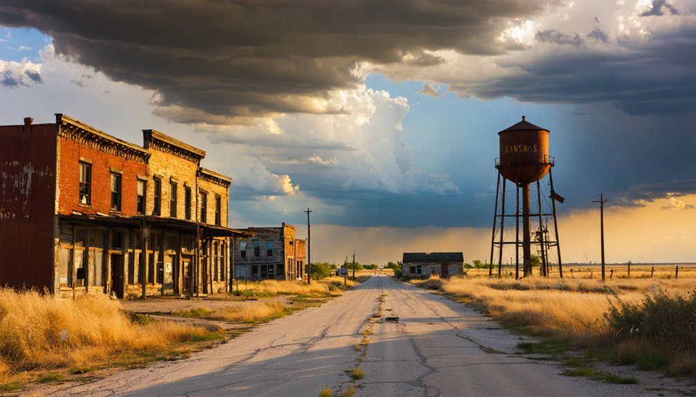
Planning a ghost town road trip to Stanton, Kansas starts in Osawatomie, where you’ll head northwest about seven miles toward Miami County’s western boundary along the Marais des Cygnes River. Bring offline maps, since cell service is spotty and rural roads can get rough after rain. Spring and fall offer the best visibility of remaining structures. High-clearance vehicles are smart choices. Stanton’s violent border-war past and railroad-era decline make it far more layered than it first appears.
Key Takeaways
- Stanton, Kansas, sits seven miles northwest of Osawatomie in Miami County, near the Marais des Cygnes River along the county’s western boundary.
- High-clearance vehicles are recommended, as roads may be unpaved or weather-damaged; download offline maps due to unreliable cell service.
- Visit in spring or fall for optimal visibility of remaining structures; winter access may be hindered by muddy, unpaved roads.
- Incorporate Stanton into a broader Miami County historical loop, starting near Osawatomie and following the Marais des Cygnes River corridor.
- Consult the Kansas State Historical Society and Miami County Historical Society for reliable records before your visit.
What Stanton, Kansas Actually Was: and What Remains
Before it faded into the Kansas landscape, Stanton was a legitimate frontier community with real ambitions. Founded in the summer of 1855 along the Marais des Cygnes River, it carried a sawmill, stores, and a blacksmith shop during its peak years. It played a real role in the Kansas-Missouri Border War, making it significant beyond simple historical preservation efforts.
What killed Stanton was straightforward — the railroad never came. By the early 1880s, fewer than 25 people remained. The post office closed in 1903.
When you visit today, you won’t find a ghost town frozen in dramatic ruin. Some structures still stand. Community legends linger in the landscape if you know where to look. This is a place worth finding on your own terms.
Where Stanton Sits and How To Get There
Stanton sits in Miami County, Kansas, about seven miles northwest of Osawatomie near the county’s western boundary, tucked along the Marais des Cygnes River. It’s also part of the broader Kansas City metropolitan area, so you’re not venturing into completely remote territory.
To reach Stanton, use Osawatomie as your launching point and head northwest. The roads are rural, so download offline maps before you go.
Once you arrive, you’ll find surviving historical architecture and quiet streets steeped in local legends tied to the Kansas-Missouri Border War.
This isn’t a developed tourist stop with signage and parking lots. You’re exploring on your own terms, reading the landscape for clues about what once stood here. That freedom is exactly what makes the trip worthwhile.
The Border War History That Shaped This Ghost Town
When you visit Stanton, you’re standing on ground that once sat at the center of one of America’s most violent pre-Civil War conflicts—the Kansas-Missouri Border War.
Pro-slavery “Border Ruffians” from Missouri clashed repeatedly with Free-State settlers across this region during the 1850s. Stanton’s position near the county’s western boundary put it directly in the path of that violence.
That tension shaped how the community grew, who settled here, and ultimately how fragile its early foundations turned out to be.
Kansas-Missouri Conflict Origins
Why does a quiet river settlement in eastern Kansas carry such a charged past? The answer lies in the Kansas-Missouri Border War, a brutal conflict that erupted when Congress passed the Kansas-Nebraska Act in 1854, leaving Kansas’s fate as a free or slave state open to settlers themselves. That decision sparked violent competition between pro-slavery Missouri forces and free-state settlers flooding across the border.
Stanton sat directly within this contested zone, making it far more than a simple frontier village. You’ll find local legends tied to raids, resistance, and survival woven into this landscape.
While preserved artifacts from that era remain scarce, the geography itself tells the story. Standing near the Marais des Cygnes River, you’re standing where freedom and oppression once collided violently.
Border War’s Local Impact
Few frontier settlements absorbed the Border War’s violence as directly as Stanton did. Sitting near the Kansas-Missouri boundary, it became a flashpoint where competing forces clashed over whether Kansas would enter the Union as free or slave soil. That tension didn’t just bring conflict — it actually accelerated community development, pushing early settlers to build faster, trade harder, and defend what they’d established.
When you visit today, you’re walking ground where those struggles played out in real time. Historical preservation efforts help keep that story alive, giving you context for why Stanton mattered beyond its small size.
The border war shaped its identity, drew settlers in, and ultimately left marks that outlasted the town’s active years. That history is exactly why this site still deserves your attention.
Why the Railroad’s Absence Killed Stanton’s Growth
Throughout the 1800s, the railroad wasn’t just a convenience for frontier towns—it was a lifeline. When rail lines bypassed Stanton, the town’s economic future effectively ended. Businesses couldn’t compete, goods became harder to move, and residents drifted toward better-connected communities.
By the early 1880s, Stanton’s population had dropped to roughly 25 people. Without rail access, the sawmill, stores, and blacksmith shop couldn’t sustain themselves long-term.
Ghost town preservation efforts today remind you that transportation shaped everything on the frontier.
When you visit, you’re walking through one of Kansas’s quiet historic landmarks—a place that thrived briefly, then faded simply because the railroad chose a different path. That single decision sealed Stanton’s fate more than any conflict ever could.
What You Can Still See at Stanton Today

Although Stanton never fully emptied out, what you’ll find today is a quiet, weathered reminder of frontier life rather than a polished historic site. Several houses and businesses still stand, offering glimpses of the community that once thrived along the Marais des Cygnes River during the Kansas-Missouri Border War.
Historical preservation here isn’t formal or curated — you’re reading the landscape itself.
Don’t expect visitor facilities like restrooms, signage, or guided tours. Stanton functions as a small, living historic community, not a developed destination.
Bring your own water, do your research beforehand, and approach the site with curiosity rather than expectation.
That freedom to explore on your own terms is exactly what makes stops like Stanton worth adding to your Kansas ghost-town road trip.
How To Build a Miami County Ghost Town Road Trip
Stanton works best when it’s one stop on a longer loop rather than a destination you drive to and back from alone. Miami County holds several early 1850s settlements tied to border-war conflict, local legends, and historical preservation efforts worth exploring.
Stanton rewards the curious traveler most as one stop on a longer Miami County loop.
Start your loop near Osawatomie, just seven miles southeast of Stanton, where John Brown’s history runs deep. From there, follow the Marais des Cygnes River corridor and pick up smaller community sites scattered along Miami County’s western edge.
You’ll cover frontier-era stories, riverside landscapes, and ghost-town remnants without doubling back. Bring a paper map alongside your phone, since rural Kansas roads can drop signal fast.
Plan for a full day, travel light, and keep your schedule flexible enough to stop wherever history pulls you.
Best Time of Year To Visit Stanton and Nearby Ghost Towns
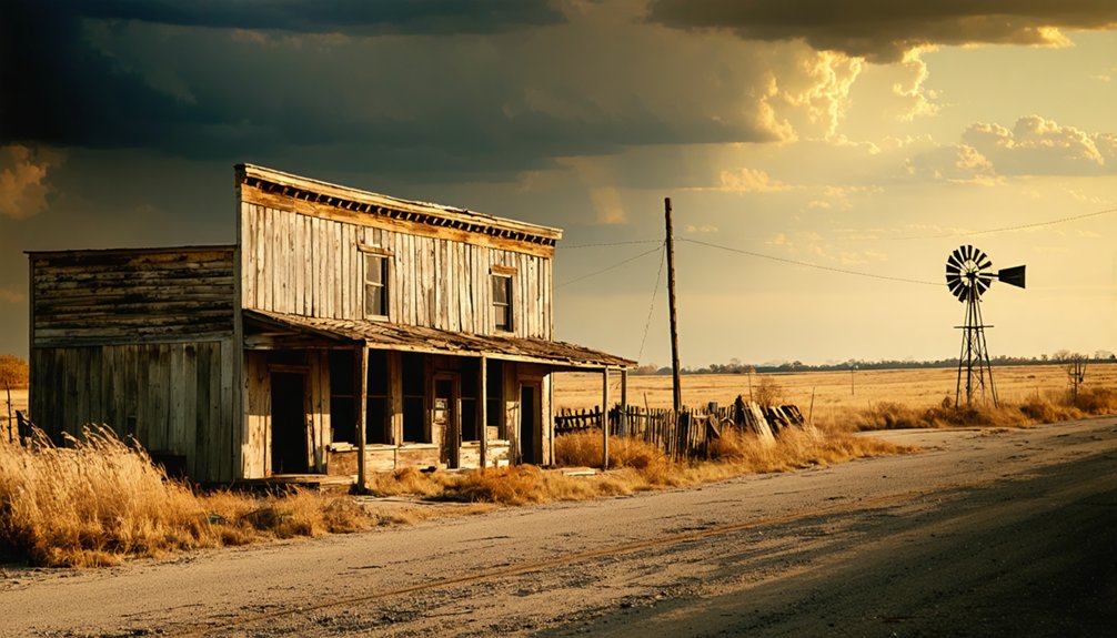
Timing your visit to Stanton and Miami County’s ghost-town sites makes a real difference in what you’ll see and how comfortable the experience feels. Spring and fall offer the clearest views of remaining structures, since overgrowth hasn’t yet swallowed the landscape. You’ll move freely through the site without summer’s thick vegetation blocking your sightlines or humid heat slowing you down.
Fall visits connect you more directly to the cultural significance of this border-war community, when the quiet landscape mirrors its faded but weighty history. Winter works if you prefer solitude, though muddy river-bottom roads can limit access.
Whenever you go, research preservation efforts in the area beforehand, since ongoing work occasionally affects site access. Weekday visits typically give you the undisturbed exploration this kind of trip deserves.
Site Access, Road Conditions, and Sources Worth Checking First
Stanton sits near Miami County’s western boundary, and you’ll reach it by taking rural county roads northwest of Osawatomie roughly seven miles. So checking a current Kansas road map or GPS app before you leave saves you a frustrating detour.
Because the community is unincorporated and functions as a small historic site rather than a developed tourist stop, you’ll want to confirm current access conditions before assuming the roads are paved or well-maintained.
Kansas ghost town forums, the Miami County historical society, and state historical records all give you reliable background on what’s still standing and what to realistically expect when you arrive.
Reaching Stanton By Road
Because Stanton sits near Miami County’s western boundary along the Marais des Cygnes River, you’ll want to map your route carefully before heading out.
The community lies roughly 7 miles northwest of Osawatomie, placing it well outside any urban development or modern amenities.
You won’t find gas stations, convenience stores, or paved shortcuts once you leave the main roads behind.
Rural county roads lead you in, and their conditions can shift depending on the season and recent weather.
Check current road conditions through Kansas DOT or county resources before you go.
A high-clearance vehicle gives you more flexibility on unpaved stretches.
Download offline maps as a backup since cell service can be unreliable in this part of Miami County.
Arriving prepared makes the difference between a smooth visit and a frustrating detour.
Current Site Access Conditions
Once you’ve mapped your route to Stanton, checking current site access conditions should be your next step before committing to the drive. Stanton isn’t a developed tourist destination, so road conditions near the Marais des Cygnes River can shift seasonally, especially after heavy rains.
Some structures still stand, reflecting quiet preservation efforts by those who respect the site’s border-war legacy and local legends tied to its frontier past. Before you go, check Miami County road updates and Kansas ghost town forums for recent visitor reports.
Satellite maps help you confirm whether access points remain passable. You’ll want to move through the area respectfully, since remaining buildings sit within an active rural landscape rather than a managed historic park.
Preparation keeps your visit smooth and your freedom intact.
Helpful Research Sources
Before you head out, pulling together reliable research sources saves you from wasted miles and locked gates. The Kansas State Historical Society keeps detailed records on Stanton’s historic significance, including its border-war role and early settlement years. Their online databases let you dig into Miami County’s frontier past before you ever leave your driveway.
Ghost town directories and Kansas county history archives often document community preservation efforts and flag whether structures still stand. Cross-reference those with current satellite imagery on Google Maps to spot road conditions and access points.
Local Miami County historical groups sometimes maintain updated site information worth checking. Reach out directly when possible—locals know what no database captures. Stack your sources, confirm current access, and you’ll arrive prepared rather than disappointed.
Frequently Asked Questions
Who Were the Earliest Known Settlers to Arrive in Stanton?
You’ll find that S. H. Houser, Dr. Winans, B. E. Briant, C. B. Tipton, and Charles Rice shaped Stanton’s historical architecture and local legends as its earliest known settlers, blazing trails for freedom-seekers everywhere.
What Year Did Stanton’s Post Office Officially Close?
Stanton’s post office officially closed on November 14, 1903—over 46 years after opening. As you explore ghost town tourism and historic landmarks, you’ll find this closure marked a defining moment in Stanton’s fascinating frontier decline.
Was Stanton Named After Its Founder or Someone Else?
You’ll find that Stanton was named after its founder, H.B. Standford, honoring his legacy through historic preservation efforts. As you explore ghost town tourism, you’re connecting directly with the visionary who built this remarkable frontier community.
What Businesses Operated in Stanton During Its Peak Years?
At Stanton’s peak, you’d find a sawmill, several stores, and a blacksmith shop thriving amid historic mining ventures and local legends, painting a vivid frontier portrait of raw independence and bold community spirit.
What Was Stanton’s Reported Population by 1910?
You’ll uncover a surprising twist in Stanton’s story — by 1910, its reported population reached 160, hinting at historical architecture still standing and local legends waiting to be discovered long after its quiet, inevitable decline.
References
- https://www.jimwitkowski.com/blog/stanton-the-outlaw-ghost-town/
- https://legendsofkansas.com/stanton-kansas/
- https://en.wikipedia.org/wiki/Stanton_County
- https://legendsofkansas.com/kansas-ghost-town-list/
- https://www.youtube.com/watch?v=WwkBPVxO1vc
- http://www.ksgenweb.org/archives/1912/s/stanton.html
- https://en.wikipedia.org/wiki/Stanton
- https://ksgenweb.org/KSStanton/histories.html
- https://www.youtube.com/watch?v=8dtIPX7pIqI