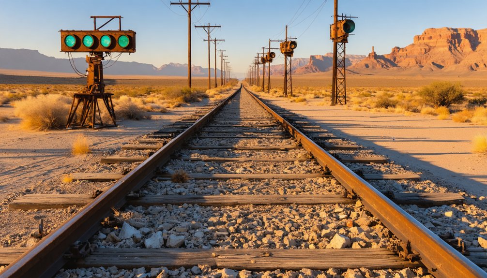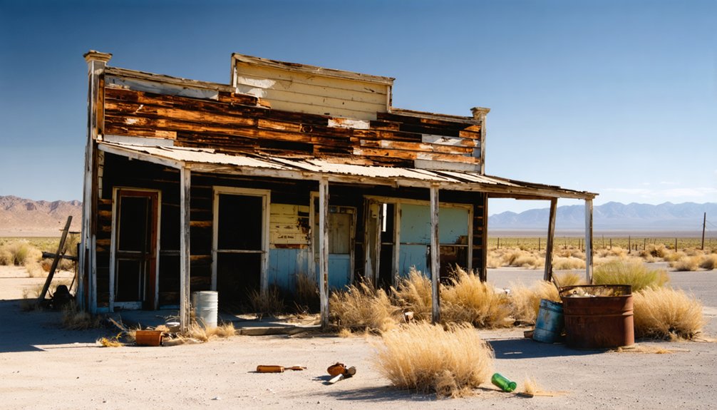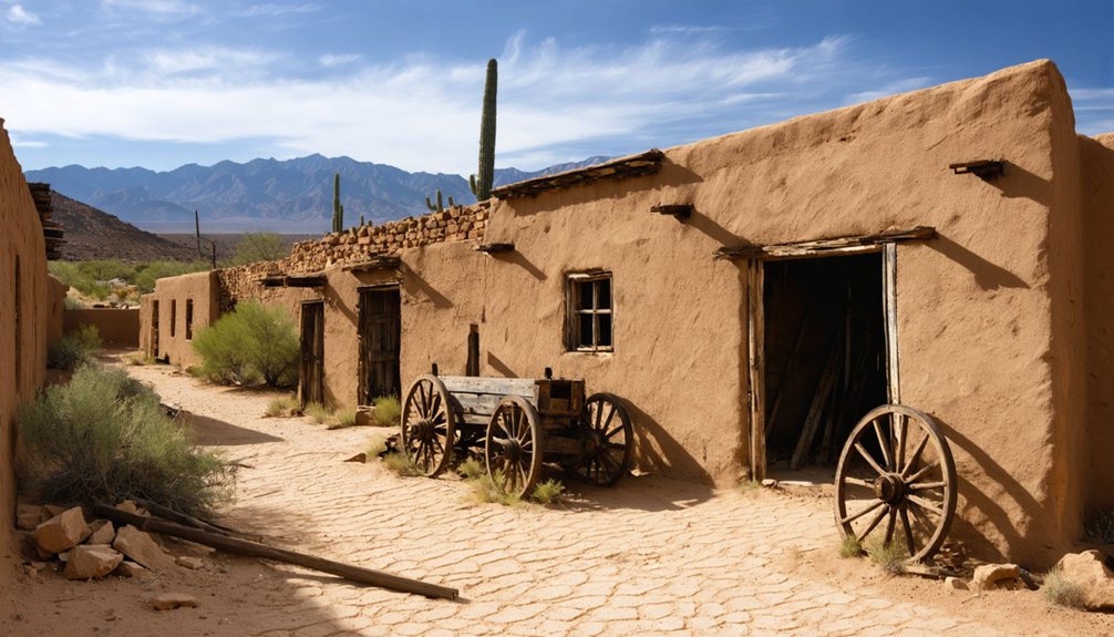
Planning a ghost town road trip to Stanwix Station means following the Gila River corridor west from Gila Bend along Interstate 8 and its frontage roads into open, sun-baked desert. You won’t find preserved ruins or markers here — just wide, silent landscape carrying layers of frontier history dating back to 1858. Bring extra water, high-clearance wheels, and printed coordinates. Visit between October and March for bearable temperatures. There’s far more to this remote site’s story than first appears.
Key Takeaways
- Stanwix Station is accessible via Interstate 8 and frontage roads west of Gila Bend, following the Gila River corridor.
- No preserved structures, markers, or ruins exist; visitors experience history through landscape and atmosphere alone.
- Visit between October and March to avoid dangerous summer temperatures exceeding 110°F.
- Bring ample water, use high-clearance vehicles, and carry printed maps due to minimal signage.
- Research 1860s military records and Arizona Historical Society archives beforehand to enrich your visit.
What Was Stanwix Station?
Though it’s little more than a memory now, Stanwix Station once served as a vital waypoint along the sun-scorched Gila River corridor of southwestern Arizona, shifting identities almost as often as the desert winds shifted sand.
Stanwix Station is little more than a memory now — a ghost of the sun-scorched Gila River corridor.
Starting as Flap Jack Ranch in 1858, it became Grinnell’s Ranch by 1862, then Stanwix Station — each name reflecting a new chapter of frontier use.
You won’t find preserved historical architecture here, but the site’s layered past tells a compelling story.
Stage coaches, military telegraph lines, and railroad development all claimed Stanwix in succession.
The Southern Pacific eventually placed a station bearing the Stanwix name roughly seven miles away.
What remains today is practically invisible — yet the history embedded in this stretch of Arizona desert is anything but forgotten.
How Stanwix Station Changed Names Between 1858 and 1862
When you trace Stanwix Station’s history back to its roots, you’ll find it started as Flap Jack Ranch in 1858, a humble waypoint along the rugged overland route through Arizona Territory.
By 1862, the site had shed that identity and picked up two new ones — Grinnell’s Ranch and Stanwix Ranch — reflecting its growing role as both a ranching stop and a frontier transportation hub.
That rapid name-shifting over just four years tells you something important: this was a place that kept reinventing itself to serve whoever needed it most.
Flap Jack Ranch Origins
Before it ever carried the name Stanwix, this remote desert outpost started life in 1858 as Flap Jack Ranch, a humble waypoint along the sun-scorched corridor of the Gila River in what’s now Yuma County, Arizona. Cattle ranching shaped its earliest identity, giving travelers and drovers a place to rest before pushing deeper into the unforgiving Sonoran Desert.
You’re looking at a site that existed long before railroad development stitched the Southwest together, when overland routes demanded rough, self-sufficient stops like this one. The ranch served a practical frontier need, nothing glamorous, just survival infrastructure in harsh terrain.
Renaming To Stanwix Station
By 1862, the site you now know as Stanwix Station had already worn two other names, cycling through identities as quickly as the frontier itself shifted. What started as Flap Jack Ranch in 1858, rooted in cattle ranching and desert survival, became Grinnell’s Ranch by 1862, reflecting the changing hands that the frontier demanded.
Shortly after, it earned the Stanwix name, cementing its place along the overland corridor. Each rename tracked a broader transformation — from isolated ranching outpost to active waypoint serving travelers, soldiers, and eventually telegraph lines stretching from San Diego across Arizona Territory.
You’re not just tracing a name when you research this place; you’re following a site that reinvented itself repeatedly, shaped by whoever needed it most at that moment.
The Civil War Skirmish That Made Stanwix Station Historic
How does a remote desert waypoint earn its place in Civil War history? On March 29, 1862, Stanwix Station witnessed the westernmost skirmish of the entire Civil War.
Captain William P. Calloway led 272 California Column troops forward, only to encounter Confederate forces under 2nd Lt. John W. Swilling burning hay stockpiled for Union horses.
The Confederates retreated toward Tucson after causing one Union injury. It wasn’t a large engagement, but its strategic weight was undeniable.
The intelligence gathered here shaped Confederate defensive preparations, including those preceding the Battle of Picacho Pass.
For anyone passionate about Civil War battles and historical preservation, standing on this ground connects you directly to a forgotten but genuine turning point.
The desert keeps its secrets — you just have to seek them out.
Where Stanwix Station Stands Today
If you make the trip out to Stanwix Station today, you’ll find little more than open desert along the Gila River corridor in Yuma County, Arizona — the original structures are gone, and no preserved ruins mark the spot.
The site sits near the old overland highway route, making it reachable by road, but you’ll need to approach it as a historical waypoint rather than a standing landmark.
Bring a map, a sense of frontier history, and realistic expectations, because the ground itself is the artifact here.
Current Site Conditions
Though Stanwix Station once hummed with the activity of stagecoaches, telegraph lines, and railroad stops, you’ll find almost nothing standing there today.
Historical preservation efforts haven’t reached this remote stretch of Yuma County, leaving the site raw and unadorned. It’s not among polished tourist attractions, but that rugged honesty is precisely the point.
Here’s what to expect when you arrive:
- Flat, open desert terrain with minimal visible ruins
- No markers, fencing, or maintained pathways
- Sparse traces of the old Gila River corridor route
- A landscape unchanged by commercial development
- Wide, unfiltered views that echo the frontier isolation travelers once endured
You’re fundamentally reading the land itself.
Bring your research, trust your coordinates, and let the silence tell the story.
Getting There Today
Reaching Stanwix Station means maneuvering a remote stretch of southwestern Arizona where Yuma County’s desert sprawl leaves little room for error. Follow the Gila River corridor west from Gila Bend, keeping Interstate 8 as your primary guide.
Exit onto older frontage roads where the highway briefly echoes the original overland route. You won’t find markers celebrating the site’s cultural significance, and preservation efforts here are fundamentally nonexistent, so navigation tools and printed historical maps become essential gear.
The terrain is flat but unforgiving, with heat, dust, and isolation testing your preparedness. A high-clearance vehicle helps if you’re pushing off paved surfaces.
Arrive with full water supplies, a charged phone, and realistic expectations. Freedom out here means self-reliance, not convenience.
What Survives at Stanwix Station (And What Doesn’t)
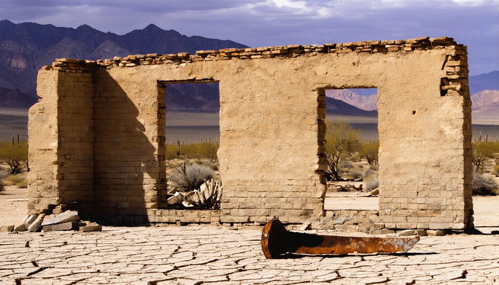
When you pull off to find Stanwix Station, the landscape tells you most of what you need to know: the desert doesn’t preserve what people leave behind. Historical preservation efforts here are minimal, and archaeological findings remain sparse. Still, knowing what’s gone sharpens your appreciation for what happened here.
What you’ll encounter:
- Flat, open desert terrain where the original station once operated
- No standing structures from the 1862 stage stop era
- A landscape layered with stage, telegraph, rail, and highway history
- Roadside context clues if you’ve done your research beforehand
- The quiet weight of knowing you’re standing near the Civil War’s westernmost skirmish point
Come expecting atmosphere, not ruins. Stanwix rewards the historically curious traveler who finds meaning in absence.
Gila River Stage Stops Worth Pairing With a Stanwix Station Visit
Stanwix Station makes more sense when you place it within the larger chain of stops that kept travelers, soldiers, and mail runners moving across the Sonoran Desert. The Gila River corridor once held a string of these waypoints, each carrying its own cultural significance as a node of commerce, survival, and westward momentum.
Stations like Oatman Flat, Maricopa Wells, and Gila Ranch shaped the same overland route that passed through Stanwix. Pairing these sites deepens your understanding of how fragile and interdependent frontier travel actually was.
Preservation challenges affect nearly all of them — erosion, neglect, and development have erased most physical evidence. But the route itself remains drivable, and connecting these dots transforms a single ghost-town stop into a fuller, more honest picture of life along the territorial corridor.
When to Visit Stanwix Station and the Yuma County Desert
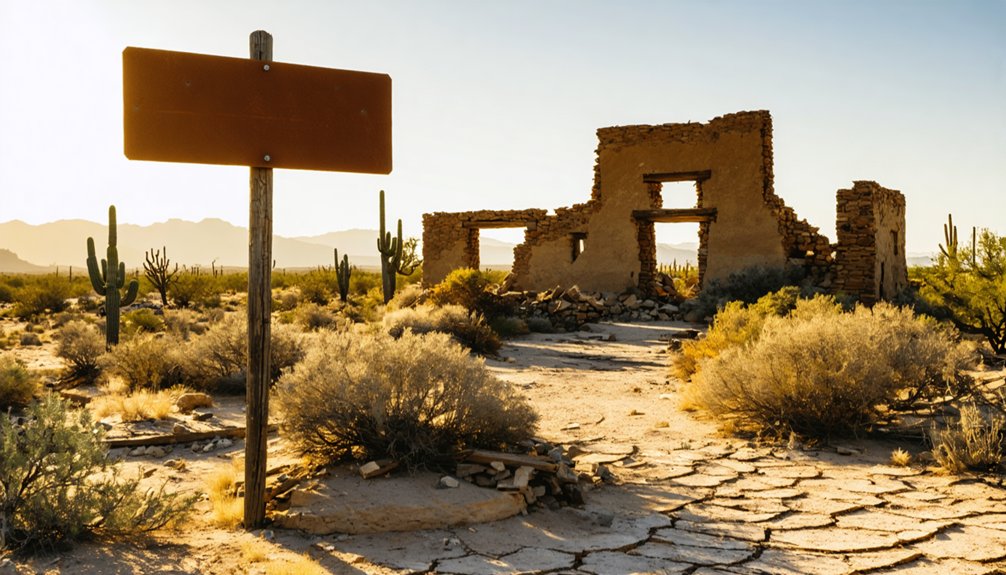
Timing your visit to this corner of Yuma County matters more than it does for most ghost-town destinations. The Sonoran Desert rewards the prepared traveler and punishes the careless one.
The Sonoran Desert plays no favorites — come prepared, or don’t come at all.
Best conditions for exploring Stanwix Station:
- October through March offers cooler temperatures ideal for outdoor exploration
- Spring wildflowers briefly transform desert flora into something unexpectedly vivid after wet winters
- Dawn hours give you the best chances of spotting local wildlife before heat drives everything into shade
- Summer months regularly exceed 110°F — avoid them entirely unless you’re experienced with extreme desert conditions
- Weekday visits mean fewer highway interruptions along the Gila River corridor
You’ll want sturdy footwear, extra water, and sun protection regardless of season.
This landscape doesn’t compromise, but it rewards everyone who respects it.
Maps, Archives, and Sources That Document Stanwix Station
Once you’ve settled on the right season to visit, the next step is figuring out where the historical record actually places Stanwix Station — because the ground won’t tell you much on its own. Historic maps from the 1860s overland route trace the Gila River corridor precisely enough to orient you.
The National Archives holds military records documenting the California Column’s March 1862 advance, including references to Grinnell’s Ranch and Stanwix Station by name. Archival photographs are rare but worth hunting through Arizona Historical Society collections.
The Arizona State Library also maintains territorial-era survey documents. Cross-referencing these sources against modern satellite imagery gives you the clearest fix on the site’s actual location.
You’re fundamentally doing detective work — and that freedom to piece it together yourself is half the experience.
Frequently Asked Questions
Was Stanwix Station Ever Featured in Books or Documentaries?
Yes, you’ll find Stanwix Station referenced in Civil War histories and ghost town history accounts. Its railroad architecture legacy and frontier significance appear in regional documentaries and books exploring Arizona’s vanished stops along freedom-seeking overland routes.
Are There Guided Tours Covering the California Column Route?
You’ll find guided tours tracing the California Column route, weaving historical reenactments and local legends into vivid frontier stories. They’ll ignite your adventurous spirit, letting you follow soldiers’ dusty footsteps across Arizona’s wild, untamed landscape toward Stanwix Station.
Is the Stanwix Station Site on Private or Public Land?
The land status isn’t clearly documented, so you’ll want to verify before visiting. Historical preservation efforts are minimal here, and visitor accessibility remains uncertain—research local records to confirm you’re free to explore this vanished frontier waypoint legally.
Were Any Women or Civilians Present During the 1862 Skirmish?
The records don’t confirm any women involvement or civilian witnesses during the 1862 skirmish. You’re looking at a swift, isolated military clash — Confederate soldiers burning hay, Union troops advancing, and a frontier gone suddenly, violently alive.
No, it didn’t! The Southern Pacific’s railroad history placed its Stanwix station roughly seven miles away, giving it a separate address. You’ll find that historical architecture and postal boundaries rarely followed the frontier’s shifting, freedom-chasing footsteps.
References
- https://www.youtube.com/watch?v=zNsGNbsIQSc
- https://beyond.nvexpeditions.com/arizona/yuma/stanwix.php
- https://www.facebook.com/groups/azfamilyweather/posts/2187006338414789/
- https://en.wikipedia.org/wiki/List_of_ghost_towns_in_Arizona
- https://en.wikipedia.org/wiki/Agua_Caliente
- https://en.wikipedia.org/wiki/Stanwix