Planning a ghost town road trip to Castleton, Utah means heading northeast of Moab into raw Castle Valley desert, where an 1888 gold rush boomtown sits abandoned across five weathered acres. You’ll need a high-clearance or 4WD vehicle, reliable maps, and plenty of water since cell service disappears fast out here. Spring and fall give you the best road conditions and light. Everything you need to explore this forgotten frontier is just ahead.
Key Takeaways
- Visit Castleton Ghost Town in spring or fall for optimal weather, photography lighting, and safer road conditions along the rugged desert terrain.
- Access the site via an unmarked dirt road off Highway 128, northeast of Moab, approximately 10 miles from the turnoff.
- Use GPS coordinates 38.343°N, -109.666°W and bring detailed maps since signage is minimal and cell service is unreliable.
- A high-clearance or 4WD vehicle is strongly recommended to navigate washouts, loose gravel, and unpredictable desert road conditions.
- Pack ample water, safety gear, and maps, as the remote BLM-managed site offers no tourist amenities or nearby services.
Why Castleton Utah Is Worth the Remote Drive
Tucked into the rugged terrain of Castle Valley, Castleton rewards the adventurous traveler with something most roadside attractions can’t offer: genuine historical atmosphere untouched by tourist polish. Its historical significance runs deep — gold discoveries in 1888 built a town that once rivaled Moab, complete with saloons and storefronts.
By 1967, it was gone, leaving only weathered ruins across five acres of high desert silence.
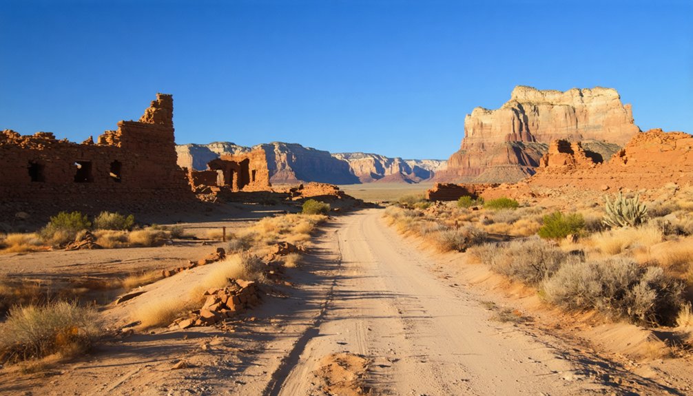
You’ll find photographic opportunities around every crumbling wall, where dramatic La Sal Mountain backdrops meet frontier-era remnants in natural light. No crowds, no gift shops, no guardrails. Just raw landscape and honest history.
The remote drive along Highway 128 and rough dirt roads isn’t a drawback — it’s the point. Castleton earns its reward by asking something of you first.
Best Time To Visit and What the Roads Actually Demand
Spring and fall give you the clearest window for reaching Castleton without fighting extremes — summer heat in the canyon country can turn a rough dirt road into a genuine endurance test, while winter snowpack on the La Sal Mountain Loop Road can close access entirely.
Spring and fall open the road to Castleton — summer bakes it shut, winter buries it entirely.
April through early June and September through October deliver manageable temperatures, better light for photography, and active local wildlife like mule deer and raptors moving through Castle Valley.
Golden-hour light in fall saturates the red rock ruins beautifully, so bring a wide-angle lens and arrive early.
Expect washouts, loose gravel, and stretches demanding high-clearance or 4WD regardless of season.
Check road conditions before you leave Moab, carry detailed maps, and don’t rely on cell service once you turn off Highway 128.
How To Find the Castleton Ghost Town Site
Finding Castleton means committing to a route that doesn’t advertise itself. From Moab, take Highway 128 northeast and watch for the unmarked dirt road branching toward Castle Valley. The site sits roughly 10 miles from that turnoff, so load the coordinates — 38.343°N, -109.666°W — before you leave pavement behind. High-clearance or 4WD vehicles handle washouts far better here.
Once you arrive, you’re standing among historical landmarks that the Bureau of Land Management quietly stewards across about 5 acres. Ruins from the 1880s mining era still break the skyline.
For photography tips, come during golden hour — the desert light carves texture into crumbling walls beautifully. Bring a printed map, a compass, and water. Minimal signage means your preparation determines whether you find it.
What Survives at the Ruins and What the Site Covers
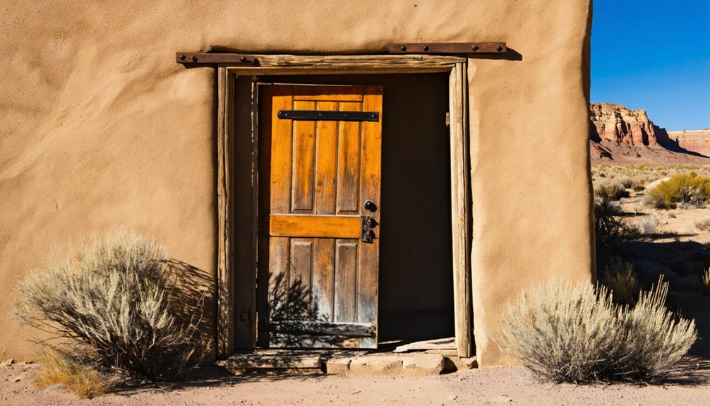
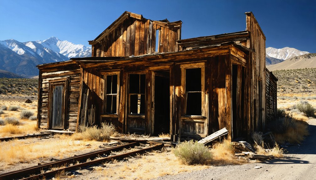
Although the site covers only about 5 acres, what remains at Castleton carries the full weight of an 1880s mining boom. You’ll find abandoned ruins scattered across the high desert terrain, each structure a quiet record of the saloons, shops, and ambition that once defined this frontier settlement.
Five acres of high desert hold the full weight of an 1880s mining boom — saloons, shops, and shattered ambition.
The mining remnants speak directly to the gold rush energy that peaked in 1888 and drew crowds rivaling nearby Moab.
The Bureau of Land Management oversees ruins preservation here, keeping the site protected without sanitizing it. Nothing’s been rebuilt or staged for tourists, so what you’re seeing is authentic decay shaped by over a century of wind and silence.
Bring your curiosity and your coordinates — 38.343°N, -109.666°W — and let the landscape tell its own story.
What To Bring for a High-Clearance Desert Ghost Town Trip
Getting to those ruins takes more than curiosity and coordinates — the dirt roads branching off Highway 128 can throw washouts, rough patches, and zero signage at you without warning. Pack your essential gear before you leave pavement behind.
Your safety essentials start with enough water for the full round trip — desert heat punishes the underprepared fast. Bring a detailed map and a compass, because cell service won’t save you out here. Write down the coordinates, 38.343°N, -109.666°W, before you go.
A flashlight handles anything that runs long. Your vehicle should have high clearance or 4WD — that’s non-negotiable on these roads. Spring or fall travel reduces your heat risk markedly.
Respect the remoteness, move prepared, and the ruins reward you.
Frequently Asked Questions
Is Castleton Ghost Town Legally Open to the Public for Visits?
Like an open door to history, yes, you can legally visit Castleton — the BLM manages it publicly. Haunted legends aside, preservation efforts protect the site, so you’re free to explore responsibly.
How Does Castleton’s History Compare to Other Southeastern Utah Ghost Towns?
Castleton’s mining history mirrors many southeastern Utah ghost towns — you’ll find bold settlement origins rooted in gold rushes, boom-bust cycles, and frontier grit. It thrived in the 1880s, rivaling Moab before economic collapse claimed it.
Can Castleton Be Combined With Nearby National Parks in One Trip?
Under vast crimson skies, you can weave Castleton’s historical preservation into a loop with Arches or Canyonlands, seizing stunning photography opportunities among ancient red rock landscapes, ghost town ruins, and boundless wilderness that’ll feed your adventurous spirit.
Are There Any Guided Tours Available for the Castleton Ghost Town Site?
No verified guided tours exist for Castleton, but you’ll find freedom exploring its haunting ruins independently. Bring your camera for ghost town photography, chase local ghost stories, and let the raw, untamed desert landscape speak directly to you.
How Long Should Visitors Plan to Spend Exploring the Castleton Ruins?
Plan for 1–2 hours to fully enrich your visitor experience among Castleton’s haunting ruins. You’ll want enough exploration duration to wander the 5-acre site, absorbing the raw, untamed spirit of this forgotten frontier mining landscape.
References
- https://www.onlyinyourstate.com/trip-ideas/utah/road-trip-ut-ghost-towns
- https://en.wikipedia.org/wiki/Castleton
- https://www.visitutah.com/things-to-do/history-culture/ghost-towns
- https://www.youtube.com/watch?v=JDIhYM_i-vU
- https://www.onlyinyourstate.com/trip-ideas/utah/abandoned-places-road-trip-ut
- https://www.deseret.com/utah/2023/1/21/23549285/utah-ghost-towns-mormon-history/
- https://x.com/i/grok/share/ABEvnMY8NC4da16h0ndNJqylY
- https://kslnewsradio.com/all-news/utah-ghost-towns/1947650/
- https://435locals.com/ghost-towns-near-zion/