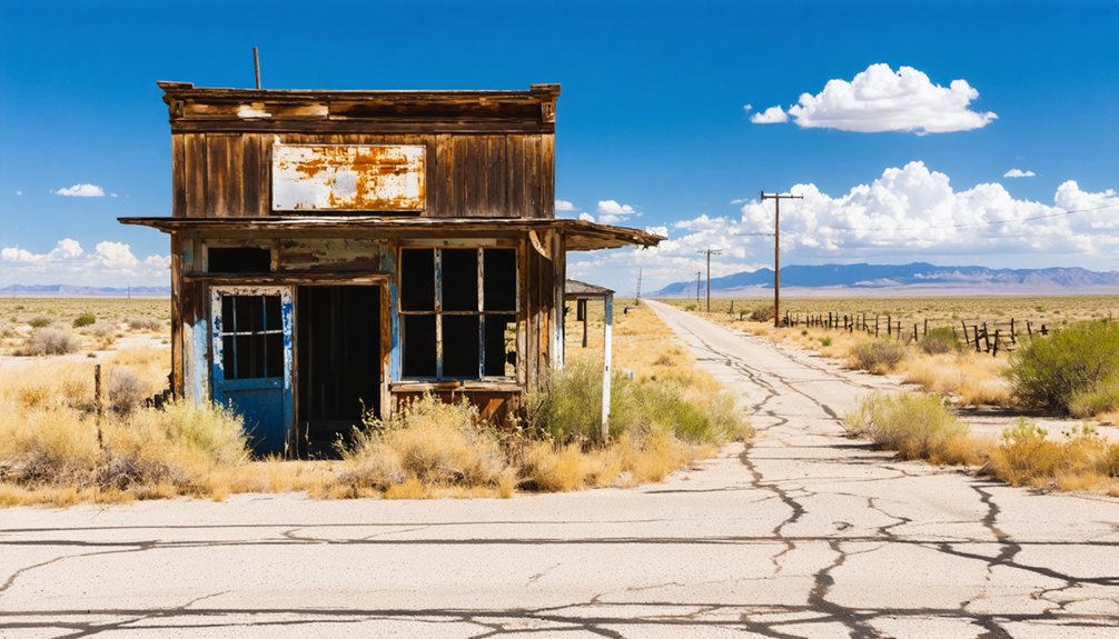
To plan your ghost town road trip to Jewel, Texas, start in Carbon, just four miles northwest of the site. Jewel’s a forgotten frontier settlement in south central Eastland County with no standing structures, so the old cemetery is your main destination. Rural roads lead the way, but they can get slick after rain, so check conditions before heading out. Stick around, and you’ll uncover everything you need to explore Jewel’s haunting history.
Key Takeaways
- Use Carbon, Texas as your navigation hub, located approximately four miles northwest of Jewel, since no structures or signage remain at the site.
- The cemetery is Jewel’s only remaining physical landmark, accessible via rural roads that may become slick after rain.
- Confirm land access and current road conditions with local historical societies before visiting, as no visitor amenities exist.
- Pack water and offline maps, as the rural site offers no services, parking areas, or marked entrances.
- Combine Jewel with nearby ghost towns like Gorman or Cisco to build a comprehensive Eastland County exploration loop.
What Is Jewel, Texas and Why Does It Matter?
Tucked about four miles southeast of Carbon in Eastland County, Jewel, Texas is a ghost town that’s vanished from the map but not from history. Founded in the early 1870s, it once functioned as a genuine local service center, complete with a school, gin, churches, and stores.
Jewel, Texas: a ghost town four miles southeast of Carbon, once a thriving local hub now lost to history.
By 1892, roughly 100 people called it home. But when the Texas Central Railroad bypassed the town, residents packed up and left for Shinoak and Gorman, and Jewel quietly faded.
No historical architecture survives today, and community legends are all that linger alongside a lone cemetery. That erasure is exactly what makes Jewel worth seeking out.
It’s a raw, unfiltered reminder of how a single infrastructure decision could hollow out an entire community almost overnight.
Where Is Jewel Located in Eastland County?
Sitting in south central Eastland County, Jewel’s former townsite rests about four miles southeast of Carbon — and that’s your best navigation anchor when you’re planning the drive. You won’t find a town center waiting for you, so pinpointing Carbon on your map first keeps your route grounded in something concrete.
Jewel’s historical population once reached around 100 residents by 1892, supported by genuine community development — schools, churches, a gin, and stores all operating within this small rural pocket. That growth happened because the location worked for early settlers, sitting within practical reach of surrounding farms and ranches.
Today, the site carries no standing structures. Pull up historical county maps before you leave, and you’ll navigate the area with far greater confidence.
How Jewel Grew Into a Local Service Center
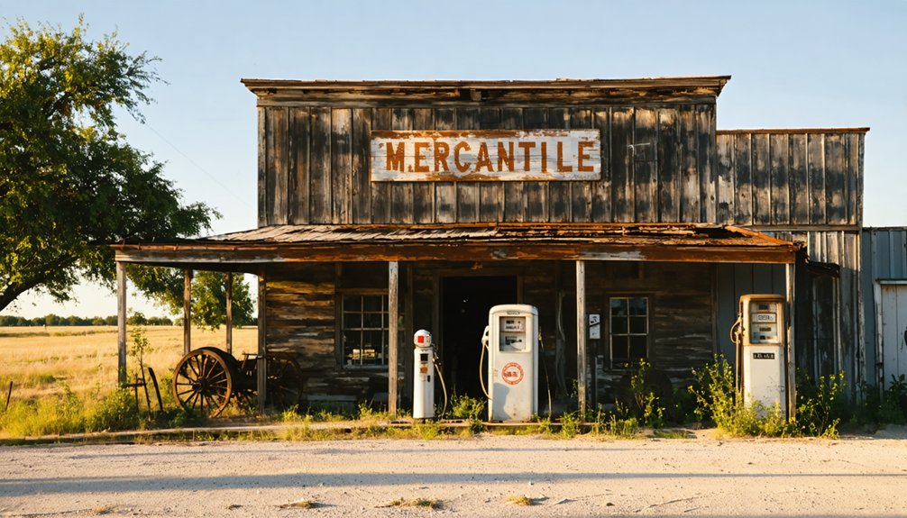
When you trace Jewel’s origins back to the early 1870s, you’ll find a community that wasted no time putting down roots. By 1876, residents had secured a post office, and within two decades the town had grown to roughly 100 people supported by a school, a gin, several churches, and a handful of stores.
That infrastructure tells you Jewel wasn’t just a cluster of homes — it functioned as a genuine local service hub for the surrounding area.
Early Founding And Growth
Though it started as little more than a frontier outpost in the early 1870s, Jewel quickly grew into a functioning local hub that served the surrounding Eastland County community. By 1876, a post office was operating, signaling real commitment from settlers putting down roots.
Community demographics expanded steadily, and by 1892, the population had reached around 100 residents. That growth supported a school, a cotton gin, multiple churches, and several stores — a diverse collection of historical architecture reflecting everyday frontier ambition.
You can picture a self-sufficient settlement where families didn’t need to travel far for essential services. Jewel wasn’t just a cluster of buildings; it was a living, working community carving out its place on the Texas landscape before circumstances beyond its control changed everything.
Essential Community Services
By 1892, Jewel had grown into something genuinely useful for the people living across south central Eastland County. You’d have found a school educating local children, a cotton gin processing harvests, several churches anchoring community life, and stores supplying everyday needs. These weren’t luxuries — they represented genuine community preservation, giving scattered rural families a reliable center where commerce and connection actually happened.
When you visit today, you’re reading historical narratives written not in surviving buildings but in what once stood here. A gin meant farmers had independence. Churches meant organized community identity. Stores meant freedom from long supply runs.
Jewel functioned as a self-sufficient local hub, and understanding that makes the eventual silence of this place feel far more significant than an empty field ever could.
Post Office And Schools
A post office opening in 1876 might seem like a small administrative detail, but it marked Jewel’s official recognition as a settlement worth serving — and gave scattered rural families a fixed point for mail, communication, and community identity.
By 1892, Jewel had added a school, reinforcing its role as a genuine local hub rather than just a cluster of homesteads.
These institutions carried real historical significance. You’re looking at a town that built infrastructure from the ground up, creating systems that connected isolated residents to something larger.
Community preservation efforts today recognize that post offices and schools defined settlement survival.
When Jewel’s post office closed in 1906, it signaled a collapse that no school or storefront could reverse.
How the Texas Central Railroad Killed Jewel’s Future
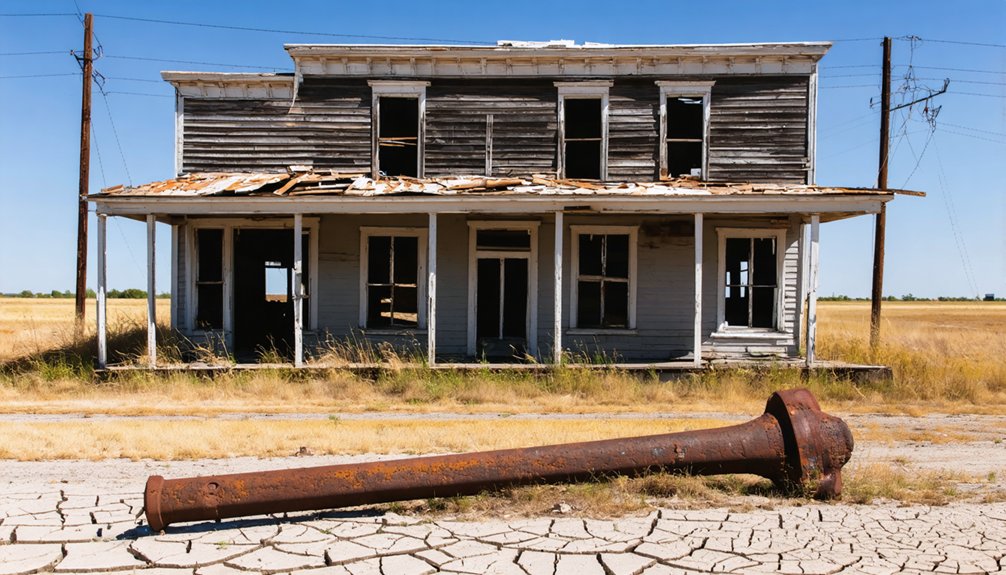
When the Texas Central Railroad bypassed Jewel, it didn’t just redirect a rail line — it redirected the town’s entire future. Historic transportation decisions like this one could erase communities almost overnight. Residents faced a hard choice: stay or follow opportunity elsewhere.
Most chose to leave, heading toward Shinoak or Gorman where rail access promised economic survival. Ghost town preservation efforts today tell this story so you can understand exactly what was lost.
Here’s what the railroad bypass triggered:
- Rapid population decline as residents relocated to rail-connected towns
- Business collapse, stripping Jewel of its stores, gin, and economic backbone
- Post office closure in 1906, the clearest official signal that Jewel was finished
The railroad didn’t destroy Jewel violently — it simply made staying impossible.
What Can You Actually See at the Jewel Site Today?
If you make the drive out to the former Jewel townsite today, don’t expect a main street or a standing structure — what’s left is fundamentally a cemetery marking where a once-functioning community stood. No visitor amenities exist here: no interpretive signage, no parking lot, no restored buildings.
What’s left of Jewel is fundamentally a cemetery — don’t expect a main street or a standing structure.
What you’ll find instead is open rural land in south central Eastland County, roughly four miles southeast of Carbon.
Historic preservation at Jewel exists only in the most minimal sense — the cemetery itself is the sole physical anchor connecting you to a town that once supported schools, churches, stores, and a gin.
Treat this stop as a quiet, reflective moment rather than a developed attraction. Check land access before you go and use Carbon as your navigation anchor.
How to Find the Jewel Cemetery Before You Go
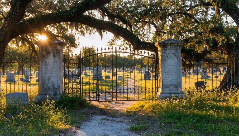
Knowing what little remains at Jewel makes pre-trip research even more important — you’re steering to a cemetery on rural land, not a signposted attraction.
Historical preservation efforts don’t always include public access markers, so verify conditions before you leave home.
Follow these steps before heading out:
- Pull historical county maps of Eastland County to pinpoint the site roughly four miles southeast of Carbon.
- Contact local historical societies — they’ll know current cemetery maintenance status and whether access is restricted.
- Use satellite imagery through online mapping tools to identify the cemetery plot against surrounding rural terrain.
Carbon serves as your best navigation anchor once you’re on the road.
Treating this stop as a research-backed expedition rather than a casual detour keeps your freedom to explore both safe and rewarding.
Cemetery Access and Road Conditions Near the Jewel Site
Rural roads in south central Eastland County don’t always cooperate with road-trip timelines, so you’ll want to scope out conditions before you commit to the drive. Unpaved county roads can turn slick after rain, and some routes near the former Jewel site see little maintenance. Check current conditions through the county road department before heading out.
The cemetery stands as your primary destination, but don’t expect a formal parking area or marked entrance. Local legends about the town’s railroad-era collapse give the site a haunting atmosphere that rewards the curious traveler. Treat any ancient artifacts or grave markers you encounter with respect and leave everything undisturbed.
Carbon, roughly four miles northwest, works well as your last reliable fuel and navigation checkpoint before you push toward the site.
Best Nearby Towns to Anchor Your Jewel Route
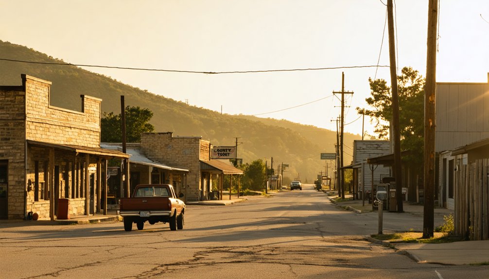
When plotting your route to Jewel, use Carbon—just four miles northwest—as your primary navigation anchor, since it’s the closest active community to the former town site.
Gorman also deserves a spot on your itinerary, as it’s one of the towns that absorbed Jewel’s displaced residents after the railroad bypass, giving it a direct historical tie to the ghost town’s decline.
Mapping both stops before you leave lets you move efficiently through south central Eastland County without backtracking.
Since Jewel left behind no town center to navigate by, Carbon becomes your most reliable anchor point for planning the route. Sitting roughly four miles northwest of the former settlement, Carbon keeps you grounded when modern maps don’t acknowledge Jewel’s existence.
Use Carbon strategically with these three steps:
- Confirm your bearings in Carbon before heading southeast toward the cemetery site.
- Research historical mapping sources to trace how urban development reshaped roads after Jewel’s decline.
- Note cultural preservation efforts like local historical records that document the town’s post office timeline and railroad bypass story.
Carbon isn’t a destination here — it’s your launchpad. Fuel up, orient yourself, and head out knowing exactly what you’re chasing: a place that once mattered and quietly disappeared.
Gorman’s Historical Connection
Gorman holds a direct link to Jewel’s collapse — after the Texas Central Railroad bypassed the settlement, many of its residents packed up and relocated here. That migration shaped Gorman’s early growth, and you can feel that layered history when you walk its streets today.
The community architecture reflects decades of accumulated settlement, with older structures hinting at the waves of arrivals who rebuilt their lives after abandoning places like Jewel. Talk to locals and you’ll find that local lore still carries echoes of those displaced families.
Gorman sits roughly southeast of the Jewel site, making it a natural stop on your route. It gives you context — a living counterpart to the ghost town you’ve just visited, grounding the whole journey in something tangible.
Planning Your Route Efficiently
Because Jewel left behind almost nothing but a cemetery, your route’s success depends heavily on the anchor towns you choose. Smart planning keeps you moving freely without wasted miles.
Use these three anchor points to build your loop:
- Carbon — Sitting roughly four miles northwest, it’s your closest navigation reference and a practical starting point before heading southeast toward Jewel’s former site.
- Gorman — A natural second stop that absorbed Jewel’s displaced residents, giving you direct insight into community legacy and how populations rebuilt after railroad bypasses.
- Eastland — The county seat offers historic preservation resources, maps, and context that sharpen your understanding of the region’s ghost-town pattern.
Together, these towns transform a sparse roadside stop into a layered, meaningful journey through rural Texas history.
How to Build a Central Texas Ghost Town Loop
Planning a Central Texas ghost town loop starts with anchoring your route around Eastland County, where Jewel’s former site sits roughly four miles southeast of Carbon. Use Carbon as your navigation anchor, then branch outward toward other forgotten settlements scattered across the region.
Jewel’s cemetery stands as a quiet proof to historical preservation and community memory, reminding you that a thriving 1892 service center once occupied that ground. From there, connect nearby stops along rural county roads, keeping your map flexible enough to explore unmarked sites.
Expect minimal infrastructure at each location, so pack water, download offline maps, and confirm land access before you leave. This loop rewards curiosity over convenience, offering you an honest look at how railroad decisions permanently reshaped Texas settlement patterns.
How to Combine Jewel With Other Eastland County Ghost Towns
Once you’ve marked Jewel on your map, you can easily fold it into a broader Eastland County ghost town loop by stringing together nearby vanished communities along rural county roads.
Use Carbon, located just four miles northwest, as your navigation anchor since it’s an identifiable modern point that keeps you oriented as you move between sites.
Plotting your route outward from Carbon lets you cover multiple ghost town stops efficiently without backtracking across unfamiliar terrain.
Nearby Ghost Town Routes
Eastland County sits at the heart of a Central Texas ghost-town corridor, making Jewel a natural anchor for a longer loop through the region’s forgotten settlements. Use Carbon as your navigation hub, then branch outward to uncover local legends tied to abandoned structures scattered across the county’s back roads.
Build your route around these three priorities:
- Start at Jewel’s cemetery to ground yourself in the town’s railroad-bypass history before heading further afield.
- Follow rural farm roads connecting smaller former settlements where abandoned structures still occasionally surface along fence lines.
- End near Gorman or Cisco, where former Jewel residents resettled, adding a living-history contrast to your ghost-town experience.
You’ll cover real Texas terrain while tracing how transportation decisions permanently reshaped entire communities.
Carbon makes the cleanest starting point for working Jewel into a broader Eastland County ghost-town loop. It sits roughly four miles northwest of the former town site, making it your most reliable navigation anchor before you head southeast toward the cemetery.
From Carbon, you’re not just following a road—you’re tracing a story of how railroad decisions reshaped entire communities. That’s historical preservation in its most honest form: standing at a crossroads where choices made over a century ago still echo in the landscape.
As you move between stops, you’re participating in community storytelling, piecing together why towns like Jewel thrived and then quietly disappeared. Keep Carbon on your map as both a practical waypoint and a gateway into Eastland County’s layered past.
Frequently Asked Questions
Was Jewel, Texas Ever Known by a Different Spelling in Official Records?
Yes, you’ll find historical spelling variations in official record discrepancies — “Jewell” with a double “l” also appears in historical documents. Don’t let that trip you up when researching this fascinating ghost town!
Which Specific Year Did Jewel’s Population Reach Its Recorded Peak?
You’ll find that Jewel’s population reached its recorded peak in 1892, hitting 100 residents — a snapshot worth chasing for ghost town tourism enthusiasts and historical preservation advocates who crave untamed, off-the-beaten-path Texas discoveries.
Did Any Buildings From Jewel Survive Into the Twentieth Century?
By 1906, Jewel’s post office had closed, sealing its fate. You won’t find ghost town preservation or historical landmark status here — no buildings survived into the twentieth century, leaving only a cemetery marking this vanished community.
Are There Any Descendants of Jewel Residents Still Living Nearby Today?
The knowledge doesn’t confirm descendants, but you’ll likely find them through history preservation efforts in nearby Carbon or Gorman. Chase local legends—area residents often carry ancestral memories of Jewel’s vibrant past worth discovering firsthand.
Is the Jewel Cemetery Still Actively Maintained by Any Local Organization?
Like a flame flickering in the wind, the answer’s unclear—the knowledge base doesn’t confirm active historic preservation or cemetery maintenance by any local organization. You’ll want to contact Eastland County historical groups before visiting.
References
- https://www.tshaonline.org/handbook/entries/jewel-tx
- https://en.wikipedia.org/wiki/List_of_ghost_towns_in_Texas
- https://www.texasescapes.com/TexasTowns/Jewel-Texas.htm
- https://matthigh.livejournal.com/332893.html
- https://authentictexas.com/texas-ghost-towns/
- https://www.texasescapes.com/TOWNS/Texas_ghost_towns.htm
- https://www.ghostsandgetaways.com/blog-1/27-fascinating-ghost-towns-in-texas
- https://texashighways.com/travel-news/four-texas-ghost-towns/
- https://www.texasobserver.org/the-ghosts-of-jefferson/
- https://www.youtube.com/watch?v=3YloCu6fy1E



