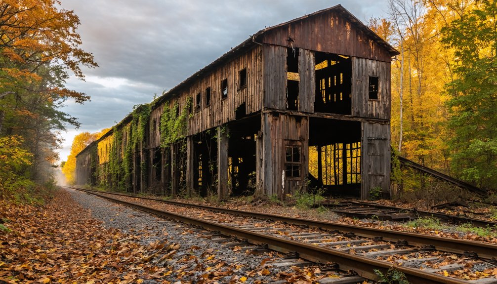
Planning a ghost town road trip to Beeville, Indiana means chasing a community that’s completely vanished. You’ll find it tucked in Lauramie Township near the southern Tippecanoe County border, accessible via County Road 600 East at coordinates 40.22157, -86.79009. No buildings, no foundations—just a faint abandoned railroad grade rising and falling across the landscape. Visit late spring through early fall for the best experience. There’s far more to this forgotten place than its silence suggests.
Key Takeaways
- Beeville is located in Lauramie Township, Tippecanoe County, along County Road 600 East, accessible via GPS at coordinates 40.22157, -86.79009.
- The best time to visit is late spring through early fall, with summer offering long daylight hours for exploration.
- No buildings or structures remain; the abandoned railroad grade is the only tangible physical feature to explore.
- Combine Beeville with nearby Milton, Indiana, which offers five standing houses for a diverse ghost town experience.
- Nearby attractions include Lafayette, Prophetstown State Park, and other Tippecanoe County ghost towns to enrich your road trip.
What Is Beeville, Indiana: and Is It Really Worth Finding?
Tucked away in Lauramie Township near the southern border of Tippecanoe County, Beeville, Indiana is about as gone as a town can get — no residents, no buildings, and barely a trace it ever existed.
Platted in 1884 alongside the Toledo, St. Louis and Western Railroad, it once held real promise, with at least 10 lots mapped out for homes and businesses. That promise never materialized.
Where Is Beeville, Indiana, and How Do You Get There?
If you’re ready to track down what’s left of Beeville, Indiana, you’ll find it tucked near the southern border of Tippecanoe County, sitting right along County Road 600 East at coordinates 40.22157, -86.79009. You can plug those GPS decimals straight into your navigation app for a precise route to the site.
The site rests at an elevation of about 796 feet. Once you arrive, you’ll notice the road itself follows the old grade of an abandoned railroad line, the same tracks that once made Beeville’s brief existence possible.
Beeville’s Exact Location
Beeville sits in Lauramie Township near the southern border of Tippecanoe County, Indiana, at coordinates 40.22157, -86.79009 — precise enough to plug directly into your GPS. You’ll find it along County Road 600 East, elevated at roughly 796 feet above sea level.
What makes this spot compelling isn’t just its remoteness — it’s the historical significance embedded in the land itself. The site traces the exact grade of the old Toledo, St. Louis and Western Railroad, the very infrastructure that inspired Beeville‘s platting in 1884.
Today, no buildings remain, and preservation efforts never materialized, leaving only the terrain as silent testimony. You’re fundamentally standing where an entire community once dreamed of growing — and quietly disappeared. That’s a road trip worth taking.
Driving Directions There
Getting to Beeville is straightforward once you orient yourself around Tippecanoe County’s rural grid. Head to the southern edge of the county and locate County Road 600 East — that’s your primary route to the site.
You’ll notice the road traces the grade of an old railroad line, a quiet reminder of the railroad history that shaped this community back in 1884.
Plug these GPS coordinates into your navigation app: 40.22157, -86.79009. You’ll arrive at an elevation of roughly 796 feet, where ghost town ruins — or rather, the complete absence of them — greet you.
There’s nothing left standing, so you’re fundamentally visiting a ghost town in the purest sense. The freedom of open, empty land is the whole experience here.
Why Did Beeville Exist at All? The Railroad That Built and Abandoned It
Like so many forgotten towns scattered across Indiana, Beeville didn’t grow organically from a thriving community—it was fundamentally manufactured by a railroad. In 1884, developers platted the town alongside the Toledo, St. Louis and Western Railroad, carving out at least 10 lots intended for homes and businesses.
Its historical significance lies entirely in that connection—without the railroad, Beeville simply wouldn’t have existed.
That dependency became its death sentence. When railroad decline swept through rural America, small corridor towns like Beeville had nothing else sustaining them. No industry, no independent economy, no reason to stay.
People left, buildings disappeared, and the land returned to silence. Today, you’re walking a site where ambition once met geography—and geography quietly won.
What’s Actually Left of Beeville Today?
When you arrive at the site of Beeville today, you’ll find virtually nothing standing — no buildings, no foundations, no sign that anyone ever called this place home.
The town has vanished so completely that you’d likely drive past it without realizing you’d reached your destination.
Your best clue that something once existed here is the subtle grade of the old railroad line, which still quietly traces its path along County Road 600 East.
No Structures Remain
Although Beeville once held real promise as a developing township, you won’t find a single structure standing there today. The original plat included at least 10 lots designed for homes and businesses, yet none survived the town’s quiet decline.
Its historical significance lies not in visible remains but in what the absence itself reveals — a community that simply couldn’t sustain momentum after the railroad era faded.
Don’t let the empty landscape discourage you, though. The site carries real archaeological potential for those willing to look beyond the surface.
Walk the old railroad grade along County Road 600 East, and you’re literally tracing the footsteps of 1884-era settlers. The land holds stories even when the buildings don’t.
That invisible history is worth experiencing firsthand.
Faint Railroad Traces
What you’ll actually find at Beeville today isn’t a ghost town in the dramatic sense — no crumbling walls, no weathered signage, no skeletal structures clinging to the landscape. Instead, the most tangible connection to its past lies beneath your feet: the subtle grade of the old Toledo, St. Louis and Western Railroad corridor.
That slight rise and fall in the earth carries real historical significance. It’s the railroad that built Beeville in 1884, and its faint impression remains the last honest trace of the town’s existence.
No formal preservation efforts protect this corridor, which makes your visit feel raw and unfiltered. You’re reading the land directly, tracing a vanished community through terrain rather than ruins — and that’s a quietly powerful experience for any freedom-seeking explorer.
When Should You Visit Beeville, Indiana?
Timing your visit to Beeville, Indiana can make a real difference in the experience, even if there’s virtually nothing left to see. Late spring through early fall offers the clearest skies and most passable road conditions along County Road 600 East. You’ll move freely without weather slowing you down.
Summer gives you long daylight hours to explore the abandoned railroad grade and soak in local legends tied to the town’s 1884 origins.
Fall strips the vegetation back, occasionally revealing subtle ground-level clues — the closest thing to historical artifacts you’ll find here.
Avoid winter visits; frozen roads and limited visibility reduce the experience considerably.
Whatever season you choose, come with curiosity and realistic expectations. Beeville rewards those who appreciate the freedom of uncovering forgotten history on their own terms.
What Else Can You See Near Beeville in Tippecanoe County?
Once you’ve absorbed everything Beeville’s silent landscape offers, Tippecanoe County gives you plenty of reasons to keep exploring. Lafayette sits nearby, anchoring the region with strong historical preservation efforts through museums, battleground sites, and restored architecture that tell Indiana’s layered story.
Prophetstown State Park draws visitors into the era of Native American heritage and frontier conflict, where local legends surrounding Tecumseh and the Battle of Tippecanoe still echo through the landscape. You can wander the Wabash River corridor, discover rural crossroads communities, and chase down other ghost towns scattered across the county’s forgotten corners.
Tippecanoe County rewards independent travelers who move at their own pace, follow unmarked roads, and let curiosity drive the route. Beeville is just your starting point — the county offers far more to uncover.
How Does Beeville Compare to Other Indiana Ghost Towns?

Indiana holds at least forty-one documented ghost towns, and Beeville sits at the far end of that spectrum — a site so thoroughly erased that nothing physical remains.
Compare that to Milton, Indiana, a Level 4 ghost town where five houses still stand, offering visible historical preservation and modest tourist attractions for curious travelers.
Milton, Indiana stands as a Level 4 ghost town — five houses remaining, history still visible, tourism quietly alive.
Beeville gives you nothing but open land and silence. That contrast actually sharpens the experience.
You’re not touring a preserved relic — you’re standing where a community once platted ten lots, built alongside a railroad, and then quietly disappeared.
Some ghost towns hand you remnants. Beeville hands you imagination.
If you crave raw, unfiltered abandonment rather than curated history, Beeville delivers something Milton simply can’t — complete erasure.
Which Other Indiana Ghost Towns Are Worth the Drive?
Beeville won’t be your only stop if you’re serious about ghost town hunting across Indiana. The state holds at least 41 abandoned communities, each carrying its own historical significance worth exploring.
Milton, Indiana offers more tangible tourist appeal since it still has five standing structures, giving you something physical to photograph and examine.
Indiana also harbors two “drowned towns,” submerged communities with a uniquely haunting backstory that draws curious travelers. Each site tells a different chapter of the state’s forgotten past.
You’re free to build a full road trip around these locations, moving from empty lots like Beeville to towns with visible remnants. Indiana rewards the adventurous traveler who’s willing to chase history down rural roads and piece together what once existed.
Frequently Asked Questions
What Is the ZIP Code and Area Code for the Beeville Area?
You’ll find Beeville’s zip code is 47930 and the area code is 765. These details help you navigate this historical preservation site, making it easier to explore Indiana’s fascinating, freedom-rich tourist attractions and forgotten ghost town landscapes.
How Many Lots Were Originally Planned in Beeville’s 1884 Layout?
When Beeville’s 1884 layout launched, you’d have found at least 10 lots planned for historical preservation and urban development. That original vision promised houses and businesses, yet freedom ultimately reclaimed the land, leaving nothing behind today.
You’ll navigate to Beeville’s abandoned landscapes using GPS decimal coordinates 40.22157, -86.79009. Plug them in and chase haunted legends across Indiana’s forgotten terrain, where freedom calls and history’s ghostly silence awaits your curious, adventurous spirit.
How Many Total Ghost Towns Have Been Identified Across Indiana?
You’ll find 41 historical ghost towns dotting Indiana’s landscape as recognized landmarks! That’s a fascinating statistic for freedom-seeking explorers like you. These abandoned Indiana landmarks reveal forgotten communities, with Beeville among the most completely vanished destinations you can discover.
What Elevation Does the Beeville Ghost Town Site Sit At?
You’ll find Beeville’s ghost town site sitting at approximately 796 feet above sea level. It’s a fascinating historical preservation landmark where tourist attractions are minimal, yet the freedom of exploring Indiana’s forgotten past makes it unforgettable.
References
- https://en.wikipedia.org/wiki/Beeville
- https://kids.kiddle.co/Beeville
- https://www.youtube.com/watch?v=IeayU8CmF5w
- https://www.wikiwand.com/en/articles/Beeville
- http://wikimapia.org/34624163/Beeville-Indiana-Ghost-town
- https://en.wikipedia.org/wiki/List_of_ghost_towns_in_Indiana