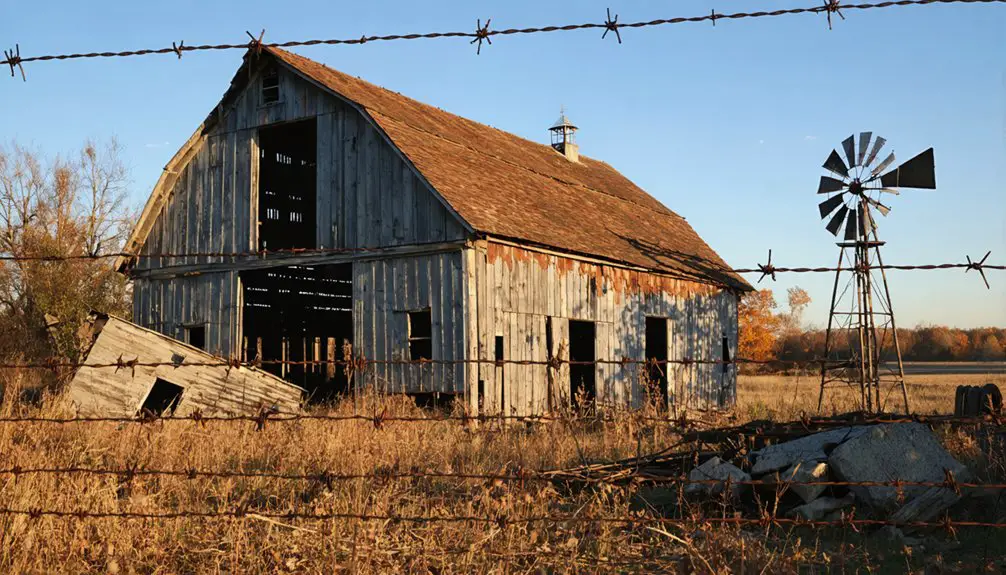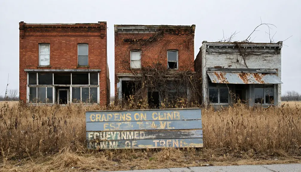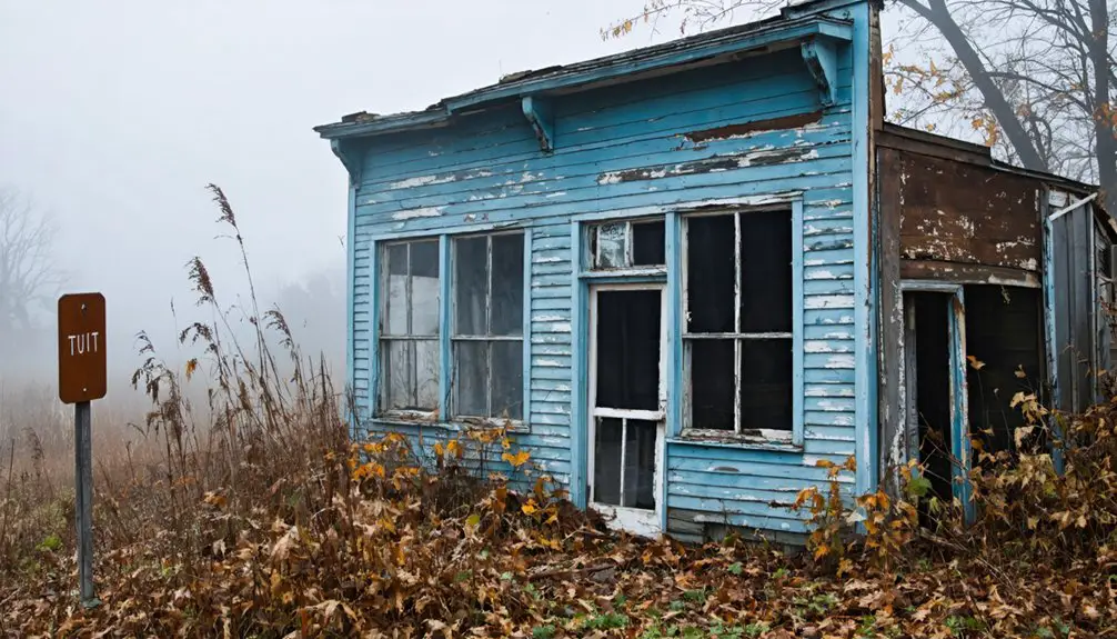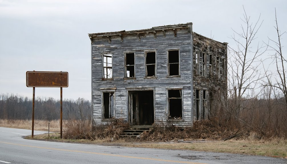
Planning a ghost town road trip to Claylick, Ohio means exploring a community swallowed by floods and buried beneath a federally managed floodplain in Licking County. You won’t find standing ruins or interpretive signs — just layers of sediment concealing a once-thriving settlement with a mill, general store, and post office. Visit in fall for the best conditions and bring sturdy boots for uneven terrain. There’s far more to this forgotten place than meets the eye.
Key Takeaways
- Claylick, Ohio, once a self-sufficient settlement, was destroyed by floods in 1919 and 1959, then buried by the Dillon Dam project.
- No standing structures remain; the site is a federally managed flood control zone with sediment concealing former foundations.
- Visit in fall (late September–November) for optimal visibility, cooler temperatures, and better photography conditions.
- Pack sturdy boots, a camera, insect repellent, and a first-aid kit for safe floodplain exploration.
- Check recent rainfall before visiting, avoid trails after heavy storms, and leave no trace to preserve the site.
What Was Claylick, Ohio Before the Floods?
Before the floodwaters erased it from the map, Claylick, Ohio was a modest but functioning community tucked into Licking County at the confluence of Clay Lick Creek and the Licking River. You’d have found a working mill grinding grain and a general store stocking daily essentials — historic landmarks that kept neighbors connected and commerce moving.
The post office, operating under the name “Clay Lick” from 1852 to 1918, made the town a regional mail hub for decades. Local legends grew naturally around a place where people gathered, traded, and built lives at 791 feet above sea level.
It wasn’t glamorous, but it was real — a self-sufficient settlement that flood-driven destruction and the Dillon Dam project ultimately condemned to history.
How Two Floods Erased Claylick From the Map
That self-sufficient community didn’t fade quietly — it was struck twice, hard, by floodwaters that left almost nothing standing. Urban decay didn’t creep in slowly here; the Licking River simply swallowed Claylick whole.
Two catastrophic events sealed its fate:
- 1919 flood — devastated structures and forced residents to abandon their homes and livelihoods
- 1959 flood — delivered the final blow, destroying whatever survival the town had managed
- Dillon Dam project — followed the 1959 disaster, burying the remaining footprint beneath a managed floodplain
Historical preservation became impossible when government infrastructure erased what nature started.
You won’t find standing walls or reclaimed streets here.
What you’ll find is silence, water, and a controlled flood zone where a living community once thrived on its own terms.
What’s Actually Left to See at Claylick Today?
When you arrive at Claylick today, you’ll find almost nothing standing — the two devastating floods and the Dillon Dam floodplain project erased virtually every structure the town once held.
GNIS still marks it as a “populated place” on maps, but that designation reflects history rather than reality, since no active settlement exists above ground.
You’re fundamentally visiting a managed flood control zone, where the remnants of the old mill, general store, and community life lie buried beneath layers of sediment and engineered floodplain.
Remnants Beneath The Floodplain
Though Claylick once bustled with a working mill and general store, virtually nothing remains standing for you to explore today. Two devastating floods and the Dillon Dam floodplain project erased nearly every trace of this community. Layers of floodplain sediment now bury whatever underground foundations once anchored the town’s buildings.
What you won’t find above ground:
- Visible structural remnants of the original mill or store
- Recognizable streets, lots, or building footprints
- Any marked historical monuments or preserved ruins
The entire site exists now as a managed flood control zone, not a walkable ghost town. You’re fundamentally standing over history rather than walking through it. If you crave tangible ruins to photograph and explore, Claylick will leave you searching empty landscape.
Mapped But Mostly Gone
Despite its presence on official maps, Claylick offers you almost nothing physical to see. The GNIS still classifies it as a “populated place,” but don’t let that fool you.
Flood impact from 1919 and 1959 erased nearly every structure, and the Dillon Dam project finished what nature started. You won’t find restored buildings, interpretive signs, or historical preservation efforts marking this site.
The mill, the general store, the post office that operated for 66 years — all of it’s gone. What remains is fundamentally managed floodplain, controlled and largely inaccessible.
You’re visiting a coordinate, not a community. If you crave tangible history you can walk through and photograph, Claylick will disappoint.
It’s a ghost town in the most absolute sense — erased, not just abandoned.
Flood Control Zone Today
What you’ll actually find at Claylick today is a federally managed flood control zone — not a ruin, not a preserved site, but a controlled landscape shaped entirely by the Dillon Dam project. Dam construction erased what the 1959 flood didn’t finish, leaving behind a reclaimed floodplain ecology instead of streets or foundations.
Here’s what greets you now:
- Wetland grasses and river vegetation where buildings once stood
- Managed water levels that shift the terrain seasonally
- Zero visible structures from the original mill or store
You’re fundamentally walking through a government-engineered landscape. The land breathes differently here — wilder, wetter, indifferent to history. If you’re chasing tangible remnants, Claylick will frustrate you. But if you respect what nature and infrastructure together can erase, it’ll leave an impression.
Which Licking County Ghost Towns Are Worth the Drive?
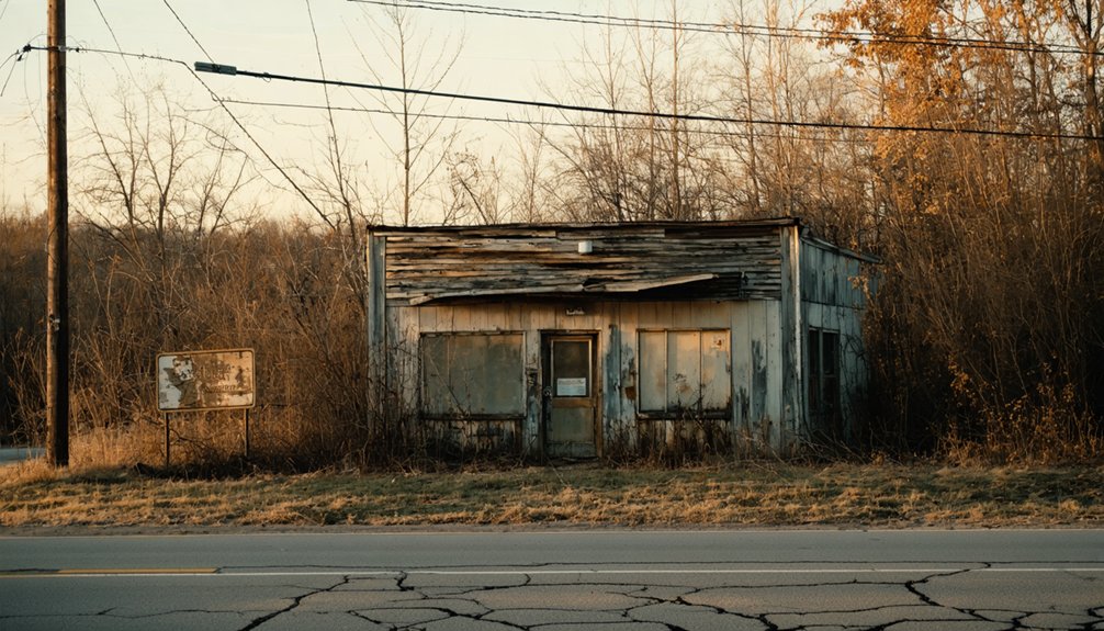
Licking County has more ghost town stories than you might expect, and a few of them are worth adding to your road trip itinerary. Avondale once hummed with railroad activity as a station on the Baltimore and Ohio Railroad’s Straightville Division — today, it’s a quiet stop steeped in local legends and historic preservation efforts.
Moscow tells an even starker story; once comparable in size to nearby Luray, it had nearly vanished by 1881, leaving little more than a bridge behind. These aren’t polished tourist destinations — they’re raw, forgotten places that reward curious travelers willing to explore off the beaten path.
If you’re already heading toward Claylick, building these stops into your route adds depth and context to the whole journey.
When’s the Best Time to Visit Ohio Ghost Towns?
If you’re planning a ghost town road trip through Ohio, your timing can make or break the experience. Fall, from late September through November, delivers stunning foliage and crisp temperatures between 30–60°F, creating dramatic backdrops for photography at crumbling ruins.
Spring, from March through May, brings wildflowers along hiking trails and similarly mild conditions that make trekking through overgrown sites far more comfortable.
Ideal Visiting Seasons
Timing your ghost town road trip right can make the difference between an unforgettable adventure and a miserable slog. Ohio’s abandoned landscapes reveal themselves differently across seasons, and choosing wisely maximizes both your experience and historical preservation efforts.
Two seasons stand out as ideal:
- Fall (late September–November): Vivid foliage frames crumbling structures beautifully, with temperatures holding between 30–60°F — perfect for long explorations without overheating.
- Spring (March–May): Wildflowers push through forgotten foundations, highlighting the environmental impact floods and abandonment left behind, with similarly comfortable temperatures for hiking.
- Avoid summer: Overgrown vegetation obscures ruins, humidity drains energy fast, and crowds diminish that raw, solitary freedom you’re chasing.
Pack accordingly, move deliberately, and let the season itself become part of your ghost town story.
Weather and Trail Conditions
Weather shapes every ghost town visit in ways you can’t ignore — trail conditions shift dramatically depending on what Ohio’s skies have been doing for days or weeks before you arrive. Heavy spring rains turn access paths into mud traps, making it harder to reach historical landmarks without proper footwear.
Summer humidity feels relentless among overgrown ruins, while winter ice makes unstable ground genuinely dangerous.
Fall delivers your clearest advantage. Cooler temperatures between 30–60°F firm up the soil, improve visibility through thinning foliage, and create dramatic backdrops for photography. You’ll move freely through the landscape where local legends once shaped daily life.
Check recent rainfall data before heading out — even a single heavy storm can transform a manageable trail into an impassable mess worth avoiding entirely.
What to Bring When Exploring Abandoned Sites in Ohio?

Exploring abandoned sites like Claylick demands the right gear to keep you safe and help you capture every detail. Ohio’s ghost towns offer raw, unfiltered history, but you’ll need preparation to fully experience them.
Pack these three essentials before heading out:
- Sturdy boots – Uneven terrain and submerged ground near Claylick’s floodplain make ankle support non-negotiable.
- Camera gear with low-light capability – Historical artifacts and shadowed ruins reward photographers who come equipped.
- Wildlife encounter supplies – Insect repellent and a first-aid kit protect you when nature reclaims abandoned spaces.
You’re stepping into places where civilization surrendered to floods and time. Respect the environment, travel light but smart, and you’ll leave with stories worth telling.
Frequently Asked Questions
Is Claylick, Ohio Officially Recognized as a Ghost Town?
Claylick isn’t officially a ghost town, but you’ll find it’s classified as a “populated place” with no active community. Its abandoned buildings and haunted legends make it a compelling, flood-destroyed settlement worth exploring.
What County Boundaries Does the Claylick Site Actually Fall Within?
You’ll find Claylick’s historic landmarks straddling two county boundaries — Bennington Township in Licking County and Milford Township in Knox County — where local legends of devastating floods still echo across this hauntingly forgotten landscape.
How Long Did the Claylick Post Office Serve the Local Community?
Like a lifeline through time, Claylick’s historic postal services anchored community development for 66 years—from 1852 to 1918. You’d have relied on this essential hub for mail, connection, and the freedom of communication it proudly delivered.
What Elevation Is the Former Claylick, Ohio Town Site Located At?
You’ll find Claylick’s former town site sitting at 241 meters (791 feet) elevation, where historical landmarks once thrived and local legends echo through the floodplain — a hauntingly free, open terrain swallowed by nature’s unstoppable force.
Was Claylick One of Ohio’s Largest Flood-Destroyed Towns Historically?
Yes, you’d think floods would spare a quiet town, but Claylick’s historical flood impacts made it one of Ohio’s largest flood-destroyed settlements, leaving only abandoned town remnants where a thriving community once stood.
References
- https://kids.kiddle.co/List_of_ghost_towns_in_Ohio
- https://ohioghosttowns.wordpress.com/licking-county/
- https://www.lickingtwplc.gov/documents/history/GhostTowns.pdf
- https://en.wikipedia.org/wiki/Claylick
- https://en.wikipedia.org/wiki/List_of_ghost_towns_in_Ohio
- https://zh.wikipedia.org/wiki/克萊利克_(俄亥俄州)
- https://kids.kiddle.co/Claylick